scotland

Solway Wiggles

I’ve ridden nearly 300 km since the last post (I had a weather-induced rest day on Friday in the middle). And yet, in a straight line, I’m only 100km from where I started in Stranraer. Yesterday’s 110 km (69 miles) only got me just over 40km (25 miles) away from my start point, after a roughly 160 degree turn in the middle of the day.

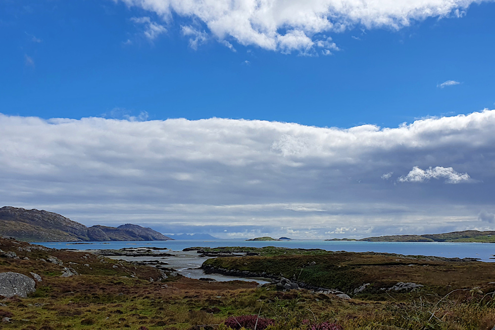
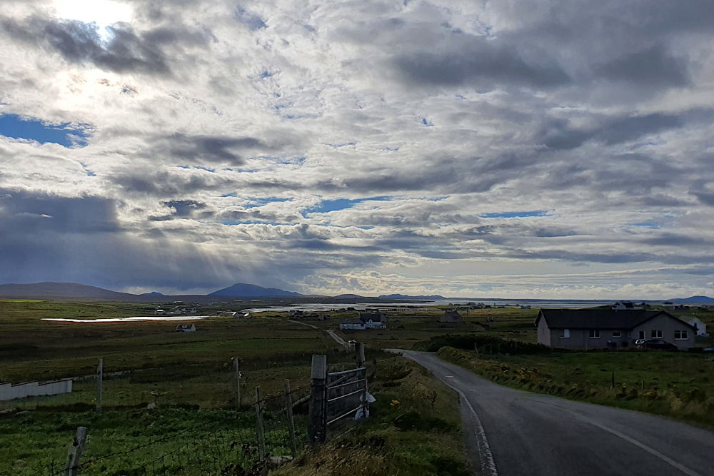
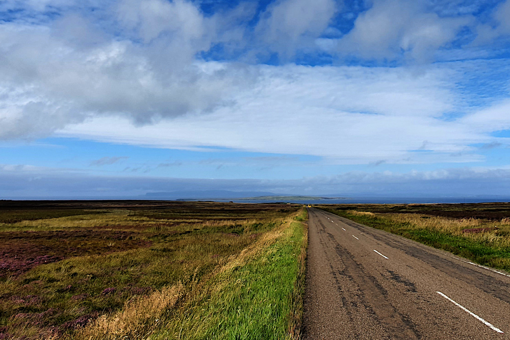
There’s no doubt that I’ve been back in the west of the UK, as the road has wiggled around headlands and through hills around the Solway Firth. I didn’t really know much about the area, as English tourists tend to either stop to the south in the Lake District, or burn straight through to Glasgow on the motorway.

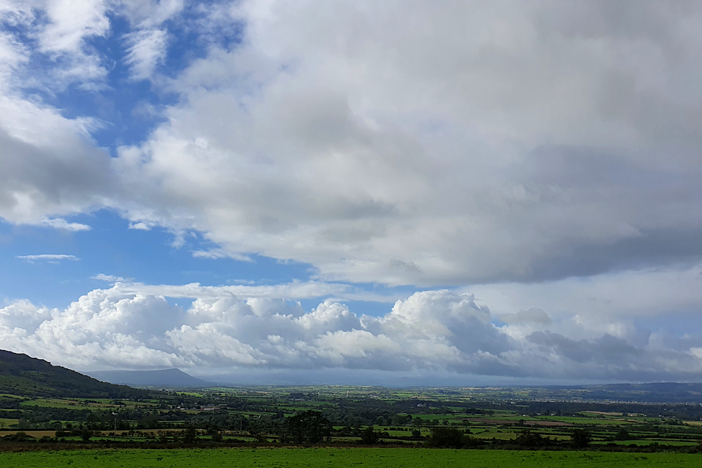
More should stop, as both the coast and interior of Dumfries and Galloway are lovely.

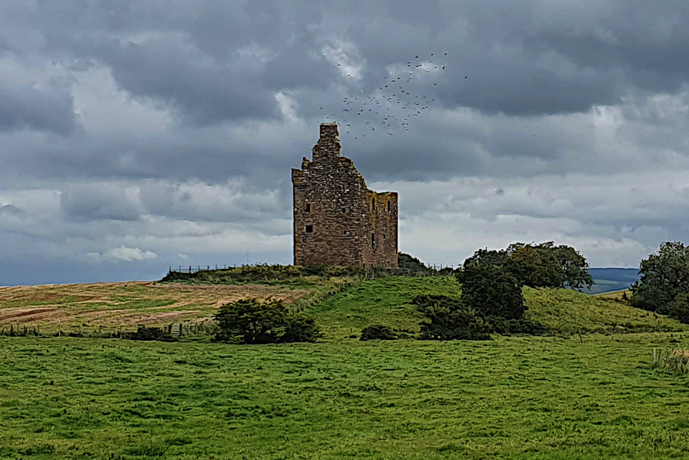
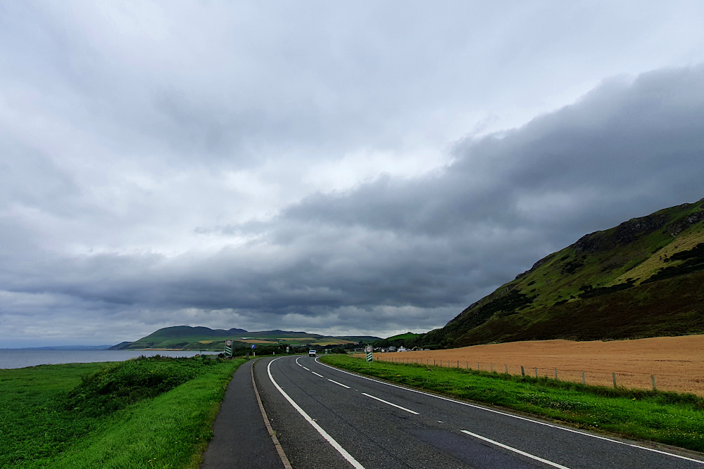
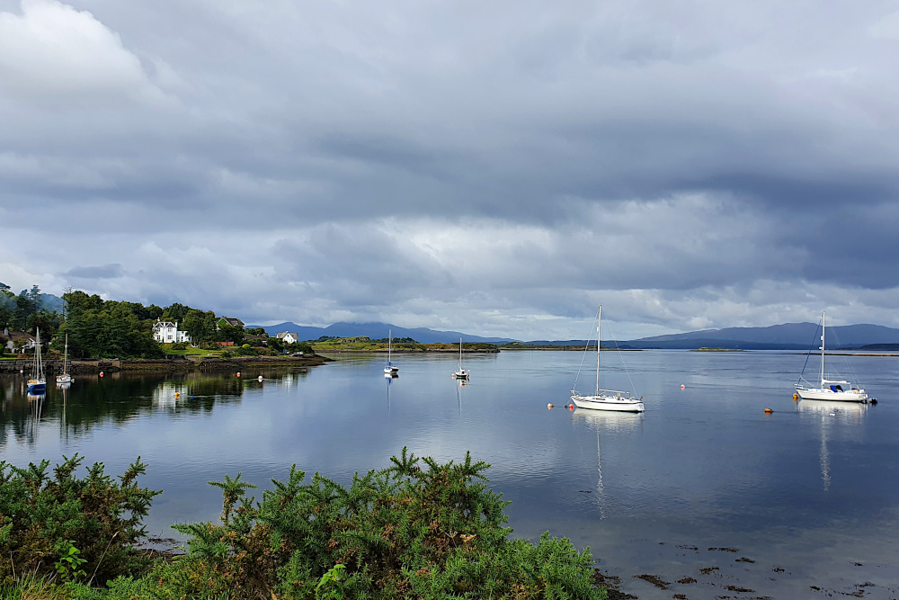
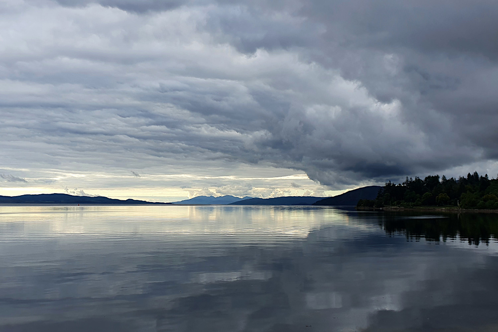
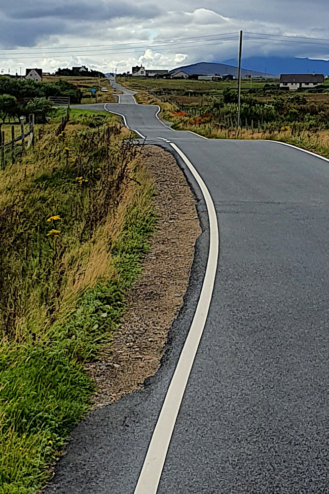
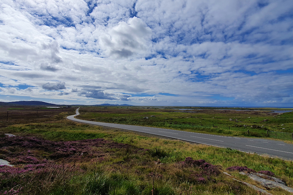
The two pictures above are on the way from Stranraer to Whithorn. I was super happy to be following a quiet, beautiful coastline that I’d never heard of, without the recent stresses of dodging showers all day.

The coast dives in and out of various estuaries, making following it a lengthy and time consuming process. In many cases, there are towns with bridges, but these are usually a detour of several miles upstream.

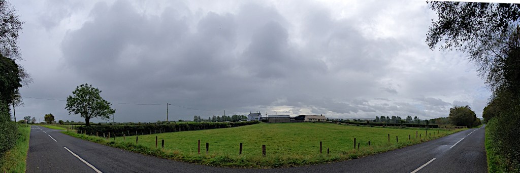
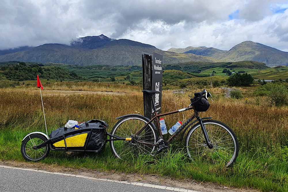
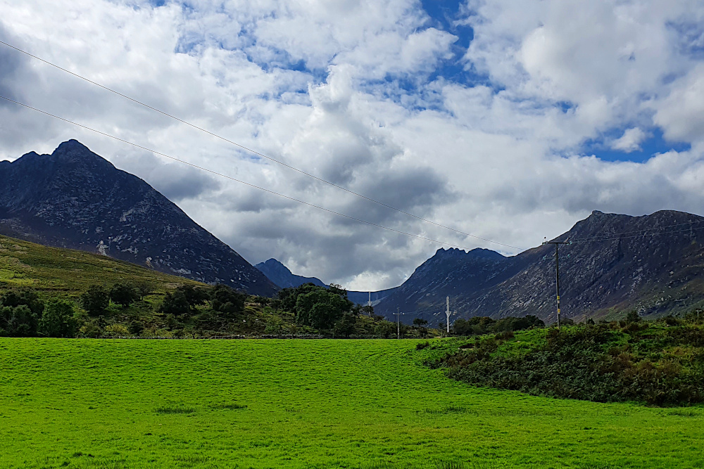
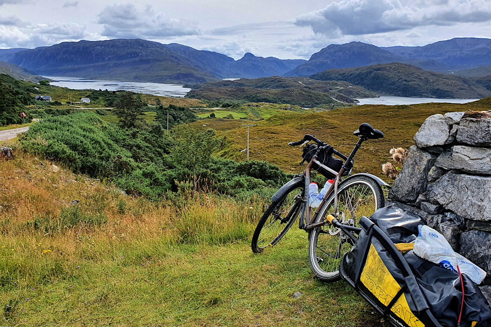
So I decided to cut inland a little to get a straighter line to Dumfries. But then you hit hills. The area really has it all; although hilly, these are not massive mountains, and mostly benefit from roads engineered with moderate gradients (if a few awful road surfaces).

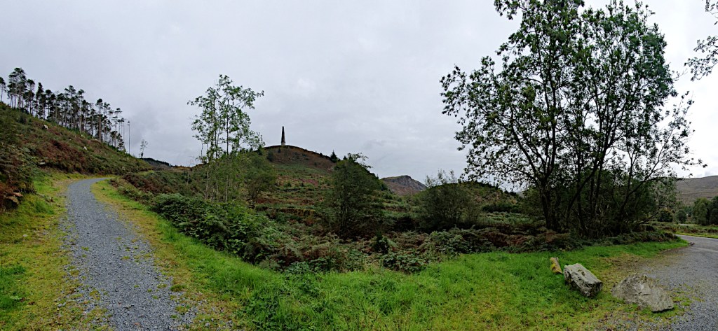
The inland area is as pretty and quiet as the coast. And the area is also the UK’s first ‘dark skies’ zone, so you can even have a nose at the stars without background light pollution (if you get a clear night).

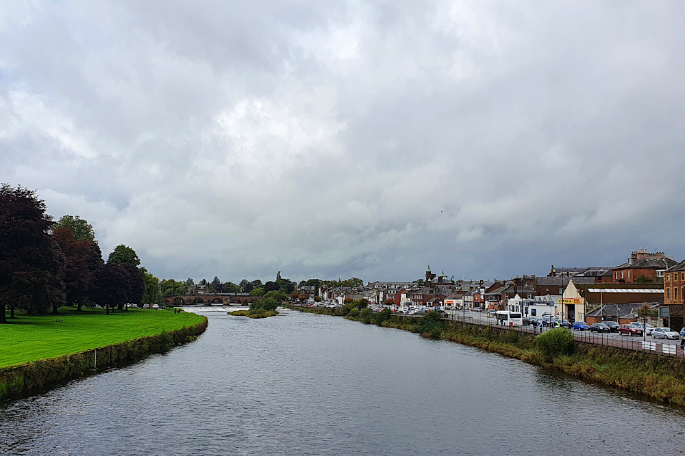
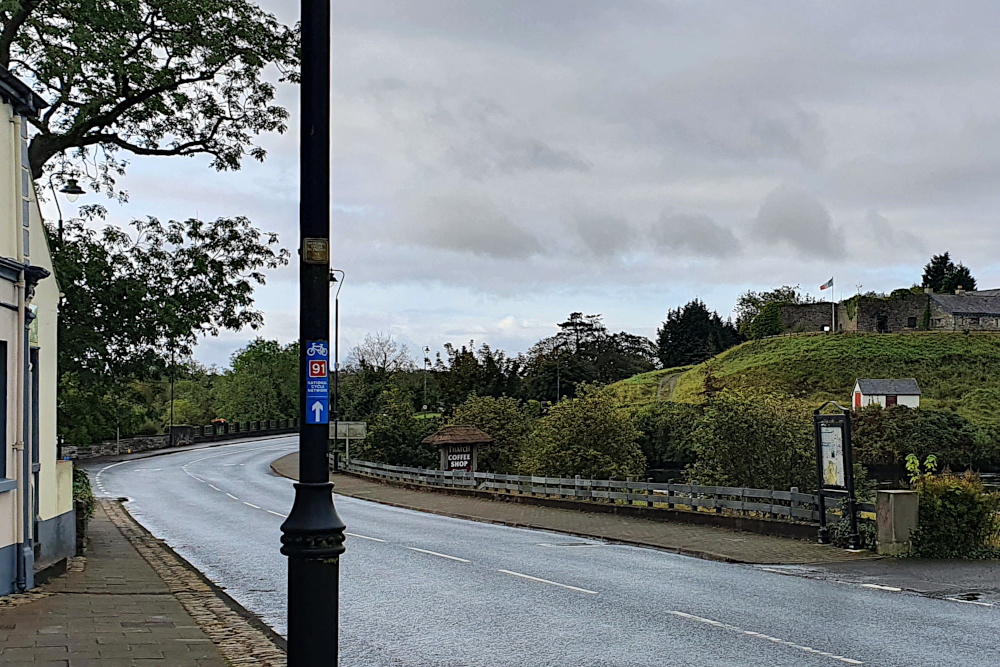
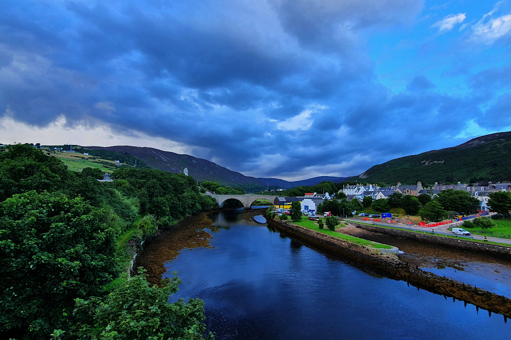
Dumfries town was pleasant enough, and a day of awful weather on Friday gave me the opportunity to wash my clothes for the first time in, erm, much too long.

It’s another place with a Robert Burns connection. He was born over on the west coast in Ayrshire, but spent a lot of his later life in Dumfries. You can certainly see how being in the midst of such stunning landscapes would be inspiring for a writer.

I wasn’t expecting an encounter with Devil’s Porridge on the way to the English border yesterday (Saturday). In the modern world, I’d imagine some sort of weird, spicy breakfast cereal. But it turns out that it was actually the explosive cordite.

As well as being the Scottish centre for eloping English couples to get married, Gretna was also the location of the biggest factory in the world during the First World War, turning out delightful explosive material to help everyone out in the trenches. There’s a little museum there now, just a couple of miles short of the border.

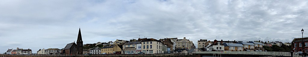
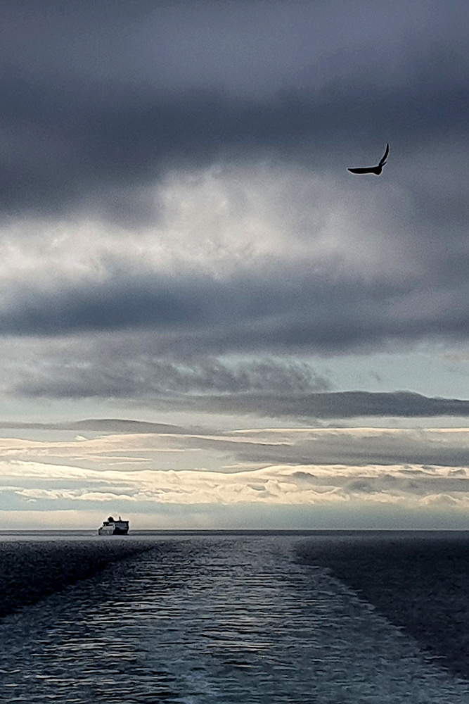
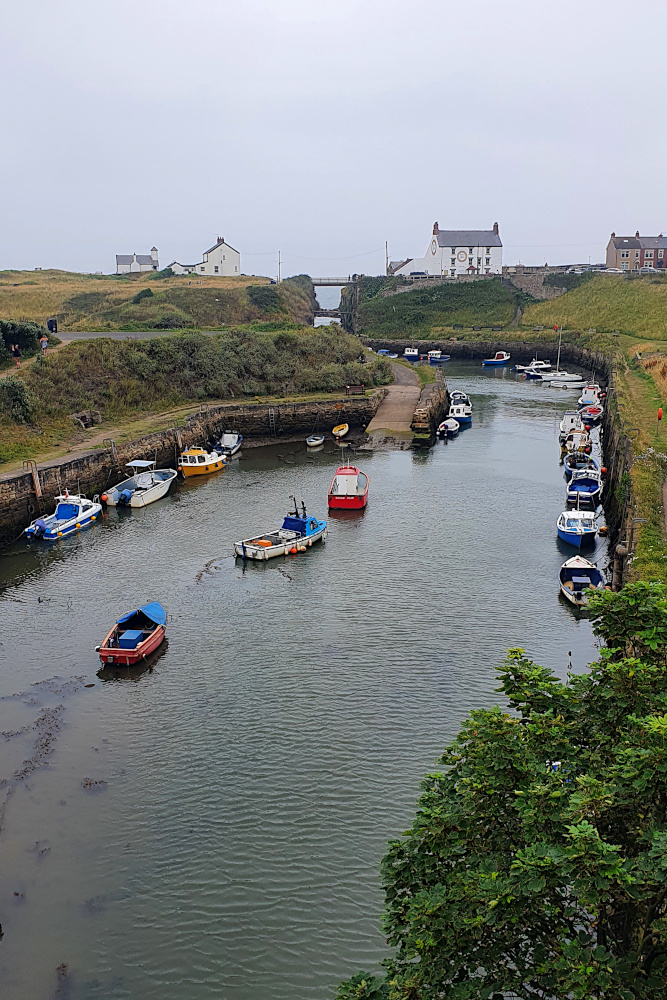
Crossing the border back into England brought with it the feeling that the trip is coming towards the end. That’s still a while off, as there’s still a large chunk of the English North West to get round (I’m starting in Maryport, above, on the Cumbrian coast this morning), as well as the whole of Wales. But I do feel sad to have left Scotland behind for this trip; it’s been great.

Those pesky local lockdowns haven’t yet impinged on my route, but there are more of them every few days. Liverpool and South Wales are probably the ones I need to keep the closest eye on. But for today, it’s more of the standard bike touring issues – near storm force headwinds, and those west coast wiggles. I’d better get cracking, as it’s not going to be quick today…

Advertisement

A Circle Formed

Until yesterday (Tuesday), I’d ridden most of the way around three of the UK’s constituent parts, but not all the way around anything. But as I rolled off a segregated bike path into the centre of Belfast, I realised that I was about to meet the Big Fish again, and complete the circuit in Northern Ireland (‘NI’).

I’d spent the previous days in border country. On both sides of the border, in fact, as it’s pretty much impossible to avoid crossing over a few times. At the moment, it makes little difference; it’s all largely rural, there are vehicles from the UK mainland, NI and the Republic on the roads, and the rain showers pursued me regardless of which country I was in.

If you ever need the info for a quiz question, the westernmost settlement in the UK is called Belleek, and is a pretty little town between the western end of Lough Erne and the Atlantic. If you have a swift half in the last pub in the UK, and then turn the corner, you’re faced with the border (pic above).

As you can probably see, there really isn’t one. A British cycle route sign points you straight across the international border into Ireland. And 150 metres later, you hit a junction with the main road, and are back in the UK again. Who knows how all this would work if the Brexit negotiations go wrong?

I cut across a somewhat larger chunk of Ireland later that day. County Monaghan pushes the border way to the north, which would have made an awfully long diversion. So I cut across it. Despite some incredibly black clouds floating about close to where I was, I managed to navigate this excursion into ‘abroad’ without too many issues, and popped back into Northern Ireland on the ferry across Carlingford Lough on Monday morning.

Sadly, although I wasn’t getting all that wet, the proximity of rain was definitely affecting the views as I rumbled up the eastern coast of NI. The Mourne Mountains were mostly hidden under clouds, and, although they look quite atmospheric in the gloom (above), it would have been nice to see their full magnificence.

The flip-side of the south-westerly wind that was pushing all the rain my way was a decent tailwind, so I made good progress back towards Belfast. Even the extra wait to cross Strangford Lough (due to the school ferry taking priority for some reason) didn’t hold me up too much.

And so, yesterday morning (Tuesday), I finally located the awfully-signposted Greenway into central Belfast. This is a lovely piece of infrastructure, with a wide ribbon of nearly-new tarmac whisking you through the suburbs before suddenly dropping you off in central Belfast. It needs much better signs, as it took me nearly half an hour in the small town of Comber to find the far end of it, but once again, it’s good to see decent cycling facilities being put into various UK towns and cities.

Once I’d met the Big Fish again, thereby completing the circle of NI, it was just a case of retracing my earlier wheel tracks to the ferry port, and on to the Tuesday afternoon sailing back to Scotland, pursued this time not by rain, but by seagulls and competing ferries.

Although I’d have preferred some sort of open-jaw excursion to Ireland, without arriving back exactly where I started, it does at least mean that I get a few more days in Scotland before heading further south, back to England and then Wales.

But with new Covid spikes all over the place at the moment, it’s feeling less likely that I’ll make it back unmolested by local lockdowns or other restrictions. We’ll have to wait and see…

Deja Vu All Over Again

Once upon a time (in 2015) I got on a ferry to Northern Ireland with a bike, did a bit of a twiddle around, and then got on a ferry to Cairnryan in Scotland, and headed up the Ayrshire coast. I moaned about headwinds and rain, while marvelling at the beauty of the countryside. I wrote about it here.

Considering I’ve been (mostly) travelling in the opposite direction this time round, and deliberately changed the route where possible, I might have expected a different experience. In fact, it’s been much the same, but with added wise fish and castles.

20200901 2 Edit

I was amazingly lucky with the winds around northern Scotland, so I’m not going to whine now that things have returned to normal, and the Atlantic westerlies are sporadically chucking rain in my chops. Besides, the occasional forced route change or dive for cover can throw up the unexpected.

Staring down the barrel of over 110km into the leading edge of a storm on Tuesday, I found the spooky castle above by the simple means of cutting inland by a mile or two rather than plugging straight down the Scottish coast.

20200901 3 Edit

And, despite the best efforts of a 30mph headwind, the road along the coast was as beautiful as when I’d followed it in the opposite direction half a decade ago. Though I was struggling to convince myself that only being able to reach 9mph was good, because I had more time to appreciate the scenery.

Wednesday was predicted to be a washout, with rain warnings to add to the strong winds. I decided to spend as much of it as possible hidden in a ship, crossing to the capital of Northern Ireland. My cunning tactics kept me surprisingly dry until a cloudburst just as I approached Belfast’s Big Fish (below) in the city centre. The internet tells me that it’s actually a Salmon of Knowledge. Which means it should really have been able to tell me I was about to need emergency shelter…

20200902 2 Edit

I’d never spent any time in Belfast before, so a quick wander around was nice, despite the rain. Like every other city I’ve seen in the UK in the last few weeks, it’s got a ‘ghost town’ feel to the city centre at the moment.

Covid effects aside, it has a slightly different feel to other UK cities (and not just because of the impact of the Troubles on the inner suburbs). To me, the centre feels a little bit American somehow, maybe reflecting the historic links between the island of Ireland and the USA. It also has the habit of juxtaposing old buildings right next to new ones, in a way which would be rare elsewhere in the UK.

20200902 4 Edit
By Thursday morning, it was time to head into the countryside. Having taken the decision to skip the lovely, but strenuous, Antrim coast this time (I’d had a good look on my previous trip), I was a bit surprised to find myself at the double bridge below.

20200903 1 Edit

I’ve got a very similar, but more cloudy, picture of a touring bike at this bridge from five years back. I’m still not entirely sure how what I thought was a brand new route turned out to be the exact road I’d taken before. But I did soon make sure I was into new territory by turning left at Coleraine.

20200904 1 Edit

This took me along the north of Northern Ireland towards the western edge of the UK. More significantly, it was taking me straight towards a fleet of heavy showers, which made yesterday’s (Friday’s) riding, erm, interesting.

With bright sunshine between the showers, and another howling headwind, I spent the day sprinting along soaking roads before diving under cover as another cloudburst hit. Thankfully, with countryside more similar to England than Scotland, there’s usually a little shelter from the wind, and plenty of cover from the rain, including the odd tunnel.

20200904 4 Edit

I’m now right up close to the UK’s only land border. Being a set of islands can sometimes make you forget your close links to other countries. It’s unavoidable here, from the mix of British, Irish and Northern Irish registration plates on the cars, to the double name and tumultuous history of Londonderry / Derry (below), one of the hotspots of the Troubles.

20200904 5 Edit

My last visit to this region was a long time ago (at least it feels it, being pre-Covid, pre-Brexit, and even pre-finishing the Round the World ride). It’s probably good to remember that the big problems in Northern Ireland have been over for a lot longer than that,despite occasional rumbles. And it’s great that the country is still as beautiful, and the people as friendly, as they were last time.

Now I just need the showers to stop…

Unpredictable Watery Ways

The UK is an archipelago of hundreds of islands, which means that the water between is always important.

It was the only way to get around for centuries, avoiding hostile terrain, tribes and bears. Especially in the more northern parts, and where the shoreline has been splintered by the Atlantic. But, though travelling by boat used to be the most reliable way to get around the islands in the west of the UK, that’s not necessarily the case in 2020.

20200829 4 Edit

Saturday was an unexpected little bonus. I’d planned to be on an early morning ferry out of the Hebrides to Mallaig on the mainland. I hadn’t factored in the local stock sales, which are apparently important enough to completely change the boat schedules. The good side of this was that it was now an evening sailing, which gave me a chance for a short trip to Eriskay (above) before I left the islands, which was nice.

The better side was that the sales apparently went very well for the locals, and I was plied with some top quality, free whisky while waiting for the boat in the evening. By farmers, who are not exactly well known for their largesse.

20200829 8 Edit

The downside was that the ferry was now taking me to Oban, further south than Mallaig, and cutting two spectacular riding days off the trip. It was also dark, meaning that my view of the Ardnamurchan Peninsular (above) was a little restricted. A shame, as that’s the westernmost part of Great Britain, which I’d been hoping to have a proper look at.

20200830 1 Edit

Still, the next morning I was back on the bike on the mainland. The sudden transition from the windswept, almost treeless islands to the lusher, more heavily-forested mainland was a little bit shocking. There were actually palm trees in the centre of Oban!

20200830 2 Edit

Once I’d got over the shock of swapping one micro-climate for another, I had a lovely day’s ride along the brilliantly-named Loch Awe. It’s worth noting, if you’re ever intending to do the same, that the map makes it looks like a road right by the loch side, which must be pretty flat. It really isn’t like that (above). But it was nice and quiet, and very pretty.

20200830 6 Edit

Loch Awe drops you off close to the Crinan Canal (above), which again shows the importance of water around here. It was dug to save huge amounts of time for boats coming out of Glasgow and heading for the west coast and islands. Being Scotland, it’s now got a rather lovely shared-use path along it. The canal essentially removed the need to go around the Kintyre Peninsular, which is a long finger of land, extending south to within a few miles of Northern Ireland.

20200831 1 Edit

This time it was Covid messing the boats up. There’s normally a small ferry from the tip of Kintyre to the Antrim Coast. But that’s been shut down this year. With the Isle of Man also out-of-bounds due to Covid restrictions, my only option to get to Northern Ireland is via Cairnryan, way to the south. So, while I started off yesterday down the Kintyre Peninsular (above), this was only with the aim of hopping onto the Isle of Arran…

20200831 10 Edit

…before hopping straight off again. The island is often described as Scotland in miniature, although the pass I had to ride over straight off the boat didn’t feel especially small. But using the island as a stepping stone between two ferries which were working as expected (hooray!) has worked a treat.

I’ve now just got a long run down the Ayrshire / Galloway coast to reach Cairnryan, and a boat to Ireland. It’s probably time to rebalance the number of miles covered by bike with the number covered by ship. This isn’t a blog about British ferries (if such a thing exists), after all.

But I hope Northern Ireland will give me that chance in the next few days.  Assuming I can get there…

Atlantic Edge

Well, the last few days have been a bit of a rush. And it’s not quite over yet.

I’ve had tailwinds all the way from Thurso. On the most exposed section of the ride, where the ‘normal’ should be rain-laden headwinds. I think I’ve made the most of the unexpected assistance. At the same time, both Covid and non-Covid related disruption to transport and tourist accommodation have made their presence felt much more up here than elsewhere in the country.

20200827 2 Edit

I guess it helps you to appreciate that this area is properly remote, by European standards, at least. From the small town of Thurso, near John o’Groats, to the small town of Stornoway (above) in the Outer Hebrides, where I wrote the last post, it’s over 140miles (about 230 km) of riding, plus a 3-hour ferry ride. In between, there’s a handful of villages and some stunning countryside – see the pictures on the previous post. But not much else. Apart from sheep. There are lots of sheep.

As the last post hopefully showed, I made a lot of ground quite quickly out of Thurso, along a route which got steadily more beautiful as I got further west. A little rain, but not enough to ruin things. A few midges (some of the bites are still itching several days later), but not the massive bloodthirsty midge-storms you sometimes hear about up here.

It was all going fine until Ullapool, where I really needed a shower, and instead found everything closed (to tents at least). So, a quick switch of direction led me onto the ferry to the Hebrides. At least it meant I didn’t have to agonise too much over whether to head for the islands or stick with mainland Scotland…

20200827 3 Edit

And the Outer Hebrides have been good. Dramatic scenery, of mountains which have been partially smashed over millions of years by Atlantic storms. Improved further by a following wind, which has pushed me along very easily. There’s even a marked Hebridean Way cycle route from top to bottom (like all the other signs up here, in Gaelic first, English second).

20200828 11 Edit

The only downsides are that it’s a cold northerly wind, and the thermals and winter gloves are out already. In August! And that ‘everything’s closed’ is a phrase which has cropped up far too much in the last couple of days.

Thursday began in Stornoway, and was intended to be a relatively gentle meander through Lewis and Harris (confusingly, these act as if they’re are two separate islands, but they’re definitely joined together). The Lewis part went nicely, zipping south at a rapid rate (above and below), although there was definitely a lot more heavy cloud than the forecast – light cloud and sunny spells – had suggested.

20200827 7 Edit

Unfortunately, the weather forecast got even less accurate as the afternoon went on. Harris, I’d been assured by other cyclists, was stunning, with some beautiful wild camping near lovely beaches. I couldn’t see it myself. Literally – all I saw was raindrops on my glasses, and sheets of rain sweeping across the landscape.

I was soaked and being chilled by the northerly wind. Not a great combination. I headed for the ferry stop at Leverburgh, on the basis that I could probably find somewhere to warm up and dry off before camping. No such luck. Everything apart from the ferry itself was shut, and the last one of those was about to head to the next island, Berneray. I got on it.

20200828 3 Edit

Some frantic phone tapping on the boat revealed that there were no open accommodation options within range on the other side. The Covid effect again. So it would be wild camping. Which would be fine, except that I was already shivering, and the chances of drying off properly in a little tent were low. I ended up staking my claim to the ferry waiting room on the other side; no heating, but four walls and a toilet, so it actually worked out OK, and I was warm, dry and ready to go early the next morning (onto North Uist – above).

20200828 5 Edit

And yesterday’s run down to the southern part of South Uist (via Benbecula – that’s a lot of islands already!) was lovely. The weather was what it should have been the day before, and I was jetting south along flat(ish) roads.

20200828 7 Edit

The biggest challenge along the Hebrides chain has been the single-track main roads (above). These are ‘A’ Roads, so you’d expect them to be high-volume, fast routes, possibly dual-carriageways. Things are different up here. There are some sections that have white lines down the middle, but also long stretches where you have to dart between passing places. I guess it’s another function of how remote and unpopulated this region is. But it makes for a really strange riding rhythm; sprinting and stopping all day, instead of a steady effort.

20200828 12 Edit

Anyway, I rolled down to close to Lochboisdale yesterday, in preparation for this morning’s early ferry to Mallaig, back on the mainland, and one end of what’s now known as the ‘Harry Potter Railway’.

But, in case it wasn’t already clear enough that I’m not on the mainland yet, there’s a cattle market on somewhere (I’m still not clear exactly where this is). This means that the Mallaig ferries are all cancelled. It would, perhaps, have been useful to know this before I charged the length of the Outer Hebrides, and possibly before I even got on the boat to Stornoway.

Thankfully, there is one ferry off South Uist before Monday, and that’s going late this evening (Saturday). I’ll be on it. But it’s not going to Mallaig, but to Oban (quite a lot further south, and chopping a couple of days off the ride). So I’ll miss Harry Potter. Hopefully, this won’t ruin my life too much, and things will become a bit more predictable and controlled when I’m back on the mainland, but we’ll have to wait and see…

A Highland (and Island) Charge

Well, the plan worked out.

I don’t have time for a full length post today, so am just going to bung up some pictures, really. Too many miles have been ridden, and too many still need doing. I’ll hopefully put up a fuller update in a couple more days.

20200825 10 edit

But the plan worked. The wind has been at my back since Thurso. And actually turned around halfway through to remain there. All suspiciously easy. Got a bit wet on the first day, into Durness, but apart from that, have just about managed to stay dry, too, which is always a bonus!

20200825 8 Edit

From close to the north-east corner of Scotland, I’ve pedalled around 140 miles (230 km) in two riding days. First to the west, then to the south. Long-ish days (for me, loaded up) in themselves, but each with over 1400 vertical metres of climbing too.

20200826 4 Edit

The scenery has improved from decent to stunning as I’ve rolled along and onto the West Coast, which has enabled me to occasionally ignore the aching quads and cramping hamstrings.

20200826 6 Edit

And yesterday, an evening ferry at the end, whisking me off Great Britain for the first time for ages, and onto the Outer Hebrides for the first time ever.

20200826 8 Edit

There’s still a breeze out of the north, which makes it chilly, but also means that I’ll keep pushing on for now with the wind more-or-less at my back.

And hopefully, a fuller update will appear in a couple of days.  Once a breather can be had.

Big Skies at the Top

As you get towards the end of the road north, things start to disappear.

Pulling out of Elgin on Thursday morning, I was heading to Inverness, the most northern city. No more cities after that.

20200820 3 Edit

I was also still enjoying Scotland’s cycle infrastructure, including the nice old railway bridge near Forres (above). But, as I dropped into Inverness on yet another well-signposted, segregated cycleway, I knew I wouldn’t be seeing much more for a while.

20200820 6 Edit
North of Inverness, there’s a lower volume of everything. Fewer roads (just the A9, basically), fewer people, fewer towns and shops. And of course, fewer nice bike paths.

But there were more of some things as I pushed north. Oil rigs and threatening clouds. And finally, quite a lot of long-distance cyclists.

20200821 4 Edit

The rigs were parked up in the Cromarty Firth off Invergordon, where many are repaired or decommissioned. The clouds have been threatening me all the way up to the far north, and taking up an undue amount of my mental processing power.

Given the lack of route options, the weather forecast becomes more important. Do you go or stay? Try to outrun the next shower, or wait for it to cross the road ahead of you? Is that rain at lunchtime just a shower, or are you going to be stuck for the rest of the day? Or do you just ignore the whole thing, pull on the waterproofs, and plug on regardless (getting soaked in sweat instead)?

20200821 6 Edit

Where the clouds clear for a while, the skies get bigger as the road goes north. The landscape at the very north end of mainland Scotland is not as imposing as you might think, leaving plenty of room for the sky and the sea to fill the space.

By the time you start the final gentle drop towards John o’Groats (below), you really do feel like you’re getting to the end of something, despite the fact that you’re not, really. You can see the island of Stroma fairly close by, and Orkney in the background, after all, so it’s not really the end of the road at all.

20200822 3 Edit

If you’ve stuck with this blog for a while, you’ll know that I don’t really understand why John o’Groats is any sort of big deal. It’s not the northermost point in the UK, Great Britain or Scotland. And it’s not even really a town; more a collection of tourist-related services massed around a signpost.

But it’s been famous for ages as one end of the Lands End to John o’Groats (‘LEJoG’) route up Great Britain. And, more recently, it’s been included on Northern Scotland’s North Coast 500 route as well. So, for a signpost in the middle of nowhere, it does get a lot of visitors.

20200823 1 Edit

I suppose, technically, arriving at John o’Groats on Saturday meant that I’d completed my own LEJoG ride in 2020, albeit by an extremely convoluted route. Perusing the records, it looks like I took 33 days, compared to most riders taking 8 or 9 in a stright line. But then, most of them don’t go via Kent, or ride 40kg rigs. To be honest, I was happier to have hit 3000 km without any punctures, mechanical issues or physical breakdowns. Had the South America trip happened, I’d be just a few days south of Santiago in Chile by now.

There was a fairly brisk headwind yesterday, as I headed west from John o’Groats. Given the headwind, and a few tough days ahead, I’d already decided to just trundle across to Thurso. A short ride, but it did give me the chance to have a look at Dunnet Bay (below), and the actual northernmost point of Great Britain at Dunnet Head, across the water.

20200823 6 Edit

The current headache is again the weather. There’s a big storm spinning in from the Atlantic, which is a reminder that things will get autumnal soon. It’s also apparently a massive lump of wind and rain, which should make conditions horrendous across the whole country tomorrow (Tuesday). Except for the very, very northern edge, apparently.

So, I’m resting up in Thurso on a perfectly ridable day today, in the hope that the weather forecast is right, and I can get pushed across Scotland by the edge of the big storm tomorrow, but without getting (too) wet.

It’ll be astonishing if that works out…

The Transit of Plague City

Since Perth, where I wrote the last post, it’s been one haar after another. Every morning up to yesterday (Wednesday), things started dark, damp and foggy. And every day, things perked up in the afternoon. The weather forecast dummied me into another rest day in Montrose, with talk of rain which didn’t come. And then the supposedly fine day afterwards turned out wetter than the wet day. At least I do now know the proper name for Scotch Mist…

20200816 1 Edit

Scotland feels more bike friendly in general than England. Although the road surfaces (in towns, especially) can be very poor in places, pretty much every single town now has decent bike routes in and out. And there are loads of converted railway lines and officially-designated ‘Cycling Friendly Roads’, which show how different the attitude seems to be up here. Some of these routes include chainsaw carvings by the roadside. Though I don’t actually know if this is anything to do with the cycle routes.

20200816 3 Edit

I’ve felt the need to make some long-ish miles when I have ridden. There’s always a good chance that a major storm could shut you down for a few days. So as I zipped through Dundee on another lovely riverside cycle path on Sunday, I just had time to grab a couple of pictures of the Tay Bridge (above), and the ship Discovery (below), which was used on Captain Scott’s first Antarctic expedition.

20200816 5 Edit

I made it to Montrose that evening, and was conned by the weather forecast into taking the next day off. This gave me the chance to figure out how to deal with Aberdeen, which is still under ‘local lockdown’ due to Covid-19. Luckily, after reading the regulations, it turned out that, while going in and out of the city is not really allowed, ‘transiting’ the city is fine.

Apparently, Covid transmission all depends on whether you intend to stay in a place or not. Still, it meant that I was OK to shoot straight through the city without breaching any regulations.

20200818 2 edit

The next morning (Tuesday), the haar was back. The fog is probably a decent metaphor for some of the whys and wherefores of Covid regs, but for me, it was just getting a little old, and feeling a wee bit sketchy as vehicles came flying out of it at slightly alarming speeds.

20200818 3 Edit

Still, a slight cross-tail breeze was pushing me up the coast at a decent rate, and meant that I managed to hop across the Covid zone of Aberdeen city in less than an hour, with only two stops for traffic lights, and one for a photo (above). And then it was on up the coast, on flattish roads, to the fishing port of Peterhead.

20200818 6 Edit

Peterhead marks the easternmost point in Scotland, which meant that yesterday’s (Wednesday) ride could only really go in one direction; mainly west. Thankfully, once again, there was yet another nice railway trail out of town, heading pretty much due west for nearly 15 miles. Which was a great start to the ride.

20200819 6 Edit

And, as I hit the coast again, there was plenty more cycle infrastructure to play on, including the seaside viaducts at Cullen (above). Although long, the day turned out to be really fun, with a mix of gravel and tarmac, beautiful seaside views, and a gentle sea breeze nudging me forwards.

I finished up in Elgin. Again, rolling into town on a nearly new, smoothly surfaced, flat bike track by the river. A track which drops you off directly in front of the town’s impressive ruined cathedral.

20200819 10 Edit

The storm rolled in last night. As usual, the weather forecast has been sounding semi-apocalyptic. I don’t know what it’s doing further south, but the initial band of rain has blown through here, leaving beautiful sunshine behind this morning.

So I’ll be pedalling off again shortly. I should be rejoining my 2015 route for a bit in the next few days, before I head off to the west coast after I hit John O’Groats. Assuming no more hold ups from either the weather or the plague…

Scotch Mist

There’s a cliché or two about the weather in Scotland. I’d hate to be one to perpetuate any such stereotypes.

And, in fairness, the drizzle’s only really been an issue in the mornings, and it did start just before I got into Scotland. But it was definitely there, and it’s definitely wetter than mist – I’ve been fairly thoroughly soaked a couple of times.

20200812 1 Edit

Newcastle was as easy to bike out of as it was to get into. Under grey skies for the first time in ages, but scooting peacefully along an off-road bike track to the end of Hadrian’s Wall (helpfully located in the imaginatively-named suburb of Wallsend).

Hadrian’s Wall is often assumed by southerners to be the border between England and Scotland. In fact, there’s an awful lot of England remaining on the eastern side of the country; the border is considerably further from Newcastle than it is from Edinburgh.

20200812 4 Edit

The coast to the north begins in a civilised way; seaside resorts and small ports. But it quickly becomes wilder and more remote as you push on towards border country. The area was contested for hundreds of years. Vikings attacking monasteries, English attacking Scots, Scots attacking English etc, etc, etc.

20200813 2 Edit

As a result, Northumbria is sprinkled with castles, including Bamburgh (above), which look all the more menacing as the fog rolls in from the sea. And the marshes and sands of the remote shore provided a perfect retreat for ancient monks, most famously at Lindisfarne, which requires a causeway to access. The downside of this landscape is that the National Cycle Route 1, which I’ve been trusting on-and-off since Kent as a fairly quick, efficient route, is literally reduced to a sheep track in places.

20200813 5 Edit

And all of this before you even get to Scotland. The last stop is the fortified town of Berwick-upon-Tweed, which has changed hands many times, but currently sits a few miles inside England. Although the local football team plays in the Scottish league, as some sort of bizarre consolation prize.

20200813 7 Edit

I hit the border in the drizzle shortly after leaving Berwick on Friday morning, and soon after ended up in the clouds (the clouds were very low, rather than me doing loads of climbing). The first impressions of Scotland were, well, foggy.

20200814 2 Edit

Thankfully, it’s still August, even all the way up here, so the sun is strong even when you can’t see it, and the dampness seems to be burning off in the afternoons. The run into Edinburgh even came with a tailwind, which was an unexpected little bonus. As was another city with great, well signposted and well used cycle routes.

I even had the chance for a quick wander around Princes Street in the evening, and have a distant look at the castle, which was looking lovely in the evening sunshine.

20200814 8 Edit

Yesterday (Saturday), it was time to head further north. To get north from Edinburgh, you need to cross the Firth of Forth, a huge estuary which almost cuts the country in half. In the olden days, there was a ferry. Then, back in the 19th century, the iconic rail bridge (below) was built.

20200815 1 Edit

It’s now been joined by two road bridges; one from the 20th century (which is the one used to cross by bike), and a new, 21st century crossing. It’s very impressive to see three kilometre-plus long bridges from three different centuries all right next to each other.

Going forwards, there seems to be some heavy rain in the forecast, which may force a day or two off in the next week. It seems hard to believe, as I’ve not had a weather-enforced day off since the south coast of England.

I have, of course, got wet a couple of times. But that was just the Scotch mist – it doesn’t count at all…

Touring the UK – Map and Stats

After hurtling (relatively speaking) back to Bristol from the top of Shetland in a mere 30 hours, by bike, ferry, train, and bike again, I’ve had a few days off to relax.

And now’s the chance to get a bit of reflection in on the UK tour, before planning begins in earnest for resuming the round-the-world trip in a couple of months (that’s looking like early December now, by the way).  From the Isles of Scilly to Shetland, it was a fair ride, with loads to think about along the way.

20150904RTW_1

I’ll put up a full post-mortem on what went well, what I’d have done differently, and so on, fairly shortly.  It’s also just possible that I’ll finally get around to updating the rest of the pages here to more accurately reflect what’s actually been going on for the last six months or so.

But for now, this is just the bare-bones summary (via a map and some statistics) of my little tour of the length of the UK.

MAP:

Hopefully, the Google maps gremlins of a few weeks ago have given themselves some time off.  This should show the route I took.  The markers show mainly overnight stops, with a few extras to clarify direction or ferry ports etc.

If Google (or even I) have once again failed to deliver any useful information on the map, you’ll just have to imagine it.

And every map needs some statistics to go with it.

STATS:

NB – these are all Bristol to Bristol (i.e. including travel to and from the start and finish of the ride).

Measurements:

Total Cycling Distance – 1814 km / 1127 miles
Total Ascent – 11231 m / 36838 ft (1.27 times the height of Mount Everest)
Overall Toughness Index – 61.91 (100 = Really Tough with bags on)
Toughest Area – Devon and Cornwall (SW England) – Average TI 85.66

Days:

Total Days (Bristol to Bristol) – 28
Full Riding Days – 19
Average Full Riding Day Mileage – 90 km / 56 miles
Rest, Short Ride and Travel Days – 9
Wet days – 2 (which is really quite remarkable for the UK)

20150907RTW_18

Geography and Transport:

Countries Ridden – 1 – the United Kingdom.  Or:
Countries Ridden – 4 – England, Wales, Northern Ireland, Scotland.  And:
British Crown Dependencies Ridden – 1 – Isle of Man
Islands Ridden – 11 – St Mary’s, Great Britain, Isle of Man, Ireland, South Ronaldsay / Burray, Glims Holm, Lamb Holm, Mainland (Orkney), Mainland (Shetland), Yell, Unst
Ferries – 12
Approximate Hours on Ferries – 28
Trains – 2
Approximate Hours on Trains – 14 (a tad longer than flying from London to Singapore)

IMG_0524

Diversity:

Issuers of UK pound-denominated banknotes spotted – 7 – Bank of England, Isle of Man Government, Bank of Ireland, Ulster Bank, Clydesdale Bank, Bank of Scotland, Royal Bank of Scotland (I missed out on the full set; First Trust, and Danske Bank notes – bizarrely, the Danes can apparently print pounds – eluded me in Northern Ireland)

Indigenous Languages Encountered – 6 to 9, depending on what’s a language and what’s a dialect – English, Cornish, Welsh, Manx, Irish Gaelic, Scots, Scots Gaelic, Orcadian, Shetlandic (Orcadian and Shetlandic are basically Scots mixed with Norn, an extinct Norse language)

IMG_0552

Miscellaneous:

Unfortunate Encounters with Trucks – 0
Near Misses with Traffic – 0
General Traffic Behaviour – Good
Dreadful road surfaces – Several, but Ayr (and the towns around it) stood out as actively dangerous to cyclists
Near-Catastrophic Skids due to Sheep Droppings – 1
Canine Confrontations – 1 (not serious)
Illness – just the explosive fish incident in Cornwall
Punctures – 0
Mechanical Problems – 0
Days cut short due to pain / discomfort from Thai accident damage – 1
Ibuprofen capsules taken – 32
Memorials to Russian Warships passed – 1 (and, yes, that’s specifically a memorial for the ship, not the people on it)

IMG_0527

Well, that’s the outline.  As I said above, I’ll post some more detailed thoughts on the ride later.  Those are likely to be fairly positive, due to the lack of any major disasters.  For now, I’ll just point out my clear preference for surface transport over planes.  As I left the Shetlands on the overnight ferry to Aberdeen, I was reminded how getting on a boat to go overseas really feels like travelling.  Far preferable to getting in a little metal tube to pop effortlessly from one concrete-and-glass terminal to another.

20150923RTW_9

And the view’s a little better too…