tour

A Highland (and Island) Charge

Well, the plan worked out.

I don’t have time for a full length post today, so am just going to bung up some pictures, really. Too many miles have been ridden, and too many still need doing. I’ll hopefully put up a fuller update in a couple more days.

20200825 10 edit

But the plan worked. The wind has been at my back since Thurso. And actually turned around halfway through to remain there. All suspiciously easy. Got a bit wet on the first day, into Durness, but apart from that, have just about managed to stay dry, too, which is always a bonus!

20200825 8 Edit

From close to the north-east corner of Scotland, I’ve pedalled around 140 miles (230 km) in two riding days. First to the west, then to the south. Long-ish days (for me, loaded up) in themselves, but each with over 1400 vertical metres of climbing too.

20200826 4 Edit

The scenery has improved from decent to stunning as I’ve rolled along and onto the West Coast, which has enabled me to occasionally ignore the aching quads and cramping hamstrings.

20200826 6 Edit

And yesterday, an evening ferry at the end, whisking me off Great Britain for the first time for ages, and onto the Outer Hebrides for the first time ever.

20200826 8 Edit

There’s still a breeze out of the north, which makes it chilly, but also means that I’ll keep pushing on for now with the wind more-or-less at my back.

And hopefully, a fuller update will appear in a couple of days.  Once a breather can be had.

Advertisement

Flanders Fields

The transition from the hills of the Ardennes to the flat coastal plains of Flanders was my last significant change in terrain on continental Europe.  Next (and last) up will be more rolling hills.  In Kent.  In England.  Tomorrow…

Getting out of the hills was a welcome relief for my legs.  But it’s been accompanied by a rise in temperature into the realms of ‘uncomfortably sweaty’.  It also didn’t improve the Belgian road surfaces.

IMG_2307 Edit

Most places with bad roads that I’ve ridden tend to be trying to improve them.  In Belgium, they just put up a sign saying ‘Knackered Road’ (above), and leave them to deteriorate.  It’s amazing that the country produced Eddy Mercxx, and other world-class cyclists.

Flanders is famous for two things: the cobbled classics of the spring cycling calendar, and the horrendous death and destruction of the First World War.

It used to be famous (in medieval times) for wool, importing the raw material from England, and producing cloth for sale elsewhere in Europe.  Many of the towns became wealthy, with hugely impressive town centres, like that in Mons:

IMG_2298 Edit

But, as I first noticed in Mons (still in French-speaking Belgium), the old buildings here are just a little too straight and well-preserved.  A little too perfect to be truly old.  I noticed the same thing when I got across to Ypres (or Ieper) after crossing into the Flemish part of the country.  Most of the towns in this part of the world have been rebuilt.

There are hints as to why this might be spread all across the Flemish countryside.  Little green signs pointing to rows and rows of headstones in carefully-tended cemeteries.  Millions of of young men from Europe, North America, Africa, Australasia and Asia died in these fields a hundred years ago.  Four years of mechanised trench warfare, where the front line moved just a handful of miles at the cost of millions of lives.

20160718RTW_22 Edit

At Ypres, the Menin Gate is built into the old city walls.  But it looks like it could just as easily be a monument from the centre of London.  It has the names of around 50,000 British and Empire soldiers on it.  It was intended as a memorial to those who died in the area, and who had no other grave.  50,000.  Just the British and Empire troops.  Just in the area of Ypres, and just those with no grave.

And, despite the apparently endless list of names on the Gate, it wasn’t big enough.  The list continues elsewhere.

All quite grim.

IMG_2330 Edit

Thankfully, the roads (very, very flat and not falling apart – above), and the absolutely stunning weather allowed me to shake off the depressing history of this area a little today (Tuesday).  As I headed toward my final stop in continental Europe, the port of Calais.

Probably, like most Brits who began travelling before the Channel Tunnel was constructed, Calais has been familiar to me for a long time.  It’s the French end of the shortest ferry crossing between England and France, and has the most frequent cross-channel ferries.

IMG_2335 Edit
For many people of my advanced years and older, the sight of the Calais from the boat, with its colossal town-hall tower (below), was their first sight of ‘abroad’.

Maybe it’s fitting that it’ll be the last sight I have of ‘abroad’ for this trip, as the ferry pulls out towards Dover tomorrow (Wednesday).  It’s time to float over to the last country on the round-the-world trip.

Back to the UK.  Back home…

The Ardennes

The German Army discovered that it was not especially easy to cross the Ardennes forest in late 1944.  The area was the site of the last major German counter-offensive of World War 2, an offensive which was hampered by the tightly-packed trees, steep hills and narrow valleys of the area.

I’ve spent the last few days confirming their findings.  Even without overwhelming opposing military forces shooting at you, it’s much tougher than it looks on paper.  There’s a reason that some of the hardest one-day races on the professional cycling calendar take place in the area.

IMG_2260 edit

I was still on relatively flat land as I left France on Thursday (after a rain-inflicted extra rest day on Wednesday).  I was happy to be heading back into Germany on the 14th July.  I still remember how difficult it is to find anything whatsoever open in France on Bastille Day (after nearly starving to death on Day 2 of the round-the-world trip in 2014).

The price you pay for a gentle re-introduction to Germany (in the Saar valley, at least), is plenty of heavy industry (above), rather than delightful views.  But, as the hills started to rear up, and I approached the border with Luxembourg, it started to look much prettier.

IMG_2272 Edit

I crossed into Luxembourg at the village of Schengen, where it was finally possible to get a photo with three countries in (above).

The photo’s taken from the German side of the bridge.  The left bank is Germany, the right is Luxembourg.  And the village on the hill in the background is in France.  Needless to say, as all three countries are in the Schengen area, crossing the border is as simple as finishing crossing the bridge.

Luxembourg is tiny.  After breakfast in Schengen, and still absorbing the horrible news that was starting to come in from Nice overnight, I crossed the country before lunchtime.

IMG_2275 Edit

As well as being essentially a giant duty-free shop (every petrol station sells bulk tobacco and alcohol, as well as dirt-cheap fuel), Luxembourg is where the Ardennes really start.  As I got closer to the Belgian border, the landscape became more forested, as well as corrugated by what felt like hundreds of small hills.

It actually feels a lot like riding the bike at home: lots of small, sharp climbs, with equally short descents.  So you don’t really have time to recover before you’re heading uphill again.  It’s taken a bit of getting used to, as I’ve become accustomed to either flat plains or majestic mountains in the last few weeks.

IMG_2281 Edit

And, as I entered Belgium, the sky clouded up, too.  Just so I really felt at home, there was even a little bit of drizzle.

Maybe because it has felt so familiar, or maybe because the forested nature of the countryside means that impressive views are few and far between, both Luxembourg and Belgium (so far) felt kind of pleasant but not super-special.  And that impression’s not helped by the standard of the roads in Belgium, which might give the UK a run for it’s money for the ‘worst in Europe’ award.

IMG_2292 edit

Still, I find myself this evening, in the small town of Givet, on the Meuse river (above).  It’s a really nice little town, surrounded by some of the last of the Ardennes hills.  But it’s not in Luxembourg or Belgium – I’m back in France for about ten kilometres.  So that’s France, Germany, Luxembourg, Belgium, and back to France in three days’ riding.  Small world.

But it’ll be Belgium for me again tomorrow.  Out of the hills, and on to the flat lands which lead to the English Channel.  The last few days outside the UK.

I really am nearly finished now.  The good news is that the hair’s starting to grow back, slowly…

Crossing Alsace: Canals and Cols. And a Scalping.

On Saturday morning, I woke up in Germany, just a couple of hundred yards across the river from the French border.  Today (Tuesday), I’m having a rest in France, just a couple of hundred yards across the river from the German border.

Which makes it sound a little bit like I’ve not gone very far.  Just crossing the river would’ve done it, wouldn’t it?

IMG_2230 Edit

In fact, I’ve left the wide, flat plains of the Rhine valley, crossed Alsace and Lorraine, and arrived on the banks of the Saar.  I’ve moved from the eastern border of France to the northern border of France.

The Rhine is like a motorway between northern and southern Europe.  Traditionally, it’s been freight that has made the journey, either on the river itself, or on the canals which flank it (pic above).

Today, it seems to be just as much a ‘motorway’ for cyclists, with a surfeit of choices of waymarked route; do you want to be on the road, or car free?  By the canal, or by the river?  Through the towns, or bypassing them?

The only thing you don’t get a choice about is the terrain.  It’s either flat, pan flat, or billiard-table flat.  Which, after the drama of the Alps, and the hills, lakes and gorges of Switzerland, was just a bit, well…  Boring, I suppose.  Good for making distance, but no expansive views, and the sort of area where a headwind can make your day a misery.

IMG_2235 Edit

I opted for the canals for the first couple of days.  No navigational issues; you just follow the (generally) well-surfaced paths.  Fairly straight lines, too, so you’re not doing lots of extra miles like you do on the roads.

And the canals here take you straight into the town centres, like Strasbourg (above).  A nice, straight, traffic free route into the city centre.  And straight out of the other side.  Like many canal paths, it’s not necessarily the quickest riding, as you avoid tree roots, kids, dogs and the elderly.  But the lack of traffic lights (and traffic) make it just as fast overall as the road, and without any of the stress.

IMG_2238 Edit

Still, as I trundled further along the canal path to the north of Strasbourg (above), I’d had enough of the flat lands.  It was time to cut away from the canals, and to give my legs a little bit of work to do.

The thing that’s very obvious in Alsace is that it used to be part of Germany.  It was given to France after the First World War, which is a reminder that I’m quickly heading towards some of the areas most affected by that horrible conflict just a century ago.

And as I headed into the rolling hills towards Lorraine, it was easy to forget I was in France at all.  The villages all look German, and the names on the signposts all look like this:

IMG_2248 Edit

Of course, you never forget completely.  Whether it’s having to speak French to people, or the amazing (in this 24/7 age) habit of closing everything for a two hour lunch break, you’re always reminded that this is France.

And France had one more little surprise for me.  I rode up a fairly large hill to discover that I’d just bagged my last French col (below).  It says something about the size of the hills around here that this is considered to be a ‘Col’ at just 350 metres high.

IMG_2250 Edit

And it says something about how much my climbing has improved in the last few weeks that I cruised up it in the big ring, without even really noticing.  I’d have struggled to do that without the bags before I left on the trip in 2014.  There’s not much doubt that loaded climbing makes you a stronger bike rider.

I said ‘one last surprise’, didn’t I?  Well, I got another this morning.  After putting it off (arguably) far too long, I finally got my first haircut since Kazakhstan.  Despite being sure that I asked the guy to cut it short, but not too short, I’ve ended up with the hair of an eighteen-year-old army recruit.

Which is something to remember France by as I head back into Germany tomorrow (two years to the day since I set off from London), and towards Luxembourg and Belgium.  I just hope it grows out a bit before I get home; it scares me a little every time I catch sight of my reflection…

Rediscovering the Adventure Mojo

What a difference a day or two and some sunshine makes.  And the mountains, of course.

Thursday was the last of the flat, straight roads for a while.  Constantly harassed by showers and big black clouds.  But I realised halfway through the day that my diversion plan must actually be working.  Despite missing the north of Slovenia and a little bit of Austria, I was still moving.  I was beating the big storms.

And yesterday morning (Friday), I awoke at the entrance to the mountains.  The sun was out.  And I was ready to get my exploring head back on.  No more whining about being nearly home.  Or the weather, if I can help it.

IMG_1968 Edit

The nice thing about the Alps (and the Dolomites, to which they are joined with no obvious boundary – I think I’m in the Dolomites at the moment, but will apparently be climbing in the Alps tomorrow) is that, although the mountains are big, the valleys in-between tend to be wide and quite flat.

There is the odd place where you have to climb, and then drop, a few hundred metres to cross to another valley, which can be quite spectacular:

IMG_1974 Edit

But, if you hit the right valley, you can make quite a lot of progress without too much climbing.  The flip side of this, of course, is that when you do hit a proper climb, it’s likely to be massive.

Anyway, this part of Italy is a mixed area.  There are German speakers as well as Italian speakers here, and many of the towns have two names.  It’s probably the only place in the world where a frankfurter pizza is actually an authentic local dish.  Or at least, that’s what they told me… Which suits my healthy touring cyclist’s diet perfectly.

20160617RTW_6 Edit

It’s also an area with more fairytale castles than you can shake a stick at (one pictured above).  And as you roll up the valleys, you hardly notice that you’re gaining height, as the mountains on either side just open up more and more astonishingly beautiful vistas.

But there are definitely easier ways to climb in the mountains than by pedalling.  I’ve always fancied having a go at paramotoring (essentially flying around on a parachute with a propeller attached to your back), and the guy below was having a great time dive-bombing cyclists in the valley this morning:

20160618RTW_6 Edit

Maybe that’s the next challenge; it’s certainly a lot less sweaty than cycle touring, but possibly more dangerous in thunderstorms…

My musings about how I could attach a bike to a parachute were, however, rudely interrupted by the tunnels.  As you can see from the rugged landscape, there’s a lot of call for them, and the Italians seem to love building them.  This is the entrance to the second of three on the drop down to Trento:

IMG_1984 Edit

The last of the three tunnels was by far the longest I’ve done on the trip so far, at over 3km.  And it was pretty steeply downhill.

Downhill tunnels on a touring bike are a bit like a theme-park ride.  Italian tunnels are well-lit, and I remembered to take my shades off this time (I’ve done a few nearly blind due to dark glasses), but the inside is still dark enough compared to the bright sunshine to to be disorientating.  Then there’s the noise, with every engine echoing and amplified by the tunnel walls.

And then there’s the wind, as every truck, bus and car creates a pressure-wave of air which has nowhere to go.  So it pushes you about.  And pushes you forward.  Faster and faster and faster.  The Italians have electronic speed warnings on a lot of their roads.  I hit the speed trap in tunnel three at 77 kph (48 mph).  And still accelerating.  If you want to know the speed limit, I’ll refer you back to the photo above.  Oops…

IMG_1985 Edit

I exploded out of the end of the last tunnel like a cork out of a bottle, and, after a little break to let the adrenaline subside, headed up the valley through Trento.  I was on a short day today, which ultimately joined me up with my original intended route, after the longish detour of the last few days.

Returning to the original plan made me happy, and I began looking at the slightly menacing clouds over the valley walls (above) as just a spectacular landscape feature rather than anything to worry about.

This was nearly a mistake, as there was a rogue downpour lurking, which almost pinged me before I got to shelter:

IMG_1988 Edit

The benefit of that shower is that it stopped me getting too intimidated by being able to see much of tomorrow’s climb.  It’s the only hill I’d class as a ‘monster’ before I get to the French border (I’m using the valleys to good effect), but it’s unavoidable if I want to get further west.

Nearly 1900 metres (or nearly 6200 ft).  Gulp…

Here’s how much my attitude to the weather has adjusted itself.  There’s a chance of heavy rain tomorrow afternoon.  Just for a few hours.  I’m thinking that I might be glad of an excuse to break that climb into two manageable chunks.

It’s just possible that I’ll actually be wishing for rain…

The Adriatic

The small Balkan countries have been flashing past again.

Since the last update, I’ve left Albania, crossed Montenegro, and entered Croatia for the first of two visits.  And, after a day off in Dubrovnik today (Friday), it’s on to Bosnia tomorrow…

But such a brutally short summary doesn’t do any justice to the places I’ve been for the last few days.  Let’s start with finishing up Albania.

IMG_1812 Edit

Impressive when I first arrived from Macedonia, Albania got better and better.  My only full day in the country was a bit hilly, to be sure.  But the hills are what give you long descents through stunning valleys (above).

Unfortunately, the downhills eventually ended, and I was left on the flat for the last few miles to Shkoder, running alongside, but never quite within view of, the Adriatic Sea.  Which meant I’d pretty much crossed the Balkan Peninsular.

It also meant I was within a few miles of the border with the tiny country of Montenegro.

Crossing the border, just west of Shkoder, I was entering the most recently independent of the ex-Yugoslav states (if you don’t count Kosovo, which not everyone agrees is a country).  It was only a mile or so after the border that I realised I’d only stopped at one control on the way through.  I’d been expecting to come up to the Montenegrin entry check at some point, but realised something was amiss when I saw a mini-market and a petrol station instead.

Frantically checking my passport stamps, I worked out that I’d skipped the Albanian exit gate somehow (I didn’t even see it, but maybe the guy was just on a break or something).  So I wouldn’t have any trouble leaving Montenegro again, as they had stamped me in properly.

Phew!  Although I suppose I may never be able to go back to Albania again…

IMG_1819 Edit

Anyway, Montenegro, as the name suggests (and as the photo above shows), proved to be another hilly country.  But really not very big.  I wasn’t rushing, and yet, despite constant ups and downs, I rode the entire length of its coastline in roughly eight hours (spread over two days).

The road essentially glued itself to the Adriatic coast, and just stayed there.  It’s still there at the moment, in southern Croatia, too.  Which makes for a lot of little climbs, and detours into bays.  And even the odd tunnel and ferry.  But I find it hard to complain about the little delays, the hard work, and the extra few kilometres when it looks like this:

IMG_1842 Edit

All too soon, I was a handful of miles from the Croatian border.  I’d soon be back into the EU again (albeit only for a couple of days).  Although, in keeping with the cultural oddities of the region, Croatia is in the EU, but doesn’t use the Euro.  On the other hand, Montenegro is not in the EU, but doesn’t have its own currency, and just uses the Euro regardless.  Odd…

Montenegro makes it difficult to leave.  Not just because it’s beautiful, but because there’s a monster hill up to the Croatian border (below, looking back into Montenegro).  I’m not actually sure which country you’re in as you climb; it’s about two kilometres of steep between the exit from Montenegro at the bottom of the pass, and the entry to Croatia / the EU at the top.

IMG_1846 Edit
Which is hard work.  But any fears that the effort might be rewarded by a much uglier country on the other side of the border were (kind of obviously) unfounded.  The coast, the hills and the bays all continue in the same, exceedingly pretty, way.

And it wasn’t all that far after the border, before I crested another steep hill, and saw the city of Dubrovnik below me:

20160602RTW_7 Edit

Dubrovnik is a world heritage site (that’s quite a few I’ve seen on the way round so far).  It was a city-state for most of its history.  And that history is very different from the Ottoman / Slavic battles of the Balkan areas I’ve seen so far.  Dubrovnik’s been squeezed between western European powers, such as Venice, and the Ottomans instead.  Although, given the amount of foreign influences and changes of ruler, you could just say it’s the same old stuff with a few different players.

20160603RTW_8 Edit

Anyway, I had a day off to explore (and to rest – it’s the first day off the bike since Skopje).  The old town is really lovely; tiny alleyways running between the main street and the massive city walls.  And you can really see the Italian influences; it actually feels a bit like a tiny Venice without the canals.

20160603RTW_17 Edit

Tomorrow (Saturday) will be a little strange.  And maybe a little sad.  I’ll be heading back out of the EU again, into Bosnia.  You can’t get from here to the rest of Croatia without either crossing Bosnia or using a boat.

But it will be a day of lasts.  Bosnia will be my last Muslim-majority country.  And the last country that I’ve never been to before.  Things will be getting increasingly familiar as I head closer to home.

No more of the excitement of crossing into places that I’ve never been before.  On this trip, at least.  I’ll have to savour it while I can…

Complications

The Balkans are a complicated part of the world.

So I suppose it’s not surprising that things got a little bit complicated for me before I got to Skopje yesterday (Thursday).

Two different sources had told me the road to Skopje was flat. “Pan flat”, they said. “Easy”, they said.

It wasn’t either of those things. Which proves that local knowledge should be taken with a healthy (or unhealthy) pinch of salt.

IMG_1747 Edit

It was false flat, most of the time; just rising enough to wear me out (especially in combination with the constant headwinds). It was hard work. And then, there were hills. Quite big ones, with roads where the surface fell apart (above).

And, to top things off, there were the Macedonian cobbles:

IMG_1749 Edit

Right out in the countryside (and running for miles, sometimes with a thin skim of tarmac, sometimes not). Someone spent a huge amount of time and effort laying all these cobbles. It’s just unfortunate that they’re a recipe for snake-bite punctures if you’ve forgotten to pump your tyres up rock hard.

Thankfully, the puncture was quickly fixed with a ‘revolutionary’ instant patch kit that I got free with a big internet order for bike parts.

Less thankfully, it turns out that ‘revolutionary’ actually means ‘doesn’t work’. So I spent the rest of the day rushing a few kilometres, followed by stopping to pump up an increasingly quick ‘slow’ puncture. Eventually, just a few miles out of town, I had to get the wheel off again, patch the patch, and hope that I could roll into Skopje before the tyre went down again. I did. Just.

A simple, apparently flat and easy day’s ride made immensely complicated.

Thankfully, I was due a day off today, so I bought a new inner tube. And had a nice wander around town. Which proved to me that the Balkans are even more complicated than keeping my tyres inflated.

First, the Macedonians seem to build their cathedrals like mosques (complete with minarets):

IMG_1751 Edit

I’d guess that this architectural style probably has something to do with the Ottomans (again), who ran most of the Balkans for a long while.

But the Ottomans can’t explain all the odd cultural thefts that seem to abound around here.

20160527RTW_5 Edit

Alexander the Great (also known as Alexander of Macedon) sits proudly on a column in the main square in Skopje. Him and his Dad, Philip, pop up all over the place. Statues, motorways and stadiums are named after them. Big Alex built an empire which reached all the way to Egypt and India within just a few years, and then died at 32. He was a major over-achiever.

He was also, very definitely, Greek. While modern Macedonia was part of the ancient kingdom of Macedon, the town Alexander was born and raised in is in modern Greece. And he was, by all accounts, ethnically and culturally Greek, too. Not Macedonian in the modern sense at all.

So, Macedonia seems to have pinched Alexander from the Greeks. The Greeks are not happy about this. Or about the Macedonians using the name ‘Macedonia’ for their country, either. In fact, the Greeks are so upset about this that it’s holding up all sorts of international negotiations.

The Macedonians also appear to have tried to pinch stylish, red double-decker buses from London:

IMG_1760 Edit

They look a bit odd, as if they’ve taken a modern bus and welded an old-fashioned driver’s cab on the front. But I suppose imitation is some sort of compliment…

Possibly in revenge for these cultural appropriations (but probably not), the Albanians next door seem to have got in on the act as well.

Everyone knows that the world’s most famous Albanian was Mother Teresa. Tirana airport is named after her, and everything.

Except Mother Teresa was born here, in Skopje. She was Macedonian, in modern terms (though Ottoman at the time). So, it looks like the Albanians pinched her from the Macedonians.

It’s all really complicated, isn’t it?

20160527RTW_10 Edit

Anyway, what is clear is that Macedonia is a beautiful country with friendly people and bad drivers. And cobbled country lanes. I’ve enjoyed it so far, and I’ve still got another couple of days before I get to Albania.

Maybe I’ll be able to work out the apparent theft of Mother Teresa on the way…

On the Edges

Borderlands are always interesting places.

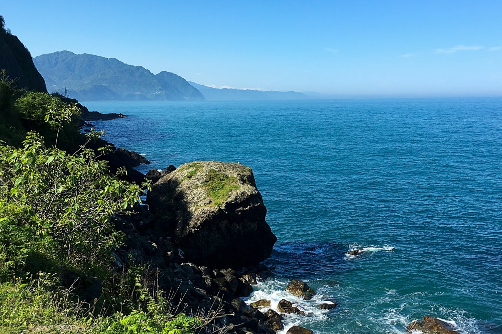
Mountains plunging into the sea provide stunning landscapes.  Places where cultures bump into each other produce fascinating history (even where they also – all too often – provoke conflict).  It’s at the edges where things are most compelling.

I’ve been in border country since the last post, although I’ve only really appreciated it today.

IMG_1598 Edit
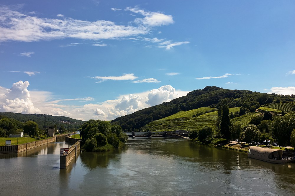
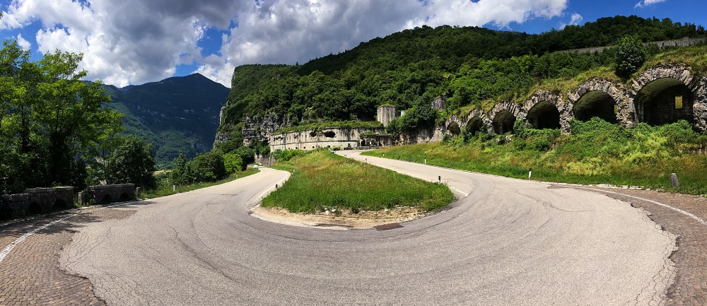
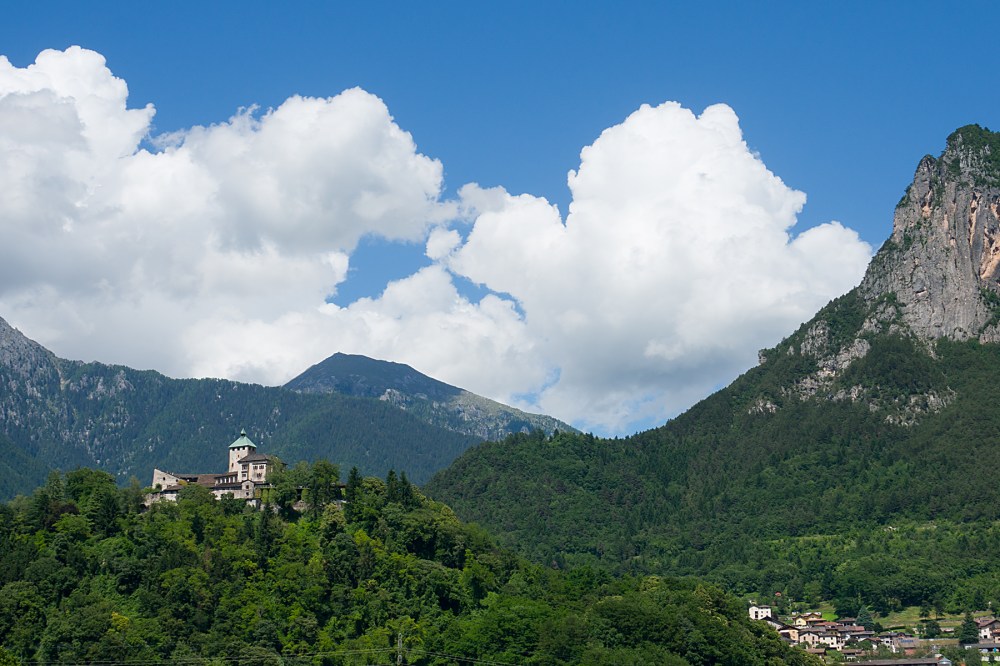
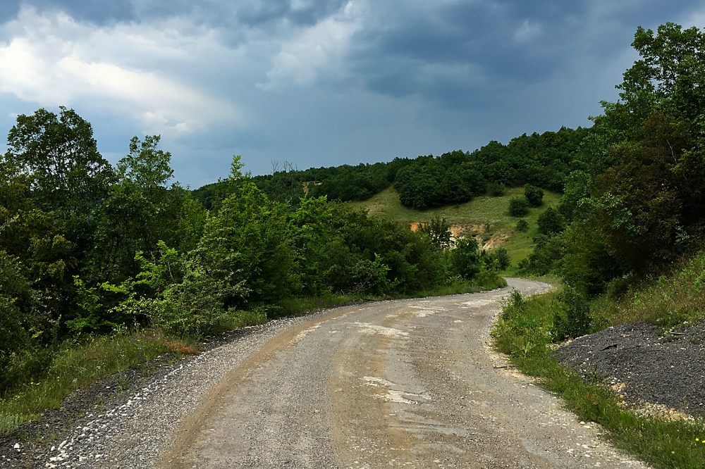
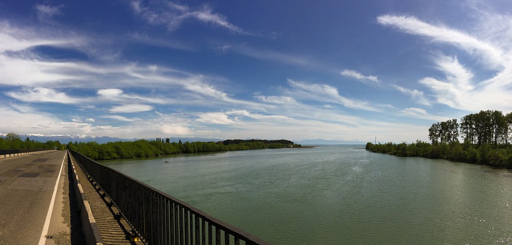
Bolu (above) was the last proper city in the hills.  Since then, it’s been small towns and smaller climbs (and some immensely fun downhills), as I’ve crossed from the mountainous interior of Turkey back towards the Sea of Marmara.

And the sea (together with the Aegean, immediately to its south, and the city of Istanbul at its northern end) has been a cultural crossroads since people started writing history.

So the borderland between the hills and the coastal areas is also the edge of a fuzzy cultural boundary.  Although I’m not in Europe yet, things are changing already.  Up in Bolu, things still felt very Asiatic, with the fairly mono-cultural cityscape of mosques, minarets and square buildings dominating.  Within a couple of hundred kilometres, things are much more cosmopolitan.

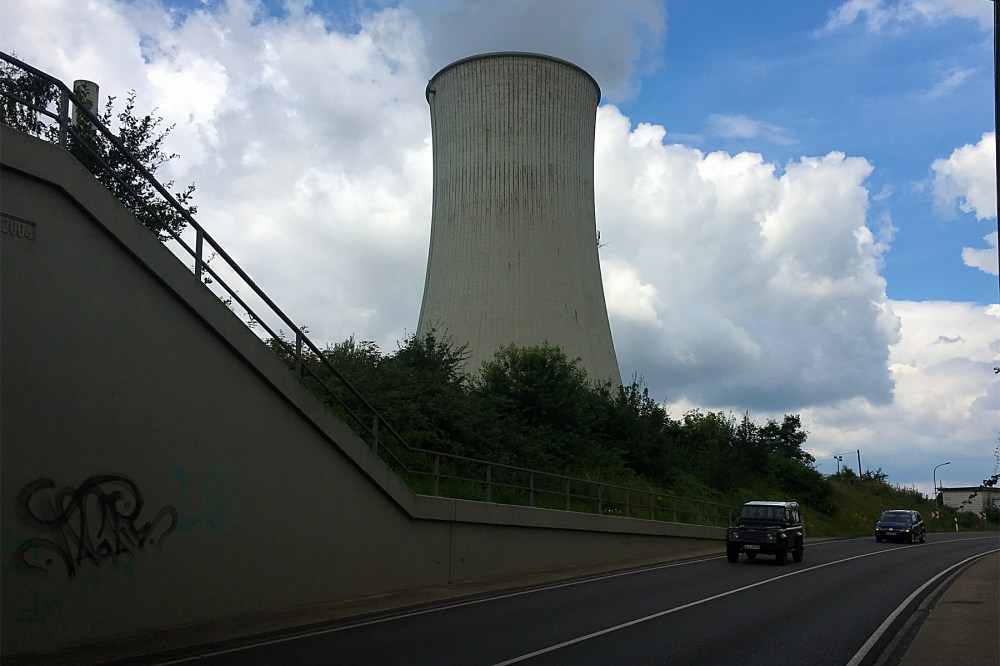
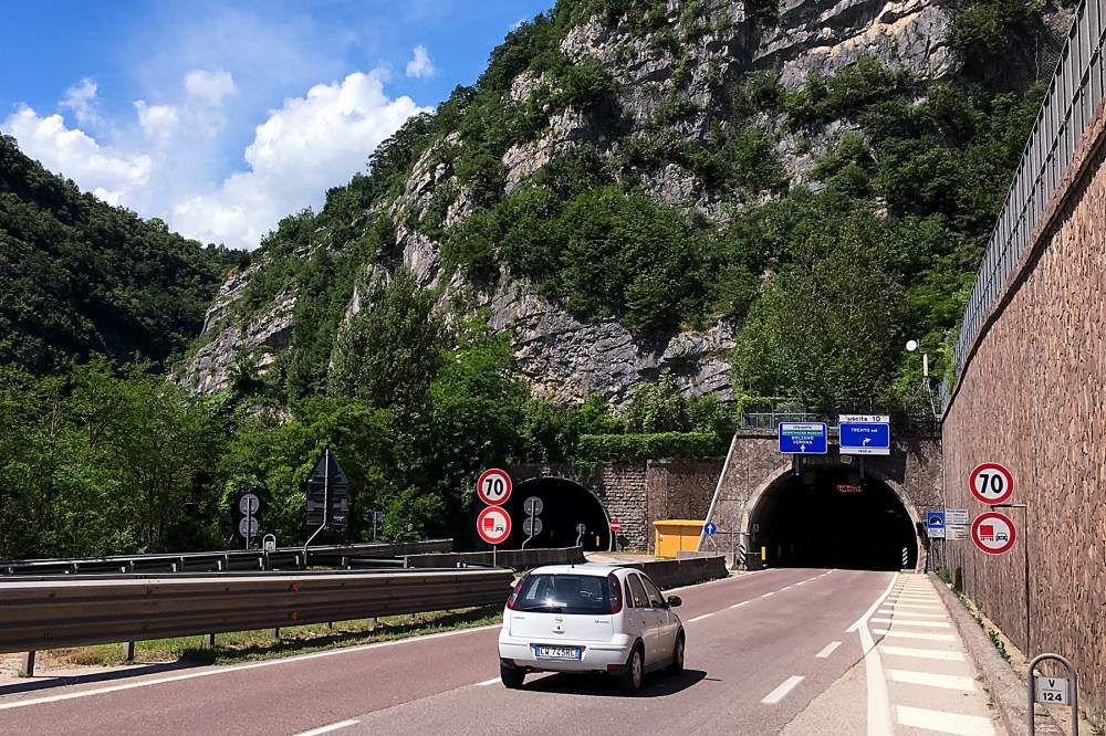
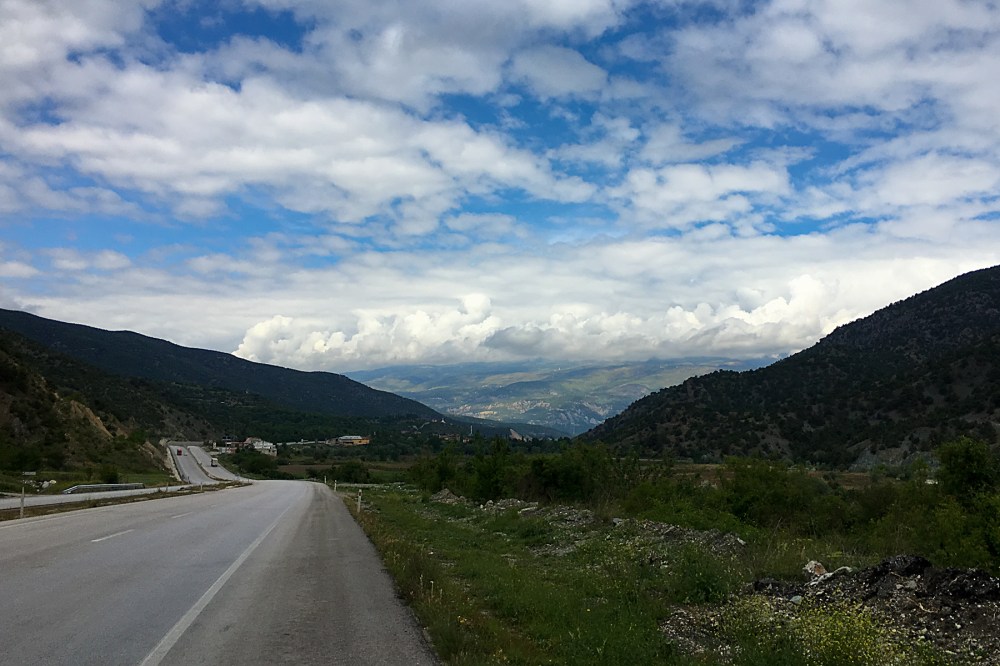
But the noticeable changes had already begun at Bolu.  Just a few kilometres east of town, my road had been joined in its valley by a motorway.

IMG_1600 Edit

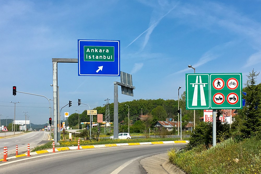
That’s not just a road with a designation beginning with ‘M’, as was the case in the former Soviet countries.  It’s a proper, European-style motorway (the main drag between Ankara and Istanbul).  The sort of road where bikes are not allowed.  It’s the first road I’ve seen for months that I can’t ride.

I know that this will be the new normal from here on (and that it’s my normal normal in any case).  But I’ve got so used to rolling along whichever road I want that it feels like a big change.  So does the fact that the chocolate bars in petrol stations have suddenly become the same as at home, where further east, they are all Turkish versions.

I think my perspective might have got a little skewed somewhere along the way…

There are still plenty of reminders that I’m not home just yet.  It’s pretty certain that a flatbed van in Europe wouldn’t be allowed on the road with a ton of apples tied loosely on the back with string.

But that appears to be what caused me a twenty minute delay this morning:

IMG_1621 Edit

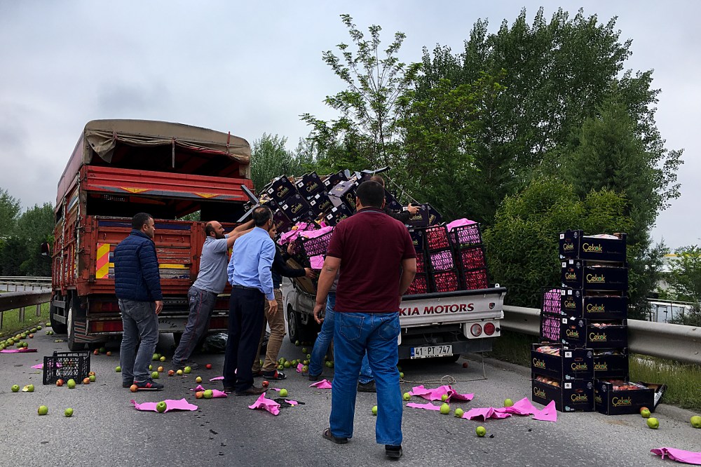
Thankfully, things got slightly more organised after the big guy in the red shirt started waving his arms and shouting.

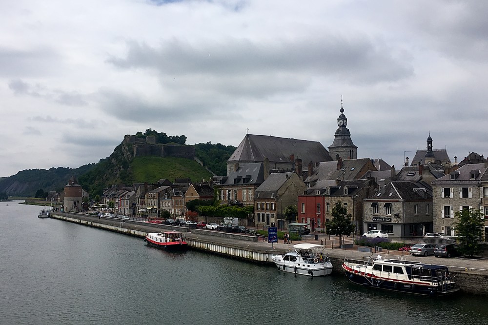
This afternoon (Tuesday), the cultural variety and complexity of this area became clearer.  I dropped down to lake Iznik.  I’d been trying to get to a town on the edge of the lake, which is marked up on Google Maps as ‘Nicaea’.  And I’d been getting increasingly concerned that I’d not seen it signposted.  I was just following signs for ‘Iznik’, and hoping that Nicaea would become obvious.

It turns out that Iznik and Nicaea are the same place.  Google uses the Greek name for some unfathomable reason.  Although that was the town’s name when it was established (by a Greek mythological character, apparently), it’s been Iznik for ever as far as the locals are concerned, and Google should probably have caught up by now.

IMG_1628 Edit
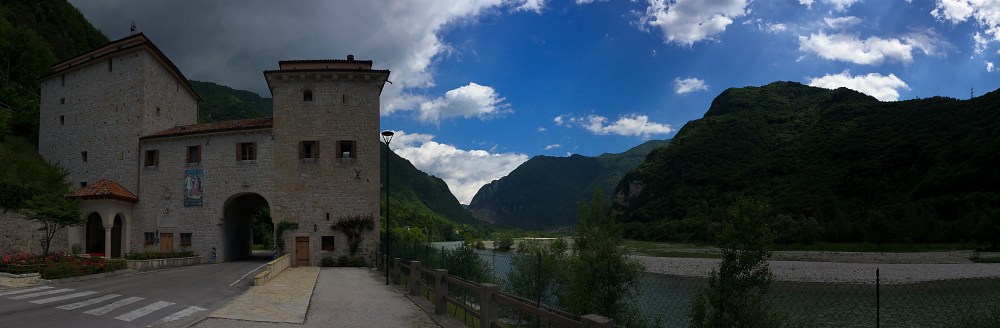
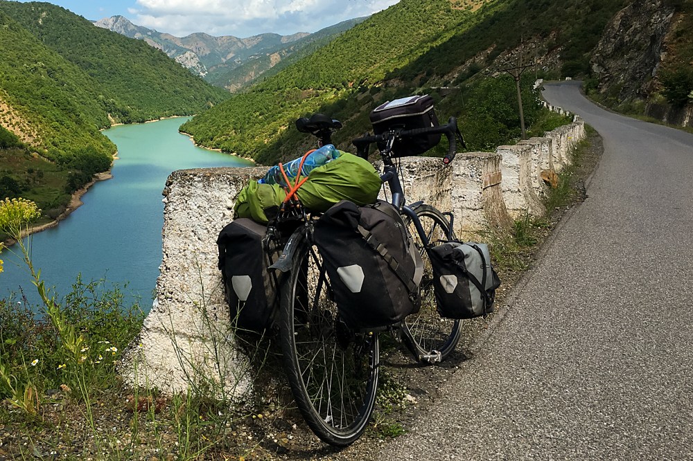
But it’s not just the names of the town that show how many cultures have had a say in this region over the full course of recorded history.  The city walls, which I casually parked the bike against on the way into town, were originally built by the Ancient Greeks.  The local tourist guide notes, sadly, that ‘only Roman and Byzantine construction remains’.  And that’s still not counting the role of this area of Turkey in the birth of the Ottoman Empire.

There’s an intimidating amount of history in this part of the world, on the edge of so may empires.

I’m going to have a day off tomorrow (Wednesday) to have a proper look around Iznik, and digest some of this stuff.  It’s only about half a mile across, but has ancient churches, mosques, Roman arches, and so on.  It even has a mosque called the Ayasofya, which used to be a church.  Just like Istanbul.  But much, much quieter.

20160510RTW_6 Edit
I’m happy I can get all the layers of history around here, as I’ve decided not to head to the metropolis on the Bosphorus.  I could probably have got to the outskirts today, and entered European Turkey tomorrow.  But I’ve been to Istanbul before, and I’m not quite done with the Asian continent just yet.  And I’ve heard a lot of nightmarish stories about the Istanbul traffic.

Instead, once I’ve had my rest, I’ll head along the south of the Sea of Marmara.  It’ll take an extra few days to get to Europe, but I should see some more interesting places, and enjoy the coastline.

There’s one other, slightly fuzzy edge which merits a quick mention (in my book, at least).  And that’s the edge of space.  This is usually considered to be the Karman Line, and is 100km (62 miles) above the surface of the Earth.

Why is the Karman Line of any interest?  Because, yesterday, while grinding up yet another incline, I reached 100,000 metres (or 100 km) of vertical gain on the round-the-world trip.  I’ve climbed to the edge of space on a bicycle with bags hanging off it.

No wonder my legs need a break…

The Cloud Tunnel

Back at altitude, and dodging showers.

It’s felt like the same day over and over for the last few.  With the honourable exception of yesterday (Friday), which I sat out, due to the entire day being nothing but one long thunderstorm.  But I was due a rest, anyway…

IMG_1584 Edit

It took a little while to arrive, but the rain comes with a vengeance in the hills.  There was already a hint of it in the air as I left Osmancik on Thursday.  But it stuck on the mountains, and didn’t do more than spit on the road as I headed gently downhill in the Red River valley (above).

The downhills haven’t lasted long, as the road’s been mainly upwards.  I’m in Cerkes this evening (Saturday), due north of Ankara, and back up at around 1000 metres altitude.  So every down has been paid for by a slightly longer up.  And the hills have got steeper as I’ve got further in.  Where the first days out from Samsun were on lovely, moderate gradients, I’ve been copping three or four 10% ramps a day on the way here.

IMG_1585 Edit

By Thursday afternoon, as I dropped down another short valley (above), the clouds were closing in at the end.  For the whole afternoon, there was at least one massive downpour lurking within a mile or two of where I was.

A man at a petrol station pointed at the sky, and performed a very entertaining and realistic mime of a wet and shivering cyclist.  I was worried he might be right.

And whenever I wasn’t moving, I was staring at the sky, trying to work out if I could outrun the nearest rain before it got to the road, or whether I should stop and wait for it to pass.

IMG_1589 Edit

If there’s an effective incentive to finish the last (uphill) few kilometres of the day, it’s seeing a bank of black clouds following you up the road (above).

But later, as this particular storm again missed the road outside, I began to wonder.  There had been showers around ever since I left Samsun, and yet I’d not got wet.  More surprisingly, the road had not even been wet when I got to places where showers had seemed to be minutes before.

Maybe the road, as well as being smooth and well-engineered, has some sort of magical rain-repelling properties?  Maybe it’s a tunnel through the clouds.

It wasn’t yesterday.  Thankfully, I’d taken notice of the forecast this time, and decided that a day off was in order.  So I lay around, stuffed myself with food, and listened to the rain battering the streets outside.

But today, it seemed to be back in full effect.  Showers everywhere except on the road, even when I watched downpours apparently cross the route just in front of me.  I was certain I was about to get soaked three or four times, and yet I finished the day dry again.  Despite a vast amount of liquid falling from the sky as I approached Cerkes this afternoon:

IMG_1594 Edit

Whether the road really does repel the rain or not, things should clear up in the next couple of days.  And, from tomorrow afternoon onwards (after one more biggish hill), I should begin dropping towards the Sea of Marmara and Istanbul.

Though, as well as pondering the weather, I’m still trying to decide whether heading to Istanbul is the best option.  It’s a great city, but I know that because I’ve been there before.  And, although the Bosphorus is by far the most famous border point between Asia and Europe, there are other options which don’t involve the dire Istanbul traffic.

With a bit of luck, the more downhill nature of the riding in the next few days, together with fewer showers, will give me the chance to think through my best route to Europe.  I’ll let you know exactly where I’m going next time.

Back Out of the (Former) USSR

The Black Sea isn’t black.

This was not exactly a massive shock.  What was quite surprising was that a day’s bike ride in Georgia can take you from snow-capped mountains to palm-lined seaside resorts so easily.  Though it might, I suppose, be trickier in the other direction.

IMG_1485 Edit

I made the most of what the weather forecast said was going to be the last day of tailwinds (on Sunday), and decided to get as close to Batumi as I could.  Before the wind decided to punish me again.  I ended up only around 30 miles short, and was rewarded by my first view of the non-black Black Sea (above).

Looks nice, doesn’t it?  Those snow-capped mountains in the background, dropping into the sea in the spring sunshine.

The short ride into Batumi on Monday was beautiful, marred only by the knowledge that it would be my last night in the country.  The last chance to stuff my face with delicious, cheap Georgian food.  And the last night for a while that I’d have a language in common with the locals.  I’m going to miss Georgia, I think.

IMG_1490 Edit

Batumi is one of Georgia’s major ports, and also a tourist resort, as well as being the last major town before the Turkish border.  The locals also seem to have developed a taste for architecture, with an impressive array of oddly-shaped towers springing up on the skyline as I approached.

The one aspect of Georgia which I won’t miss is the driving.  A bit like Thailand, they have good roads, but drivers whose skills have not caught up yet.  The massive amount of traffic cops on the roads (mostly in equally massive American police cars, for some reason) is hopefully an indicator that they’re working on it.  I had a sudden thought that I hadn’t seen a bicycle lane for thousands of miles.

A few kilometres north of the centre of Batumi, a cycle track magically appeared.  It took me all the way into town.  And then it multiplied.  The whole city is covered in bike lanes.  It was almost shocking.

IMG_1507 Edit
I had a wander around town in the afternoon, and marvelled at bike lanes zigzagging between cafes and their outside seating areas, between supermarkets and their fruit displays, and dead-ending at busy junctions.  The one above is one of the more sensible ones.  Which just stops at every road it crosses.

There doesn’t seem to be any great planning involved.  And the locals appear genuinely astonished when a bike actually uses a bike lane (which is usually for drinking coffee, walking the dog, or shopping).  But the effort is commendable.  And the major bike lanes along the seafront and the main roads are light years ahead of anything I’ve seen for months.  So, hats off to cycling city Batumi!

IMG_1511 Edit

Still, after my stroll, some seaside ice-cream, and a proper feed, it was time for bed.  And a few hours later, to cover the last ten miles of the Former Soviet section of the trip.  It’s been a great few weeks, all the way from Tashkent.  From the desert to the mountains to the seaside.  More people should come here.

The road to the border (and after the border, for that matter) hugs the shoreline, with the impressive cliffs, and more impressive snowy mountains, dropping straight to the water.  The picture below is from the last headland in Georgia (the border is in the next bay).  So the land ahead is Turkey.  It seems a little strange that the landscape it reminds me most of is New Zealand, which is a long, long way from here.

IMG_1514 Edit

Another five minute border crossing, and I was in country number 23, heading south-west along the Black Sea coast.  A coast which takes you straight to Europe.

It’s starting to feel perilously close to the end of the trip now.  Turkey’s quite familiar to many Europeans as a package holiday destination, and the local time has ticked back to within just two hours of the UK.  It begins to feel like home is just around the corner.  Despite the beautiful scenery, the sunshine, and the wide, smooth road, I was feeling a little melancholy as I trundled along.

Then I heard a muezzin calling from a minaret, and I remembered that there’s still actually a long way to go.  Turkey’s going to take a few weeks, as it’s another big country, and then there’s the huge variety of relatively tiny European countries to look forward to before home finally beckons.  No need to worry about the end just yet.

IMG_1517 Edit

I haven’t formed much of an impression of Turkey so far.  Yesterday was just the pleasant ride from the border, and I’ve cunningly spent today having a rest while the rain hammers down outside (above).  My weather anticipation is definitely getting better.

But the people have been friendly so far, even though I’m back to having significant language barriers.  Things are more expensive than anywhere I’ve been since Vietnam.  And it’s still cold when it rains, so it’s definitely not summer here yet.

I’ll find out more over the next little while.  I’m heading straight along the coast to start with, but I’m still not sure of my exact route after the first week or so.  There are three options, all of which are more-or-less the same length (though with massively different levels of climbing).

I’ll make up my mind on the way.  The Black Sea might not be black, but it is quite big.

So there’s plenty of time to work things out as I go…