england

To Anglesey, and the Covid Squeeze

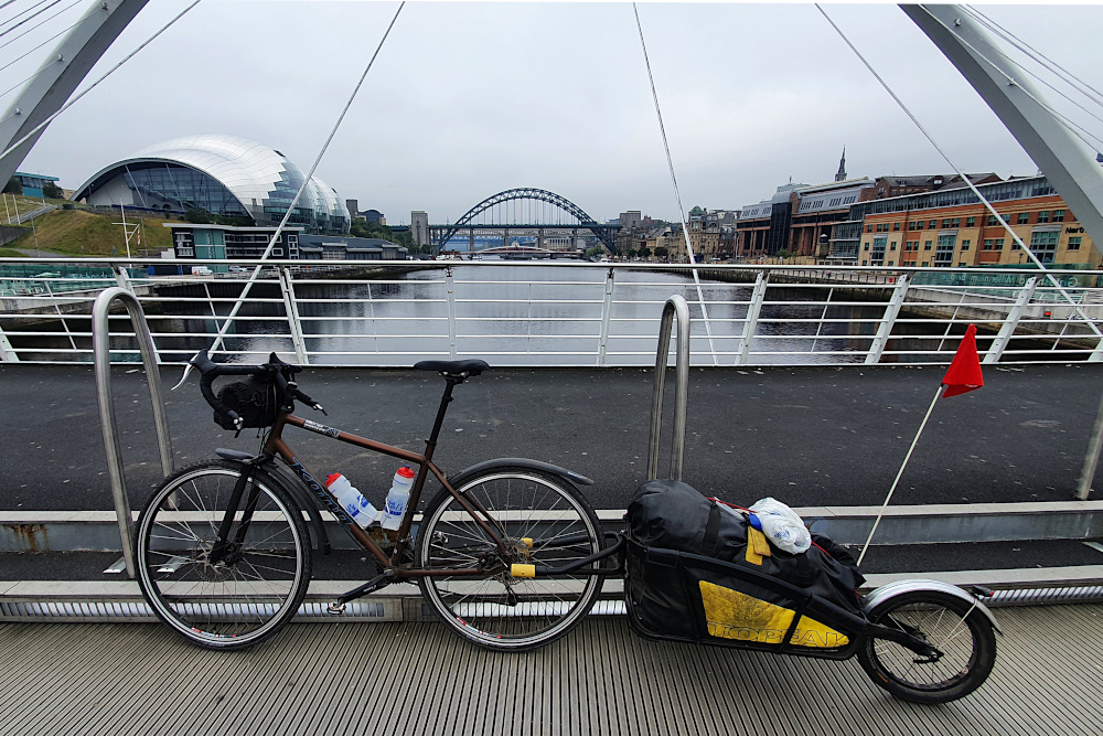
After the stunning success of pretty much every pun I’ve come up with, I’ve spent a chunk of the last few days on the bike trying to come up with a way of getting ‘it’s the angle, see’ into a sensible sentence. Having found no realistic way of doing so, I’ve decided (wisely, I think) to just leave it.

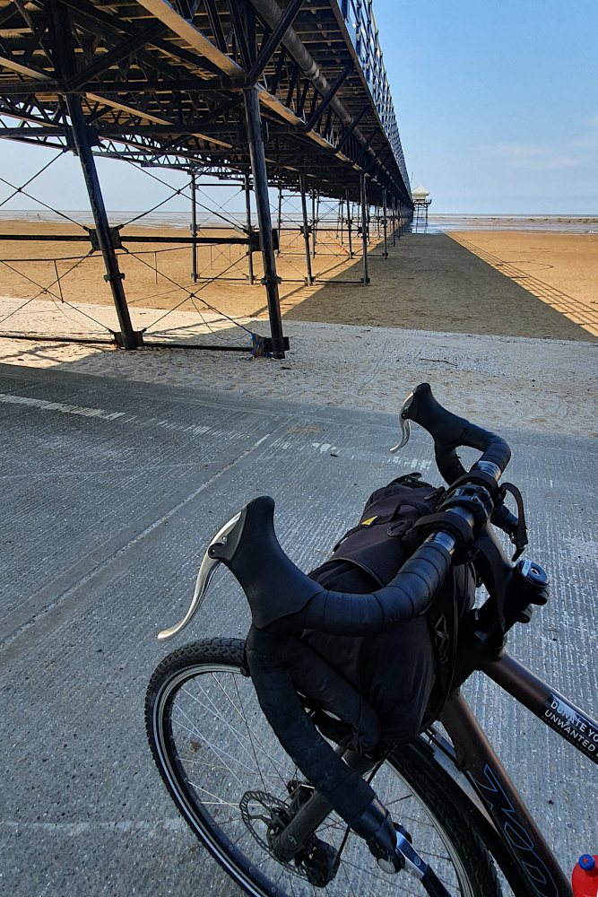
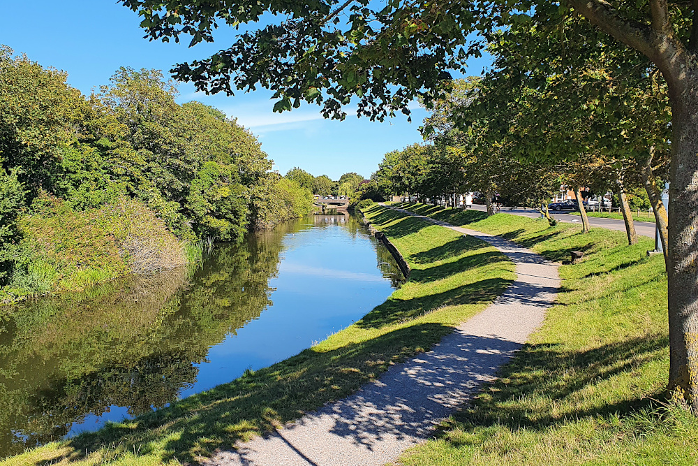
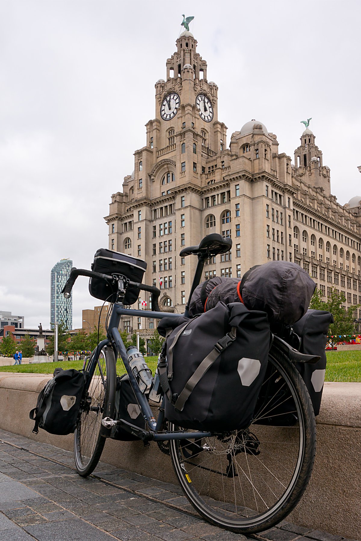
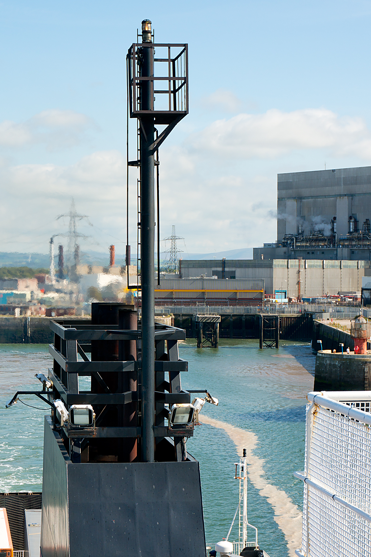
I escaped from Liverpool on the ferry ‘cross the Mersey 24 hours before they announced new Covid restrictions, along with most of the north of England. The only barrier to my departure was a significant number of sand drifts covering the sea-wall bike paths along the edge of the Wirral peninsular.

Just a couple of hours after leaving Liverpool, and fresh from a decent rail path down the west side of the peninsular, I was heading across the valley of the river Dee when I crossed into Wales (the fourth and last of the UK’s constituent bits for this trip).

I’m not sure if the nice boardwalk over the Deeside marshes (above) was in England or Wales, but being confronted by a wooden miner a few miles later (below) confirmed that I had, indeed reached the Welsh side of the border.

The north coast of Wales is a series of holiday resorts, for the most part with broad concrete sea walls to ride along. This should be both nice and quick. And the lack of traffic is nice. But the propensity of wandering pensioners to lose all sense of spatial awareness when grappling with chips or ice cream made things slow. Very slow in places. In a normal (non-Covid) summer, it must be nearly impossible to make any progress at all along the north coast.

Things change after Llandudno. The coastline tilts southwards, faces the island of Anglesey across the Menai Straits, and takes on more of the character of the mountains of Snowdonia, which are never far away.

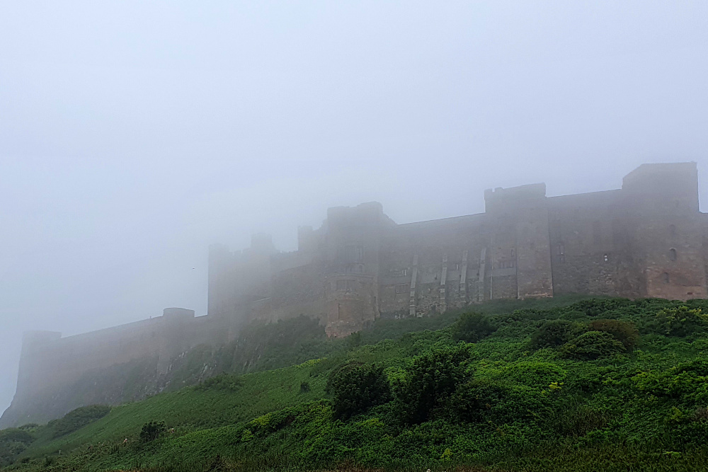
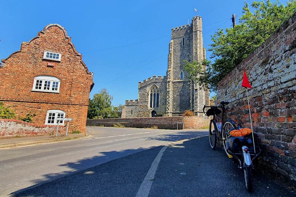
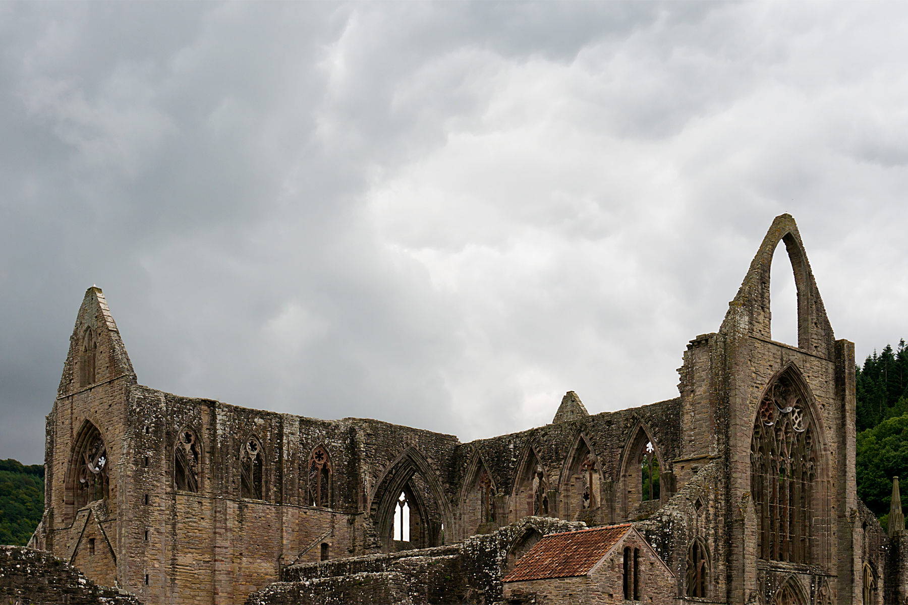
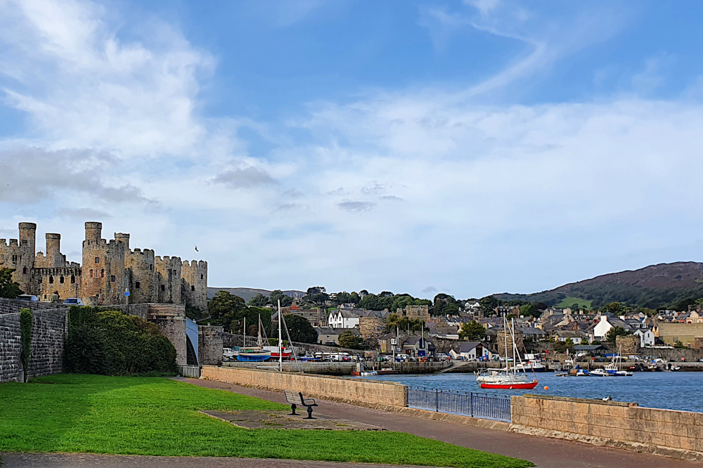
And castles begin to appear, like at Conwy (above), ringing the areas of Wales which the English found hardest to control back in medieval times. Pretty soon, it’s hard to move without stubbing your toe on another castle.

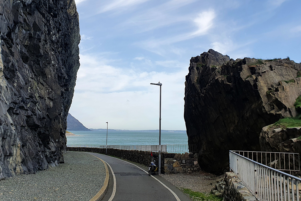
The pensioners disappear as the coastline becomes more rugged, and the route (still mostly traffic-free) becomes more spectacular. The only downside of this is that progress is a little tougher than it would be on the flat.

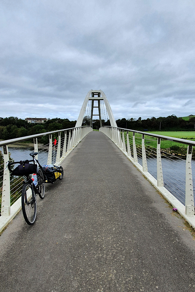
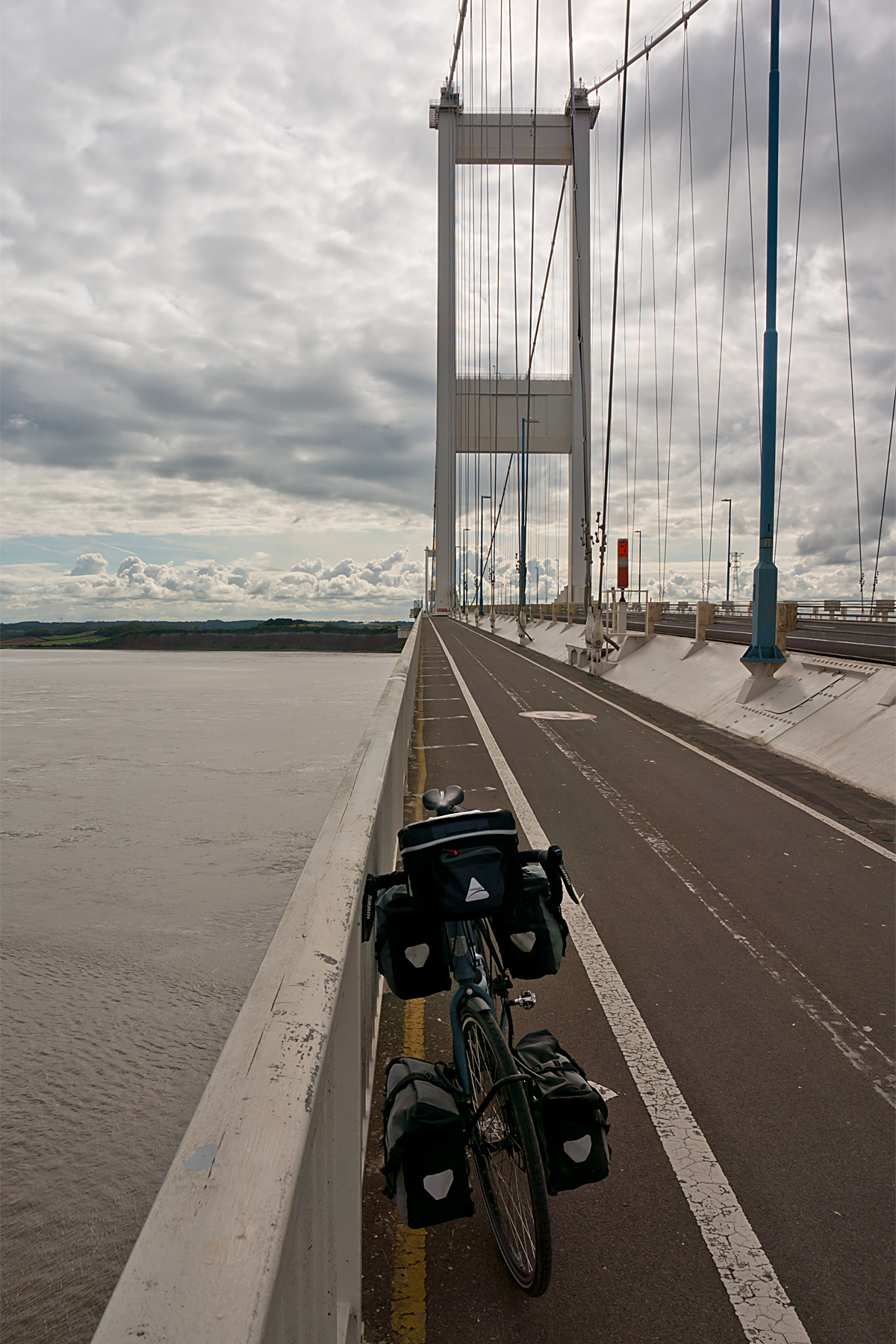
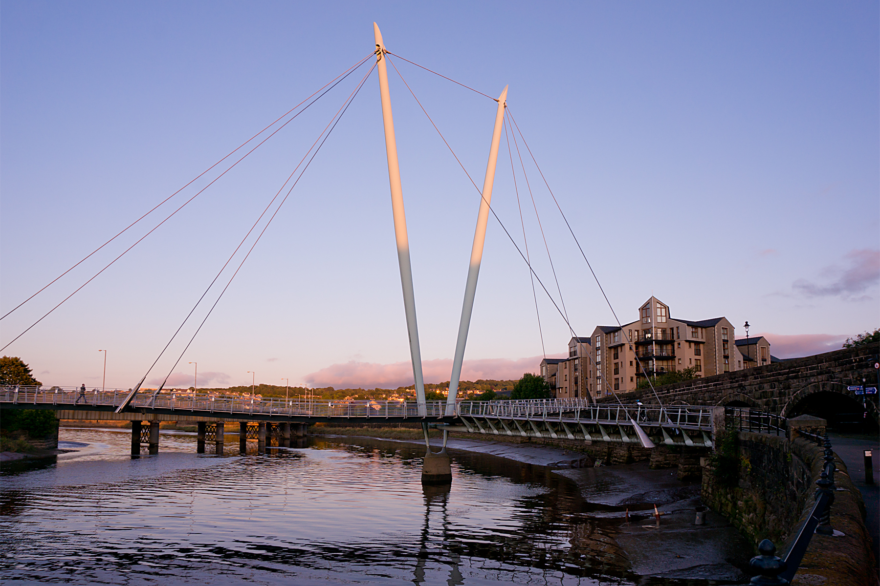
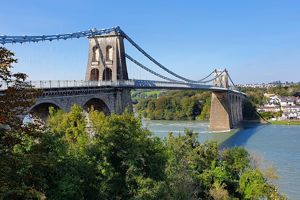
I spent most of the last two days lapping Anglesey (the second, after Northern Ireland, of my two laps-within-a-lap). Crossing the Menai Bridge (below) gives you a good view of the ferocious tidal current running between the island and the mainland.

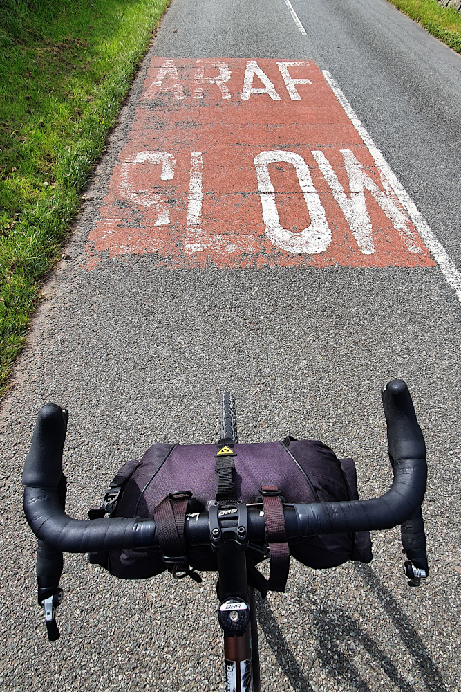
And on Anglesey, the landscape changes again. The south of the island, especially, feels a bit like being back in Devon and Cornwall, with short, but very steep climbs on tiny country lanes. It’s very pleasant, but if you don’t already know the Welsh word for ‘Slow’, you will after pottering around the island.

If you’re in a hurry, the jet fighter trainers buzzing out of RAF Valley will exacerbate any frustration at the lack of speed. I wasn’t hurrying, so it was fun to watch them zipping around in formation for a while, before trundling down to the beach at Trearddur Bay (technically on Holy Island, a sub-island of Anglesey).

Yesterday (Saturday), it was the return to the Menai Straits and the small city of Bangor. There’s been an unusual, really strong north-easterly wind for the last few days, which blew me nicely along the north coast, but was pretty fully in my face as I struggled back towards the bridge. It’s all, erm, about the angles, see?

Ha! Think I got away with that pun, after all…

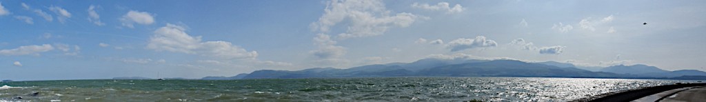
A quick stop at Beaumaris en route revealed part of another castle, but also a spectacular view back across the straits, almost all the way back to Llandudno. There’s more of that sort of landscape to come as I head south in the next few days.

That’s all assuming that the Covid situation doesn’t finally mess things up. I’ve been very lucky so far, but the last few days have seen restrictions ratchet up all over the country, and serious-sounding talk of further measures to come. Especially worrying for me is that there’s some discussion about areas of South Wales, which are on my route, and would potentially block it.

Having got so close to finishing the trip, it would be pretty gutting to be halted by Covid restrictions just a few days short of home. But it’s out of my control, so I’ll just have to keep plugging away until I can’t. Hopefully, I’ll at least get to somewhere with a direct train connection before things fall over…

Advertisement

Bright Lights, Big City. Eventually.

The Lake District is one of the most impressive areas of England, with towering (by English standards) hills dropping almost straight into the sea. Unfortunately, it took a while before the hills made themselves apparent. Everything over about 200 metres remained thoroughly shrouded in clouds until the day I left the area.

But the coast was nice. Possibly not including the waste nuclear fuel site at Sellafield, but otherwise nice. There was quite a lot of decent infrastructure, including this bike bridge at Workington:

And some crazy infrastructure, like this shared footpath / bike track bridge over an estuary a little further south:

Both these bridges are on the UK’s National Cycle Network. And while it’s nice to have a bit of variety, it gets very tricky to plan routes when the surface, size and quality of the bike path, off-road track or main road can change so much within in a few kilometres.

The weather kept some of the nicer bits of countryside hidden from me until I turned the corner, and began heading in another estuary-interrupted zig-zag along the south of the area. Monday was a beautiful day meandering along, including the bay at Grange-over-Sands (below).

Having cleared the ‘bulge’ of the Lake District, it was time to hit Lancashire and head south. The landscape changed almost immediately, with just a few smallish hills (below) as I parallelled the M6 motorway for a little while.

But I was pretty quickly into the flat lands of the Lancashire coast. I rode straight into Lancaster on the canal towpath, with suburbs below me as I followed the water. I always find it slightly bizarre when water is above the surrounding land, and was delighted to come upon this aqueduct (below), carrying the canal over the river Lune on the edge of Lancaster.

And from Lancaster, there’s barely been a bump in the road. Or, more accurately, the sea wall for much of the time. There’s been a lot of easy cruising along traffic-free sea defences, and paths through sand dunes. It’s generally been pretty relaxing.

On Tuesday, I finally got to the bright lights of Blackpool. The illuminations are already looking quite impressive, but there are lots of closed hotels. The centre, much like every other large town and city in the UK, felt eerily quiet in the evening.

Blackpool’s big time was in the late Victorian era, as a seaside resort for workers in the Industrial Revolution’s heartlands of Lancashire, Manchester and Liverpool. There’s a bunch of similar resorts, which sprang up for the same reason along this part of the coast, most of which then fell on hard times in the late 20th century as people went abroad on holiday.

You’d think that the Covid crisis this year would have resulted in a massive surge of business back to these struggling towns, and a virus boom, but there’s not a lot of evidence. After an astonishing event – my first puncture after over 3000 miles! – more easy beach cruising took me to Southport (above), which again felt half-empty, despite the sunshine.

And yesterday evening, I rolled into Liverpool, to find a host of big hotels fighting over no business. I’ve taken advantage, and popped into a major brand place right in the city centre for only £25. While this is great for me, it can’t be great for the city.

I’ll be across the Mersey on the ferry, and then on into Wales today, which is really the final leg of the trip. From where I sit in Liverpool, it’s actually only a comfy three-day ride to Bristol. It’ll take much longer going around the edge, but once Wales is done, it’s only a few miles home.

It should be ‘interesting’ – Wales is getting hit with some major Covid spikes, which may complicate things, and they still have more restrictive travel rules than most of the rest of the UK. Fingers crossed I can get around without the road getting locked down in front of me…

Solway Wiggles

I’ve ridden nearly 300 km since the last post (I had a weather-induced rest day on Friday in the middle). And yet, in a straight line, I’m only 100km from where I started in Stranraer. Yesterday’s 110 km (69 miles) only got me just over 40km (25 miles) away from my start point, after a roughly 160 degree turn in the middle of the day.

There’s no doubt that I’ve been back in the west of the UK, as the road has wiggled around headlands and through hills around the Solway Firth. I didn’t really know much about the area, as English tourists tend to either stop to the south in the Lake District, or burn straight through to Glasgow on the motorway.

More should stop, as both the coast and interior of Dumfries and Galloway are lovely.

The two pictures above are on the way from Stranraer to Whithorn. I was super happy to be following a quiet, beautiful coastline that I’d never heard of, without the recent stresses of dodging showers all day.

The coast dives in and out of various estuaries, making following it a lengthy and time consuming process. In many cases, there are towns with bridges, but these are usually a detour of several miles upstream.

So I decided to cut inland a little to get a straighter line to Dumfries. But then you hit hills. The area really has it all; although hilly, these are not massive mountains, and mostly benefit from roads engineered with moderate gradients (if a few awful road surfaces).

The inland area is as pretty and quiet as the coast. And the area is also the UK’s first ‘dark skies’ zone, so you can even have a nose at the stars without background light pollution (if you get a clear night).

Dumfries town was pleasant enough, and a day of awful weather on Friday gave me the opportunity to wash my clothes for the first time in, erm, much too long.

It’s another place with a Robert Burns connection. He was born over on the west coast in Ayrshire, but spent a lot of his later life in Dumfries. You can certainly see how being in the midst of such stunning landscapes would be inspiring for a writer.

I wasn’t expecting an encounter with Devil’s Porridge on the way to the English border yesterday (Saturday). In the modern world, I’d imagine some sort of weird, spicy breakfast cereal. But it turns out that it was actually the explosive cordite.

As well as being the Scottish centre for eloping English couples to get married, Gretna was also the location of the biggest factory in the world during the First World War, turning out delightful explosive material to help everyone out in the trenches. There’s a little museum there now, just a couple of miles short of the border.

Crossing the border back into England brought with it the feeling that the trip is coming towards the end. That’s still a while off, as there’s still a large chunk of the English North West to get round (I’m starting in Maryport, above, on the Cumbrian coast this morning), as well as the whole of Wales. But I do feel sad to have left Scotland behind for this trip; it’s been great.

Those pesky local lockdowns haven’t yet impinged on my route, but there are more of them every few days. Liverpool and South Wales are probably the ones I need to keep the closest eye on. But for today, it’s more of the standard bike touring issues – near storm force headwinds, and those west coast wiggles. I’d better get cracking, as it’s not going to be quick today…

Scotch Mist

There’s a cliché or two about the weather in Scotland. I’d hate to be one to perpetuate any such stereotypes.

And, in fairness, the drizzle’s only really been an issue in the mornings, and it did start just before I got into Scotland. But it was definitely there, and it’s definitely wetter than mist – I’ve been fairly thoroughly soaked a couple of times.

20200812 1 Edit

Newcastle was as easy to bike out of as it was to get into. Under grey skies for the first time in ages, but scooting peacefully along an off-road bike track to the end of Hadrian’s Wall (helpfully located in the imaginatively-named suburb of Wallsend).

Hadrian’s Wall is often assumed by southerners to be the border between England and Scotland. In fact, there’s an awful lot of England remaining on the eastern side of the country; the border is considerably further from Newcastle than it is from Edinburgh.

20200812 4 Edit

The coast to the north begins in a civilised way; seaside resorts and small ports. But it quickly becomes wilder and more remote as you push on towards border country. The area was contested for hundreds of years. Vikings attacking monasteries, English attacking Scots, Scots attacking English etc, etc, etc.

20200813 2 Edit

As a result, Northumbria is sprinkled with castles, including Bamburgh (above), which look all the more menacing as the fog rolls in from the sea. And the marshes and sands of the remote shore provided a perfect retreat for ancient monks, most famously at Lindisfarne, which requires a causeway to access. The downside of this landscape is that the National Cycle Route 1, which I’ve been trusting on-and-off since Kent as a fairly quick, efficient route, is literally reduced to a sheep track in places.

20200813 5 Edit

And all of this before you even get to Scotland. The last stop is the fortified town of Berwick-upon-Tweed, which has changed hands many times, but currently sits a few miles inside England. Although the local football team plays in the Scottish league, as some sort of bizarre consolation prize.

20200813 7 Edit

I hit the border in the drizzle shortly after leaving Berwick on Friday morning, and soon after ended up in the clouds (the clouds were very low, rather than me doing loads of climbing). The first impressions of Scotland were, well, foggy.

20200814 2 Edit

Thankfully, it’s still August, even all the way up here, so the sun is strong even when you can’t see it, and the dampness seems to be burning off in the afternoons. The run into Edinburgh even came with a tailwind, which was an unexpected little bonus. As was another city with great, well signposted and well used cycle routes.

I even had the chance for a quick wander around Princes Street in the evening, and have a distant look at the castle, which was looking lovely in the evening sunshine.

20200814 8 Edit

Yesterday (Saturday), it was time to head further north. To get north from Edinburgh, you need to cross the Firth of Forth, a huge estuary which almost cuts the country in half. In the olden days, there was a ferry. Then, back in the 19th century, the iconic rail bridge (below) was built.

20200815 1 Edit

It’s now been joined by two road bridges; one from the 20th century (which is the one used to cross by bike), and a new, 21st century crossing. It’s very impressive to see three kilometre-plus long bridges from three different centuries all right next to each other.

Going forwards, there seems to be some heavy rain in the forecast, which may force a day or two off in the next week. It seems hard to believe, as I’ve not had a weather-enforced day off since the south coast of England.

I have, of course, got wet a couple of times. But that was just the Scotch mist – it doesn’t count at all…

Edges, ‘Edges, a Parmo and an Angel – Long Miles To the North East

The wind had flipped around as I left Boston on Saturday. It was a bit unfortunate to have a headwind to deal with for the first time since the south west. But also amazing that I’d not had a headwind to deal with since the south west.

Lincolnshire is still largely flat lands, following on seamlessly from East Anglia. And, as I followed the canalised River Witham northwards, progress got easier or harder every time it slightly changed direction, as my angle to the wind altered.

20200808 2 Edit

You could argue that I cheated ever so slightly by trimming the edge off Lincolnshire. Being Saturday, I thought it was probably better to avoid the hordes of potentially Covid-infested day-trippers at the big seaside resorts on the coast, so cut inland along the river instead. Or maybe this is just an excuse for avoiding the worst of the headwinds along the coast.

In any case, I was doing a quick roadside map check, when an elderly chap on a light touring bike screeched to a halt next to me (he really needs to replace his brake pads). The encounter didn’t last long, as I was treated to a high-speed monologue ranging from my trailer to his £1000 Rohloff hub, to his planned ride for the day, and where he was going to have lunch.

This was where I realised that I’d definitely entered the North of England. I’d been vaguely thinking about the edges of the country. He was worried about edges too, or at least that I wasn’t going to be getting much shelter from the wind up on the riverbank. There weren’t any ‘edges there, though there were on the ‘ills, where he was heading.

It took me a while after he’d gone to realise that he was talking about hedges. I’ve not heard very many aitches since.

20200809 1 Edit

Crossing the Humber Estuary on the huge suspension bridge removes (I think) any doubt as to whether you’ve left the midlands behind.

Since the Humber, it’s mainly been old railway lines (first from Hull to the coast, then the Cinder Track from Scarborough to Whitby) and hills. Mostly not the nicely surfaced, commuter-friendly sort of rail paths that I’m used to in the South, but the sort of dusty, rough, rocky paths that keep your speed frustratingly low, and would probably break a road bike in half. On the plus side, like most railway paths, they were surrounded by ‘edges, so the headwind stopped being a major problem.

20200810 2 Edit

The Cinder Track, in particular, put me back right on the edge of land and sea. It’s a beautiful route, including some lovely views, like Robin Hood’s Bay (below).

20200810 3 Edit

Though I’d give yourself a day for it rather than the half day I pushed through it in. The drop into the bay was a rutted, bumpy test of both me and the trailer; we both passed, just, though with the front wheel sliding around in a somewhat alarming manner. And the track was hard enough going that it didn’t set me up well for the rest of the afternoon.

Which was unfortunate, as I needed to cross the North York Moors National Park. This is a beautiful place, and somewhere I’m very familiar with, as it’s where my Dad’s family came from. So I knew what was coming; stunning countryside, but with ups and downs as steep and frequent as Cornwall.

20200810 8 Edit

It didn’t especially help that I’d gone a bit too deep on the Cinder Track. But it also didn’t help that the National Cycle Route planners had seen fit to drop a couple of miles of very rough, very steep gravel into the mix, just when I thought I’d got through the tough parts.

20200810 9 Edit

It looks a little like the ‘White Roads’ of Italy, where the pro road racers take in sections of gravel road. But once again, it’s steep, and pitted, and the gravel is a bit too big to actually ride on. It was a beautiful end to the day, but I really need to learn to take things easier sometimes. I should be old enough to know when I’m biting off more than I can chew by now.

Dropping off the Moors into the flatter lands around Middlesbrough puts you right in line for one of the UK’s biggest calorie injections; the Teesside Parmo. I was immediately biting off more than I could chew again. A Parmo is effectively a deep-fried double chicken-breast schnitzel, knee-deep in bechamel sauce and melted cheese. They’ve been clocked at over 2000 calories each, including the chips. That’s a day’s worth of energy on one plate; not normally advisable, but just the thing to fill the tank of a touring cyclist who’d slightly overdone things.

20200811 3 Edit

And so, rather than being completely destroyed on Tuesday morning, I was ready to press on northwards. After negotiating Middlesbrough and Stockton-on-Tees, is was another old railway line that took me into County Durham. Although not sealed, the surface was smooth, and the progress quick. I wonder why some railway path builders can make them smooth, and others can’t?

After the railway line, I was already approaching Gateshead, and then Newcastle. After wiggling through a bunch of small mining and industrial towns, a short climb led me to the symbol of the region; the Angel of the North, standing guard over the main road into Tyne valley.

20200811 4 Edit

And then, an unexpected delight. You never hear about this region in discussions about cycling infrastructure in the UK.

But, for the very first time on this trip, I rolled through Gateshead, and across the river into Newcastle on well-signposted, smooth cycle tracks. I just followed large, clear signs through cycle-specific traffic lights, along clearly demarcated, wide shared paths, and segregated bike tracks. No frustrating map checks, no close passes, no conflict with pedestrians. Someone has actually designed this properly.

With the posssible exception of London, I’ve never seen a UK city which is easier to navigate by bike than Newcastle / Gateshead. It should be embarrassing for so many other cities and towns that I’ve been through, which still seem not to get it, but it’s great to know that at least one city region is doing bike infrastructure properly. I wonder why some councils can do it properly and most can’t?

The South Coast is All Wight

Apologies for the laboured pun in the title – I should have done better.

Those last two words have been rattling annoyingly around my skull ever since I hit the island in question on Tuesday, and I’m disappointed that I’ve not managed to come up with a better heading in all that time…

After the rain in Bournemouth, Tuesday saw me released along the flat, straight sections of the South Coast of England, with a super tailwind meaning the miles could finally start piling up properly. Three days was all it took to polish off most of the Channel, before turning another corner in Kent.

20200728 1 Edit

The Isle of Wight is England’s biggest island, which isn’t really saying that much. However, there are several interesting things about it. It was one of Queen Victoria’s favourite haunts. It has one of the few remaining red squirrel populations in England. It’s often full of sailors. And it was the test bed for the abortive UK Government Covid App (whatever happened to that?).

For me, the main attraction was that, despite involving two ferries, the Isle of Wight provided the quickest route into the fast, flat-ish (if you ignore the odd cliff!) sections of the south coast. Although the riding has been easier and faster, it’s been a few days with some odd contrasts.

I’ve seen both the best (on the Isle of Wight) and the worst (Kent – inexcusably bad) road surfaces of the trip so far. And the traffic has ranged from negligible (again on the island) to traffic jams on the cliffs as I pushed properly into the South East from Brighton.

20200729 2 Edit_141226

The other strange contrast is a Covid-related one. While most people are managing to keep a reasonably level head about the crisis, there are a lot more exceptions than I expected. Some people don’t trust the government because they think we’re all going to die, and some don’t trust the government because they think the whole Covid thing is some sort of scam to persuade us all to get microchipped.

And you see this weird bipolar split in the old seaside resorts of the English Channel and Kent. Today (Friday) was the hottest day of the year, and saw roads blocked, traffic jams all over the place, and people happily squeezing themselves into three square feet of beach.

20200729 7 Edit_184735

But I spent Monday night in Bournemouth, Wednesday night in Eastbourne, and Thursday in Folkestone (all major Victorian resorts). And when the evening comes, those towns are suddenly dead; complete with hotel rooms in the big hotels going for less than a campsite in places. Yes, some of the pubs are open, but everything else is shut up tight, and there’s a very peculiar, almost deserted feel.

It makes it look like the country’s not bothered about the virus during the day, but terrified and hiding at home in the evenings. Odd, odd, odd…

20200730 8 Edit

The south coast is also England’s invasion corner, where most attempts to take the country over by force have been focused. William the Conqueror launched his successful takeover bid around Hastings, and I spent a little time riding alongside the Royal Military Canal, which formed part of the unused defensive lines against Napoleon, before being re-fortified in case Hitler managed to make it across the Channel.

20200731 2 Edit

The reason he didn’t was the Battle of Britain, and a long drag up onto the clifftops above Folkestone takes you to the memorial (above).

After Folkestone, it was time to turn the corner out of the Channel, and into the North Sea. The coast was rammed (it was daytime, after all), but the country lanes were much quieter a little inland, and provided a bit of shade from the hottest day of 2020.

20200731 5 Edit

Next, it’s the fringes of London. Things will get a little slower, as there are some (socially-distanced) meet ups to do with people I’ve not seen for a while. Given the abnormally good weather, I’m hoping to drop in a couple of half-days, rather than taking another full day off just yet. I know, this being the UK, that I’ll hit a bad patch at some point, so I want to keep moving for now.

Hopefully, I’ll be able to get away towards the north before any more interruptions…

***NOTE – not sure how clear this was before, but the map and stats for this ride are now working properly, and can be found under the ‘The Rides’ tab***

Kernow

Legs get stronger with time. And with tailwinds.

The pain of the first few days of this ride is fading into memory. Dots are advancing on the map (you can find it via the ‘Rides’ tab above). And the weather’s been very kind. Progress is being made.

20200719 2 Edit

The climbing still goes on, but that’s the nature of a rocky coastline. Amazingly, I’ve already climbed 70% of the height of Everest on this trip in just over 300 miles / 500 km. Thankfully, it should only be another few days before I hit the flatter parts of the south coast, although it’ll stay tough for a while.

The rocky coast gave rise to Cornwall’s big industry of previous times. The landscape is dotted with old tin mines and the engine houses which kept them pumped out. Many of these are ruins now, although I found this one, which has been converted into a holiday cottage.

20200719 3 Edit

The other thing that Cornwall is famous for is its tourist towns. It’s an odd situation at the moment, with many places operating under capacity, and many non-tourist towns still feeling very quiet. Meanwhile, tourist areas like St Ives (below) feel almost normal – though presumably with less traffic.

20200720 1 Edit

I say ‘presumably’ less traffic, because there is still loads of it. One of the features of Cornwall is that there are not many direct routes. It’s a skinny peninsular, which obviously gets skinnier towards the tip, so there’s not a lot of space for major roads. So all the big roads are pretty rammed. And driving standards are a little heart-in-mouth at times due to some very inappropriate overtaking tactics. The only option is the tiny country lanes, which are beautiful, but incredibly slow to ride, due to the endless hills, endless potholes, and the occasional need to wait for tiny ferries across rivers (don’t forget your face mask if you want avoid long rides around estuaries this year!).

20200721 1 Edit

But, if you can take your time, and avoid the main roads, Cornwall’s a lovely place to be in the summer sunshine. The only exception so far is Lands End, which has been turned from a fairly insignificant headland into a bizarre cliffside theme park. I was pretty happy that getting to the signpost indicating the end of the country was not a big issue for me. But I’d be quite upset if I’d done the length of Great Britain as a lifetime challenge, or charity ride, only to have to pay to finish. I skipped the theme park, and just completed the turn that the finish of the road dictates. There’s no more south west on the mainland.

20200721 2 Edit

For me, Lands End was just a corner to turn; the first major change in direction. It’s taken me out of the Atlantic, and into the English Channel, which I’ll now follow up to Kent. There’s just half a chance that the wind might be about to turn again to assist, but that’s surely in the realms of fantasy cycling…

The Covid Tour 2020

March 17th 2020. It’s St Patrick’s Day, but the pubs are quiet. A British Airways flight fails to take off from Heathrow airport en route to Buenos Aires. And fails to fly me out to start another big ride.

South America had been bugging me since I went straight from the US to New Zealand in 2014, instead of heading south. I’ve still never been, and was really looking forward to finally getting back on the intercontinental road, heading north on a bike from Ushuaia for as long as the money lasted.

The cash had been gathered, the flight booked, the bike built from the spokes up, and a trailer acquired to better deal with the long sections of gravel roads. I hadn’t actually packed, because there were already rumblings that the pandemic was about to ruin my plans. But leaving drinks had been drunk. And then, two hours after the drinks finished, Argentina closed its borders due to coronavirus. Followed by pretty much everyone else. South America would have to wait. Indefinitely.

20200714 Trip 1

With a degree of understatement, I’d have to admit that was all a little frustrating. On the other hand, given what’s been going on around the world since March, it could also have been a lot worse…

July 14th 2020. Covid World. The UK-wide lockdown is currently being lifted gradually and patchily. Most of the nation’s yearly quota of decent weather has already been used up. The Colston statue has been dunked and removed from Bristol harbour. And we’re on the brink of the biggest recession since I was a kid (or maybe bigger than that – who knows?). So it seems like the perfect time (really?!?) to take the bike, the kit and the frustration out on the road. Wales just half-opened its campsites, England’s pubs have been back for a couple of weeks with no obvious disasters (yet). Scotland are doing their own thing, and Northern Ireland too.

So let’s see if it’s still possible / sensible / advisable to lap the UK on a bike in 2020. Whether local lockdowns, or Scottish quarantines, or track and trace will scupper things. And if my legs have still got anything left in them (as seems to happen constantly, there are a few more miles on the clock than the last time I put thousands of kms together in a row).

20200716 Trip 5

There will be maps and so on later. I’m already late on the first post, as I’ve just woken up on Day 5, which should see me into Cornwall, providing I can dodge the tractors for a few more miles. So this is just a brief catch-up for now, until I can get enough electricity and time to do a proper job.

I’m heading anti-clockwise from Bristol. I wanted to go clockwise, kicking off with Wales, but the various Covid unlocking speeds have dictated the anti-clockwise circuit. It’s going to be something like 6000-ish km (4000-ish miles), assuming that neither the country, bike, the cash, or myself have a massive breakdown before that. And it’ll take in all four of the UK’s current constituent pieces. It should be interesting. But there are an awful lot of variables and potential things to go wrong…

20200716 Trip 7

The anticlockwise circuit is painful from the outset. As most people who’ve ridden long distances in the UK will know, the South West of England is pretty much the hardest bit. You can avoid hills everywhere else, or at least find a road with a sensible gradient. In the South West, it’s a constant battle with 10%+ gradients. And if you want to avoid them, you get 20%, or 25% instead. These are pretty inhuman gradients on a carbon road bike, let alone on a three-wheeled, 40kg touring rig. I wanted to get plenty of miles in my legs before facing this lot. Instead, it’s been pretty brutal from day two onwards so far.

On the other hand, the weather’s been decent until now, the views are spectacular, and there have been some nice breaks from the pain of winching uphill. As I pedalled up the Tarka Trail, an old railway line heading inland from Barnstaple yesterday, the sun was out, the route was flat for a few miles, and I remembered why I got into this bike touring lark in the first place.

20200717 Trip 11

I’m behind schedule (of course), and it seems to have rained twelve hours early this morning, so the weather’s back to standard English unpredictability. Cornwall is only a few miles down the road, so I’d best get cracking. More to come soon, hopefully!

By the way, I’ve spent a lot of time at The Bristol Bike Project since I got home in 2016. Times are tough for many social enterprises and charities at the moment, but please have a look at their website, and consider dropping them a few quid at a difficult time if you can.

Touring the UK – Map and Stats

After hurtling (relatively speaking) back to Bristol from the top of Shetland in a mere 30 hours, by bike, ferry, train, and bike again, I’ve had a few days off to relax.

And now’s the chance to get a bit of reflection in on the UK tour, before planning begins in earnest for resuming the round-the-world trip in a couple of months (that’s looking like early December now, by the way).  From the Isles of Scilly to Shetland, it was a fair ride, with loads to think about along the way.

20150904RTW_1

I’ll put up a full post-mortem on what went well, what I’d have done differently, and so on, fairly shortly.  It’s also just possible that I’ll finally get around to updating the rest of the pages here to more accurately reflect what’s actually been going on for the last six months or so.

But for now, this is just the bare-bones summary (via a map and some statistics) of my little tour of the length of the UK.

MAP:

Hopefully, the Google maps gremlins of a few weeks ago have given themselves some time off.  This should show the route I took.  The markers show mainly overnight stops, with a few extras to clarify direction or ferry ports etc.

If Google (or even I) have once again failed to deliver any useful information on the map, you’ll just have to imagine it.

And every map needs some statistics to go with it.

STATS:

NB – these are all Bristol to Bristol (i.e. including travel to and from the start and finish of the ride).

Measurements:

Total Cycling Distance – 1814 km / 1127 miles
Total Ascent – 11231 m / 36838 ft (1.27 times the height of Mount Everest)
Overall Toughness Index – 61.91 (100 = Really Tough with bags on)
Toughest Area – Devon and Cornwall (SW England) – Average TI 85.66

Days:

Total Days (Bristol to Bristol) – 28
Full Riding Days – 19
Average Full Riding Day Mileage – 90 km / 56 miles
Rest, Short Ride and Travel Days – 9
Wet days – 2 (which is really quite remarkable for the UK)

20150907RTW_18

Geography and Transport:

Countries Ridden – 1 – the United Kingdom.  Or:
Countries Ridden – 4 – England, Wales, Northern Ireland, Scotland.  And:
British Crown Dependencies Ridden – 1 – Isle of Man
Islands Ridden – 11 – St Mary’s, Great Britain, Isle of Man, Ireland, South Ronaldsay / Burray, Glims Holm, Lamb Holm, Mainland (Orkney), Mainland (Shetland), Yell, Unst
Ferries – 12
Approximate Hours on Ferries – 28
Trains – 2
Approximate Hours on Trains – 14 (a tad longer than flying from London to Singapore)

IMG_0524

Diversity:

Issuers of UK pound-denominated banknotes spotted – 7 – Bank of England, Isle of Man Government, Bank of Ireland, Ulster Bank, Clydesdale Bank, Bank of Scotland, Royal Bank of Scotland (I missed out on the full set; First Trust, and Danske Bank notes – bizarrely, the Danes can apparently print pounds – eluded me in Northern Ireland)

Indigenous Languages Encountered – 6 to 9, depending on what’s a language and what’s a dialect – English, Cornish, Welsh, Manx, Irish Gaelic, Scots, Scots Gaelic, Orcadian, Shetlandic (Orcadian and Shetlandic are basically Scots mixed with Norn, an extinct Norse language)

IMG_0552

Miscellaneous:

Unfortunate Encounters with Trucks – 0
Near Misses with Traffic – 0
General Traffic Behaviour – Good
Dreadful road surfaces – Several, but Ayr (and the towns around it) stood out as actively dangerous to cyclists
Near-Catastrophic Skids due to Sheep Droppings – 1
Canine Confrontations – 1 (not serious)
Illness – just the explosive fish incident in Cornwall
Punctures – 0
Mechanical Problems – 0
Days cut short due to pain / discomfort from Thai accident damage – 1
Ibuprofen capsules taken – 32
Memorials to Russian Warships passed – 1 (and, yes, that’s specifically a memorial for the ship, not the people on it)

IMG_0527

Well, that’s the outline.  As I said above, I’ll post some more detailed thoughts on the ride later.  Those are likely to be fairly positive, due to the lack of any major disasters.  For now, I’ll just point out my clear preference for surface transport over planes.  As I left the Shetlands on the overnight ferry to Aberdeen, I was reminded how getting on a boat to go overseas really feels like travelling.  Far preferable to getting in a little metal tube to pop effortlessly from one concrete-and-glass terminal to another.

20150923RTW_9

And the view’s a little better too…

Border Country

UK Tour Stage 2 (Bristol to Heysham, Lancashire):
Cycling Distance – 385 km / 239 miles
Ascent – 1949m / 6393 ft (0.22 times the height of Mount Everest)
Toughness Index – 50.66 (100 = Really Tough)

Total UK Tour Cycling Distance – 725 km / 450 miles
Total UK Tour Ascent – 4861m / 15944 ft (0.55 Everests)

Borders are funny things.

Funny in the sense of ‘peculiar’.  And sometimes funny in the sense of ‘not funny at all’.

They’re just (usually squiggly) lines on a map.  Artificial, squiggly lines, by and large.  Created almost at random, by geography, by prehistoric tribal areas, by war, by shifting royal alliances, or by the straight, ruled lines of an administrator’s pen.  There’s often no good reason why they cut through one field, rather than the one next door.  And there’s usually no significant difference between the people on one side and the people on the other.

But then we, our governments, and our media define ourselves against (and it’s pretty much always against) the people on the other side of the imaginary line.  We are good.  ‘They’ are bad.  Our religion is right.  ‘Theirs’ is wrong.  We go overseas to work.  ‘They’ come here to steal our jobs.  We retire abroad.  ‘They’ sponge off our healthcare system.  ‘They’ need to be controlled, or we’ll be ‘swamped’ by a ‘swarm’.

So we build the borders higher, and wonder why desperate people turn to smugglers to help them escape from death or persecution.  ‘They’ must be stupid, too, mustn’t they?  And we scratch our heads in puzzlement, and watch ‘them’ die against our fences.  For years.

Until a picture of a dead child on a Turkish beach reminds us that ‘they’ might be people, just like us, after all.  I wonder how long that little glimmer of truth will last…

As you can probably tell, riding long distances on a bike can give you a bit too much time to think.

20150904RTW_6
Thankfully, the border I was concerned with as I rolled out of Bristol was the border between England and Wales.  It’s been around pretty much since the Romans left Britain, which is quite a while.  The Anglo-Saxons, the English and the Welsh have all fortified chunks of it over the years.  And its history is just as messy as any other border.  Hundreds of years of keeping ‘them’ out of England.  Violently.  But the last couple of centuries have been a bit quieter.

Straight over the Severn Estuary from Bristol, you hit the Wye valley.  It’s a steep, beautiful river valley, with England on one bank and Wales on the other.  The ruins of Tintern Abbey (above) dominate the Welsh side at the southern end of the valley.

I lost track of how many times I crossed the border over the next couple of days.  Sometimes there were bilingual signs (that’s UK language number three, after Cornish and English) welcoming you to Wales.  The ‘Welcome to England’ signs were all monolingual.  Sometimes, there was a (thankfully) sleepy guard dragon instead of a sign:

20150904RTW_15
And sometimes, I only noticed that I’d swapped countries again when I saw the word ‘SLOW’ painted on the road.  If it just said ‘SLOW’, I was in England.  If it said ‘ARAF’ too, I was in Wales.

As I was approaching Welshpool, after a lovely-but-hilly day through the border area, I saw this signpost, which illustrates how hard it could be to remember how many border crossings had happened:

20150904xxx
It’s bilingual, so I know I’m in Wales.  Chirbury (2 miles down the road) is in England.  Church Stoke (another 2 miles down the road) is in Wales again.  I think that’s right, anyway.

After Welshpool, I headed into North Wales (or at least, in and out of North Wales).  The hills had levelled out, as I was avoiding beautiful Snowdonia, where the big Welsh mountains are.  But there was one more hill I had to climb before I left Wales.

Because I wanted to see the canal boats in the sky.

20150905RTW_6
I’ve come to the unexpected conclusion that there aren’t enough aqueducts in the world.  Many of those that do exist just move water from one place to another.  But the Pontcysyllte aqueduct is a little more ambitious.  It takes boats across a valley.  A couple of hundred feet in the air.  Over a river.  Well worth the detour.

After the excitement of the aqueduct (boats go across it as fast as 2 mph!), it was back to the flatlands.  A quick nip through Chester, which was once a Roman fort, for controlling the Welsh border.  And a pause to appreciate what’s reckoned to be the world’s first ‘indoor shopping centre’ (note the medieval covered galleries on the buildings, to enable the wealthy shoppers to avoid the toilet buckets thrown from the upper storeys.  And the rain of course).

20150905RTW_13
At this point, I was only a few tens of miles from finishing the English section of the tour.  It was nearly time to depart the UK for a couple of days.  I just had the flattest day so far, across the plains of Lancashire, to go.

Liverpool is only a few miles up the road from Chester, and I trundled up the Wirral peninsular to take the ferry across the river into town on Sunday morning.  As you’d expect, no clichés were spared; The Beatles were playing on loop in the cafe while I waited for the boat to arrive, and they managed to play ‘Ferry ‘cross the Mersey’ twice over the PA on the boat during the short crossing.

20150906RTW_8
I’d not really seen much of central Liverpool before, but the waterfront, which saw so many migrants depart from Europe (that’s right – hundreds of thousands of migrants leaving Europe; who’d have thought?) for Canada and the US, is really impressive.  And the city was quiet as I headed north across the flat lands for Lancaster.

20150906RTW_13
Another Roman city, this time with one eye aimed at the Scottish rather than the Welsh.  The last major Roman outpost before Carlisle, which sits right on the border of the Roman empire at Hadrian’s Wall.  It’s a bit of a shame that my route takes me away from there, and the Lake District national park between them.  But there’s new stuff to see, and I’ve been there before.

And so it was that I set sail yesterday, leaving England behind.  And leaving the UK behind, temporarily.

20150907RTW_6
A short ride from Lancaster brings you to the small port of Heysham.  Journey’s end for the English and Welsh section of the ride.  To the north of the port, you get stunning views across the bay to the Lake District.  To the south you get nuclear power stations.  Lovely.

Across the water to the west are new places for me to explore.  Tomorrow (Weds), I’m on an early boat to Northern Ireland.  For today, I’m offshore on the Isle of Man.  Same language, same accents, same buildings.  Different money, different taxes, and a roaming mobile phone.

But more on that next time.

I crossed a lot of borders on my half-way round the world trip.  Lots of border guards taking things very seriously.  Lots of people stuck on one side or the other because of their luck (or lack of it) in where they happened to be born.

On this ride, I’ve carelessly criss-crossed a border that was fought over for centuries, and left my country without showing any ID.  These are borders that don’t (at least generally) kill any more.  Nobody storming the ferry or sitting desperately behind a fence peering in.

Funny things, borders.