newcastle

Scotch Mist

There’s a cliché or two about the weather in Scotland. I’d hate to be one to perpetuate any such stereotypes.

And, in fairness, the drizzle’s only really been an issue in the mornings, and it did start just before I got into Scotland. But it was definitely there, and it’s definitely wetter than mist – I’ve been fairly thoroughly soaked a couple of times.

20200812 1 Edit

Newcastle was as easy to bike out of as it was to get into. Under grey skies for the first time in ages, but scooting peacefully along an off-road bike track to the end of Hadrian’s Wall (helpfully located in the imaginatively-named suburb of Wallsend).

Hadrian’s Wall is often assumed by southerners to be the border between England and Scotland. In fact, there’s an awful lot of England remaining on the eastern side of the country; the border is considerably further from Newcastle than it is from Edinburgh.

20200812 4 Edit

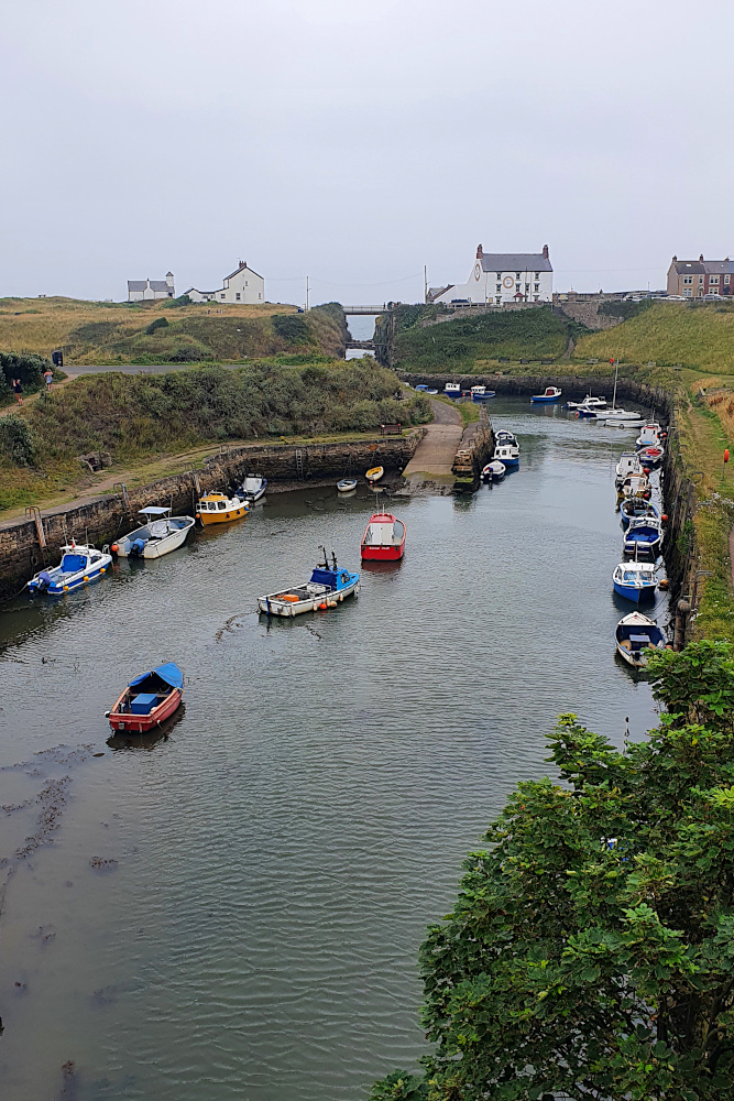
The coast to the north begins in a civilised way; seaside resorts and small ports. But it quickly becomes wilder and more remote as you push on towards border country. The area was contested for hundreds of years. Vikings attacking monasteries, English attacking Scots, Scots attacking English etc, etc, etc.

20200813 2 Edit

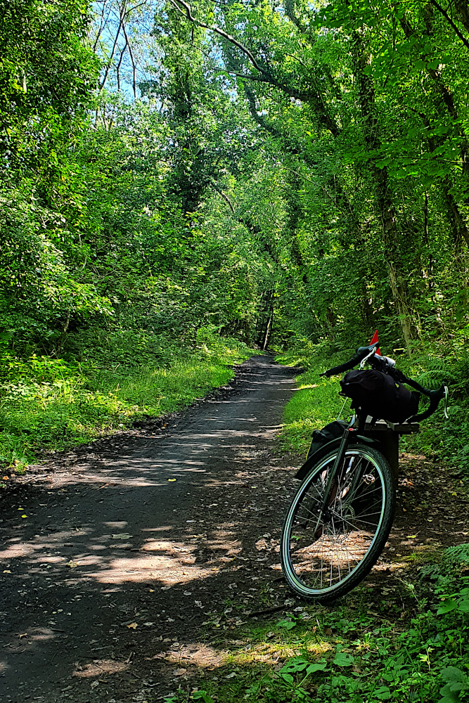
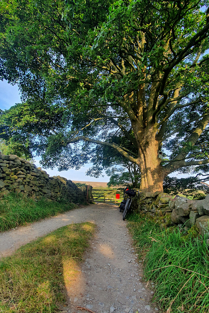
As a result, Northumbria is sprinkled with castles, including Bamburgh (above), which look all the more menacing as the fog rolls in from the sea. And the marshes and sands of the remote shore provided a perfect retreat for ancient monks, most famously at Lindisfarne, which requires a causeway to access. The downside of this landscape is that the National Cycle Route 1, which I’ve been trusting on-and-off since Kent as a fairly quick, efficient route, is literally reduced to a sheep track in places.

20200813 5 Edit

And all of this before you even get to Scotland. The last stop is the fortified town of Berwick-upon-Tweed, which has changed hands many times, but currently sits a few miles inside England. Although the local football team plays in the Scottish league, as some sort of bizarre consolation prize.

20200813 7 Edit

I hit the border in the drizzle shortly after leaving Berwick on Friday morning, and soon after ended up in the clouds (the clouds were very low, rather than me doing loads of climbing). The first impressions of Scotland were, well, foggy.

20200814 2 Edit

Thankfully, it’s still August, even all the way up here, so the sun is strong even when you can’t see it, and the dampness seems to be burning off in the afternoons. The run into Edinburgh even came with a tailwind, which was an unexpected little bonus. As was another city with great, well signposted and well used cycle routes.

I even had the chance for a quick wander around Princes Street in the evening, and have a distant look at the castle, which was looking lovely in the evening sunshine.

20200814 8 Edit

Yesterday (Saturday), it was time to head further north. To get north from Edinburgh, you need to cross the Firth of Forth, a huge estuary which almost cuts the country in half. In the olden days, there was a ferry. Then, back in the 19th century, the iconic rail bridge (below) was built.

20200815 1 Edit

It’s now been joined by two road bridges; one from the 20th century (which is the one used to cross by bike), and a new, 21st century crossing. It’s very impressive to see three kilometre-plus long bridges from three different centuries all right next to each other.

Going forwards, there seems to be some heavy rain in the forecast, which may force a day or two off in the next week. It seems hard to believe, as I’ve not had a weather-enforced day off since the south coast of England.

I have, of course, got wet a couple of times. But that was just the Scotch mist – it doesn’t count at all…

Advertisement

Edges, ‘Edges, a Parmo and an Angel – Long Miles To the North East

The wind had flipped around as I left Boston on Saturday. It was a bit unfortunate to have a headwind to deal with for the first time since the south west. But also amazing that I’d not had a headwind to deal with since the south west.

Lincolnshire is still largely flat lands, following on seamlessly from East Anglia. And, as I followed the canalised River Witham northwards, progress got easier or harder every time it slightly changed direction, as my angle to the wind altered.

20200808 2 Edit

You could argue that I cheated ever so slightly by trimming the edge off Lincolnshire. Being Saturday, I thought it was probably better to avoid the hordes of potentially Covid-infested day-trippers at the big seaside resorts on the coast, so cut inland along the river instead. Or maybe this is just an excuse for avoiding the worst of the headwinds along the coast.

In any case, I was doing a quick roadside map check, when an elderly chap on a light touring bike screeched to a halt next to me (he really needs to replace his brake pads). The encounter didn’t last long, as I was treated to a high-speed monologue ranging from my trailer to his £1000 Rohloff hub, to his planned ride for the day, and where he was going to have lunch.

This was where I realised that I’d definitely entered the North of England. I’d been vaguely thinking about the edges of the country. He was worried about edges too, or at least that I wasn’t going to be getting much shelter from the wind up on the riverbank. There weren’t any ‘edges there, though there were on the ‘ills, where he was heading.

It took me a while after he’d gone to realise that he was talking about hedges. I’ve not heard very many aitches since.

20200809 1 Edit

Crossing the Humber Estuary on the huge suspension bridge removes (I think) any doubt as to whether you’ve left the midlands behind.

Since the Humber, it’s mainly been old railway lines (first from Hull to the coast, then the Cinder Track from Scarborough to Whitby) and hills. Mostly not the nicely surfaced, commuter-friendly sort of rail paths that I’m used to in the South, but the sort of dusty, rough, rocky paths that keep your speed frustratingly low, and would probably break a road bike in half. On the plus side, like most railway paths, they were surrounded by ‘edges, so the headwind stopped being a major problem.

20200810 2 Edit

The Cinder Track, in particular, put me back right on the edge of land and sea. It’s a beautiful route, including some lovely views, like Robin Hood’s Bay (below).

20200810 3 Edit

Though I’d give yourself a day for it rather than the half day I pushed through it in. The drop into the bay was a rutted, bumpy test of both me and the trailer; we both passed, just, though with the front wheel sliding around in a somewhat alarming manner. And the track was hard enough going that it didn’t set me up well for the rest of the afternoon.

Which was unfortunate, as I needed to cross the North York Moors National Park. This is a beautiful place, and somewhere I’m very familiar with, as it’s where my Dad’s family came from. So I knew what was coming; stunning countryside, but with ups and downs as steep and frequent as Cornwall.

20200810 8 Edit

It didn’t especially help that I’d gone a bit too deep on the Cinder Track. But it also didn’t help that the National Cycle Route planners had seen fit to drop a couple of miles of very rough, very steep gravel into the mix, just when I thought I’d got through the tough parts.

20200810 9 Edit

It looks a little like the ‘White Roads’ of Italy, where the pro road racers take in sections of gravel road. But once again, it’s steep, and pitted, and the gravel is a bit too big to actually ride on. It was a beautiful end to the day, but I really need to learn to take things easier sometimes. I should be old enough to know when I’m biting off more than I can chew by now.

Dropping off the Moors into the flatter lands around Middlesbrough puts you right in line for one of the UK’s biggest calorie injections; the Teesside Parmo. I was immediately biting off more than I could chew again. A Parmo is effectively a deep-fried double chicken-breast schnitzel, knee-deep in bechamel sauce and melted cheese. They’ve been clocked at over 2000 calories each, including the chips. That’s a day’s worth of energy on one plate; not normally advisable, but just the thing to fill the tank of a touring cyclist who’d slightly overdone things.

20200811 3 Edit

And so, rather than being completely destroyed on Tuesday morning, I was ready to press on northwards. After negotiating Middlesbrough and Stockton-on-Tees, is was another old railway line that took me into County Durham. Although not sealed, the surface was smooth, and the progress quick. I wonder why some railway path builders can make them smooth, and others can’t?

After the railway line, I was already approaching Gateshead, and then Newcastle. After wiggling through a bunch of small mining and industrial towns, a short climb led me to the symbol of the region; the Angel of the North, standing guard over the main road into Tyne valley.

20200811 4 Edit

And then, an unexpected delight. You never hear about this region in discussions about cycling infrastructure in the UK.

But, for the very first time on this trip, I rolled through Gateshead, and across the river into Newcastle on well-signposted, smooth cycle tracks. I just followed large, clear signs through cycle-specific traffic lights, along clearly demarcated, wide shared paths, and segregated bike tracks. No frustrating map checks, no close passes, no conflict with pedestrians. Someone has actually designed this properly.

With the posssible exception of London, I’ve never seen a UK city which is easier to navigate by bike than Newcastle / Gateshead. It should be embarrassing for so many other cities and towns that I’ve been through, which still seem not to get it, but it’s great to know that at least one city region is doing bike infrastructure properly. I wonder why some councils can do it properly and most can’t?