touring

Escaping the Pembrokeshire Dangler

As you may have gathered from the previous post, Covid-19 (or rather, the various UK authorities’ reaction to it) is finally having a major impact on my route and plans.

It’s left it very late in the day, thankfully. And it seems to have left just enough of a gap for me to squeeze over the finish line before the gates slam shut.

Just a few minutes after I last posted here on Wednesday morning, I was already firming up plans to re-route to avoid the local lockdowns in South Wales. I was also being soaked by a continual band of heavy showers, and getting somewhat upset with the weather forecast, which had promised me a nice sunny, if breezy, day.

The rain eventually cleared in the afternoon, and I continued south with a tailwind before hitting the huge inlet of Milford Haven (though I was well inland of the town of the same name). As well as being a base for local yachties, Milford Haven also contains a colossal gas terminal further towards the sea, keeping the UK’s fossil fuel addiction burning.

Although increasingly unbelievable, the forecast for Thursday was awful, so I decided to risk one final rest day to plan how to finish up without getting trapped.

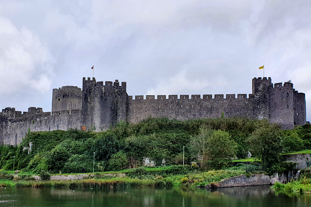
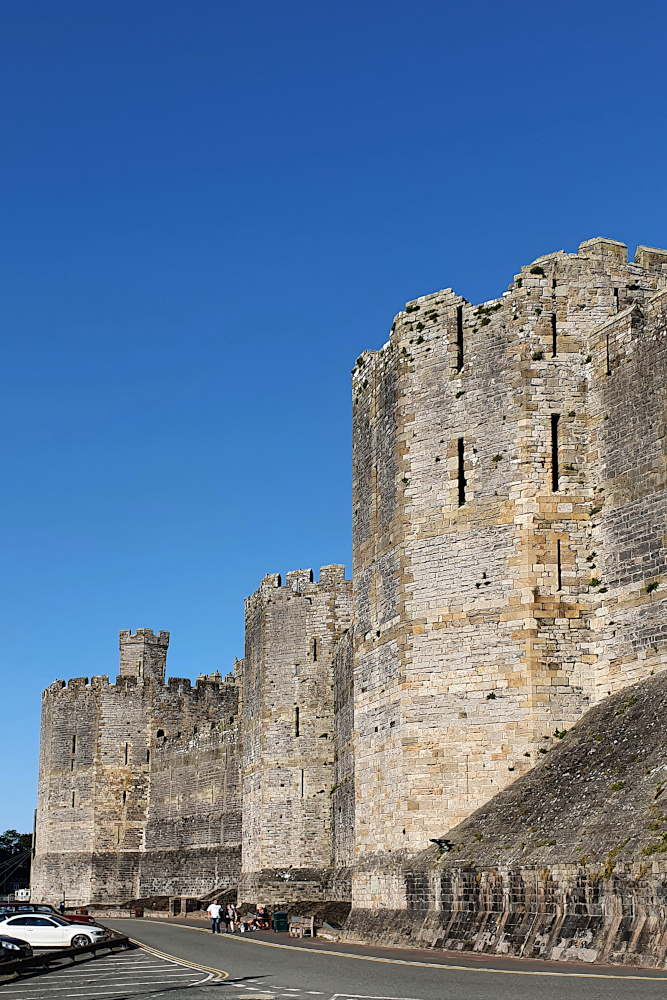
Pembroke is not a bad place to be stuck on a rainy day, with possibly my favourite castle of the whole trip (though there’s stiff competition) parked in the centre, and another old and wiggly town built around it. There’s a lot of history there, too, as there’s been a castle in Pembroke since the 11th century, and it’s the birthplace of King Henry VII.

Meanwhile, out in Covid land, there were more rumblings from the Welsh government about adding even more areas to the local lockdowns, including Cardiff and Swansea, Wales’ two biggest cities. This would wipe out any small chance that I could zip through the Covid zones on each side of Cardiff.

I had to give up on following the coast, commit to the hilly inland route via Brecon, and get planning.

The Covid ‘second wave’ in Wales is actually not as bad as it is in England, but the Welsh government seems to tend towards stricter lockdown measures. During Lockdown 1, back in the springtime, they had a five-mile travel limit. I don’t want to risk getting stuck with that sort of thing, so am aiming at the quickest possible route back, without touching the exclusion zones in the south.

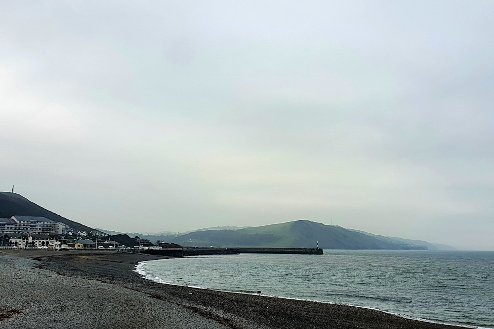
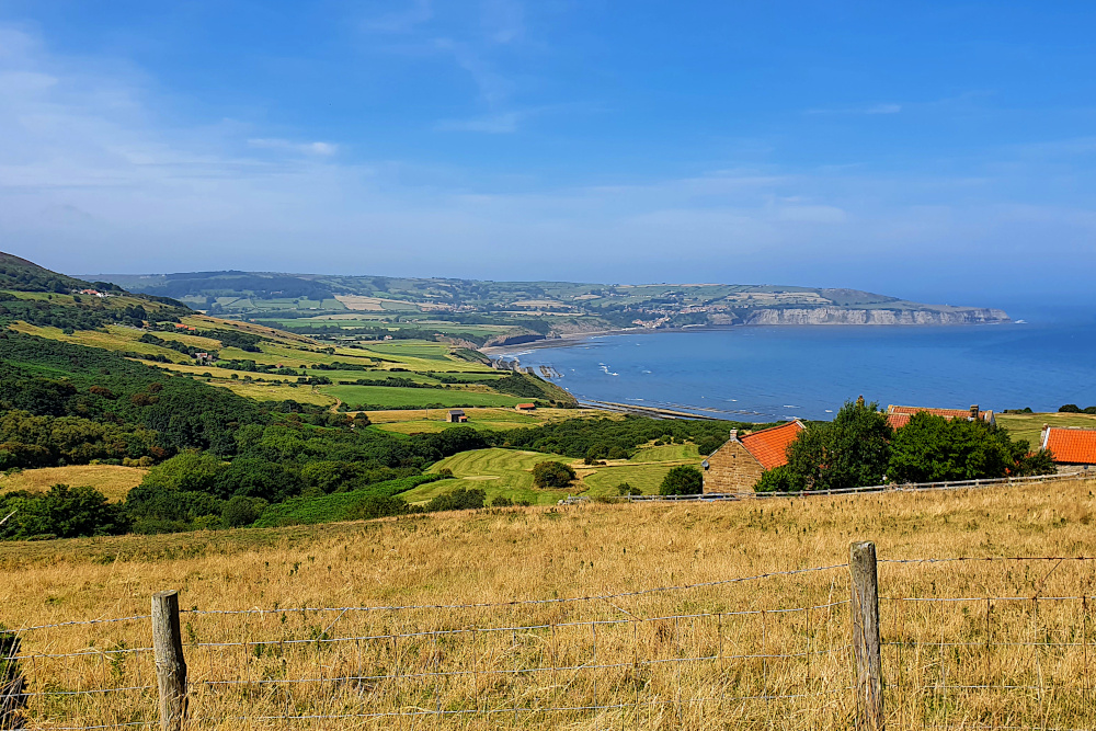
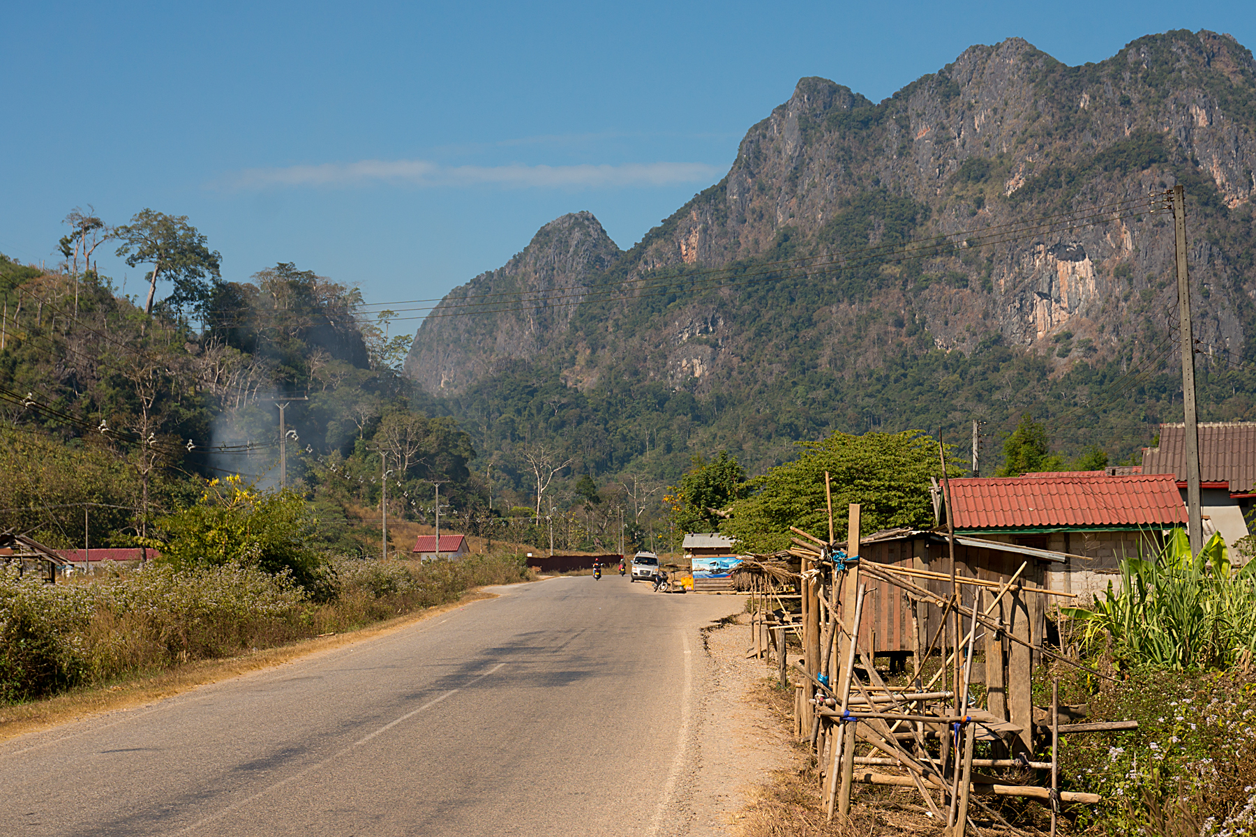
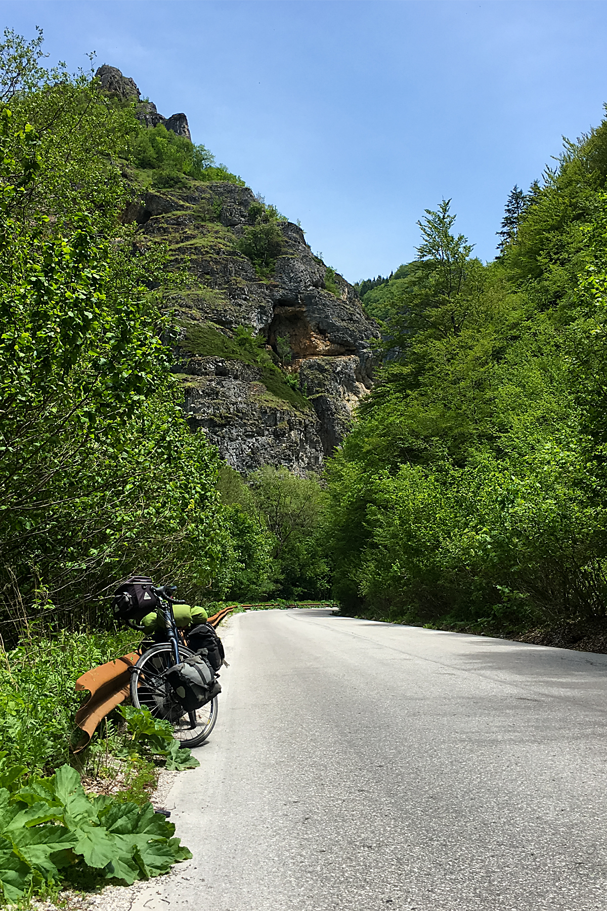
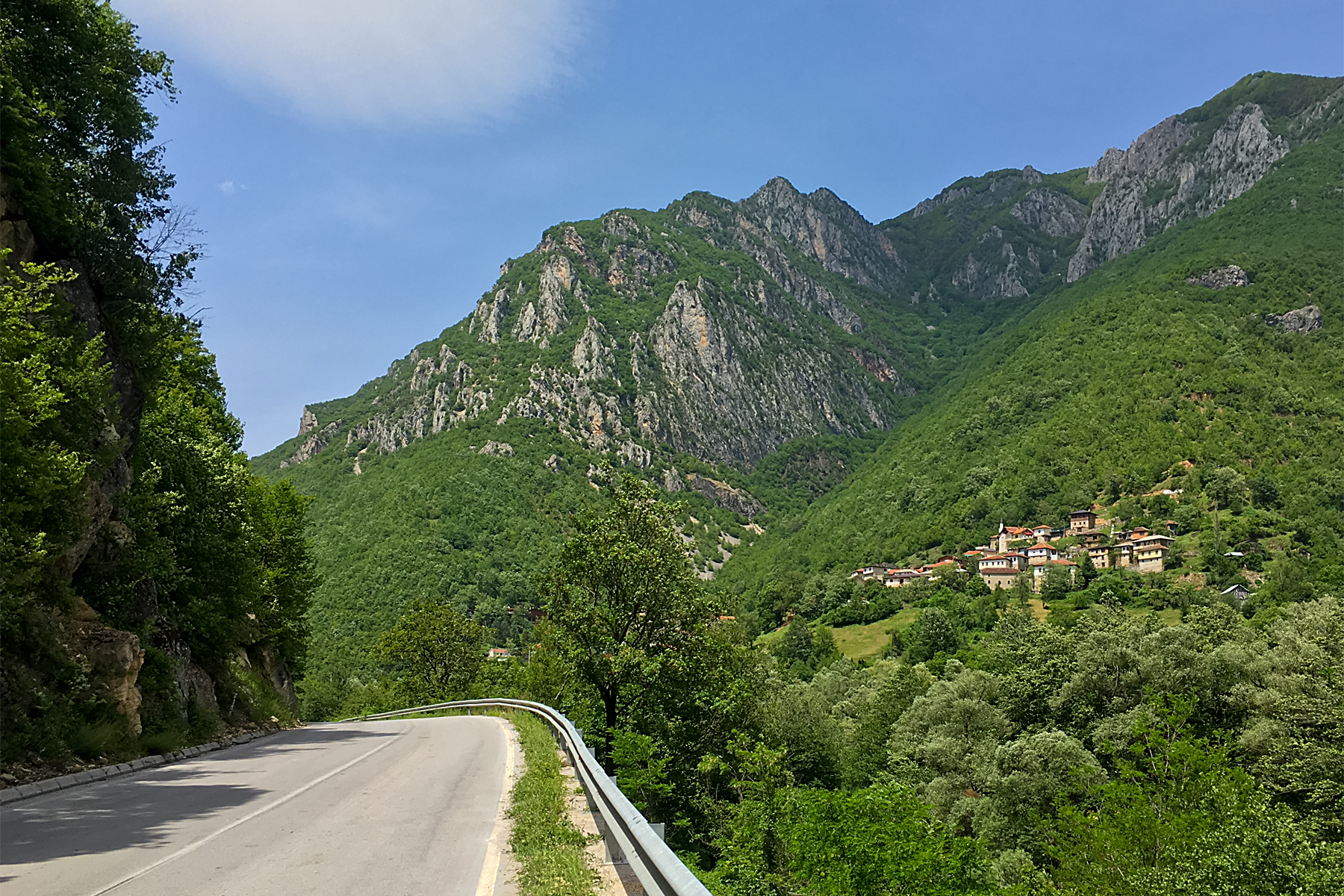
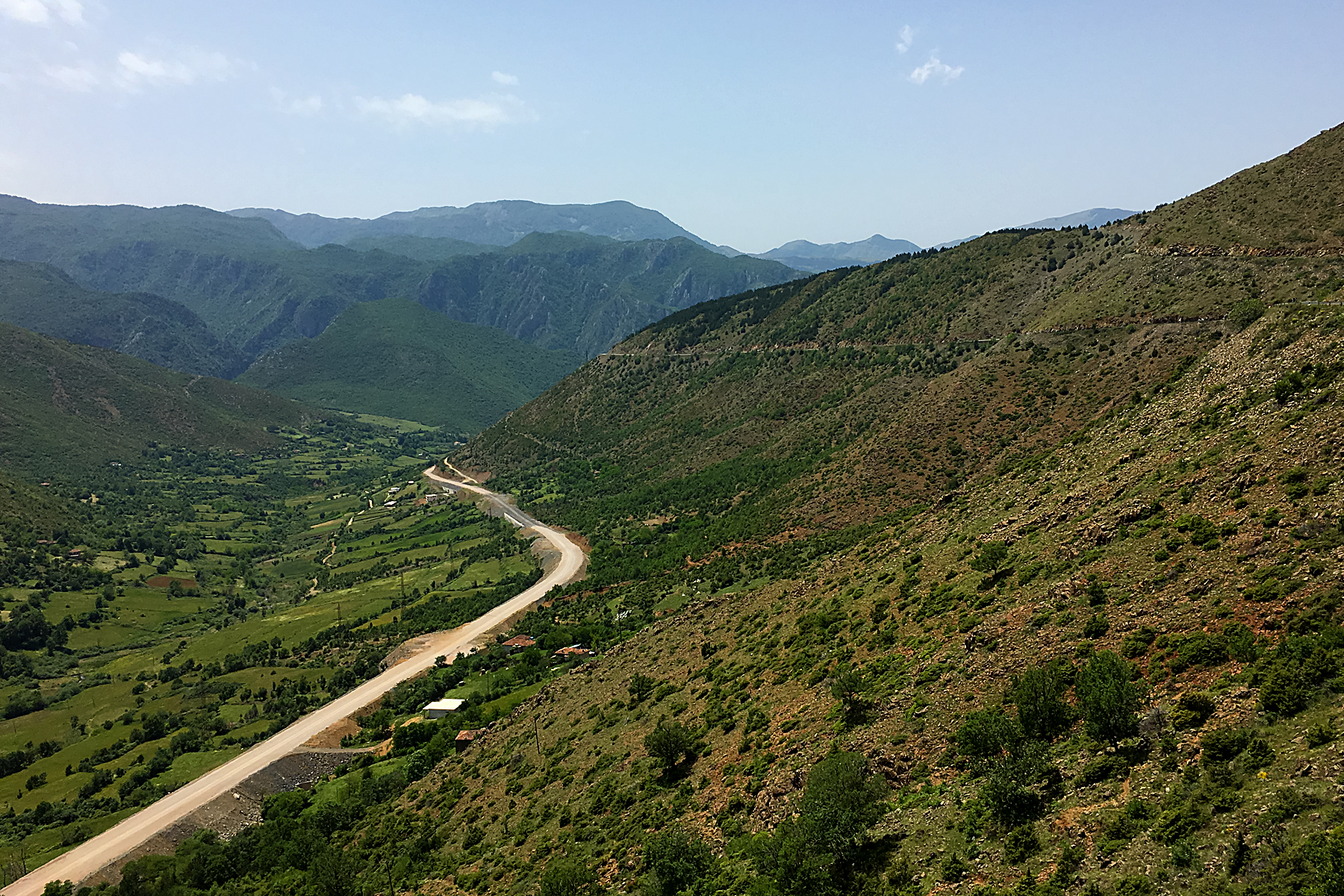
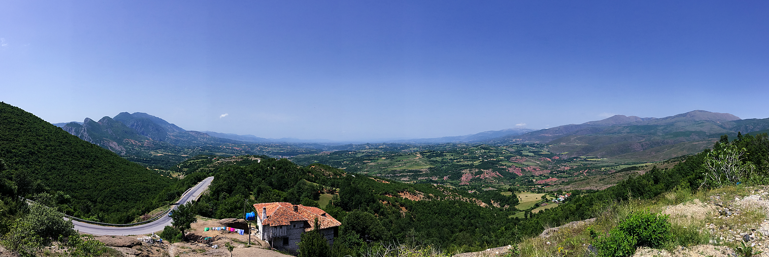
After a wetter than expected day, and a fully wet day, I was fully expecting yesterday (Friday) to defy the weather forecast and be wet too. In fact, it turned out OK, with just the odd (very heavy) shower scudding through the area on a strong northerly wind. I headed slightly north of east through the sunshine towards Carmarthen (above and below).

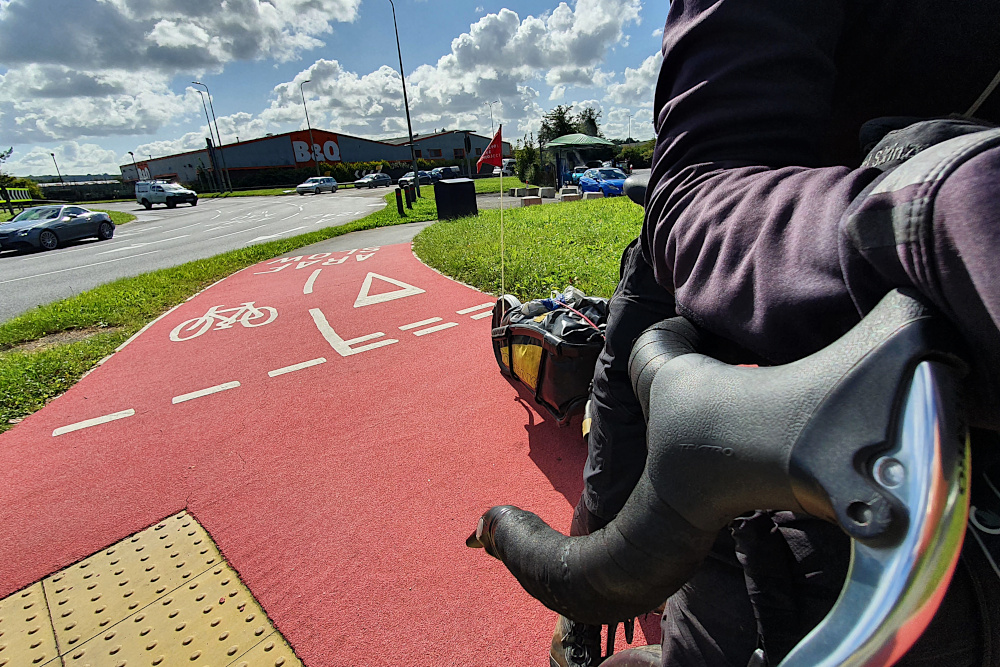
As well as the Welsh road surfaces being by far the most consistently decent in the UK, they’re also making some decent strides on the bike infrastructure side of things. Some rubbish signposting aside, Carmarthen boasted both some extremely bright (and therefore easy to follow) bike paths, and a fairly spectacular cycling / pedestrian bridge.

Carmarthen is also the gateway to the pretty Towy valley, which provided a gentle route towards the big hills of the Brecon Beacons. Even as I was heading up the valley yesterday, the expected Swansea and Cardiff lockdowns were announced, so it looks like I made the right call on the route.

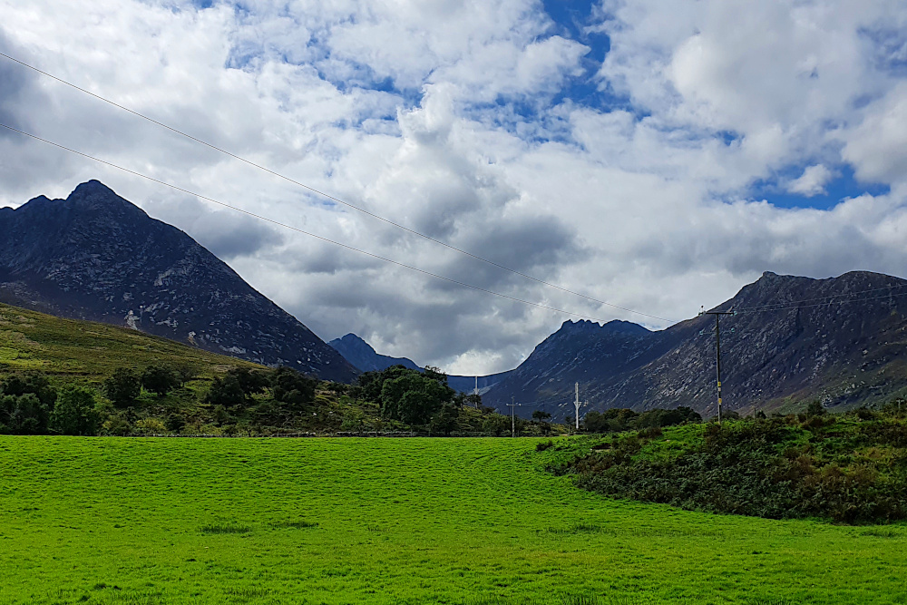
Today, it’s a big hill pretty much straight out of the gate, up onto the Brecons. Fingers crossed, that’ll take me to the start of an exceptionally long (by British standards) downhill run across the top of the Brecon Beacons National Park, avoiding the Welsh Covid zone.

And one more day should take me home, and the end of the trip. Suddenly that’s tomorrow, which seems slightly insane. It remains to be seen whether things will actually be that simple.

And the Pembrokeshire Dangler? Nothing rude, and not a peculiar local delicacy. Nor even a medical condition or the local serial killer. No. It’s a line of rain showers which occur when there’s a northerly wind picking moisture up off the Irish Sea. Beautiful weather on either side, and a constantly miserable time for anyone stuck underneath.

Sounds very familiar. But I’m not in Pembrokeshire any more…

Advertisement

West Wales – the Honey Trap

Yesterday (Tuesday) was the day the sun dimmed.

Maybe not literally (I assume it’s still out there in the middle of the solar system, doing its thing). But it certainly took advantage of the autumnal equinox to duck out of my way for a while.

And maybe the light dimmed figuratively, too, as the UK began a seemingly inevitable slide back towards Covid lockdown.

Despite only being about a week away from finishing the trip, there’s a rapidly increasing chance that the south-west corner of Wales might become a trap from which I can’t escape on the bike.

But, before most of South Wales locked down in front of me yesterday, the West certainly lured me in. It’s stunning.

On Sunday morning, I trundled most of the way from Bangor to Caernarfon on a bumpy cycle track, and then spent a little while enjoying the walled city, and magnificent castle (above). It was an impressive introduction to the west coast.

One of the big advantages of the light fading this far north on the planet is that (on the occasions that the sun actually shines) the light stays beautiful for a lot longer at the start and end of the day. Long shadows and sunshine make anywhere look nice, but the Lleyn peninsular, which sticks out into the Irish Sea, doesn’t need much help (above).

The only trouble with a solid semi-circle of high hills dropping into the sea is that you’re likely to have to climb them at some point. I’d managed to avoid 15%-plus gradients for a while, so it was a bit of a shock to be grinding up them again.

On the other hand, a little bit of effort led to some lovely views (above), and gives you access to the pretty towns and bays of the southern side of the peninsular, like Criccieth (below).

Sunday had been lovely, and I was pretty sure that Monday wouldn’t be able to match it. On paper, it was a long grind down the main coast road (like many remote places, all the traffic has to use the one big-ish road round here), which was not necessarily likely to be much fun.

The morning quickly put my mind at rest. Only a few minutes down the road from Criccieth, where the Lleyn peninsular meets the mainland, it was looking like this:

And the scenery barely let up all day. Even in the handful of miles around Barmouth, you get the pretty town, followed by the wooden cycle / footbridge attached to the railway across the estuary (below).

Then you push on a little, hit a little ramp out of a village, and suddenly realise that you’ve got a spectacular view of the town, the bay and the area around it (below). And not actually very much traffic to contend with until you get down to Aberystwyth.

Aberystwyth was where things started to change. When I arrived on Monday evening, it was basking in golden evening sunshine. Heading further south yesterday (Tuesday), however, things were suddenly looking much duller and less cheerful:

The road was busy, so I swerved into smaller lanes, which were pleasant, but super hilly. Combined with the occasional patch of drizzle, things were already a little miserable even before the politicians started lining up on TV in the evening.

There’s little doubt that summer is over (both literally and metaphorically). I’ve only got a handful of days to ride to get back to Bristol and finish the ride. But there’s now no route along the south coast of Wales, as most counties have entered local lockdown. And there’s rain on the ground this morning, and more incoming from the Atlantic. The temperature’s through the floor, too.

As it stands, there’s still the chance to squeeze through to the end. I can shunt the route inland from South Wales, although that would involve some heavy climbing through the Brecon Beacons. But with things moving so quickly in Covid World, it’s far from clear that the alternative route will remain open for long.

It’s fingers crossed time…

Unpredictable Watery Ways

The UK is an archipelago of hundreds of islands, which means that the water between is always important.

It was the only way to get around for centuries, avoiding hostile terrain, tribes and bears. Especially in the more northern parts, and where the shoreline has been splintered by the Atlantic. But, though travelling by boat used to be the most reliable way to get around the islands in the west of the UK, that’s not necessarily the case in 2020.

20200829 4 Edit

Saturday was an unexpected little bonus. I’d planned to be on an early morning ferry out of the Hebrides to Mallaig on the mainland. I hadn’t factored in the local stock sales, which are apparently important enough to completely change the boat schedules. The good side of this was that it was now an evening sailing, which gave me a chance for a short trip to Eriskay (above) before I left the islands, which was nice.

The better side was that the sales apparently went very well for the locals, and I was plied with some top quality, free whisky while waiting for the boat in the evening. By farmers, who are not exactly well known for their largesse.

20200829 8 Edit

The downside was that the ferry was now taking me to Oban, further south than Mallaig, and cutting two spectacular riding days off the trip. It was also dark, meaning that my view of the Ardnamurchan Peninsular (above) was a little restricted. A shame, as that’s the westernmost part of Great Britain, which I’d been hoping to have a proper look at.

20200830 1 Edit

Still, the next morning I was back on the bike on the mainland. The sudden transition from the windswept, almost treeless islands to the lusher, more heavily-forested mainland was a little bit shocking. There were actually palm trees in the centre of Oban!

20200830 2 Edit

Once I’d got over the shock of swapping one micro-climate for another, I had a lovely day’s ride along the brilliantly-named Loch Awe. It’s worth noting, if you’re ever intending to do the same, that the map makes it looks like a road right by the loch side, which must be pretty flat. It really isn’t like that (above). But it was nice and quiet, and very pretty.

20200830 6 Edit

Loch Awe drops you off close to the Crinan Canal (above), which again shows the importance of water around here. It was dug to save huge amounts of time for boats coming out of Glasgow and heading for the west coast and islands. Being Scotland, it’s now got a rather lovely shared-use path along it. The canal essentially removed the need to go around the Kintyre Peninsular, which is a long finger of land, extending south to within a few miles of Northern Ireland.

20200831 1 Edit

This time it was Covid messing the boats up. There’s normally a small ferry from the tip of Kintyre to the Antrim Coast. But that’s been shut down this year. With the Isle of Man also out-of-bounds due to Covid restrictions, my only option to get to Northern Ireland is via Cairnryan, way to the south. So, while I started off yesterday down the Kintyre Peninsular (above), this was only with the aim of hopping onto the Isle of Arran…

20200831 10 Edit

…before hopping straight off again. The island is often described as Scotland in miniature, although the pass I had to ride over straight off the boat didn’t feel especially small. But using the island as a stepping stone between two ferries which were working as expected (hooray!) has worked a treat.

I’ve now just got a long run down the Ayrshire / Galloway coast to reach Cairnryan, and a boat to Ireland. It’s probably time to rebalance the number of miles covered by bike with the number covered by ship. This isn’t a blog about British ferries (if such a thing exists), after all.

But I hope Northern Ireland will give me that chance in the next few days.  Assuming I can get there…

Edges, ‘Edges, a Parmo and an Angel – Long Miles To the North East

The wind had flipped around as I left Boston on Saturday. It was a bit unfortunate to have a headwind to deal with for the first time since the south west. But also amazing that I’d not had a headwind to deal with since the south west.

Lincolnshire is still largely flat lands, following on seamlessly from East Anglia. And, as I followed the canalised River Witham northwards, progress got easier or harder every time it slightly changed direction, as my angle to the wind altered.

20200808 2 Edit

You could argue that I cheated ever so slightly by trimming the edge off Lincolnshire. Being Saturday, I thought it was probably better to avoid the hordes of potentially Covid-infested day-trippers at the big seaside resorts on the coast, so cut inland along the river instead. Or maybe this is just an excuse for avoiding the worst of the headwinds along the coast.

In any case, I was doing a quick roadside map check, when an elderly chap on a light touring bike screeched to a halt next to me (he really needs to replace his brake pads). The encounter didn’t last long, as I was treated to a high-speed monologue ranging from my trailer to his £1000 Rohloff hub, to his planned ride for the day, and where he was going to have lunch.

This was where I realised that I’d definitely entered the North of England. I’d been vaguely thinking about the edges of the country. He was worried about edges too, or at least that I wasn’t going to be getting much shelter from the wind up on the riverbank. There weren’t any ‘edges there, though there were on the ‘ills, where he was heading.

It took me a while after he’d gone to realise that he was talking about hedges. I’ve not heard very many aitches since.

20200809 1 Edit

Crossing the Humber Estuary on the huge suspension bridge removes (I think) any doubt as to whether you’ve left the midlands behind.

Since the Humber, it’s mainly been old railway lines (first from Hull to the coast, then the Cinder Track from Scarborough to Whitby) and hills. Mostly not the nicely surfaced, commuter-friendly sort of rail paths that I’m used to in the South, but the sort of dusty, rough, rocky paths that keep your speed frustratingly low, and would probably break a road bike in half. On the plus side, like most railway paths, they were surrounded by ‘edges, so the headwind stopped being a major problem.

20200810 2 Edit

The Cinder Track, in particular, put me back right on the edge of land and sea. It’s a beautiful route, including some lovely views, like Robin Hood’s Bay (below).

20200810 3 Edit

Though I’d give yourself a day for it rather than the half day I pushed through it in. The drop into the bay was a rutted, bumpy test of both me and the trailer; we both passed, just, though with the front wheel sliding around in a somewhat alarming manner. And the track was hard enough going that it didn’t set me up well for the rest of the afternoon.

Which was unfortunate, as I needed to cross the North York Moors National Park. This is a beautiful place, and somewhere I’m very familiar with, as it’s where my Dad’s family came from. So I knew what was coming; stunning countryside, but with ups and downs as steep and frequent as Cornwall.

20200810 8 Edit

It didn’t especially help that I’d gone a bit too deep on the Cinder Track. But it also didn’t help that the National Cycle Route planners had seen fit to drop a couple of miles of very rough, very steep gravel into the mix, just when I thought I’d got through the tough parts.

20200810 9 Edit

It looks a little like the ‘White Roads’ of Italy, where the pro road racers take in sections of gravel road. But once again, it’s steep, and pitted, and the gravel is a bit too big to actually ride on. It was a beautiful end to the day, but I really need to learn to take things easier sometimes. I should be old enough to know when I’m biting off more than I can chew by now.

Dropping off the Moors into the flatter lands around Middlesbrough puts you right in line for one of the UK’s biggest calorie injections; the Teesside Parmo. I was immediately biting off more than I could chew again. A Parmo is effectively a deep-fried double chicken-breast schnitzel, knee-deep in bechamel sauce and melted cheese. They’ve been clocked at over 2000 calories each, including the chips. That’s a day’s worth of energy on one plate; not normally advisable, but just the thing to fill the tank of a touring cyclist who’d slightly overdone things.

20200811 3 Edit

And so, rather than being completely destroyed on Tuesday morning, I was ready to press on northwards. After negotiating Middlesbrough and Stockton-on-Tees, is was another old railway line that took me into County Durham. Although not sealed, the surface was smooth, and the progress quick. I wonder why some railway path builders can make them smooth, and others can’t?

After the railway line, I was already approaching Gateshead, and then Newcastle. After wiggling through a bunch of small mining and industrial towns, a short climb led me to the symbol of the region; the Angel of the North, standing guard over the main road into Tyne valley.

20200811 4 Edit

And then, an unexpected delight. You never hear about this region in discussions about cycling infrastructure in the UK.

But, for the very first time on this trip, I rolled through Gateshead, and across the river into Newcastle on well-signposted, smooth cycle tracks. I just followed large, clear signs through cycle-specific traffic lights, along clearly demarcated, wide shared paths, and segregated bike tracks. No frustrating map checks, no close passes, no conflict with pedestrians. Someone has actually designed this properly.

With the posssible exception of London, I’ve never seen a UK city which is easier to navigate by bike than Newcastle / Gateshead. It should be embarrassing for so many other cities and towns that I’ve been through, which still seem not to get it, but it’s great to know that at least one city region is doing bike infrastructure properly. I wonder why some councils can do it properly and most can’t?

The End (Part 2) – Closing the Loop

As you’ll probably have gathered from my brief post last Friday, the long line of red blobs on the map of the world has finally become a loop.

Or, put another way, I’m no longer circumnavigating.

I’ve circumnavigated.

20140715-192620-69980158.jpg
Last Friday was just over two years since I began (above), including the time off after the accident in Thailand.  I can’t quite believe I was that chubby…

Still, after 480 days actually on the road for the round-the-world ride (and considerably thinner), I rolled back into Kent, then Greater London, then Greenwich, and finally back to the viewpoint next to the Royal Observatory where the whole thing started.

It was a pretty relaxed final leg in the end.

Splitting the ride from Calais to London into three days gave me plenty of time to dawdle, and get used to the idea of finishing the trip.  Although I’m pretty sure that even now, after a few more days and a surprisingly large number of intoxicating beverages, it still hasn’t properly sunk in.

From central Calais, it was just a couple of kilometres to the port.  And then another couple around the miles of high security fencing.  Through the French exit checks, then the UK entry checks, then the ferry check-in.  I was (at least bureaucratically) back in the UK before I got on the ship.

A millpond-flat crossing to Dover, a long wait for all the motorised vehicles to clear the ferry before I was allowed off, and I hit English tarmac for the first time in ages.

Turns out the roads are still rubbish.  Though not quite as bad as Belgium, as I now know…

IMG_2341 Edit

Apart from the port, there wasn’t a lot to keep me in Dover, so it was up the hill and into the country lanes towards Canterbury, my first overnight stop back on home soil.  Tiny country lanes, as you can see above.  But full of cyclists; I was running along a National Cycle Network route, and there was a large London-to-Paris group heading the other way.

Nice though it was to be constantly saying ‘hello’ to dozens of other adventurous cyclists, it was also a slightly sobering reminder that, while they were just starting their adventure, I was very close to finishing mine.

When I wasn’t nodding and grinning at the other bikers, I was trying to keep a reasonably straight line through the lanes.  The tiny roads caught me out twice.  Not by getting me lost, but by allowing me to head off on the wrong side of the road after map checks.  Given that I’ve spent most of my life walking, driving and cycling in this country, that’s pretty much unforgivable.  But I guess it was just taking a little while to readjust; the last time I’d been expected to ride on the left was in India…

IMG_2346 Edit

Canterbury was a nice last urban stop before the metropolis.  A bit like York, which is probably better known to many tourists, it’s an ancient cathedral city, with narrow lanes and city walls.  It helped that the weather was (by UK standards) spectacular.  And that it’s not exactly difficult to find a good pub for the first decent cider in a while.

After Canterbury, it was the old pilgrim trail to London on Thursday.  Following pretty much along the line taken by Chaucer’s pilgrims in the Canterbury Tales.  At least until the distinctly less-than-medieval M25 motorway came into sight, marking the visible start of London’s massive gravitational field.

IMG_2351 Edit
And all that was left the next morning was the suburbs.  Only about 20 miles, but back into the urban traffic madness of the capital.  It took me past the end of the entirely unremarkable street where I used to live in Bromley (above).  Where the journey really started (or, at least, the idea for it was born).  I still find it a bit odd that just selling a tiny flat on that road bought me the time (and the bikes and kit) that I needed to get around the globe.  It’s a bit of a shame that I haven’t got another one to sell in order to keep going…

A cup of coffee, and then it was just a mile of parkland and driveway to the end of the road.  And the mandatory approach to finishing something like this (thanks to LG for both the champagne and the photo):

IMG_2365 Edit

If I seem to be concentrating very hard on spraying the champers, I can assure you it was nothing compared to the concentration required to remain upright by the early hours of Saturday.  And I think that waking up with a brutal headache probably masked the mixed feelings produced by finishing the ride.  They’re just starting to crystallise now.

I’m very happy to have made it, of course.  And to be able, finally, to think of myself as a ‘proper’ round-the-world cyclist.  It’s great to be catching up with family and friends (and having drunk arguments with some of them!).  And to be able to look back with a degree of satisfaction on those deserts, high mountains, tropical forests, lakes and coastlines which have provided such a spectacular backdrop for my life in the last couple of years.

I’m also happy that (apart from occasional lingering aches and pains, and a funny-shaped shoulder) I’ve not caused myself any permanent damage on the way around.  And I’m immensely grateful to the people I met all over the world who, without exception, chose free lodging, free food and water, and roadside rescues instead of robbery, theft, or hitting me with their cars.

But there’s definitely sadness too.  No more heading off to see new things and ride new roads every day.  And a slight sense of dislocation.

My life for the last two years has been pretty simple.  Get up, ride, eat, sleep, and then do it all again.  Now, of course, there are things which need sorting out.  I’ve got a blank sheet of paper, which will need filling in.  I’ll need money, and all that tedious sort of stuff, which it’s been so nice to escape for a while.  Where am I going to live?  What am I going to do with myself?  None of this has received a great deal of my attention of late.

20151222RTW_1 Edit

The road ahead may not always be a literal road like the one above.  Although I’m pretty sure that it will be again (and hopefully on a bike) before too long.  The feet are already itchy.

But the Unknown will always be there.  Around the Corner.  I just need to work out how I’m going to keep on finding it…

Swiss Rolling

Another long gap between posts.

Who’d have thought that Switzerland, and then Germany, would produce such formidable technical challenges?  No electricity in one, and virtually no internet in the other…

I should’ve known things were going to get tricky.  Just a few kilometres out of Albertville on Sunday, the road towards Chamonix was closed.  This was, on the face of it, a bad thing.

It meant that I missed my reconnaissance of the Tour de France mountain time trial, which I’d been intending to ride (in reverse) on the way towards the Swiss border, as well as the Col du Forclaz on the border.  A swift re-routing was required.  This was a pain.

On the other hand, the only alternative was up a long, and very pretty, cycle route to (and along) Lake Annecy:

IMG_2167 Edit

Which was the first in a series of spectacular lakes.

And after one more (low) alpine pass, I was done with the French Alps, and parked up near the Swiss border.  Ready to have a proper look at the country, after my 90-minute preview a couple of weeks ago.

Like several Swiss towns which sit on the border with other countries, Geneva has ‘foreign’ suburbs.  So it was only a few minutes on the bike from my overnight stop in France to the centre of town, and Lake Geneva:

IMG_2183 Edit

The first thing you notice (as a cyclist) in Switzerland is the proliferation of bike lanes.  You can roll into pretty much any town on marked routes.  Often, these are segregated, although a lot are just British-style paint on the road, too.  In either case, it makes a nice change from having to fight for space on crowded streets.

The second thing you notice is how hideously expensive everything is.  This is obviously exacerbated for me by the inevitable economic damage done by the ‘Brexit’ vote – thanks for the extra 15% on everything, Britain!  But Switzerland is outrageously expensive anyway.

IMG_2186 Edit.jpg

For example, my campsite at Lausanne was in a beautiful lakeside location (above).  But US $24 for one person and a tent is not exactly as economical as camping should be.  A fizzy drink and a bottle of water costs US $6 in the average cafe or petrol station.  A ‘value’ meal in a well-known burger chain runs to US $13, (and those prices are against a pretty strong US dollar).  So you know you just need to cross the country as quickly as possible.  To get somewhere (anywhere!) where you can survive on less than a banker’s salary.

While I was out of the Alps, I still had to cross another range of big hills (the Jura) before reaching Basel, and the Rhine valley.  At first glance on the map, the Jura look quite intimidating; ridge after ridge after ridge of fairly high, steep hills barring the way north.

IMG_2204 Edit

But a little more planning reveals that there are little gorges between the valleys, so you actually ride all the way from Neuchatel to Basel with only one major climb.  Despite fairly often heading into apparently closed valleys with dismayingly steep sides, there’s always a little ‘doorway’ through which you can escape (like the one above).

Which made for a fairly relaxing run down from the lakes, and through the hills on Wednesday and Thursday.

The city of Basel is another Swiss border city.  I’d been flipping between French and German-speaking Switzerland every few kilometres from Neuchatel, and Basel sits on the border of three countries, with France and Germany both sitting across the city limits to the north.

Given that this triple border lies on the Rhine, which is one of Europe’s great rivers, I was hoping to get a picture of the wide river, with all three countries in one photo.  Unfortunately (certainly when heading to Germany), all you see is warehouses and industrial buildings before the – empty – border post.  At which point, you enter Germany, while your phone lights up with a ‘Welcome to France’ message.

IMG_2212 Edit

Thankfully, there are some flags to make the ‘triple border’ point without the panoramic picture or the inaccurate text messages.

And so, yesterday (Thursday) afternoon, I rolled along the flat Rhine valley in yet another country; Germany.  I can’t say much about it yet, as the area’s heavily forested (it’s on the edge of the Black Forest, in fact).

So it’s short on stunning views so far.  I do know that it’s much cheaper than Switzerland, which is good.  And that staying in a small spa-town with ‘lots of old people’ (as I had it described to me) is not a recipe for a decent internet connection.

It was also the wrong choice of country.  Had I chosen the French side of the river, I’d have watched a glorious footballing victory last night, instead of a bitter footballing disappointment.

Still, I’ll hopefully find out more about Germany as I go along.  In the meanwhile, the weather is good, the roads are flat, and I have exactly two weeks left to enjoy my ride around the world (I’m expecting to get into Greenwich on 22nd July, barring any problems).

Oh, and I received the photo I mentioned last time, which is nice.  For those who haven’t seen it on Facebook yet, the picture below is me and the bike taking on the Col du Glandon last Wednesday.

KV6B4807 Edit.jpg

Not quite in the style of the Tour riders (including Steve Cummings, who just won today’s stage up the Col d’Aspin in the Pyrenees), but a professional photographer certainly makes it look easier than it was…

More from the heart of Europe next time (hopefully a bit quicker, and with fewer technical problems).

* * *

For UK-based Touring Cyclists

Note that most ‘universal’ adaptors for UK electrical devices do not fit modern Swiss electric sockets.  The socket design prevents anything other than narrow, two-pin European plugs from fitting.  There are a few old sockets around (I managed to find one in the whole country), which will work, but it makes sense to check whether your adaptor will fit Swiss sockets before you get there.

Otherwise, you might not be able to update your blog for a week 😉

Deflection. Reflection.

I’m not where I thought I’d be.

One of the joys of bike touring is that you can pretty much go where you like, and change your plans when you want.  One of the pains of bike touring is that sometimes your plans get changed for you, and you have to miss things to keep moving.

So I’m in Italy today, when I should really be in either Slovenia or Austria.  I’d better explain why, I suppose…

IMG_1942 Edit

About two inches of rain fell in my part of Croatia on Saturday, in the couple of hours it took England to make a typically underwhelming start to Euro 2016.  In contrast to the football, the lightning was pretty spectacular.

Then it rained all day on my day off (Sunday) too.  Thankfully, my now well-tested bike chrysalis stood up to the deluge (above – a good reason to carry a tarp, even if you never use it to keep yourself dry).  So the Beastlet was saved from drowning.  And the rain failed to dampen the spirits of the locals, who celebrated Croatia’s first goal in the competition by lighting every flare in the marina, while running around in clouds of early-afternoon alcohol fumes (below).

IMG_1947 Edit

But the rain was starting to get to me.  You might have noticed that the last few posts had lost a little sparkle.  Spending what has felt like weeks dodging thunderstorms wears you down eventually.  But I think I’m also suffering from quite a bad case of end-of-trip blues.  Of which more later.

Monday morning dawned cloudy and drizzly.  Some time before I eventually woke up, needless to say.  I was heading for Slovenia, my last ex-Yugoslav country.  I’d been there on a brief work trip years ago, and was looking forward to heading north through the big hills, and reacquainting myself with the pretty capital, Ljubljana, and lovely Lake Bled.

But the central European storms are back.  I’m not sure they ever really went away.  I can’t imagine it’s been much fun for people who live there for the last few months, as storm after storm has just bombarded the whole area.  But the weather forecast on Monday showed an area of storms nearly as big as Germany sitting all over the mountains to the north.

It looked like I could squeeze across the border before the rain hit on Monday, so I hammered along, trying not to notice the damage I was doing to my quads by climbing over a thousand vertical metres much too quickly.  I suppose it’s good training for when I hit the Alps…

And I did just get under cover in Slovenia before the rain hit.  And then got soaked to the skin just getting to the supermarket and back.

My only hope yesterday morning was that the weather forecast might have changed miraculously overnight.  It hadn’t.  At least three days of heavy electrical storms if I continued north.  Electrical storms in the mountains are a terrible idea.  Half a chance that the rain would be intermittent enough to keep moving if I swung out of the hills and made a run for the lowlands of north-east Italy.

Slovenia’s not a big country, but it is very pretty.  So it seems very unfair that my enforced deflection from my intended route left me riding only about 40 miles of the country.  And in the pleasant, but entirely unremarkable, south-western corner.  So unremarkable that it wasn’t worth any photos.  And I’ve missed out on clipping Austria before getting to Italy, too.

IMG_1957 Edit

On the positive side, as the picture above may suggest, the plan seems to be working.  There’s been occasional drizzle, black clouds, isolated showers, massive downpours overnight, and wet roads.  But nothing that’s stopped me riding.  Yet.  And I’ll hopefully be able to get up into the Italian Alps to rejoin my intended route in a couple more days, when the weather has (hopefully) eased a bit up there.

Shops selling wine in milk cartons for less than 2 Euros a litre helps to ease the pain a little, too.  As does access to lovely Italian food.  And proper coffee.  It’s nice to be back in Italy.

IMG_1961 Edit
And that brings me back to those end-of-trip blues.  I’ve had plenty of time on long, straight Italian (probably Roman) roads to reflect on why I’m feeling a bit off at the moment.

Getting back into Europe when I arrived in Greece was stage one.  Things immediately got more familiar.  Then I had the fascinating and beautiful Balkans, which were adventurous again.  But ever since I began working my way up the Croatian coast, I’ve been in holiday country.  People from all over Europe go to Croatia for their dose of summer sun and relaxation.  Same with Italy.  And it’ll be the same again with France.  You know you’re back in Europe proper when every incline has a Dutch caravan on it.

The Italians have even named a phone network in my honour.  So my phone now says ‘I Tim’ on it, just in case I ever forget my own name:

IMG_1964 Edit

I think the problem is that these last few weeks before home feel more like a holiday than an adventure.  It’s exactly six months today (Wednesday) since I pedalled away from Hanoi to begin part two of the round-the-world ride.  And just over 23 months since I left London to begin the circumnavigation.

And after all those months and continents, after the big accident in Thailand, after the deserts, mountains, different cultures, and interesting people, it feels a bit like I’m already home.  And that I’ve just nipped away for a couple of weeks’ break.

I should be enjoying feeling this comfortable, and having all the benefits of civilisation available on demand again.  And I know that the idea of riding a bike across western Europe should be an exciting adventure in itself.

But it just feels a bit tame compared to Uzbekistan.  Or Laos.  Or Myanmar.  Or even Georgia.  Which is why I need to get back to the mountains.  The Alps should snap me out of it.  Just as long as it stops raining…

Grinning from Ear to Ear

I’m not sure that I ever thought that I’d find my cycling paradise in Macedonia.  I certainly didn’t expect to find it in Albania.

But after two superb days of stunning mountains, gorges, lakes and rivers, I’m beginning to think that this might be it.  At least, it might be if the roads weren’t quite so ropey, and the driving standards quite so poor…

IMG_1769 Edit
There wasn’t much of a clue as I left Skopje on Saturday.  Some reasonable scenery, and reasonably flat roads, but nothing to indicate that I’d spend most of the following days grinning like a crazy person.

And Sunday began with an 800 vertical-metre climb into Mavrovo National Park, pushed up against Macedonia’s border with Albania.  I reached the top feeling fairly hot, and slightly tired.  A coffee by Lake Mavrovo perked me up a little bit.  And then it was time to head for the border town of Debar.

IMG_1777 Edit

I’d kind of registered that there was a lot of downhill from the lake.  But I didn’t realise that it was around fifteen miles of downhill.  Down a magical gorge road (the two pics above).  Magical because the road kept falling as the mountains on either side got higher.  And because every twist and turn just revealed another spectacular view.

It was actually a bit dangerous, as my head was constantly swivelling to catch the next snow-capped peak, or overhanging cliff, or village clinging improbably to the side of the valley.  I’d normally have been paying a little more attention to the next bend, or the next vehicle charging towards me on the wrong side of the road.

It was a stunning piece of road.  And when I finally hit the bottom at Lake Debar (below), I was so elated that I didn’t even mind the nasty, 20% ramp before Debar town.  I barely even noticed it.  But I did feel sad to be on the verge of leaving Macedonia so soon.

IMG_1781 Edit

Debar is typical of western Macedonia.  All the way from Skopje, you can feel the Slavic and Orthodox Christian influences weakening as you approach re-entry into the Muslim world at the Albanian border.  Once you get to Debar, you can really feel how close you are; I noticed several mosques, but no churches.  And the statue in the town park was of the great Albanian hero, Skanderbeg.

This morning (Monday), it was just a five kilometre ride to the border.  Another super-relaxed crossing, although the Albanians do still stamp your passport, and I was rolling into country number 27 (they really clock up quickly round here).

Albania proved fairly pretty, but irritatingly uphill and headwindy until lunchtime.  And then it all changed again.

IMG_1785 Edit

For the second day in a row, I found myself on an almost infinite downhill.  There’s a new road in the bottom of the valley (above), which is not finished yet, so the current road twists and turns its way along the valley side.  You can just about see it.  There’s very little in the way of barriers or other safety equipment here, so the ride is a little more exhilarating than it strictly needs to be.  Which is fun, as long as your brakes keep working.

By the time I’d worked my way down the upper slopes, and round the corner to the right, I could actually smell the discs heating up.  This is a first for me on a bike (possibly indicative that Albanian driving habits are contagious), and I was relieved to find that there was no scary brake-fade as a result.  Because I was about the hit the really fun part.

IMG_1789 Edit

It’s always hard to appreciate on photos, but there’s still quite a long way left to drop on the picture above.  Another five or so miles of passing trucks, bouncing flies off my teeth, leaning through hairpin bends, and slithering a little bit on the occasional gravel patch.  And all the time with this magnificent landscape all around.

If I’d smiled any wider, I’m pretty sure my face would have split.  And I’d have started ingesting unacceptable amounts of airborne insects.

The last few miles to Burrel were flat and pleasant farmland, along the valley bottom.  With the exception of another steep spike up into the town itself.  Just like yesterday, I didn’t mind the hill at the end at all.  I even had a go at chasing a local cyclist (on his carbon fibre road bike, complete with race number) up the incline.  I’m pretty sure he let me catch him, but he did a great job of looking impressed.  A fantastic end to a brilliant couple of days’ riding.

IMG_1796 Edit

And, as the sun fell over the hills at Burrel (above), and a well-deserved steak rounded off a near-perfect day, I realised that I’m already halfway across Albania (it’s not exactly the fattest country).

It seems almost a shame to be progressing so quickly.  People here are insanely friendly (roadside high fives, and even slaps on the back, are common), and the riding is just great.

I have a feeling that I might just be back around here one day…

On the Edges

Borderlands are always interesting places.

Mountains plunging into the sea provide stunning landscapes.  Places where cultures bump into each other produce fascinating history (even where they also – all too often – provoke conflict).  It’s at the edges where things are most compelling.

I’ve been in border country since the last post, although I’ve only really appreciated it today.

IMG_1598 Edit
Bolu (above) was the last proper city in the hills.  Since then, it’s been small towns and smaller climbs (and some immensely fun downhills), as I’ve crossed from the mountainous interior of Turkey back towards the Sea of Marmara.

And the sea (together with the Aegean, immediately to its south, and the city of Istanbul at its northern end) has been a cultural crossroads since people started writing history.

So the borderland between the hills and the coastal areas is also the edge of a fuzzy cultural boundary.  Although I’m not in Europe yet, things are changing already.  Up in Bolu, things still felt very Asiatic, with the fairly mono-cultural cityscape of mosques, minarets and square buildings dominating.  Within a couple of hundred kilometres, things are much more cosmopolitan.

But the noticeable changes had already begun at Bolu.  Just a few kilometres east of town, my road had been joined in its valley by a motorway.

IMG_1600 Edit

That’s not just a road with a designation beginning with ‘M’, as was the case in the former Soviet countries.  It’s a proper, European-style motorway (the main drag between Ankara and Istanbul).  The sort of road where bikes are not allowed.  It’s the first road I’ve seen for months that I can’t ride.

I know that this will be the new normal from here on (and that it’s my normal normal in any case).  But I’ve got so used to rolling along whichever road I want that it feels like a big change.  So does the fact that the chocolate bars in petrol stations have suddenly become the same as at home, where further east, they are all Turkish versions.

I think my perspective might have got a little skewed somewhere along the way…

There are still plenty of reminders that I’m not home just yet.  It’s pretty certain that a flatbed van in Europe wouldn’t be allowed on the road with a ton of apples tied loosely on the back with string.

But that appears to be what caused me a twenty minute delay this morning:

IMG_1621 Edit

Thankfully, things got slightly more organised after the big guy in the red shirt started waving his arms and shouting.

This afternoon (Tuesday), the cultural variety and complexity of this area became clearer.  I dropped down to lake Iznik.  I’d been trying to get to a town on the edge of the lake, which is marked up on Google Maps as ‘Nicaea’.  And I’d been getting increasingly concerned that I’d not seen it signposted.  I was just following signs for ‘Iznik’, and hoping that Nicaea would become obvious.

It turns out that Iznik and Nicaea are the same place.  Google uses the Greek name for some unfathomable reason.  Although that was the town’s name when it was established (by a Greek mythological character, apparently), it’s been Iznik for ever as far as the locals are concerned, and Google should probably have caught up by now.

IMG_1628 Edit
But it’s not just the names of the town that show how many cultures have had a say in this region over the full course of recorded history.  The city walls, which I casually parked the bike against on the way into town, were originally built by the Ancient Greeks.  The local tourist guide notes, sadly, that ‘only Roman and Byzantine construction remains’.  And that’s still not counting the role of this area of Turkey in the birth of the Ottoman Empire.

There’s an intimidating amount of history in this part of the world, on the edge of so may empires.

I’m going to have a day off tomorrow (Wednesday) to have a proper look around Iznik, and digest some of this stuff.  It’s only about half a mile across, but has ancient churches, mosques, Roman arches, and so on.  It even has a mosque called the Ayasofya, which used to be a church.  Just like Istanbul.  But much, much quieter.

20160510RTW_6 Edit
I’m happy I can get all the layers of history around here, as I’ve decided not to head to the metropolis on the Bosphorus.  I could probably have got to the outskirts today, and entered European Turkey tomorrow.  But I’ve been to Istanbul before, and I’m not quite done with the Asian continent just yet.  And I’ve heard a lot of nightmarish stories about the Istanbul traffic.

Instead, once I’ve had my rest, I’ll head along the south of the Sea of Marmara.  It’ll take an extra few days to get to Europe, but I should see some more interesting places, and enjoy the coastline.

There’s one other, slightly fuzzy edge which merits a quick mention (in my book, at least).  And that’s the edge of space.  This is usually considered to be the Karman Line, and is 100km (62 miles) above the surface of the Earth.

Why is the Karman Line of any interest?  Because, yesterday, while grinding up yet another incline, I reached 100,000 metres (or 100 km) of vertical gain on the round-the-world trip.  I’ve climbed to the edge of space on a bicycle with bags hanging off it.

No wonder my legs need a break…

On Climbing and Waiting for Rain

I wasn’t sure that I’d get very far after I left Samsun yesterday morning (Tuesday).

First, there were some horrendous weather forecasts flying around.  Most of which suggested that I’d be pinned down by thunderstorms and wave after wave of heavy rain until Saturday.

Second, it was time to hit the mountains again.  This was sure to slow me down, and so leave me trapped in the middle of nowhere as the lightning flashed and a month’s worth of rain fell in twenty minutes.

All in all, it looked a bit nasty as I pulled on my brand new cycling shorts*.  The cloud was already down on the tops of the hills around the city, and I almost decided just to go back to bed for a week, and wait for the rain to get to me.

IMG_1543 Edit

So far, it’s been a decent decision not to.

The clouds began to clear as soon as I turned inland, and the remnants of the breeze which had pushed me along the coast were funnelled by the hills into a little tailwind.  The road has been beautifully engineered throughout, too.  But it was still quite a surprise to start at sea level, and to hit a 900-metre (close to 3000 ft) pass before lunchtime.  At an average of 13 mph.  And in the sunshine, too.

I wasn’t fooled, though.  This was not allowed to be a brilliant day.  I knew the mass of rain that the TV news was showing couldn’t just disappear.  It was just a matter of time.  I watched the skies, suspiciously.

Still, as I rolled into Havsa yesterday afternoon, I was still bone dry.  There were a handful of heavy storms about, but they were all pretty small and none came too close.  I figured I’d got lucky, and prepared to be rained in the next morning.

IMG_1561 Edit
After watching the sun go down behind the mosque, I considered composing a few sentences on how my trip has also been a little window onto the Islamic world.  Then I realised that nobody likes a pretentious cycle-tourist, and went to bed instead.  To everyone’s great relief, I’m sure.

I was woken after midnight by the sound of rain pounding down outside.  I felt vindicated, and a little smug, and drifted back off again.

The morning sunlight woke me before my alarm went off.  I was confused.  There really wasn’t supposed to be any sunlight this morning (Wednesday).  I looked outside.  There were some clouds scudding about on what looked like a fairly strong headwind.  But nothing that really spelled the sustained heavy rain I was anticipating.

I put my jacket on against the wind, and pedalled onwards in the sunshine.  Towards Osmancik.  More hills, more tunnels, and another 1000-metre pass.  With a beautiful, swooping decent off the top (below), which was only partly spoiled by the headwind.

IMG_1580 Edit

But finally, as you can see above, the horizon was darkening.  A mass of cloud was rushing toward me.  This was obviously the forerunner of the huge area of rain.  I actually thought I’d cut it too fine as I dropped into town, with another small but vicious-looking storm pummelling the valley next door.

As you can see, I didn’t get under cover a moment too soon, as the sky blackened over the castle, and the rain began.

IMG_1582 Edit

It stopped five minutes later, having barely wet the street.  And although there have been a few evil-looking clouds about since, it’s still dry as darkness falls this evening.

The forecast, needless to say, reckons that it’s already raining here, and will do so (heavily) for the next 48 hours.

However the weather works out, I’ve got to congratulate the Turks on their main roads.  The climbs are very long, but barely get above 3%.  And the road surface is almost silky, meaning that the bike rolls really nicely on the inclines.

So, if the weather seems designed to make me look silly at the moment, the roads are making me look good.

There’s definitely a lot more climbing to come, though.  And I can’t help feeling that the rain’s going to have its say eventually…

* This was a great result: I found a far-flung branch of Decathlon (large, French outdoors store) in Samsun, so was able to get a cheap (but reasonable quality) pair to replace my original shorts, which… erm… seem to have melted.  Or maybe rotted.  Don’t ask…