ferry

A Circle Formed

Until yesterday (Tuesday), I’d ridden most of the way around three of the UK’s constituent parts, but not all the way around anything. But as I rolled off a segregated bike path into the centre of Belfast, I realised that I was about to meet the Big Fish again, and complete the circuit in Northern Ireland (‘NI’).

I’d spent the previous days in border country. On both sides of the border, in fact, as it’s pretty much impossible to avoid crossing over a few times. At the moment, it makes little difference; it’s all largely rural, there are vehicles from the UK mainland, NI and the Republic on the roads, and the rain showers pursued me regardless of which country I was in.

If you ever need the info for a quiz question, the westernmost settlement in the UK is called Belleek, and is a pretty little town between the western end of Lough Erne and the Atlantic. If you have a swift half in the last pub in the UK, and then turn the corner, you’re faced with the border (pic above).

As you can probably see, there really isn’t one. A British cycle route sign points you straight across the international border into Ireland. And 150 metres later, you hit a junction with the main road, and are back in the UK again. Who knows how all this would work if the Brexit negotiations go wrong?

I cut across a somewhat larger chunk of Ireland later that day. County Monaghan pushes the border way to the north, which would have made an awfully long diversion. So I cut across it. Despite some incredibly black clouds floating about close to where I was, I managed to navigate this excursion into ‘abroad’ without too many issues, and popped back into Northern Ireland on the ferry across Carlingford Lough on Monday morning.

Sadly, although I wasn’t getting all that wet, the proximity of rain was definitely affecting the views as I rumbled up the eastern coast of NI. The Mourne Mountains were mostly hidden under clouds, and, although they look quite atmospheric in the gloom (above), it would have been nice to see their full magnificence.

The flip-side of the south-westerly wind that was pushing all the rain my way was a decent tailwind, so I made good progress back towards Belfast. Even the extra wait to cross Strangford Lough (due to the school ferry taking priority for some reason) didn’t hold me up too much.

And so, yesterday morning (Tuesday), I finally located the awfully-signposted Greenway into central Belfast. This is a lovely piece of infrastructure, with a wide ribbon of nearly-new tarmac whisking you through the suburbs before suddenly dropping you off in central Belfast. It needs much better signs, as it took me nearly half an hour in the small town of Comber to find the far end of it, but once again, it’s good to see decent cycling facilities being put into various UK towns and cities.

Once I’d met the Big Fish again, thereby completing the circle of NI, it was just a case of retracing my earlier wheel tracks to the ferry port, and on to the Tuesday afternoon sailing back to Scotland, pursued this time not by rain, but by seagulls and competing ferries.

Although I’d have preferred some sort of open-jaw excursion to Ireland, without arriving back exactly where I started, it does at least mean that I get a few more days in Scotland before heading further south, back to England and then Wales.

But with new Covid spikes all over the place at the moment, it’s feeling less likely that I’ll make it back unmolested by local lockdowns or other restrictions. We’ll have to wait and see…

Advertisement

The South Coast is All Wight

Apologies for the laboured pun in the title – I should have done better.

Those last two words have been rattling annoyingly around my skull ever since I hit the island in question on Tuesday, and I’m disappointed that I’ve not managed to come up with a better heading in all that time…

After the rain in Bournemouth, Tuesday saw me released along the flat, straight sections of the South Coast of England, with a super tailwind meaning the miles could finally start piling up properly. Three days was all it took to polish off most of the Channel, before turning another corner in Kent.

20200728 1 Edit

The Isle of Wight is England’s biggest island, which isn’t really saying that much. However, there are several interesting things about it. It was one of Queen Victoria’s favourite haunts. It has one of the few remaining red squirrel populations in England. It’s often full of sailors. And it was the test bed for the abortive UK Government Covid App (whatever happened to that?).

For me, the main attraction was that, despite involving two ferries, the Isle of Wight provided the quickest route into the fast, flat-ish (if you ignore the odd cliff!) sections of the south coast. Although the riding has been easier and faster, it’s been a few days with some odd contrasts.

I’ve seen both the best (on the Isle of Wight) and the worst (Kent – inexcusably bad) road surfaces of the trip so far. And the traffic has ranged from negligible (again on the island) to traffic jams on the cliffs as I pushed properly into the South East from Brighton.

20200729 2 Edit_141226

The other strange contrast is a Covid-related one. While most people are managing to keep a reasonably level head about the crisis, there are a lot more exceptions than I expected. Some people don’t trust the government because they think we’re all going to die, and some don’t trust the government because they think the whole Covid thing is some sort of scam to persuade us all to get microchipped.

And you see this weird bipolar split in the old seaside resorts of the English Channel and Kent. Today (Friday) was the hottest day of the year, and saw roads blocked, traffic jams all over the place, and people happily squeezing themselves into three square feet of beach.

20200729 7 Edit_184735

But I spent Monday night in Bournemouth, Wednesday night in Eastbourne, and Thursday in Folkestone (all major Victorian resorts). And when the evening comes, those towns are suddenly dead; complete with hotel rooms in the big hotels going for less than a campsite in places. Yes, some of the pubs are open, but everything else is shut up tight, and there’s a very peculiar, almost deserted feel.

It makes it look like the country’s not bothered about the virus during the day, but terrified and hiding at home in the evenings. Odd, odd, odd…

20200730 8 Edit

The south coast is also England’s invasion corner, where most attempts to take the country over by force have been focused. William the Conqueror launched his successful takeover bid around Hastings, and I spent a little time riding alongside the Royal Military Canal, which formed part of the unused defensive lines against Napoleon, before being re-fortified in case Hitler managed to make it across the Channel.

20200731 2 Edit

The reason he didn’t was the Battle of Britain, and a long drag up onto the clifftops above Folkestone takes you to the memorial (above).

After Folkestone, it was time to turn the corner out of the Channel, and into the North Sea. The coast was rammed (it was daytime, after all), but the country lanes were much quieter a little inland, and provided a bit of shade from the hottest day of 2020.

20200731 5 Edit

Next, it’s the fringes of London. Things will get a little slower, as there are some (socially-distanced) meet ups to do with people I’ve not seen for a while. Given the abnormally good weather, I’m hoping to drop in a couple of half-days, rather than taking another full day off just yet. I know, this being the UK, that I’ll hit a bad patch at some point, so I want to keep moving for now.

Hopefully, I’ll be able to get away towards the north before any more interruptions…

***NOTE – not sure how clear this was before, but the map and stats for this ride are now working properly, and can be found under the ‘The Rides’ tab***

Touring the UK – Map and Stats

After hurtling (relatively speaking) back to Bristol from the top of Shetland in a mere 30 hours, by bike, ferry, train, and bike again, I’ve had a few days off to relax.

And now’s the chance to get a bit of reflection in on the UK tour, before planning begins in earnest for resuming the round-the-world trip in a couple of months (that’s looking like early December now, by the way).  From the Isles of Scilly to Shetland, it was a fair ride, with loads to think about along the way.

20150904RTW_1

I’ll put up a full post-mortem on what went well, what I’d have done differently, and so on, fairly shortly.  It’s also just possible that I’ll finally get around to updating the rest of the pages here to more accurately reflect what’s actually been going on for the last six months or so.

But for now, this is just the bare-bones summary (via a map and some statistics) of my little tour of the length of the UK.

MAP:

Hopefully, the Google maps gremlins of a few weeks ago have given themselves some time off.  This should show the route I took.  The markers show mainly overnight stops, with a few extras to clarify direction or ferry ports etc.

If Google (or even I) have once again failed to deliver any useful information on the map, you’ll just have to imagine it.

And every map needs some statistics to go with it.

STATS:

NB – these are all Bristol to Bristol (i.e. including travel to and from the start and finish of the ride).

Measurements:

Total Cycling Distance – 1814 km / 1127 miles
Total Ascent – 11231 m / 36838 ft (1.27 times the height of Mount Everest)
Overall Toughness Index – 61.91 (100 = Really Tough with bags on)
Toughest Area – Devon and Cornwall (SW England) – Average TI 85.66

Days:

Total Days (Bristol to Bristol) – 28
Full Riding Days – 19
Average Full Riding Day Mileage – 90 km / 56 miles
Rest, Short Ride and Travel Days – 9
Wet days – 2 (which is really quite remarkable for the UK)

20150907RTW_18

Geography and Transport:

Countries Ridden – 1 – the United Kingdom.  Or:
Countries Ridden – 4 – England, Wales, Northern Ireland, Scotland.  And:
British Crown Dependencies Ridden – 1 – Isle of Man
Islands Ridden – 11 – St Mary’s, Great Britain, Isle of Man, Ireland, South Ronaldsay / Burray, Glims Holm, Lamb Holm, Mainland (Orkney), Mainland (Shetland), Yell, Unst
Ferries – 12
Approximate Hours on Ferries – 28
Trains – 2
Approximate Hours on Trains – 14 (a tad longer than flying from London to Singapore)

IMG_0524

Diversity:

Issuers of UK pound-denominated banknotes spotted – 7 – Bank of England, Isle of Man Government, Bank of Ireland, Ulster Bank, Clydesdale Bank, Bank of Scotland, Royal Bank of Scotland (I missed out on the full set; First Trust, and Danske Bank notes – bizarrely, the Danes can apparently print pounds – eluded me in Northern Ireland)

Indigenous Languages Encountered – 6 to 9, depending on what’s a language and what’s a dialect – English, Cornish, Welsh, Manx, Irish Gaelic, Scots, Scots Gaelic, Orcadian, Shetlandic (Orcadian and Shetlandic are basically Scots mixed with Norn, an extinct Norse language)

IMG_0552

Miscellaneous:

Unfortunate Encounters with Trucks – 0
Near Misses with Traffic – 0
General Traffic Behaviour – Good
Dreadful road surfaces – Several, but Ayr (and the towns around it) stood out as actively dangerous to cyclists
Near-Catastrophic Skids due to Sheep Droppings – 1
Canine Confrontations – 1 (not serious)
Illness – just the explosive fish incident in Cornwall
Punctures – 0
Mechanical Problems – 0
Days cut short due to pain / discomfort from Thai accident damage – 1
Ibuprofen capsules taken – 32
Memorials to Russian Warships passed – 1 (and, yes, that’s specifically a memorial for the ship, not the people on it)

IMG_0527

Well, that’s the outline.  As I said above, I’ll post some more detailed thoughts on the ride later.  Those are likely to be fairly positive, due to the lack of any major disasters.  For now, I’ll just point out my clear preference for surface transport over planes.  As I left the Shetlands on the overnight ferry to Aberdeen, I was reminded how getting on a boat to go overseas really feels like travelling.  Far preferable to getting in a little metal tube to pop effortlessly from one concrete-and-glass terminal to another.

20150923RTW_9

And the view’s a little better too…

Border Country

UK Tour Stage 2 (Bristol to Heysham, Lancashire):
Cycling Distance – 385 km / 239 miles
Ascent – 1949m / 6393 ft (0.22 times the height of Mount Everest)
Toughness Index – 50.66 (100 = Really Tough)

Total UK Tour Cycling Distance – 725 km / 450 miles
Total UK Tour Ascent – 4861m / 15944 ft (0.55 Everests)

Borders are funny things.

Funny in the sense of ‘peculiar’.  And sometimes funny in the sense of ‘not funny at all’.

They’re just (usually squiggly) lines on a map.  Artificial, squiggly lines, by and large.  Created almost at random, by geography, by prehistoric tribal areas, by war, by shifting royal alliances, or by the straight, ruled lines of an administrator’s pen.  There’s often no good reason why they cut through one field, rather than the one next door.  And there’s usually no significant difference between the people on one side and the people on the other.

But then we, our governments, and our media define ourselves against (and it’s pretty much always against) the people on the other side of the imaginary line.  We are good.  ‘They’ are bad.  Our religion is right.  ‘Theirs’ is wrong.  We go overseas to work.  ‘They’ come here to steal our jobs.  We retire abroad.  ‘They’ sponge off our healthcare system.  ‘They’ need to be controlled, or we’ll be ‘swamped’ by a ‘swarm’.

So we build the borders higher, and wonder why desperate people turn to smugglers to help them escape from death or persecution.  ‘They’ must be stupid, too, mustn’t they?  And we scratch our heads in puzzlement, and watch ‘them’ die against our fences.  For years.

Until a picture of a dead child on a Turkish beach reminds us that ‘they’ might be people, just like us, after all.  I wonder how long that little glimmer of truth will last…

As you can probably tell, riding long distances on a bike can give you a bit too much time to think.

20150904RTW_6
Thankfully, the border I was concerned with as I rolled out of Bristol was the border between England and Wales.  It’s been around pretty much since the Romans left Britain, which is quite a while.  The Anglo-Saxons, the English and the Welsh have all fortified chunks of it over the years.  And its history is just as messy as any other border.  Hundreds of years of keeping ‘them’ out of England.  Violently.  But the last couple of centuries have been a bit quieter.

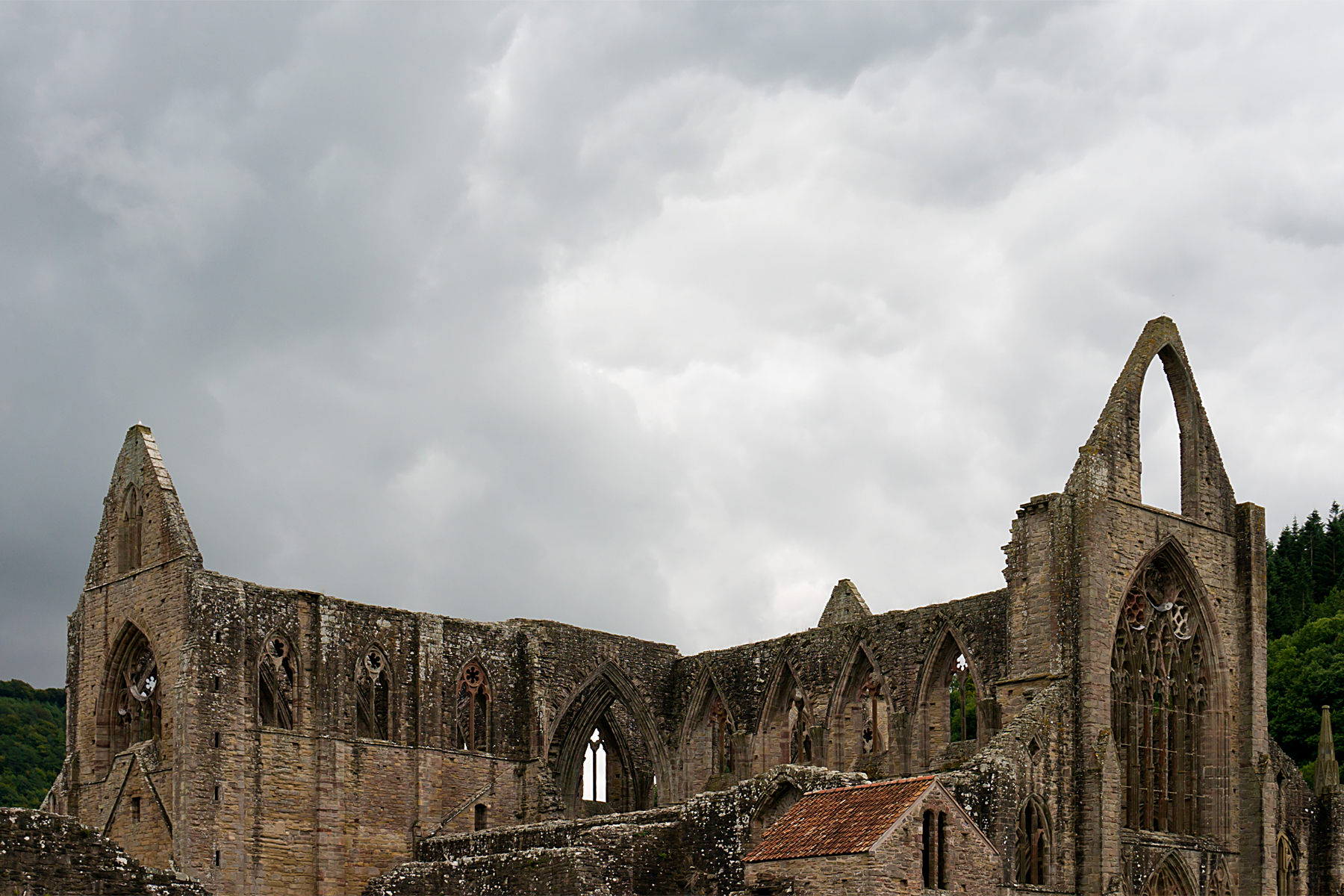
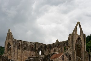
Straight over the Severn Estuary from Bristol, you hit the Wye valley.  It’s a steep, beautiful river valley, with England on one bank and Wales on the other.  The ruins of Tintern Abbey (above) dominate the Welsh side at the southern end of the valley.

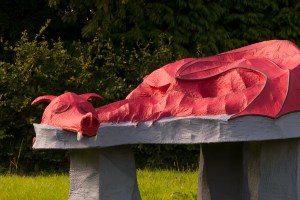
I lost track of how many times I crossed the border over the next couple of days.  Sometimes there were bilingual signs (that’s UK language number three, after Cornish and English) welcoming you to Wales.  The ‘Welcome to England’ signs were all monolingual.  Sometimes, there was a (thankfully) sleepy guard dragon instead of a sign:

20150904RTW_15
And sometimes, I only noticed that I’d swapped countries again when I saw the word ‘SLOW’ painted on the road.  If it just said ‘SLOW’, I was in England.  If it said ‘ARAF’ too, I was in Wales.

As I was approaching Welshpool, after a lovely-but-hilly day through the border area, I saw this signpost, which illustrates how hard it could be to remember how many border crossings had happened:

20150904xxx
It’s bilingual, so I know I’m in Wales.  Chirbury (2 miles down the road) is in England.  Church Stoke (another 2 miles down the road) is in Wales again.  I think that’s right, anyway.

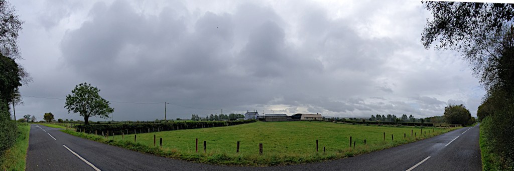
After Welshpool, I headed into North Wales (or at least, in and out of North Wales).  The hills had levelled out, as I was avoiding beautiful Snowdonia, where the big Welsh mountains are.  But there was one more hill I had to climb before I left Wales.

Because I wanted to see the canal boats in the sky.

20150905RTW_6
I’ve come to the unexpected conclusion that there aren’t enough aqueducts in the world.  Many of those that do exist just move water from one place to another.  But the Pontcysyllte aqueduct is a little more ambitious.  It takes boats across a valley.  A couple of hundred feet in the air.  Over a river.  Well worth the detour.

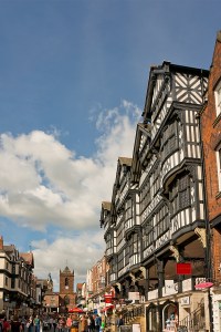
After the excitement of the aqueduct (boats go across it as fast as 2 mph!), it was back to the flatlands.  A quick nip through Chester, which was once a Roman fort, for controlling the Welsh border.  And a pause to appreciate what’s reckoned to be the world’s first ‘indoor shopping centre’ (note the medieval covered galleries on the buildings, to enable the wealthy shoppers to avoid the toilet buckets thrown from the upper storeys.  And the rain of course).

20150905RTW_13
At this point, I was only a few tens of miles from finishing the English section of the tour.  It was nearly time to depart the UK for a couple of days.  I just had the flattest day so far, across the plains of Lancashire, to go.

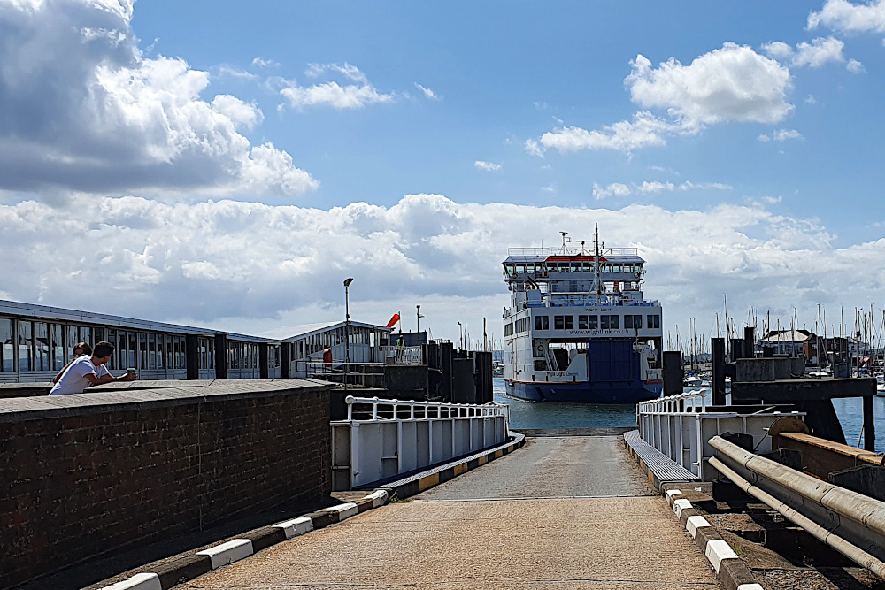
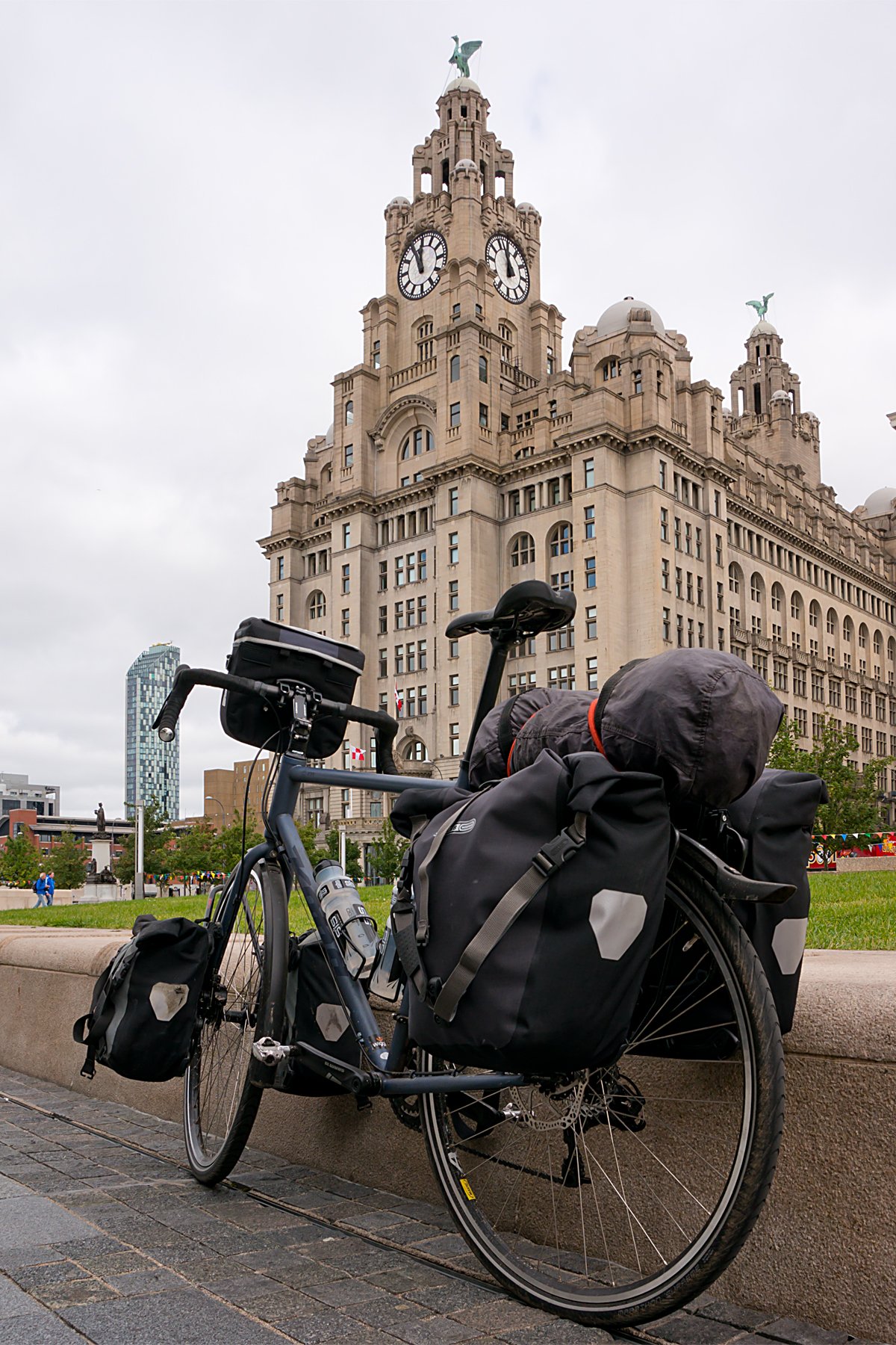
Liverpool is only a few miles up the road from Chester, and I trundled up the Wirral peninsular to take the ferry across the river into town on Sunday morning.  As you’d expect, no clichés were spared; The Beatles were playing on loop in the cafe while I waited for the boat to arrive, and they managed to play ‘Ferry ‘cross the Mersey’ twice over the PA on the boat during the short crossing.

20150906RTW_8
I’d not really seen much of central Liverpool before, but the waterfront, which saw so many migrants depart from Europe (that’s right – hundreds of thousands of migrants leaving Europe; who’d have thought?) for Canada and the US, is really impressive.  And the city was quiet as I headed north across the flat lands for Lancaster.

20150906RTW_13
Another Roman city, this time with one eye aimed at the Scottish rather than the Welsh.  The last major Roman outpost before Carlisle, which sits right on the border of the Roman empire at Hadrian’s Wall.  It’s a bit of a shame that my route takes me away from there, and the Lake District national park between them.  But there’s new stuff to see, and I’ve been there before.

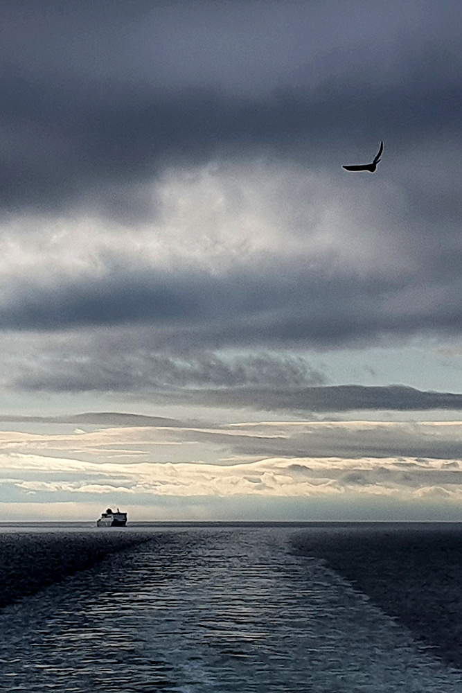
And so it was that I set sail yesterday, leaving England behind.  And leaving the UK behind, temporarily.

20150907RTW_6
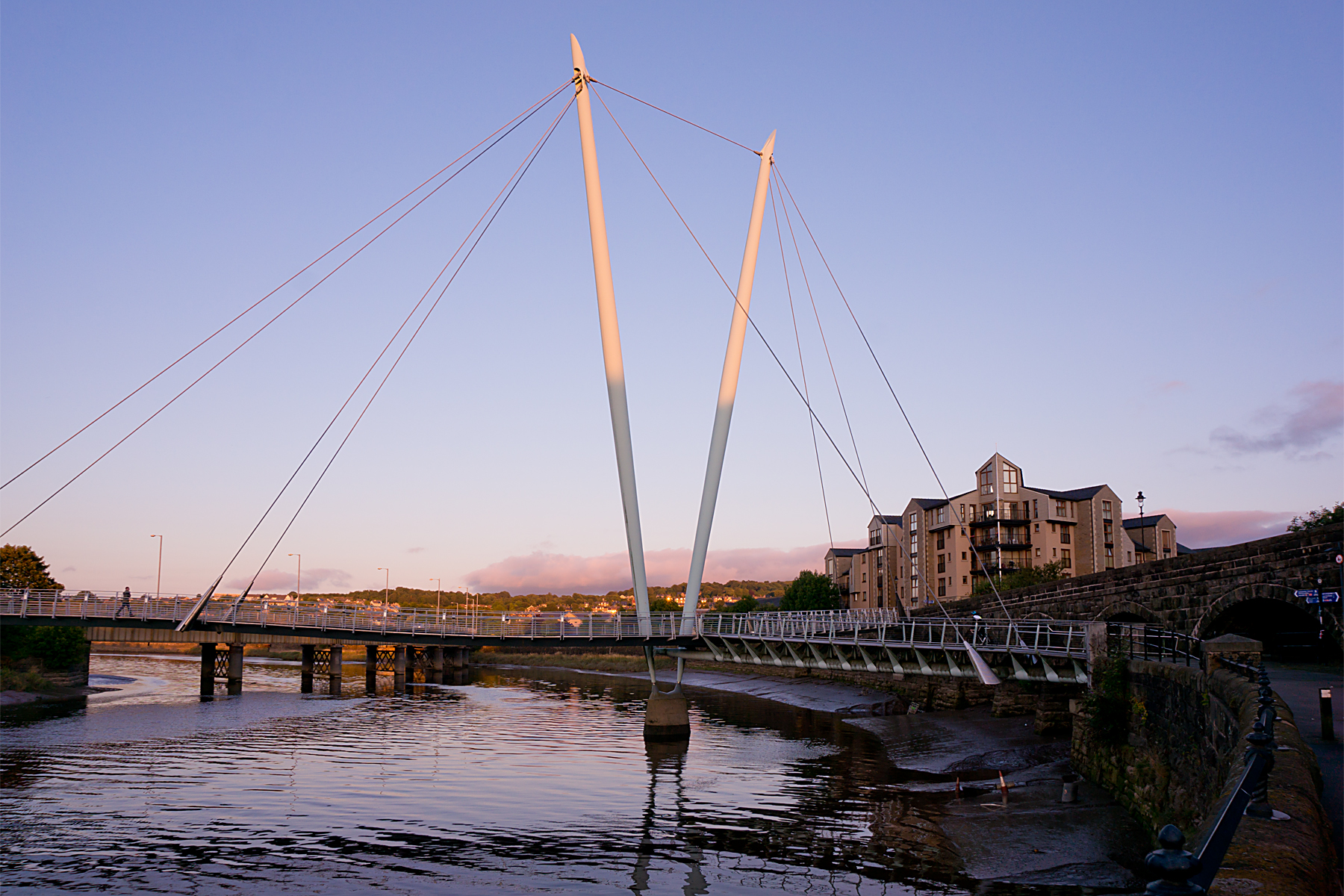
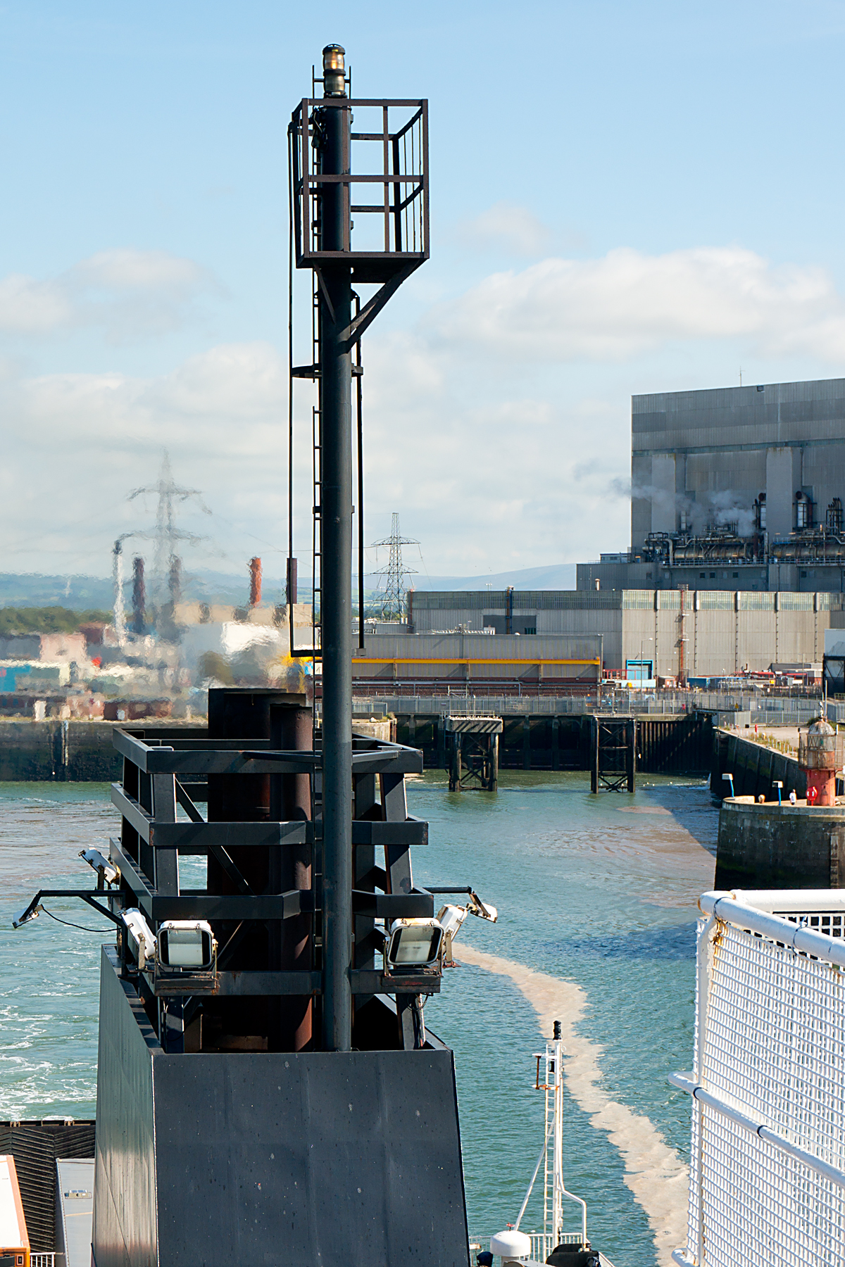
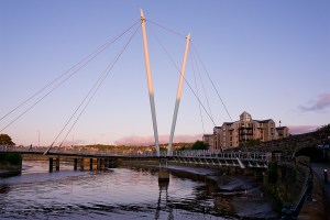
A short ride from Lancaster brings you to the small port of Heysham.  Journey’s end for the English and Welsh section of the ride.  To the north of the port, you get stunning views across the bay to the Lake District.  To the south you get nuclear power stations.  Lovely.

Across the water to the west are new places for me to explore.  Tomorrow (Weds), I’m on an early boat to Northern Ireland.  For today, I’m offshore on the Isle of Man.  Same language, same accents, same buildings.  Different money, different taxes, and a roaming mobile phone.

But more on that next time.

I crossed a lot of borders on my half-way round the world trip.  Lots of border guards taking things very seriously.  Lots of people stuck on one side or the other because of their luck (or lack of it) in where they happened to be born.

On this ride, I’ve carelessly criss-crossed a border that was fought over for centuries, and left my country without showing any ID.  These are borders that don’t (at least generally) kill any more.  Nobody storming the ferry or sitting desperately behind a fence peering in.

Funny things, borders.

Notes from a Multi-Millionaire

Regrettably, that’s a multi-millionaire with a poor connection – no photos on this post, I’m afraid.  Anyway…

There’s something strange about the money here in Indonesia.

It took me a while to work out that everywhere I’ve been so far (including my evening in Mexico, where I used US Dollars) has had a Sterling exchange rate of one-point-something to the pound.  The Euro, the Canadian, US, NZ and Australian Dollars.  All of them.  You kind of get used to it.

Then there’s the Indonesian Rupiah.  Currently at around 19,000 to the pound.  That’s a bit of a shock.  I’m a multi-millionaire!  But only after several visits to the cash machine; most of them only give out a million at a time…

Of course, the cash is only one small difference now that I’m very definitely out of ‘the West’.  This is the world’s most populous Muslim country, and there are many changes from the English-speaking, first-world countries that I’ve left behind.

Apart from the changed countryside, there’s now a significant language barrier to overcome, the prices are way down, and south-east Asian scooter madness is a new challenge to the touring cyclist.  Oh, and there are sometimes monkeys by the side of the road (much easier to spot than kangaroos!).

I was delayed getting on the road in Bali.  Not, for a change, because of the weather.  I was ready to hit the road on Friday morning, when I discovered that an old friend and work colleague had just arrived in Bali on holiday.  He was staying just a couple of miles up the road.  Clearly, a swift change of plan was required.  And, eventually, a day late (but a happy coincidence, a couple of Bintang beers and a pizza richer), I finally rolled out on Saturday morning.

Anyone who’s ever been to Bali will be able to tell you about the nutty traffic in the Denpasar area, especially the tourist areas around Kuta.  Indonesians theoretically drive on the correct (left) side of the road.  But the roads are very narrow, there are a lot of taxis, buses and vans around to block things up.  And swarms of scooters make up their own rules; no one way streets or traffic lights for them!

Once you get up the nerve to jump in, though, it’s not so bad to ride inside the maelstrom.  Although it’s chaotic, speeds are very low in towns, and it actually feels a bit more dangerous on the open road, with long-distance buses the main threat.

Anyway, I’ve been going gently for the last three days, allowing my body to readjust to riding after over a week off, and giving myself time in the shade and to get used to the traffic.  And I made it safely off Bali on Sunday, and onto Java by ferry.

Java greets you with a view of a giant volcano, and it looks like there are a few big hills to be had over here, certainly in comparison with the last weeks in Australia.  I’m going to have to re-learn how to climb…

Once I get used to egg-fried rice and tofu in chilli sauce for breakfast, and figure out how to use a squat toilet (tricky when you can’t squat without toppling over backwards), I think I’m going to like Indonesia.  The first big hills rear up tomorrow, and then I need to crank up the kilometres to make the most of my 30-day visa.  At my current rate, I’m not going to get all that far.

Now, how many millions can a man spend in a month?  I’ll keep you posted.  And hopefully, get some pictures together for next time.

Not a Ferry Good Birthday*, and Eating Australia

*Actually, it was fine, but I needed to use the awful pun somewhere…

I never thought there could be a downside to a strong tailwind, but there can.  I never thought that riding through a National Park in the sunshine would be anything other than idyllic, but it was.

My birthday (Friday) began well, as I woke up to a strong southerly wind, which would shove me effortlessly up the coast from Newcastle.  And it did.  For a while.

I was so chuffed with the tailwind that I decided to push on from my (extremely unambitious) target for the day.  I’d initially decided to give myself a super short day as a birthday present.  But I’ve learned never to waste a tailwind, especially a gale-force one, so I sailed gleefully onwards, to catch the ferry from Nelson Bay.

I got to Nelson Bay with twenty minutes to spare before the ferry.  And it was only lunchtime.  I’d be able to make ground at a superb rate.  Perfect.

The ferry was cancelled, due to my tailwind.  In fact, all the ferries that day were cancelled due to my tailwind.  Not so perfect.

20141212RTW_7
Still, the town was fairly large, and touristy, with a lot of yachts.  By dinner time, there was a throng of brightly (some might say less-than-tastefully) dressed tourists bouncing around.  Looked like it should be a decent evening for a couple of beers to celebrate being another year older.

They disappeared.  Nearly all of them.  Vanished.

The maximum number of other people in the pub was seven.  In the middle of town.  On a Friday night.  What manner of madness is this?

On the bright side, a gentle birthday evening meant that I didn’t need to use my ‘Emergency Hangover Day Off’, which I’ve been carefully holding in reserve (think it may still come in handy for Christmas or New Year, mind you).  On Saturday morning I was raring to go.  And the ferries were running.  Onwards!

20141213RTW_4
While the ferry rolled its way across to Tea Gardens, we kept a sharp look-out for dolphins.  Apparently, the bay’s residential pod means that they are spotted on 95% of trips.  Given my wildlife history thus far, I’m sure you won’t be super-surprised to learn that the nearest thing to dolphins we spotted was a bunch of kids in speedboats.  Still, dolphins are not the highest on my wildlife-spotting list.  I can live with the disappointment, as long as I can see a kangaroo at some point.  Or even a wallaby.

After leaving the ferry, eating a massive pie, and heading north again, I met Bruce and Marg. They are in the relatively early stages of riding around the edge of Australia, pausing only to climb the highest peak in each state.  They gave me some very useful advice on surviving the outback, having just done a chunk, and also provided me with a useful shortcut through the bush, which would save me time, save me climbing, and provide the Beast with a little off-road action.

20141213RTW_8
It was a track.  Not good enough to count as a dirt road, and closed to vehicles, but easy enough for the Beast to deal with.  I even heard some panicked crashing in the undergrowth, which I took to be kangaroos legging it from my rattling, crashing, and altogether not very subtle approach.  Didn’t see any, obviously.  But I was getting closer, and decided that dirt roads are something I needed more of.

Today (Sunday), after a night in the pleasant, but again, surprisingly empty, town of Forster, I resumed my northward progress.  I thought I might just be able to make Port Macquarie today, as there was a fair chunk of fast but dull highway involved.

Then I got distracted.  There was a dirt road through Crowdy Bay National Park, which would take me to Laurieton, just a short hop from ‘Port’.  Another 25km of quiet, pleasant meandering for the Beast, and another chance to nail that elusive first marsupial.

Or, as it turned out, a chance to get a real taste of Australia.

It tastes gritty, and slightly metallic.

A lesson learned about dirt roads.  If they have cars on them, you’re going to ingest the countryside as well as see it.  Cycling has a real knack of bringing you closer to the environment through which you travel…

20141214RTW_4
To round things off, the hostel which the internet had advertised in Laurieton doesn’t exist.  There is some debate locally about whether it ever did.  It is, however, a thoroughly agreeable town with a lovely harbour.  And a paragliding school who were kind enough to take me in for a small fee.

As I try to wash the flavours of Australia from my mouth with lashings of ginger beer, I think it’s fair to say that I won’t be rushing back to the dirt roads.  Anyway, I have a hot tip that golf courses are the way to go if you want to see kangaroos.

I’ll let you know how that works out…

Bulls, Cows and Wind

Things took an unexpectedly bovine turn on the way to Wellington.

Having hit my antipodal point (so no more geographical gibbering in that particular vein), I got lucky with the weather.  A bit of drizzle, but a lovely cross-tailwind pushing me fairly effortlessly down the coastal highway toward the capital at over 100km a day.

As I think I might have mentioned before, highway riding can be a bit tedious (between the occasional, traffic-related moments of panic).  And as my mind wandered a little, I began to notice the slogans on signs.  You know the sort of thing.  Where a town or a company pays an ad agency to come up with a few snappy words to capture the essence of what the town or company is about.

These are usually either rubbish, or entirely incomprehensible.  Or both.  American towns seem to specialise in the ‘the best little town until the next little town’, or ‘the home of someone you’ve never heard of’ type of thing.  In the UK, it would be even more mundane; ‘Fourth in the County Best In Bloom Competition, 1983’.  Companies tend to go for the corporate nonsense approach; ‘Your Innovative Lavatorial Solutioneers’, and that sort of guff.

The Kiwis seem to have taken a conscious decision to undermine the whole idea of these slogans.  And good on them.

There are two approaches that I’ve noticed.  The first is the ‘entirely true and obvious’ slogan, which must make marketing companies cry.  My favourite of these is NZ Bridges, who have come up with the magnificent slogan ‘We Build Bridges’.  That’s a company which has clearly decided that the whole thing is far more trouble than it’s worth.

And then there’s the town of Bulls.  Nothing unusual about the place, apart from a name that’s clearly begging for merciless teasing.  But they decided to get there first, and to take on the slogan war with lashings of self-deprecation.  This is likely to remain my favourite town name sign for quite a while:

20141110RTWThat’s right.  Not one, but two cattle-related puns on one sign.  And the town slogan; ‘A Town Like No Udder’.  Absolute genius.

I was still chuckling to myself about Bulls when I ran into cows.  The highway went up onto a long, very narrow bridge over some marshy land, and the local authorities had, kindly and unusually, built a cycle track across the fields to bypass it.  There was a sign at the start of the track which said ‘Open’.  I told you I was getting a bit observant with signs that day.  Anyway, it wasn’t.  Open, that is.  It was firmly closed, as a forty-five minute stream of cows blithered their brainless way from one field to another.  That’s a lot of cows on a chilly day, I can tell you.  But I did manage to freeze a few in mid-gallop as they panicked about my red jacket and shades.  They seem to run just like very fat horses.  Maybe there’s another new sport in there…

IMG_0372

After so much close-quarters bovine stupidity, it was a relief to roll into Wellington on Tuesday evening, knowing that the North Island was now pretty much behind me, and looking forward to seeing the supposedly gorgeous South.  I was given a bed, a feed and a quick night-time tour by Jos, Rocky and family, who very kindly looked after me despite the girls being in the middle of exam season at school.  Thanks again, all!

Wellington certainly lived up to its reputation for wind.  It was still blowing a hoolie after ten at night; everywhere else in NZ, the wind seems to die down after dark.  And it was still blustery (though surprisingly sunny) when The Beast and I hopped on the ferry south yesterday lunchtime (Wednesday).

The sun lasted until the ferry’s final approach to Picton, when the heavens opened, and a good old Kiwi shower lashed down.  It didn’t really spoil the view:

IMG_0379I decided to take it easy today, just to get used to the roads in the South, and to work out what a reasonable daily mileage is.  The downside of the beautiful hills, bays and roads is that progress is not especially fast.  And there are rather a lot of cafes around too.  Repeated doses of cake, coffee and beautiful views are not the most efficient cycling combo.  But they are all very, very nice.

20141113RTW_2There are, of course, harder days ahead.  I’ll be pushing across the hills for a while until things settle down a bit on the west coast.  The South Island looks stunning already, so I just need to adjust my riding to suit, hope the showers ease up, and relax and enjoy the ride.  It promises to be a good one.