roman

Roaming Roman Roads

London’s a big, big city.

As we’ve already established, riding a bike in most UK towns is not without its frustrations. So, as there was no real need to go through the biggest city of all, I’d always intended to brush London as lightly as possible.

20200801 1 Edit

But London’s been unavoidable for ages. You need to cross the Thames at some point, and most of the bridges are in town. And ever since Roman times, the capital has been the hub of the country’s major roads. All roads in England seem to lead to London.

Coming in towards town from Kent, I was running along the line of the main Roman route from the English Channel. A route so important that it was fortified and defended for centuries. Rochester’s impressive castle (above) guards the route’s crossing of the river Medway.

And coming out of London into Essex over the last couple of days, I’ve been pushing north-east on another major Roman road, which led out of the metropolis to the garrison town of Colchester. These old Roman routes have the great advantage of being built in mostly dead-straight lines, making them fast, if slightly boring riding. Although it’s always interesting to think that you’re following a route that’s been used for thousands of years, and imagine how many feet, hooves and wheels have passed this way before you.

20200802 2 Edit

I lived in London for a long time, so making distance was not the key point of the last few days. I had friends and family to catch up with (in a responsibly socially-distanced way, of course). As a result, the mileage has been down, and there’s been a certain element of consuming beverages which are, let’s say, somewhat counter-productive to athletic performance.

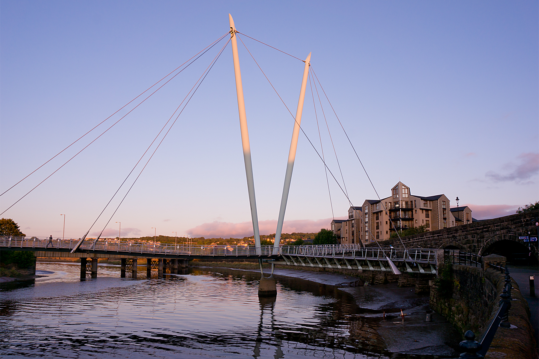
The other key issue was getting across the Thames. On Sunday, the ferry at Gravesend was not operating, but I was slightly surprised to discover that there’s a free shuttle service for bikes across the monstrous Dartford Crossing (pic above). Arrive at one end, find the magic telephone, and a grumpy driver appears to whisk you from Kent to Essex.

After which, a few uninspiring miles through London’s eastern suburbs took me to some drinks in Romford. A few more similar miles the next morning took me back out of Greater London, and I was soon heading for my final planned social stop in Essex, where I met the newest arrival in my friend’s family (providing a rare opportunity to add a kitten picture to a cycling blog).

20200803 1 Edit

Things are not always exactly as they seem, and despite being cute, the kitten in question is a proper little psychopath.

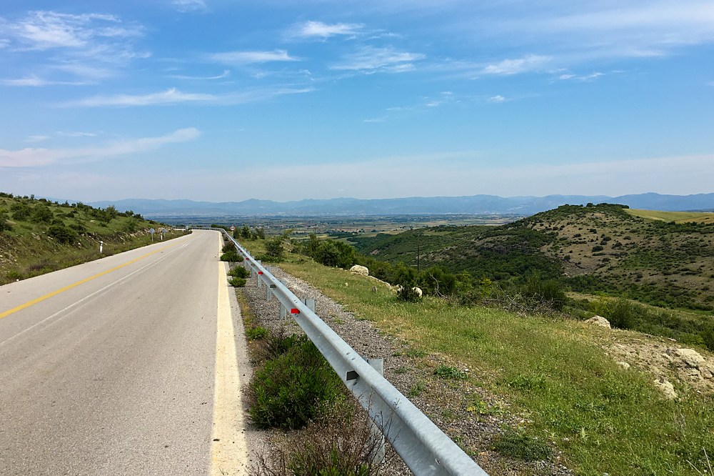
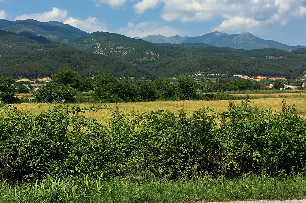
But things are sometimes exactly as they seem, and the landscape after Chelmsford has quickly begun to fit the East Anglian stereotype. I’m entering the UK’s flat lands, and the cliffs and hills of the south west and the south coast are a memory. Most of the eastern side of England is likely to be big skies, big fields, and an almost total lack of big gradients.

20200804 3 Edit

This will be great with tailwinds, and awful if there are headwinds. I’ll have to wait and see which combination I get as I head north into Suffolk and Norfolk.

I did notice one sign yesterday that there may still be some surprises ahead. Stopping by the side of the road for a map check, I was admiring the hand-painted advert below for a local honey producer.

20200804 2 Edit

Then I noticed that they seem to sell bears as well. I never quite got to the bottom of this, but I think that’s illegal in the UK, as well as impractical, and I’m surprised they are willing to announce this sort of thing by the roadside. Maybe East Anglia will be more interesting than the landscape suggests.

Anyway, the weather still seems OK, and the legs are still pushing the pedals around. I’m on a ferry across into Suffolk this morning (Wednesday), so I’ll find out pretty quickly…

Advertisement

No Drama

You can tell you’re back in Europe when the weather decides to play a large (and largely unwanted) role in your touring.

I was pretty sure, heading west from Alexandroupoli on Thursday, that I’d be able to update you on southern Bulgaria today.  The weather was nice, the road was good, and the hills weren’t too big and threatening:

IMG_1661 Edit

Xanthi on Thursday, then Drama on Friday, and Bulgaria on Saturday.  Not even stupidly long days.  Should have been easy.

And Thursday was fine, with the exception of a nagging headwind.  More of a head-breeze, really, so not a major problem.  The sun was out, the birds were singing (there seem to be a lot more birds here than in Turkey, for some reason), and all was well.

IMG_1669 Edit

I even found that ultimate mark of civilisation, a Lidl supermarket, when I got to Xanthi.  It was probably the busiest shop I’ve seen in Greece so far, which may be an indication that the Greeks’ economic woes are not yet all in the past.

My usual weather check that evening was where things started to go a bit sideways.  A huge blob of slow-moving rain was due to cover pretty much the whole of northern Greece (and southern Bulgaria and Macedonia) for about 36 hours from yesterday afternoon (Friday).

This was unfortunate.  You’ll be aware of my enthusiasm for getting completely soaked from previous posts.  And this blob of rain had all manner of online weather warnings attached to it, so it looked like the internet didn’t think it was just going to fade away, either.

IMG_1673 Edit

But you never know with weather forecasts.  It’s not like they’re never wrong, is it?  And this is Greece.  And it’s almost summer.  Surely it couldn’t rain that much?

So, proceeding according to plan, I twiddled away from Xanthi towards Drama.  But it was already clouding up by the time I hit the coast at the Beach of the Giant Pineapples (above).  It’s not really called that, by the way.  And I’m pretty sure it’s actually some sort of palm…

IMG_1684 Edit

I decided not to stop in Kavala, despite its impressive old town, complete with ancient castle and aqueduct (above – you might have to squint a bit to see the acqueduct).

I’d get as close as I could to Drama before the rain came.  And hope that I didn’t get stuck in no-man’s-land between the two big towns.  So, pausing only to have a quick look at the monastery at the top of the hill out of Kavala, I ploughed on.

IMG_1687 Edit
And duly got stuck in no-man’s-land.

Last night was a bit damp.  Today has been wet in an English summer sort of way – pouring with rain one minute, drizzling the next.  Miserable.  And not entirely helped by being stuck in the sort of village where a car driving down the main street would be a local talking point for weeks afterwards.

It’s my own fault.  In retrospect, I could have got to Drama in the dry quite easily, but it just didn’t feel that way at the time.

IMG_1691 Edit

If I’d been here a thousand or two years ago, things would have been different.  Where now there are just a couple of villages, separated by the fairly large hill above, there was once a Greek / Roman city called Phillipi (roughly; the spellings, and even the name, have not been particularly consistent over the years).

It was on the Via Egnatia, which was the Roman ‘motorway’ between the western and eastern parts of the empire.  And it was, by all accounts, a busy place; an administrative centre and a military site.  It was also, apparently, the first place in Europe where St Paul started spreading Christianity to the Romans.  Then it was abandoned.  Pretty thoroughly.  And used by the Ottomans as a quarry, according to Wikipedia.

So an interesting past, and a desolate and rain-soaked present.  I do hope that’s not some sort of metaphor for the rest of my journey!

It shouldn’t be.  The bike’s had a clean and fettle today, so I’ll be ready to head on to Bulgaria whenever the weather clears.  Which will hopefully be tomorrow.

If there are no more dramas.  Except for Drama, finally…

On the Edges

Borderlands are always interesting places.

Mountains plunging into the sea provide stunning landscapes.  Places where cultures bump into each other produce fascinating history (even where they also – all too often – provoke conflict).  It’s at the edges where things are most compelling.

I’ve been in border country since the last post, although I’ve only really appreciated it today.

IMG_1598 Edit
Bolu (above) was the last proper city in the hills.  Since then, it’s been small towns and smaller climbs (and some immensely fun downhills), as I’ve crossed from the mountainous interior of Turkey back towards the Sea of Marmara.

And the sea (together with the Aegean, immediately to its south, and the city of Istanbul at its northern end) has been a cultural crossroads since people started writing history.

So the borderland between the hills and the coastal areas is also the edge of a fuzzy cultural boundary.  Although I’m not in Europe yet, things are changing already.  Up in Bolu, things still felt very Asiatic, with the fairly mono-cultural cityscape of mosques, minarets and square buildings dominating.  Within a couple of hundred kilometres, things are much more cosmopolitan.

But the noticeable changes had already begun at Bolu.  Just a few kilometres east of town, my road had been joined in its valley by a motorway.

IMG_1600 Edit

That’s not just a road with a designation beginning with ‘M’, as was the case in the former Soviet countries.  It’s a proper, European-style motorway (the main drag between Ankara and Istanbul).  The sort of road where bikes are not allowed.  It’s the first road I’ve seen for months that I can’t ride.

I know that this will be the new normal from here on (and that it’s my normal normal in any case).  But I’ve got so used to rolling along whichever road I want that it feels like a big change.  So does the fact that the chocolate bars in petrol stations have suddenly become the same as at home, where further east, they are all Turkish versions.

I think my perspective might have got a little skewed somewhere along the way…

There are still plenty of reminders that I’m not home just yet.  It’s pretty certain that a flatbed van in Europe wouldn’t be allowed on the road with a ton of apples tied loosely on the back with string.

But that appears to be what caused me a twenty minute delay this morning:

IMG_1621 Edit

Thankfully, things got slightly more organised after the big guy in the red shirt started waving his arms and shouting.

This afternoon (Tuesday), the cultural variety and complexity of this area became clearer.  I dropped down to lake Iznik.  I’d been trying to get to a town on the edge of the lake, which is marked up on Google Maps as ‘Nicaea’.  And I’d been getting increasingly concerned that I’d not seen it signposted.  I was just following signs for ‘Iznik’, and hoping that Nicaea would become obvious.

It turns out that Iznik and Nicaea are the same place.  Google uses the Greek name for some unfathomable reason.  Although that was the town’s name when it was established (by a Greek mythological character, apparently), it’s been Iznik for ever as far as the locals are concerned, and Google should probably have caught up by now.

IMG_1628 Edit
But it’s not just the names of the town that show how many cultures have had a say in this region over the full course of recorded history.  The city walls, which I casually parked the bike against on the way into town, were originally built by the Ancient Greeks.  The local tourist guide notes, sadly, that ‘only Roman and Byzantine construction remains’.  And that’s still not counting the role of this area of Turkey in the birth of the Ottoman Empire.

There’s an intimidating amount of history in this part of the world, on the edge of so may empires.

I’m going to have a day off tomorrow (Wednesday) to have a proper look around Iznik, and digest some of this stuff.  It’s only about half a mile across, but has ancient churches, mosques, Roman arches, and so on.  It even has a mosque called the Ayasofya, which used to be a church.  Just like Istanbul.  But much, much quieter.

20160510RTW_6 Edit
I’m happy I can get all the layers of history around here, as I’ve decided not to head to the metropolis on the Bosphorus.  I could probably have got to the outskirts today, and entered European Turkey tomorrow.  But I’ve been to Istanbul before, and I’m not quite done with the Asian continent just yet.  And I’ve heard a lot of nightmarish stories about the Istanbul traffic.

Instead, once I’ve had my rest, I’ll head along the south of the Sea of Marmara.  It’ll take an extra few days to get to Europe, but I should see some more interesting places, and enjoy the coastline.

There’s one other, slightly fuzzy edge which merits a quick mention (in my book, at least).  And that’s the edge of space.  This is usually considered to be the Karman Line, and is 100km (62 miles) above the surface of the Earth.

Why is the Karman Line of any interest?  Because, yesterday, while grinding up yet another incline, I reached 100,000 metres (or 100 km) of vertical gain on the round-the-world trip.  I’ve climbed to the edge of space on a bicycle with bags hanging off it.

No wonder my legs need a break…

Border Country

UK Tour Stage 2 (Bristol to Heysham, Lancashire):
Cycling Distance – 385 km / 239 miles
Ascent – 1949m / 6393 ft (0.22 times the height of Mount Everest)
Toughness Index – 50.66 (100 = Really Tough)

Total UK Tour Cycling Distance – 725 km / 450 miles
Total UK Tour Ascent – 4861m / 15944 ft (0.55 Everests)

Borders are funny things.

Funny in the sense of ‘peculiar’.  And sometimes funny in the sense of ‘not funny at all’.

They’re just (usually squiggly) lines on a map.  Artificial, squiggly lines, by and large.  Created almost at random, by geography, by prehistoric tribal areas, by war, by shifting royal alliances, or by the straight, ruled lines of an administrator’s pen.  There’s often no good reason why they cut through one field, rather than the one next door.  And there’s usually no significant difference between the people on one side and the people on the other.

But then we, our governments, and our media define ourselves against (and it’s pretty much always against) the people on the other side of the imaginary line.  We are good.  ‘They’ are bad.  Our religion is right.  ‘Theirs’ is wrong.  We go overseas to work.  ‘They’ come here to steal our jobs.  We retire abroad.  ‘They’ sponge off our healthcare system.  ‘They’ need to be controlled, or we’ll be ‘swamped’ by a ‘swarm’.

So we build the borders higher, and wonder why desperate people turn to smugglers to help them escape from death or persecution.  ‘They’ must be stupid, too, mustn’t they?  And we scratch our heads in puzzlement, and watch ‘them’ die against our fences.  For years.

Until a picture of a dead child on a Turkish beach reminds us that ‘they’ might be people, just like us, after all.  I wonder how long that little glimmer of truth will last…

As you can probably tell, riding long distances on a bike can give you a bit too much time to think.

20150904RTW_6
Thankfully, the border I was concerned with as I rolled out of Bristol was the border between England and Wales.  It’s been around pretty much since the Romans left Britain, which is quite a while.  The Anglo-Saxons, the English and the Welsh have all fortified chunks of it over the years.  And its history is just as messy as any other border.  Hundreds of years of keeping ‘them’ out of England.  Violently.  But the last couple of centuries have been a bit quieter.

Straight over the Severn Estuary from Bristol, you hit the Wye valley.  It’s a steep, beautiful river valley, with England on one bank and Wales on the other.  The ruins of Tintern Abbey (above) dominate the Welsh side at the southern end of the valley.

I lost track of how many times I crossed the border over the next couple of days.  Sometimes there were bilingual signs (that’s UK language number three, after Cornish and English) welcoming you to Wales.  The ‘Welcome to England’ signs were all monolingual.  Sometimes, there was a (thankfully) sleepy guard dragon instead of a sign:

20150904RTW_15
And sometimes, I only noticed that I’d swapped countries again when I saw the word ‘SLOW’ painted on the road.  If it just said ‘SLOW’, I was in England.  If it said ‘ARAF’ too, I was in Wales.

As I was approaching Welshpool, after a lovely-but-hilly day through the border area, I saw this signpost, which illustrates how hard it could be to remember how many border crossings had happened:

20150904xxx
It’s bilingual, so I know I’m in Wales.  Chirbury (2 miles down the road) is in England.  Church Stoke (another 2 miles down the road) is in Wales again.  I think that’s right, anyway.

After Welshpool, I headed into North Wales (or at least, in and out of North Wales).  The hills had levelled out, as I was avoiding beautiful Snowdonia, where the big Welsh mountains are.  But there was one more hill I had to climb before I left Wales.

Because I wanted to see the canal boats in the sky.

20150905RTW_6
I’ve come to the unexpected conclusion that there aren’t enough aqueducts in the world.  Many of those that do exist just move water from one place to another.  But the Pontcysyllte aqueduct is a little more ambitious.  It takes boats across a valley.  A couple of hundred feet in the air.  Over a river.  Well worth the detour.

After the excitement of the aqueduct (boats go across it as fast as 2 mph!), it was back to the flatlands.  A quick nip through Chester, which was once a Roman fort, for controlling the Welsh border.  And a pause to appreciate what’s reckoned to be the world’s first ‘indoor shopping centre’ (note the medieval covered galleries on the buildings, to enable the wealthy shoppers to avoid the toilet buckets thrown from the upper storeys.  And the rain of course).

20150905RTW_13
At this point, I was only a few tens of miles from finishing the English section of the tour.  It was nearly time to depart the UK for a couple of days.  I just had the flattest day so far, across the plains of Lancashire, to go.

Liverpool is only a few miles up the road from Chester, and I trundled up the Wirral peninsular to take the ferry across the river into town on Sunday morning.  As you’d expect, no clichés were spared; The Beatles were playing on loop in the cafe while I waited for the boat to arrive, and they managed to play ‘Ferry ‘cross the Mersey’ twice over the PA on the boat during the short crossing.

20150906RTW_8
I’d not really seen much of central Liverpool before, but the waterfront, which saw so many migrants depart from Europe (that’s right – hundreds of thousands of migrants leaving Europe; who’d have thought?) for Canada and the US, is really impressive.  And the city was quiet as I headed north across the flat lands for Lancaster.

20150906RTW_13
Another Roman city, this time with one eye aimed at the Scottish rather than the Welsh.  The last major Roman outpost before Carlisle, which sits right on the border of the Roman empire at Hadrian’s Wall.  It’s a bit of a shame that my route takes me away from there, and the Lake District national park between them.  But there’s new stuff to see, and I’ve been there before.

And so it was that I set sail yesterday, leaving England behind.  And leaving the UK behind, temporarily.

20150907RTW_6
A short ride from Lancaster brings you to the small port of Heysham.  Journey’s end for the English and Welsh section of the ride.  To the north of the port, you get stunning views across the bay to the Lake District.  To the south you get nuclear power stations.  Lovely.

Across the water to the west are new places for me to explore.  Tomorrow (Weds), I’m on an early boat to Northern Ireland.  For today, I’m offshore on the Isle of Man.  Same language, same accents, same buildings.  Different money, different taxes, and a roaming mobile phone.

But more on that next time.

I crossed a lot of borders on my half-way round the world trip.  Lots of border guards taking things very seriously.  Lots of people stuck on one side or the other because of their luck (or lack of it) in where they happened to be born.

On this ride, I’ve carelessly criss-crossed a border that was fought over for centuries, and left my country without showing any ID.  These are borders that don’t (at least generally) kill any more.  Nobody storming the ferry or sitting desperately behind a fence peering in.

Funny things, borders.