Older and Wiser?

I’ll be yet another year older next weekend.  Or at least, the numbers will show that to be the case.

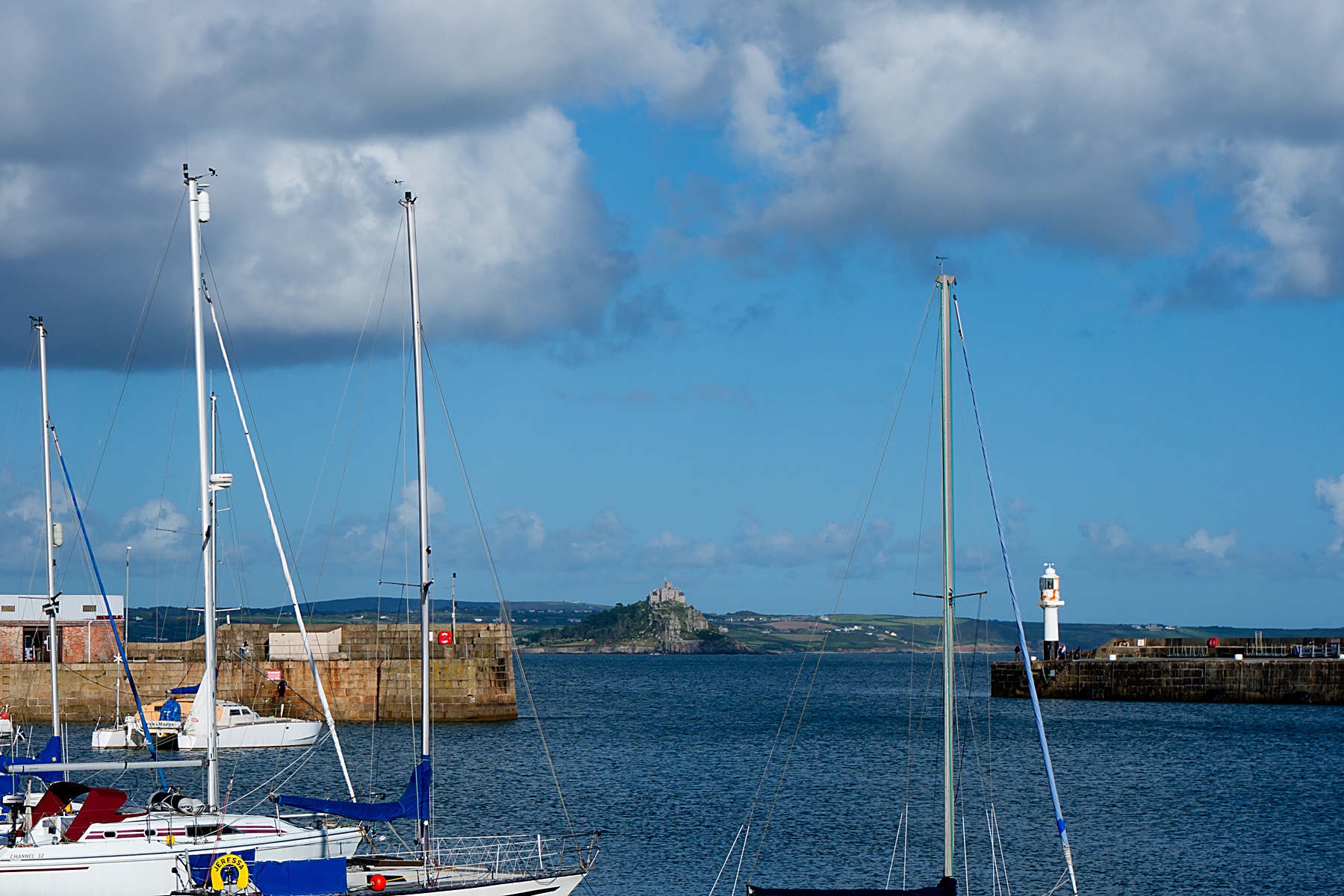
On that same date in 2014, I was rolling out of Newcastle, New South Wales, on the original Beast, having started riding up Australia just a few days earlier.

It was day 152 since I’d left London, and although I’d not yet covered half of my projected round-the-world distance, it felt like I was heading home already.  And things were going pretty well.  I’d ridden across North America with no worries, after all.  How hard could it be to get to London from Australia?

20141213RTW_8

Time moves on, and the experiences of the year since have made a mark.  Both literally, in terms of visibly broken bones, and metaphorically, in terms of some massively profound lesson-learning (you may decide after the next couple of paragraphs that this is overstating things, just a bit).

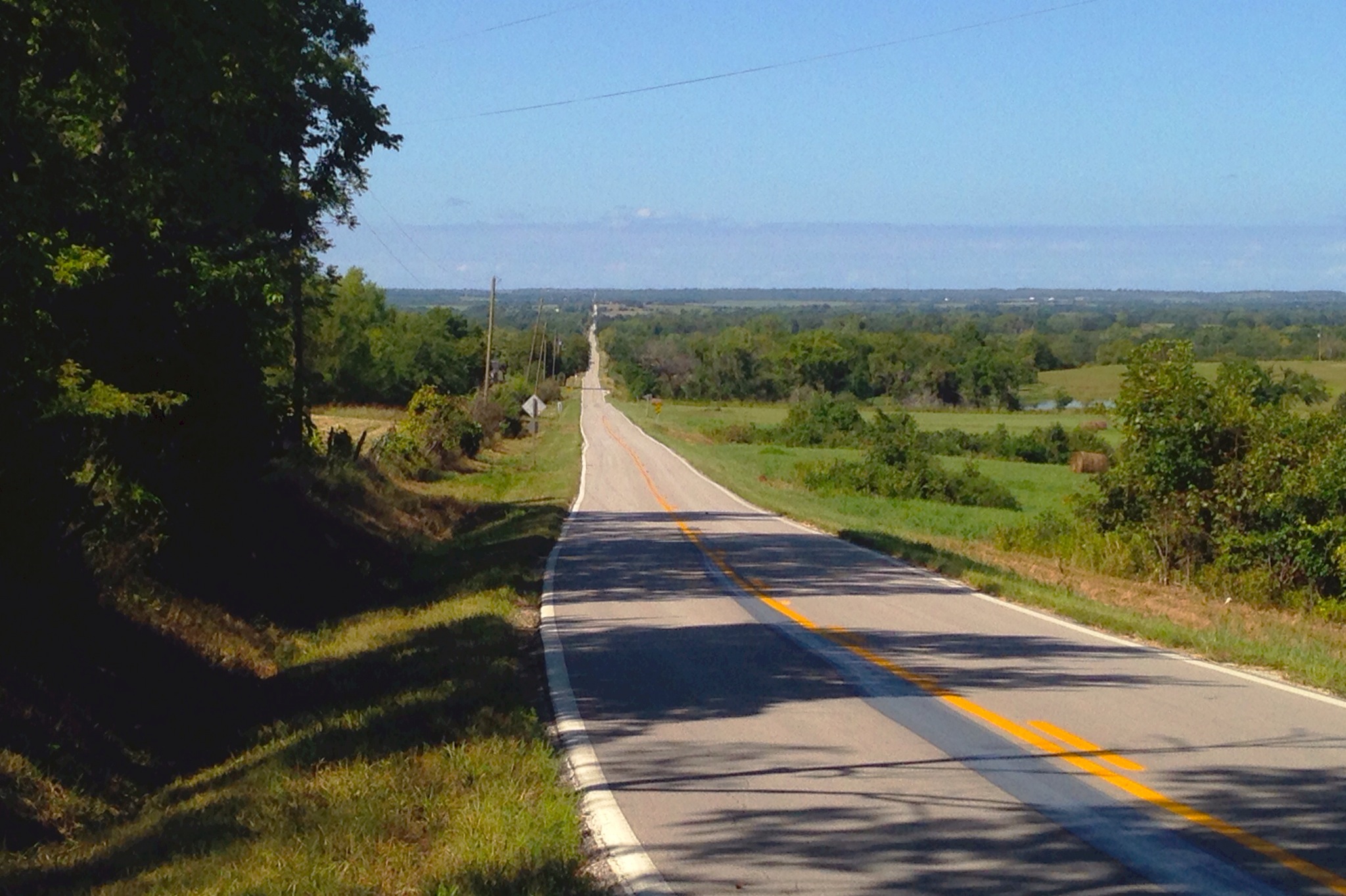
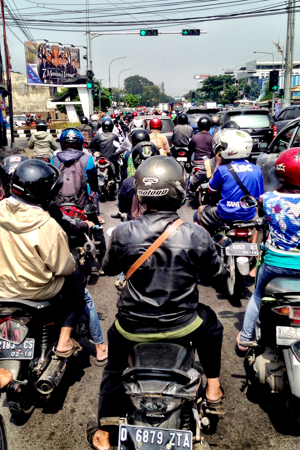
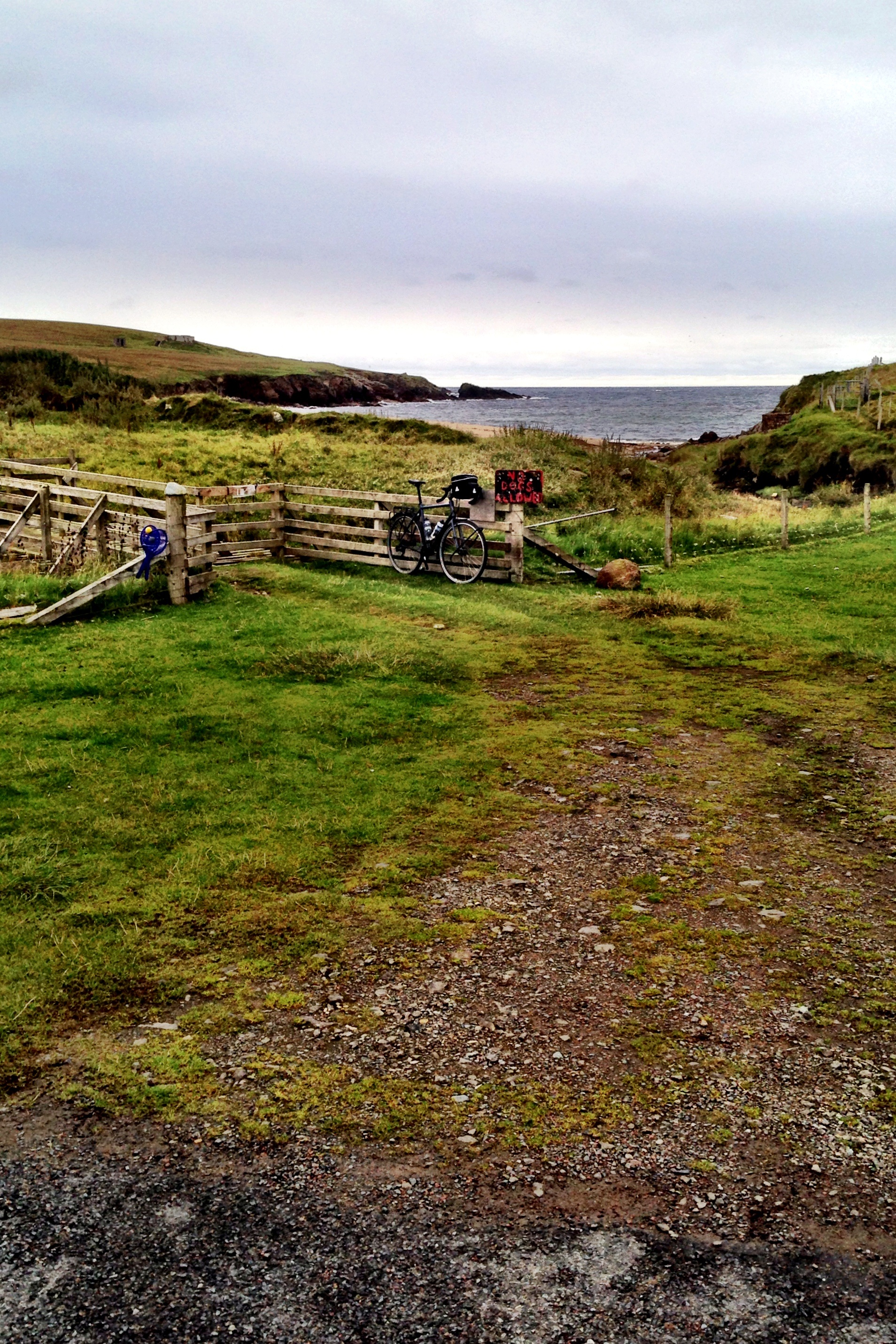
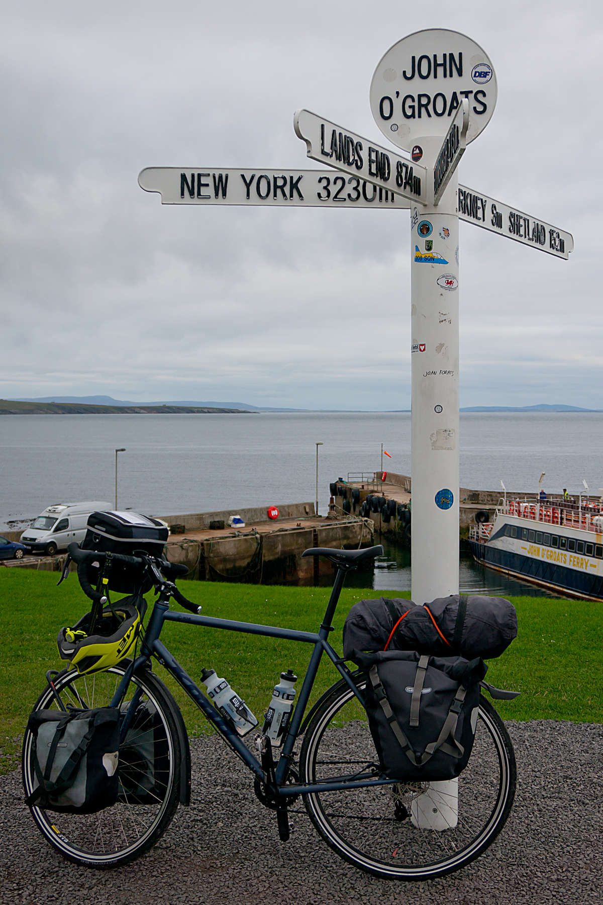
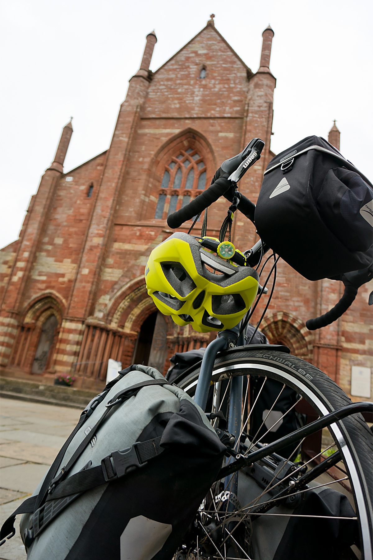
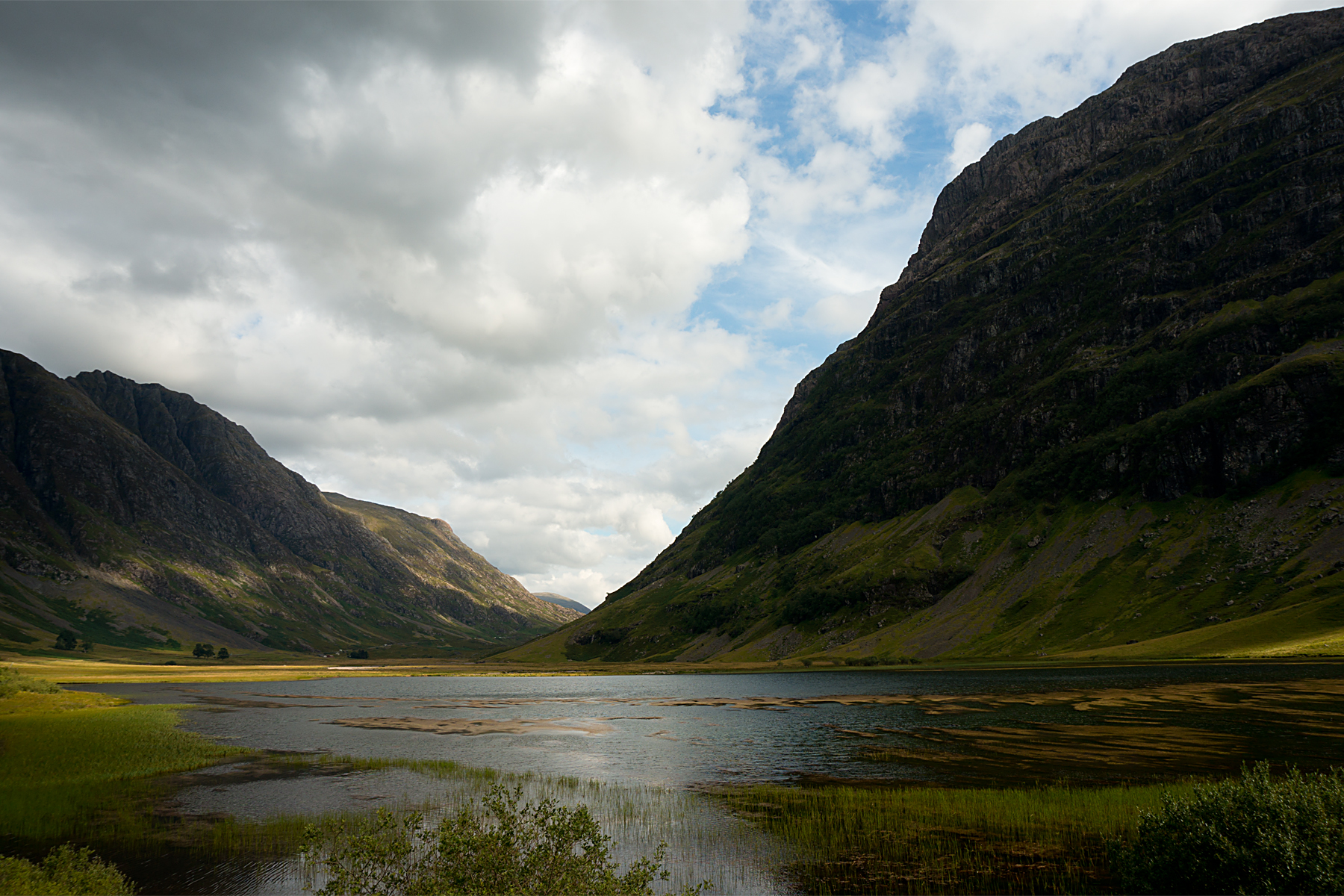
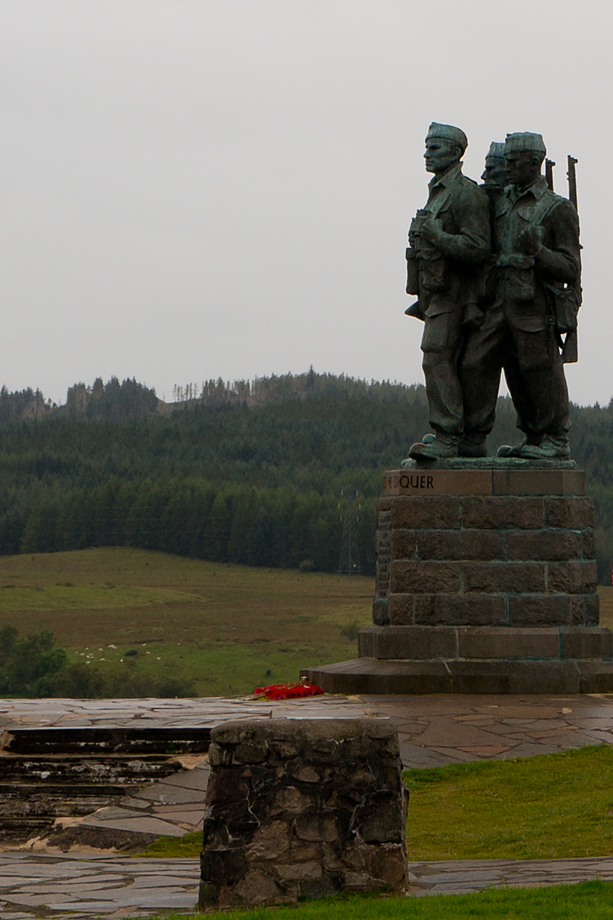
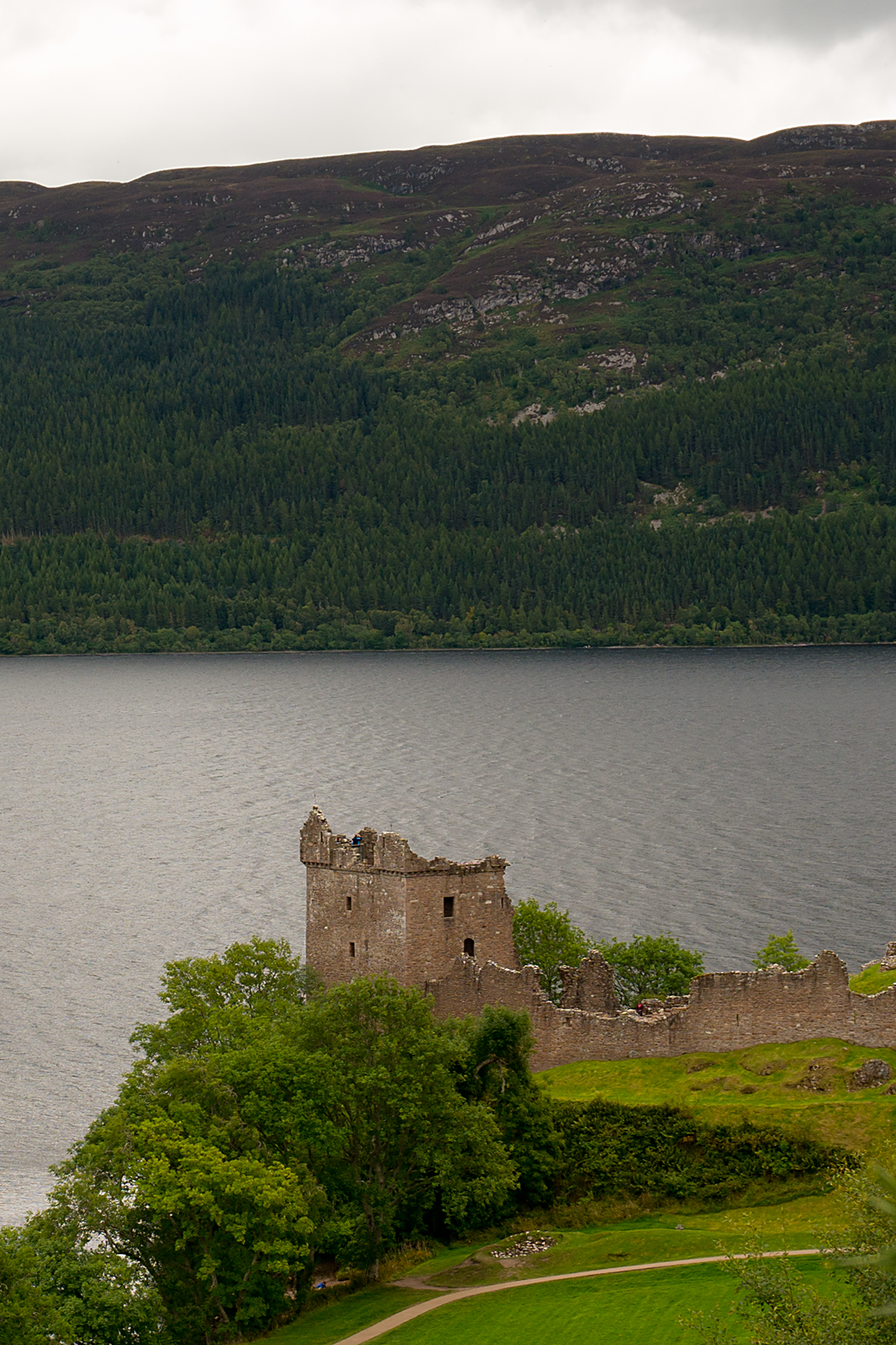
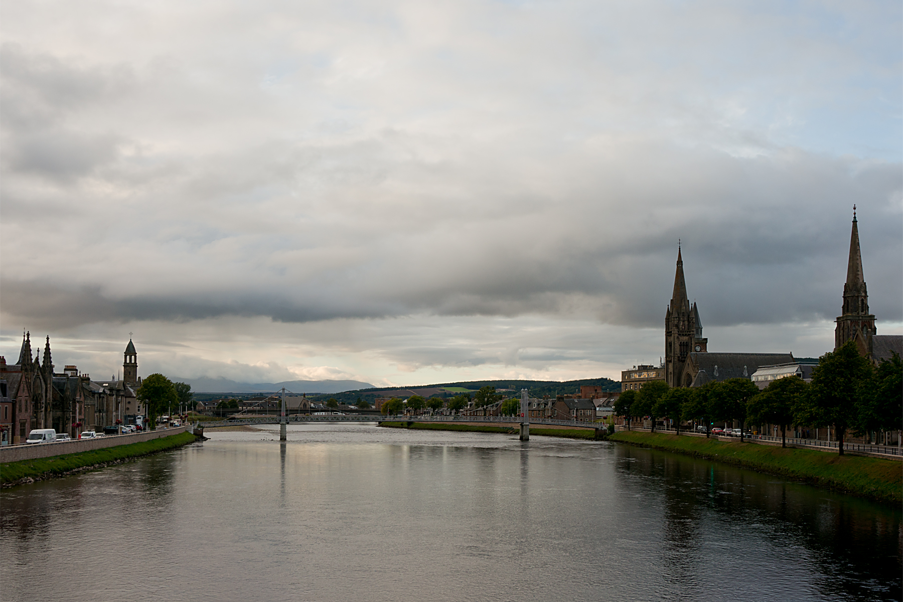
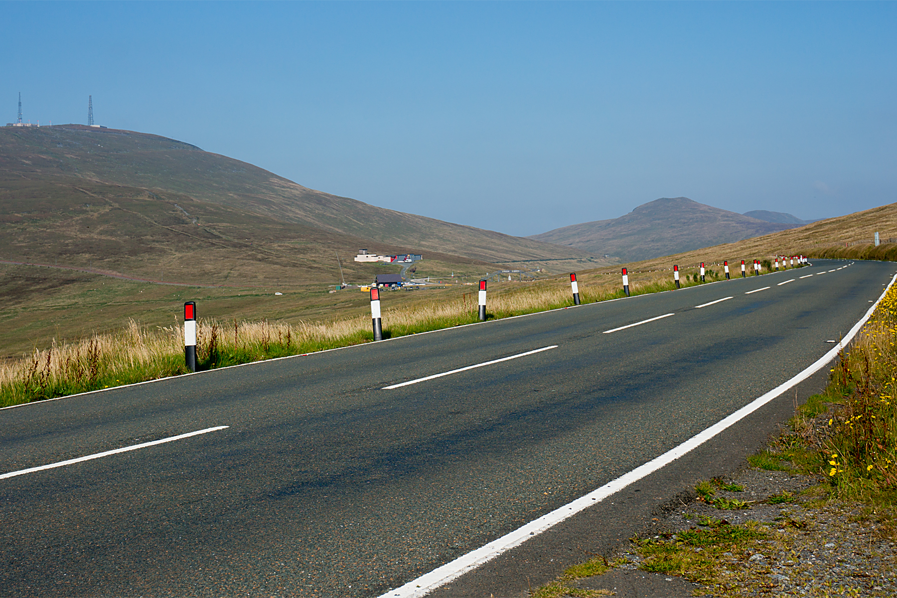
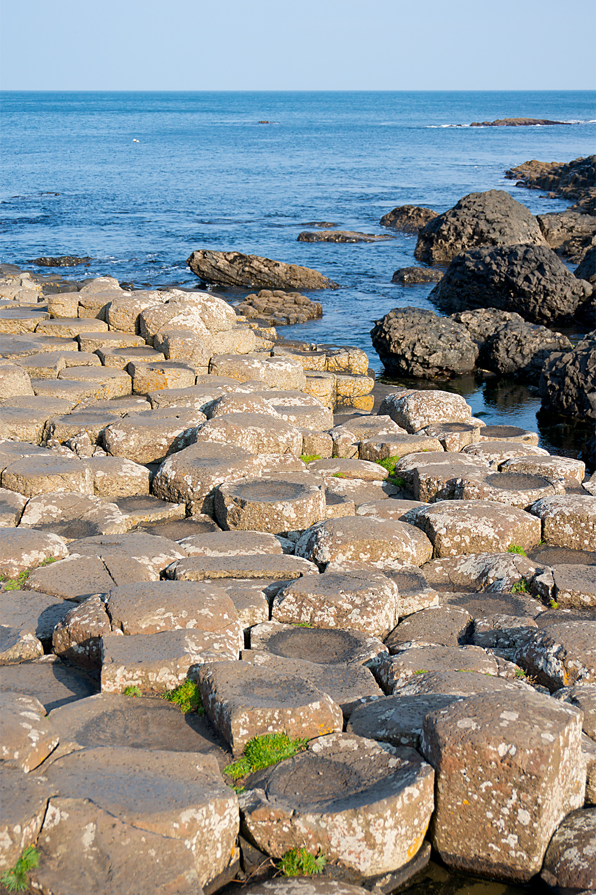
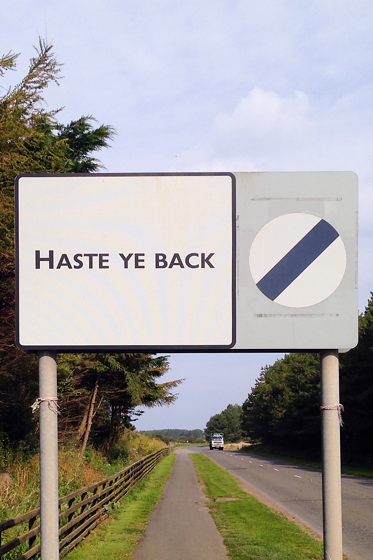
For example, I now know that riding a bicycle solo across the outback to Darwin in the wet season would have been a stupid idea.  It was hard enough riding fairly close to what the Aussies claim to be civilization.  I now know why Thailand’s apparently benign main roads are so iffy for cyclists.  I even now know that Scotland’s culinary reputation as the home of deep-fried-everything is a little harsh (you can get sandwiches up there, too…).

Perhaps most profoundly, sitting around waiting for my shoulder and back to heal this summer allowed me to revisit some reading.  Reading is a particularly risky pursuit, as there’s a perpetual danger that you might learn something.

I re-discovered a definition of madness from the famous cyclist, Albert Einstein: madness is doing the same thing over and over, while expecting a different outcome.  He was, by all accounts, a fairly clever chap.  And he clearly meant that trying to ride another eight or nine thousand miles will just end in another serious traffic accident (or a similar disaster, possibly with more fatal consequences).  This was obviously something that needed due consideration.

So where’s all that hard-earned wisdom got me?  Well…

IMG_0580 Edit

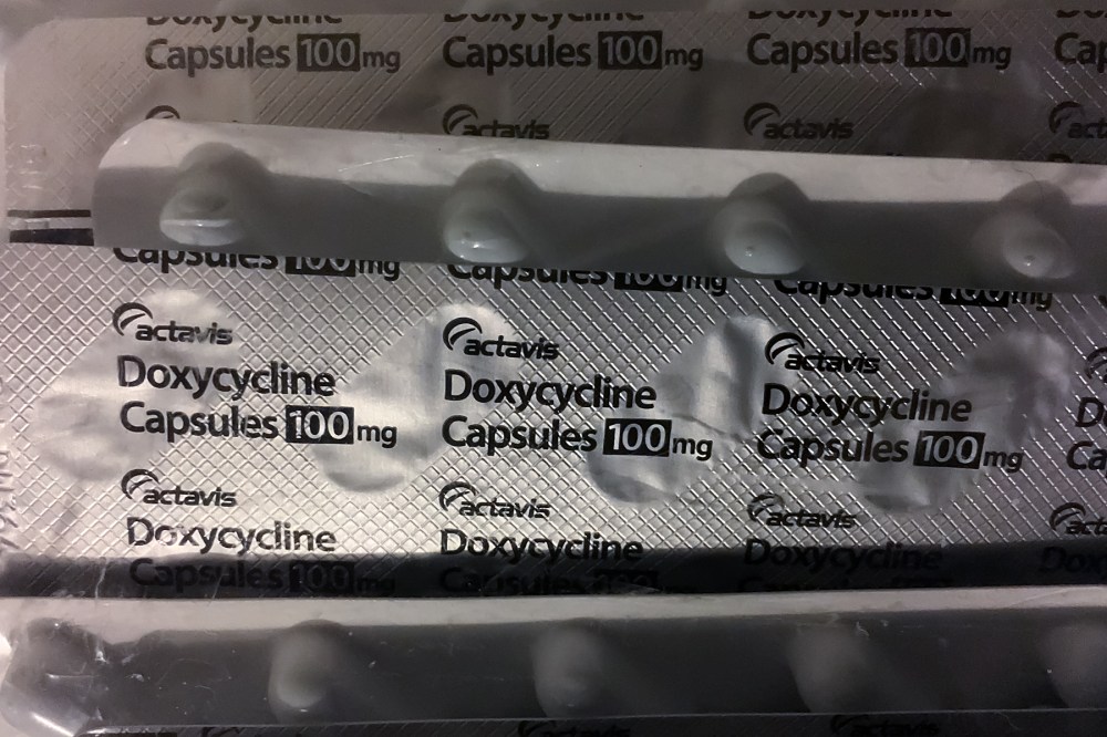
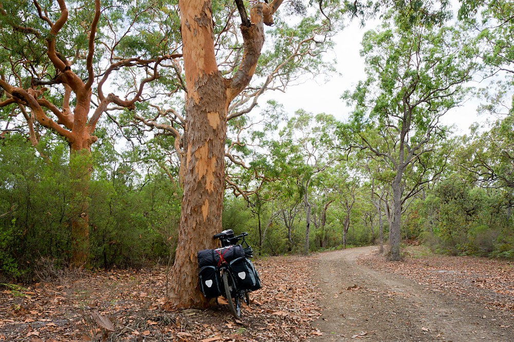
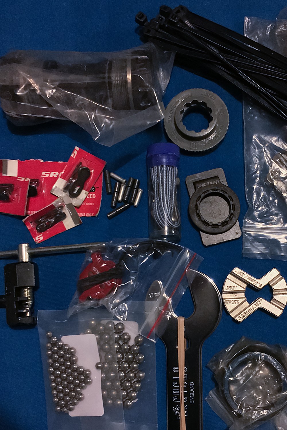
There’s a massive bag of anti-malarial tablets in my room.  And a mini-pharmacy in my first aid kit.  There are tools, spare parts, bearings, tyres and tubes, duct tape and kevlar emergency spokes spread around, seemingly at random (though actually – obviously – carefully filed and ready for packing).

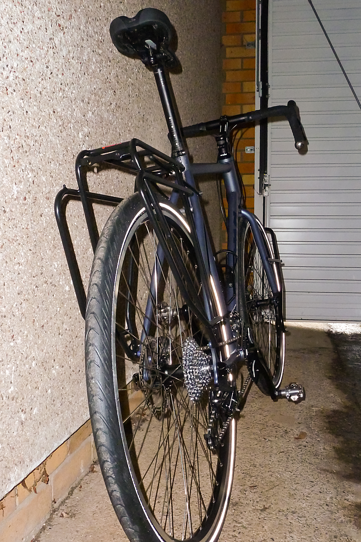
Various potions are ready for embarkation: grease, mosquito repellent, chain lube, toothpaste, sunscreen, Loctite.  There are freshly-printed visas for exotic places in my passport.  There’s a large cardboard bike box waiting to accommodate a newly-serviced touring bike.

You don’t need to be a genius to work out what’s going on here.

There’s a seat on a plane waiting for me at London Heathrow on Tuesday morning.  And there’s very little between me and it (other than a little last-minute panic shopping, sock washing, and a horribly early start to get to the airport on time for the usual security hassles).

IMG_0576 Edit

Vietnam is calling, and the start of the road home.  After a week wandering around Hanoi and Ha Long Bay as a ‘proper’ tourist with my friend Matt, who’s kindly agreed to see me off.

I’ll be resetting the odometer at 14931 km (9277 miles), with a similar distance still to cover to get back to London.  Probably eleven countries to get through before I hit Europe (and the exceptionally over-rated ‘comfort zone’) again.  Maybe another fifteen or so (thankfully much smaller) countries once I’m back on my home continent.  And two countries to warm up before I hit Thailand to resume battle with their heavy goods vehicles.  About another eight months of sore legs, sweat, forests, deserts and mountains.

IMG_0572 Edit

I’m going to use part of my ‘tourist week’ before the riding kicks off to get my head around a slightly unpalatable fact: that I’m still only halfway through the round-the-world bike ride that I was halfway through at the end of March.  My summer reading indicates that this probably has something to do with relativity.  I think.

Anyway, I’m close to being finished with Einstein now.

Except that…  Ignoring Albert’s definition of madness, which was obviously not intended to apply to long bike rides (that’s my position, and I’m sticking to it), he did get some stuff indisputably right.

Einstein

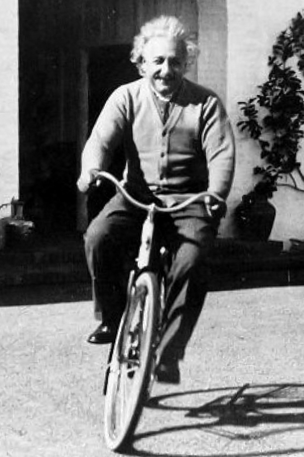
I did say he was a famous cyclist, didn’t I?  Or, at least, famously a cyclist.  But he also dropped the following pearl, which is this year’s contribution to my dwindling collection of wisdom.  “Life is like riding a bicycle.  To keep your balance, you must keep moving.”

I couldn’t agree more with that.  In life, and on the bike, it’s time to get moving again.

Next stop, Vietnam…

Stuck Between the Past and the Future

Another month and a bit ticks by…

It’s sixteen months (almost to the day) since I pedalled out of London to ride around the world.  Seven-and-a-half since my unfortunate vehicular mishap in Thailand, thirteen countries and 9300 miles later.  Two-and-a-half since I began my ‘comeback’ tour of the UK.  And one-and-a-half since I got home from the far north of Scotland.

I’m getting older and fatter.  Rapidly.

Summer’s long gone, and the UK’s experiencing the usual downsides of its location; constant streams of rain and wind whipping in off the Atlantic.  The clocks have gone back, so it’s dark by four thirty in the afternoon.  And getting darker every day.

Having cheated the gloom and damp of the last English autumn and winter by cunningly being on the other, sunnier, side of the globe, it’s especially depressing.

But…

The passage of time does have some advantages.  At the moment, it’s bringing me closer to resuming the round-the-world trip.  Much closer.

IMG_0239
For the last eighteen months, most of my days have looked something like the picture above.  In just a bit over four weeks, they will again.  The road’s calling.

In truth, there’s a fair chance that the road involved will look more like this, initially at least:

IMG_0471
Because I’ll soon be back in South-East Asian Scooter Madness.  I’m flying out to Vietnam in early December.  I’ll spend a few days acclimatising to the heat (I rode into it slowly last time, rather than being dropped straight into the sauna).  Then I’ll be on the road to Laos, then back to Thailand, then (assuming I get the visa sorted) to Burma / Myanmar.  Then India.  And then onwards.

This is the rough idea of how it’s planned to go at the moment:

This obviously depends on all the usual things.  Continued health, fitness, bike road-worthiness, visas, natural disasters and the weather.  Oh, and careful avoidance of physical contact with goods vehicles.  I might need to go south, rather than heading for the Silk Road through Central Asia.  It’s even possible that Iran might start letting Brits travel independently again.  Who knows?

But whichever way it goes, I should be back in the sun soon, and back on the road.  And back to peppering you with far more regular updates than has been the case of late.  The future’s good, isn’t it?

Fingers firmly crossed…

Touring the UK – Map and Stats

After hurtling (relatively speaking) back to Bristol from the top of Shetland in a mere 30 hours, by bike, ferry, train, and bike again, I’ve had a few days off to relax.

And now’s the chance to get a bit of reflection in on the UK tour, before planning begins in earnest for resuming the round-the-world trip in a couple of months (that’s looking like early December now, by the way).  From the Isles of Scilly to Shetland, it was a fair ride, with loads to think about along the way.

20150904RTW_1

I’ll put up a full post-mortem on what went well, what I’d have done differently, and so on, fairly shortly.  It’s also just possible that I’ll finally get around to updating the rest of the pages here to more accurately reflect what’s actually been going on for the last six months or so.

But for now, this is just the bare-bones summary (via a map and some statistics) of my little tour of the length of the UK.

MAP:

Hopefully, the Google maps gremlins of a few weeks ago have given themselves some time off.  This should show the route I took.  The markers show mainly overnight stops, with a few extras to clarify direction or ferry ports etc.

If Google (or even I) have once again failed to deliver any useful information on the map, you’ll just have to imagine it.

And every map needs some statistics to go with it.

STATS:

NB – these are all Bristol to Bristol (i.e. including travel to and from the start and finish of the ride).

Measurements:

Total Cycling Distance – 1814 km / 1127 miles
Total Ascent – 11231 m / 36838 ft (1.27 times the height of Mount Everest)
Overall Toughness Index – 61.91 (100 = Really Tough with bags on)
Toughest Area – Devon and Cornwall (SW England) – Average TI 85.66

Days:

Total Days (Bristol to Bristol) – 28
Full Riding Days – 19
Average Full Riding Day Mileage – 90 km / 56 miles
Rest, Short Ride and Travel Days – 9
Wet days – 2 (which is really quite remarkable for the UK)

20150907RTW_18

Geography and Transport:

Countries Ridden – 1 – the United Kingdom.  Or:
Countries Ridden – 4 – England, Wales, Northern Ireland, Scotland.  And:
British Crown Dependencies Ridden – 1 – Isle of Man
Islands Ridden – 11 – St Mary’s, Great Britain, Isle of Man, Ireland, South Ronaldsay / Burray, Glims Holm, Lamb Holm, Mainland (Orkney), Mainland (Shetland), Yell, Unst
Ferries – 12
Approximate Hours on Ferries – 28
Trains – 2
Approximate Hours on Trains – 14 (a tad longer than flying from London to Singapore)

IMG_0524

Diversity:

Issuers of UK pound-denominated banknotes spotted – 7 – Bank of England, Isle of Man Government, Bank of Ireland, Ulster Bank, Clydesdale Bank, Bank of Scotland, Royal Bank of Scotland (I missed out on the full set; First Trust, and Danske Bank notes – bizarrely, the Danes can apparently print pounds – eluded me in Northern Ireland)

Indigenous Languages Encountered – 6 to 9, depending on what’s a language and what’s a dialect – English, Cornish, Welsh, Manx, Irish Gaelic, Scots, Scots Gaelic, Orcadian, Shetlandic (Orcadian and Shetlandic are basically Scots mixed with Norn, an extinct Norse language)

IMG_0552

Miscellaneous:

Unfortunate Encounters with Trucks – 0
Near Misses with Traffic – 0
General Traffic Behaviour – Good
Dreadful road surfaces – Several, but Ayr (and the towns around it) stood out as actively dangerous to cyclists
Near-Catastrophic Skids due to Sheep Droppings – 1
Canine Confrontations – 1 (not serious)
Illness – just the explosive fish incident in Cornwall
Punctures – 0
Mechanical Problems – 0
Days cut short due to pain / discomfort from Thai accident damage – 1
Ibuprofen capsules taken – 32
Memorials to Russian Warships passed – 1 (and, yes, that’s specifically a memorial for the ship, not the people on it)

IMG_0527

Well, that’s the outline.  As I said above, I’ll post some more detailed thoughts on the ride later.  Those are likely to be fairly positive, due to the lack of any major disasters.  For now, I’ll just point out my clear preference for surface transport over planes.  As I left the Shetlands on the overnight ferry to Aberdeen, I was reminded how getting on a boat to go overseas really feels like travelling.  Far preferable to getting in a little metal tube to pop effortlessly from one concrete-and-glass terminal to another.

20150923RTW_9

And the view’s a little better too…

The North (Finally!)

UK Tour Stage 5 (Inverness to Unst, Shetland):
Cycling Distance – 360 km / 224 miles
Ascent – 2351 m / 7711 ft (0.27 times the height of Mount Everest)
Toughness Index – 65.25 (100 = Really Tough)

Total UK Tour Cycling Distance – 1715 km / 1066 miles
Total UK Tour Ascent – 10448 m / 34269 ft (1.18 Everests)

NB: I’ve been trying to post this for 36 hours now; please pretend that I’m not at Aberdeen Railway Station waiting for a train south 😉

There should probably have been an update between Inverness and here, but it just didn’t quite work out (my new habit of falling asleep while typing reared its ugly head again, compounded by the severe lack of decent internet access at the top of the country – sorry!).

There have been a lot of miles and a lot of islands since the last post.

And, in a carefully-planned attempt to undermine any sense of suspense, and just in case you didn’t see the mini-post earlier, I guess it’s worth starting with the fact that the road north finally ran out on Monday at around eleven-fifteen:

image
That’s it.  The northernmost bit of road in the UK.  Just next to the northernmost house in the UK.  Just over the insanely steep hill from the northernmost phone-box, bus stop and brewery in the UK.

20150830RTW_13
The target of the last few weeks.  Since the sunny Isles of Scilly (above) at the southern end of the UK.  Four countries.  Over a thousand miles.  Climbing more than the height of Mount Everest.  Lugging 25 kgs of bags.  A proper test of my shoulder and back (which they’ve passed with flying colours – and a bit of ibuprofen).  Journey’s end.  Phew!

Except for another sixty-odd miles back down to the ferry south.  And, given how well my body has held up, another eight or nine thousand miles to finish the round-the-world trip in the fairly near future.

But that’s all to come.  Where have I been for the last few days?

20150917RTW_6
After leaving Inverness, the road north basically hugs the east coast all the way to the top end of Great Britain.  The landscape changes quite slowly (essentially, it rolls, sometimes by the shore, sometimes on clifftops), with lots of dives into little harbours, like the one above at Brora.

But one thing is immediately obvious to the road user.  Through the Highlands, all the signs are bilingual, with English and Scottish Gaelic (British language number – what? – six ish?) sharing space.  From Inverness northwards, on the coast at least, they’re not.

Why not?  Because heading north, you’re heading into Viking country.  There are many parts of the UK with Viking place names (they got around a bit, the Vikings), and they’ve tended to stay more-or-less the same, so there’s no real need for bilingual signposts.  That said, there’s nowhere I’ve been before in this country where the Nordic influence is as strong as in Orkney and Shetland.

20150920RTW
After John O’Groats, which is the northern end of the Lands End to John O’Groats ‘end to end’ (and which, as a pedant, I should point out – probably for the tenth time – is neither the northernmost point of Scotland nor Great Britain), I hit another ferry, this one to Orkney.  You can see Orkney pretty clearly from John O’Groats, so it would be hard to be happy with finishing there, in my little world, at least.

20150920RTW_14
And Orkney’s where you really start to feel the Scandinavian influence.  Kirkwall, the capital of Orkney, is home to St Magnus’ Cathedral (above, behind the Beastlet).  You don’t get much more Nordic than Magnus as a name.  And the accents are fantastic; a beautiful mixture of soft Scottish pronunciation with lilting Scandinavian intonation.  Like a cross between Highland Scots and Swedish accents.  I’ve just changed ‘accent’ to ‘accents’ in the last sentence, as a couple of conversations in the bar in Shetland made it clear that locals up here can spot the difference in speech between one island and the next, let alone between Orkney and Shetland.

20150920RTW_26
Anyway, once in Orkney and Shetland, you really are in the Viking sphere of influence.  Both have flags with off-centre crosses (like Norway, Sweden, and so on).  And there’s a lot of shared history.  Shetland (Hjaltland) was actually part of Norway for a long time before becoming part of Scotland.

Heading north into Shetland, you can appreciate how beautiful, and how isolated it is (the picture above gives you a good idea).  And Shetland itself is an archipelago, within the larger one of the British Isles, so there are more ferries between islands with fantastic names; from slightly boring Mainland, through Yell (or YELL?) to Unst.

20150921RTW_9
Unst is definitely Norse; I stayed in Baltasound, and headed to the top of the country through Haroldswick (above), which sounds as Scandinavian as you could want.  It’s just as beautiful and harsh as the rest of Shetland, and the working farms and inhabited houses are regularly interspersed with reminders of how tough life up here was in the past:

20150921RTW_2
The end of the road nearly came as a nasty shock.  Just a couple of hundred yards from the end, I discovered just how slippery sheep droppings can be.  That would have been close to the ultimate catastrophe; being taken out by dense woolly creatures within touching distance of my goal.

Still, one heart-in-mouth front-wheel skid later, I was there.  Job done after a little over three weeks and a little over a thousand miles.

I’m rushing for a ferry south at the moment, so will provide a more measured summary of the trip (maybe even with a working map!) in a couple of days, once I’m back in southern England.  But it’s been a good little ride, and I’m sorry it’s over.

Now I just have to keep the fitness up to take on the rest of the world later in the year…

End of the Road

Apologies for the lack of updates in the last few days.

I just returned to the world of mobile data (it finishes at Voe on Shetland Mainland, if you’re interested).

image

Anyway, I made it to the last bit of road in the UK yesterday (Monday).  You can see it above.

I’m now returning south, and will hopefully put a full update in this evening.

It may even be properly justified, rather than sticking to the right margin 😉

The Surprisingly Low Roads to the Highlands

UK Tour Stage 4 (Irvine to Inverness):
Cycling Distance – 319 km / 198 miles
Ascent – 1276 m / 4185 ft (0.14 times the height of Mount Everest)
Toughness Index – 40.02 (100 = Really Tough)

Total UK Tour Cycling Distance – 1355 km / 842 miles
Total UK Tour Ascent – 8097 m / 26558 ft (0.92 Everests)

I have to start with stating the obvious.

Scotland is a really lovely country.

At least, it is when you get several dry days in a row, which is pretty unusual.

Having snuck in a judicious rest day to avoid the rain back down in Irvine, three days’ riding has taken me all the way from Ayrshire to the capital of the Highlands, Inverness.

And the worst weather I’ve seen was a bit of drizzle yesterday (Tuesday) morning.  It wasn’t much.  The locals were still calling it a ‘fine’ day.  But then they have about a hundred words for varying degrees of precipitation up here.

Leaving Irvine in the sunshine, I got to ride a converted railway line most of the way to Glasgow, which was a good break from the traffic.  It was also nice and flat, which proved to be the case most of the way to Inverness.  Odd, given that I was heading through the highest mountains in the UK.

20150913RTW_8
I crossed the river Clyde (where, in the not-so-distant past, about half the world’s ships were made) on the Erskine Bridge, which was actually the biggest climb of the day.  I was on the wrong side to get a panorama of the city of Glasgow, so had to content myself with the arguably more photogenic view out towards the sea (above).

Once out of the last suburbs around Dumbarton, you’re pretty much straight into stunning scenery for days.  The main road runs alongside Loch Lomond, and therefore remains flat, while the mountains rear up on all sides.

20150913RTW_14
The only big problem with Loch Lomond is that it’s enormously popular with tourists and locals alike, which drives up the prices.  Having got about halfway up the lake, it was time to find somewhere to get my head down.  And by taking a two-mile detour to the very end of the next loch to the west (Loch Long), I managed to halve the price of accommodation, and end up with the rather delightful view above as the light faded.

It’s hard to find an ugly area in this part of the world, but the road across from Loch Lomond to Fort William must be one of the most beautiful around.  It was also the hilliest section of the last few days.  That’s all relative, though; Scottish roads tend to be much more sensibly engineered than many in England, probably because they’re mostly much more recent.

Remember those roads in Devon and Cornwall, which seemed to deliberately and pointlessly target the top of every hill?  Well, the mountains here are four or five times higher than the terrain down there, yet the riding is less than half as hard.  That’s proper engineering for you.  If only they could sort out the road surfaces up here…

From Loch Lomond, you spend about twenty miles slowly gaining height, with only a few really noticeable ramps.  Plenty of flat areas in-between to recover.  It’s the easiest way to climb on a loaded bike.  And having run across the tops for a while, you get dropped back to sea level via stunning Glencoe (below).  It’s a spectacular ride.

20150914RTW_11
Not everyone seems to enjoy it as much as I did.  As I was filling my face with (yet) another Scotch Pie at a petrol station at the bottom, another loaded tourer pulled in, having come over the hills on the same road.

He was that rare breed of grumpy cycle tourer (I’ve only ever met a couple), and hadn’t had a good day at all, apparently.  While he acknowledged that the weather was surprisingly good, and that Glencoe was lovely, he said he’d been in fear of his life most of the way across, because of the traffic.

Now, it is a busy road, and there were quite a lot of trucks and tour buses about, as well as distracted campervans.  But then, it’s also the only main road north from Glasgow, so it’s unlikely to be quiet.  I’d thought it was all pretty well-mannered, especially in comparison with, say, Jakarta or central London.  And there aren’t all that many roads this far north, so they’re probably all like that.

I hope I was sympathetic.  But I think I may have inadvertently added to his misery by pointing out that the 1100 miles he thought he’d done from Cornwall was actually 1100 kilometres.  Ho, hum…

20150915RTW_4
Still, I had my own trip to worry about.  And, after that drizzly and murky start yesterday (possibly appropriate as I passed the Commando memorial on the road from Fort William), I had the rest of the Great Glen to cover.

It’s probably the easiest way to ride coast-to-coast across the UK.  The Great Glen is a massive fault-line which cuts straight across Scotland.  Fort William is on a sea-loch in the west, and Inverness is on the east coast, sixty-odd miles away.  You can easily do it in a day.  The road has a few ups and downs, but basically contours along the water in the bottom of the valley.  It’s really easy riding (again, subject to your tolerance to tour buses).

20150915RTW_6
The biggest, and by far the most famous, of the lochs in the Great Glen is Loch Ness (above).  Despite the best efforts of various hoaxers, poor Hollywood films and the local tourist industry (‘Nessieland’?  Really?  Yes, really…), there’s very little evidence that it’s anything other than a big lake with some picturesque ruined castles.

As you get to the north-eastern end of Loch Ness, the hills on either side begin to flatten out, and you’re on final approach to Inverness.  This is pretty much the last city in Scotland (I’m not sure whether anywhere else claims city status, but there’s certainly nothing bigger than town-sized any further north than this).

20150915RTW_11
I’m tempting fate a little by having another rest day today (Wednesday) while the sun’s out; there’s a fair chance that I’ll cop some poor weather as I head further north to Shetland.  But my socks need washing, so a rest day it has to be.

Assuming all goes well, I’m only two (long ish) riding days from John O’Groats (which is fairly close to the top of Great Britain), from where it’s not too much further, and somewhat ferry-assisted, to Orkney, Shetland and the top of the UK.

The back’s holding up well, the weather’s being kind, and Scotland’s just being itself.  Which is pretty much all you can ask for…

Ireland Hopping

UK Tour Stage 3 (Isle of Man, through Northern Ireland to Irvine, Scotland):
Cycling Distance – 311km / 193 miles
Ascent – 1960 m / 6429 ft (0.22 times the height of Mount Everest)
Toughness Index – 62.99 (100 = Really Tough)

Total UK Tour Cycling Distance – 1036 km / 644 miles
Total UK Tour Ascent – 6821 m / 22373 ft (0.77 Everests)

My little adventure outside the UK, on the Isle of Man, didn’t last long.

20150907RTW_24
Douglas, the main town, is a nice enough place; a very traditional (Old-fashioned?  Yes, definitely old-fashioned) seaside resort.  Terraces of Victorian hotels, a promenade, horse-drawn trams, and shops that shut at five sharp in the evening.

I wasn’t really on the Isle of Man for its genteel touristic charms, however.  Or its exceptionally low rates of income tax.  There are two things which move a little quicker than the trams, and rank alongside offshore finances as the island’s best-known features.

The first (and slower) of these are some of the finest racing cyclists in the world.  Mark Cavendish and Pete Kennaugh are the current cream of the Manx crop.  I thought it would be good to have a little ride around some of the roads they grew up on.

They’re nice roads, but I’m not sure why Cav can’t climb hills very well:

20150908RTW_11
The other fast thing is the Isle of Man TT.  Also on two wheels, but just a little quicker.  If you’ve not seen what motorbikes look like while doing 200 mph on public roads, this video gives you an idea.  I thought it would be good to see how the Beastlet matched up.

I took most of the bags off, and rode up to the top of the TT’s Mountain course (from where the picture above was taken).  It was surprisingly easy, having dropped 20 kilos of weight.  And, having admired the view, I turned around and legged it back down the 400 vertical metres to the TT finishing line as fast as my tiny touring chainrings would allow.  My legs were a blur.

It only took about 15 minutes to pile down the hill.  Which was somewhat quicker than the climb up.  I was quite pleased, as there was a bit of traffic.  But the fastest TT riders are close to 17 minutes for the whole 38-mile lap of the island.  Read that again.  17 minutes for 38 miles.  Hairpin bends, mountain roads, mini-roundabouts and all.  An average speed of over 132 miles an hour (210 kph), and a max 0f 200 mph.  Phew!

20150908RTW_17
It’s fair to say that I’m unlikely to match that sort of speed pedalling.  And putting engines on bikes is cheating, anyway.  So I reluctantly shelved my racing dreams, had an early night, and awoke in darkness to catch the early boat to Northern Ireland.

I’ve been to the Republic of Ireland loads of times, but never been to the North before.  I guess it’s the same for lots of people my age, as Northern Ireland was, to say the very least, a bit of a mess for most of my life.  It’s a part of the UK which is still struggling with its past issues (to the extent that half the Assembly resigned while I was there).

The armoured police stations with their high fences, watchtowers and cameras are a reminder of the bad old days.  And there are echoes of that past all over the place.

I saw more Union Flags in Northern Ireland than I have anywhere else in the UK, together with red, white and blue painted kerbstones, and war memorials to members of the British army (like the one in Bushmills, below).  There’s not much doubt that people in these areas see themselves as being part of the UK very strongly.

20150909RTW_3
In areas and villages where there were no flags, the school names tended to begin with ‘Saint’, there were Irish Gaelic translations of the road names (add that to the list of languages in the UK), and the kerb stones remained unpainted.

It’s pretty clear that those old divisions (Catholic vs Protestant, Unionist vs Republican) are still there, not so very far under the surface.  Us versus ‘Them’ again…

But things are much, much better than they used to be.  The main terrorist / paramilitary (as usual, it depends on whether they’re on your side or not) groups on both sides aren’t bombing and shooting each other, or the army and police, any more.

I met a local cyclist called Des, who rode with me up a big chunk of a big hill, taking the edge off the gradient and the brutal headwind.  It was a classified climb when the Tour of Italy started in Northern Ireland a couple of years ago, which was some consolation.  Des was around my age, and had grown up with one Catholic and one Protestant parent (I can’t remember which was which).  He told me that his kids don’t believe him when he tells them how things were when he was growing up.

That can only be a good thing.  And I hope it stays that way, because Northern Ireland is stunning.

20150910RTW_8
Having spent Wednesday riding up to the north coast from Belfast through rolling farm country, Thursday was spent on the hills and coast of County Antrim.  First stop was the Giant’s Causeway, which is one of the very few places on earth where nature creates straight lines.

It’s actually quite hard to get your head around the fact that it’s not man-made (it’s much easier to understand that it wasn’t actually made by a giant, but don’t tell the kids).  And I managed to get ahead of the tourist hordes, which means that the pictures aren’t full of hiking jackets, which they would have been ten minutes later.

20150910RTW_13
The Antrim coast is beautiful all the way down to the port at Larne, where I was headed to get the boat to Scotland.  It was a hard day’s ride, with a 20 to 30 mph headwind raking the exposed coast once I’d got over the big hills in the morning.  But I wasn’t in a rush, thankfully, so could take plenty of breaks to soak up the scenery; bays and islands to the left, the glens of Antrim away to the right.  Lovely.

20150910RTW_21
I’d highly recommend Northern Ireland on a bike, and I met quite a few tourers on the roads over there.  It’s a beautiful place, there are stacks of sights to see, enough hostels and campsites around, and the roads are much like the Republic of Ireland; small and quiet.  It’s hilly and windy, but that’s par for the course in the British Isles in general.

Another start in the dark, and a slightly spooky pedal through the silent streets of Larne, dropped me down to the ferry for the mainland yesterday morning.  The wind was high by six-thirty (high enough that it managed to blow the bike and bags over when I parked against the fence at the terminal), but it would be pushing me up through Scotland, once I got across the water.

Two hours on the boat, and I arrived into the tiny port of Cairnryan.  Into Scotland, the fourth and last of my UK countries-within-a-country.  And I’m still slightly astonished that I’ve crossed all those borders without showing ID once.

Hitting the coast road north, with the wind at my back, I was running quickly yesterday (Friday).  Progress was marred only by the staggering ugliness of the road, which I kept having to stop to photograph:

20150911RTW_1
This is Robert Burns country; Scotland’s favourite writer (and national hero) was born and died in Ayrshire and Dumfries, and I passed through both areas on the way north.  Which brings me to another British linguistic quirk.  Burns wrote mainly in Scots, but I’m not sure whether it counts as my fifth UK language (I’m disregarding Manx, as the Isle of Man is not in the UK).

Scots is the language of Burns, and pops up in everyday speech in both Scotland and Northern Ireland (the Ulster-Scots community is strong over there too).  If you’ve ever used the word ‘wee’ to mean ‘small’, you’ve used Scots.  And it’s on the road signs here, too:

20150911xxx
But is it a language or a dialect?  Nobody seems to know.  If you speak English, it’s not hard to work out that the sign above means ‘Come Back Soon’.  Although a really strong Scots accent can be hard to decipher for an English person.  It’s not an official language (unlike Scots Gaelic, which should pop up as I go further north), and most Scottish people don’t think of it as a language.  Even those who identify as Scots speakers.  But it is recognised as a ‘traditional’ language by both the Scottish and Northern Irish governments*.  Once again, it’s all as clear as mud.

One thing that’s definitely true of Scotland, especially in the west, is that it gets a lot of rain.  It’s been hammering down all morning, and after a few hard days in the saddle, and passing the 1000 km mark on the bike, I’ve decided that another rest day is in order today (Saturday).

With a bit of luck, the next few days will be dodging showers, rather than getting soaked, as I pass Glasgow and head on north.  Mountains, lochs, valleys and the mysteries of Loch Ness to come, before I even get to the capital of the Highlands at Inverness.

And no more ferries (I think) until the top end of Great Britain.  Time to focus on the big island again for a little while…

*Thanks to Wikipedia; for the information, and for someone to pass the blame to if any of this is wrong…

Border Country

UK Tour Stage 2 (Bristol to Heysham, Lancashire):
Cycling Distance – 385 km / 239 miles
Ascent – 1949m / 6393 ft (0.22 times the height of Mount Everest)
Toughness Index – 50.66 (100 = Really Tough)

Total UK Tour Cycling Distance – 725 km / 450 miles
Total UK Tour Ascent – 4861m / 15944 ft (0.55 Everests)

Borders are funny things.

Funny in the sense of ‘peculiar’.  And sometimes funny in the sense of ‘not funny at all’.

They’re just (usually squiggly) lines on a map.  Artificial, squiggly lines, by and large.  Created almost at random, by geography, by prehistoric tribal areas, by war, by shifting royal alliances, or by the straight, ruled lines of an administrator’s pen.  There’s often no good reason why they cut through one field, rather than the one next door.  And there’s usually no significant difference between the people on one side and the people on the other.

But then we, our governments, and our media define ourselves against (and it’s pretty much always against) the people on the other side of the imaginary line.  We are good.  ‘They’ are bad.  Our religion is right.  ‘Theirs’ is wrong.  We go overseas to work.  ‘They’ come here to steal our jobs.  We retire abroad.  ‘They’ sponge off our healthcare system.  ‘They’ need to be controlled, or we’ll be ‘swamped’ by a ‘swarm’.

So we build the borders higher, and wonder why desperate people turn to smugglers to help them escape from death or persecution.  ‘They’ must be stupid, too, mustn’t they?  And we scratch our heads in puzzlement, and watch ‘them’ die against our fences.  For years.

Until a picture of a dead child on a Turkish beach reminds us that ‘they’ might be people, just like us, after all.  I wonder how long that little glimmer of truth will last…

As you can probably tell, riding long distances on a bike can give you a bit too much time to think.

20150904RTW_6
Thankfully, the border I was concerned with as I rolled out of Bristol was the border between England and Wales.  It’s been around pretty much since the Romans left Britain, which is quite a while.  The Anglo-Saxons, the English and the Welsh have all fortified chunks of it over the years.  And its history is just as messy as any other border.  Hundreds of years of keeping ‘them’ out of England.  Violently.  But the last couple of centuries have been a bit quieter.

Straight over the Severn Estuary from Bristol, you hit the Wye valley.  It’s a steep, beautiful river valley, with England on one bank and Wales on the other.  The ruins of Tintern Abbey (above) dominate the Welsh side at the southern end of the valley.

I lost track of how many times I crossed the border over the next couple of days.  Sometimes there were bilingual signs (that’s UK language number three, after Cornish and English) welcoming you to Wales.  The ‘Welcome to England’ signs were all monolingual.  Sometimes, there was a (thankfully) sleepy guard dragon instead of a sign:

20150904RTW_15
And sometimes, I only noticed that I’d swapped countries again when I saw the word ‘SLOW’ painted on the road.  If it just said ‘SLOW’, I was in England.  If it said ‘ARAF’ too, I was in Wales.

As I was approaching Welshpool, after a lovely-but-hilly day through the border area, I saw this signpost, which illustrates how hard it could be to remember how many border crossings had happened:

20150904xxx
It’s bilingual, so I know I’m in Wales.  Chirbury (2 miles down the road) is in England.  Church Stoke (another 2 miles down the road) is in Wales again.  I think that’s right, anyway.

After Welshpool, I headed into North Wales (or at least, in and out of North Wales).  The hills had levelled out, as I was avoiding beautiful Snowdonia, where the big Welsh mountains are.  But there was one more hill I had to climb before I left Wales.

Because I wanted to see the canal boats in the sky.

20150905RTW_6
I’ve come to the unexpected conclusion that there aren’t enough aqueducts in the world.  Many of those that do exist just move water from one place to another.  But the Pontcysyllte aqueduct is a little more ambitious.  It takes boats across a valley.  A couple of hundred feet in the air.  Over a river.  Well worth the detour.

After the excitement of the aqueduct (boats go across it as fast as 2 mph!), it was back to the flatlands.  A quick nip through Chester, which was once a Roman fort, for controlling the Welsh border.  And a pause to appreciate what’s reckoned to be the world’s first ‘indoor shopping centre’ (note the medieval covered galleries on the buildings, to enable the wealthy shoppers to avoid the toilet buckets thrown from the upper storeys.  And the rain of course).

20150905RTW_13
At this point, I was only a few tens of miles from finishing the English section of the tour.  It was nearly time to depart the UK for a couple of days.  I just had the flattest day so far, across the plains of Lancashire, to go.

Liverpool is only a few miles up the road from Chester, and I trundled up the Wirral peninsular to take the ferry across the river into town on Sunday morning.  As you’d expect, no clichés were spared; The Beatles were playing on loop in the cafe while I waited for the boat to arrive, and they managed to play ‘Ferry ‘cross the Mersey’ twice over the PA on the boat during the short crossing.

20150906RTW_8
I’d not really seen much of central Liverpool before, but the waterfront, which saw so many migrants depart from Europe (that’s right – hundreds of thousands of migrants leaving Europe; who’d have thought?) for Canada and the US, is really impressive.  And the city was quiet as I headed north across the flat lands for Lancaster.

20150906RTW_13
Another Roman city, this time with one eye aimed at the Scottish rather than the Welsh.  The last major Roman outpost before Carlisle, which sits right on the border of the Roman empire at Hadrian’s Wall.  It’s a bit of a shame that my route takes me away from there, and the Lake District national park between them.  But there’s new stuff to see, and I’ve been there before.

And so it was that I set sail yesterday, leaving England behind.  And leaving the UK behind, temporarily.

20150907RTW_6
A short ride from Lancaster brings you to the small port of Heysham.  Journey’s end for the English and Welsh section of the ride.  To the north of the port, you get stunning views across the bay to the Lake District.  To the south you get nuclear power stations.  Lovely.

Across the water to the west are new places for me to explore.  Tomorrow (Weds), I’m on an early boat to Northern Ireland.  For today, I’m offshore on the Isle of Man.  Same language, same accents, same buildings.  Different money, different taxes, and a roaming mobile phone.

But more on that next time.

I crossed a lot of borders on my half-way round the world trip.  Lots of border guards taking things very seriously.  Lots of people stuck on one side or the other because of their luck (or lack of it) in where they happened to be born.

On this ride, I’ve carelessly criss-crossed a border that was fought over for centuries, and left my country without showing any ID.  These are borders that don’t (at least generally) kill any more.  Nobody storming the ferry or sitting desperately behind a fence peering in.

Funny things, borders.

Out of the West

UK Tour Stage 1:
Cycling Distance – 340km / 211 miles
Ascent – 2912m / 9551 ft (0.33 times the height of Mount Everest)
Toughness Index* – 85.66 (100 = a proper tough day)

UK Total Cycling Distance – 340km / 211 miles
UK Total Ascent – 2912m / 9551 ft (0.33 Everests)

Well, that hurt a bit more than I expected.

I’d intended to write a post between the start and today’s (Wednesday’s) first rest day.  But when the time came, I was exhausted enough to nod off while thinking about what to write, and it didn’t quite happen.

So there’s a lot of ground to cover; the whole of stage one of my ride up the country.  All the way from the Isles of Scilly up to Bristol.  Sunshine and rain; hills and, erm, more hills; sweat and vomit.  It’s all here.  But we’d better start at the start.  At the very end of the UK.

20150830RTW_5
The Isles of Scilly are 30-odd miles into the Atlantic Ocean, south-west of the tip of Cornwall.  St Agnes, which you can see in the background of the photo above, is the southernmost inhabited place in the UK.  Despite being stuck out in the ocean, the Scillies seem to benefit from a microclimate, and were noticeably warmer than the rest of the country.  I had a little pootle around the main island, St Mary’s, partly to get used to riding with bags on again, and partly to calm the Beastlet, which was understandably traumatised after being consigned to a container for the trip over.

20150830RTW_11
A sit down overlooking the bay at Hugh Town (above), and a pint in (roughly) the third most southerly pub in the country, and my time on the islands was up.  The grumbling bike was containerised again, and it was back to the mainland on Friday evening.  The proper riding would begin the next morning.

I was up early, encouraged by my early success in putting my tent up in the dark the night before, and was on my way before eight.  There are few better places to wake up than next door to St Michael’s Mount at the eastern end of the bay at Penzance:

20150830RTW_25
Tanked up on greasy food and coffee (as any sports nutritionist will tell you, it’s the only way to prepare for a long bike ride), it was time to move.  The north awaited (well, everything’s north from here).  And the hills.

20150830RTW_38
Pretty soon, Cornwall was teaching me lessons.

Lesson 1 was that, if you want to avoid the main roads in the south west (which you probably do, as they’re basically 70 mph motorways full of trucks and caravans), you’re going to be punished by climbing hills.  The smaller roads in Cornwall link the towns together, and pretty much every town seems to be on top of a vicious little slope (or at the bottom of a steep valley, which you need to climb out of).  I’d later discover that in Devon, they don’t even bother to put towns on top of the hills; the roads just go there anyway.  These small roads are nice and (fairly) quiet, and the countryside is lovely, but you’re not going to be setting any speed records in this part of the world.

20150830RTW_32
Lesson 2 taught me that, despite my earlier statements about being fit enough to get back to touring, my back’s still struggling a bit.  Not so much with the cycling, but just with being up and about all day, bending and stretching, without the option of three or four hours in a comfy seat.  I’m hoping that the rest day today will give it a chance to recover, and that things will get easier.  We’ll see, I guess.

Third, I’ve learned to avoid fish while I’m riding.  That’s eating fish, obviously; it’s relatively easy to avoid running them over on the road.  Top protein source that it is, fish has a greater chance than most food of, erm, going a bit wrong on you.  And, as any sports nutritionist really will tell you, the explosive loss of half a day’s carbs and protein is not a good way to set yourself up for another day in the saddle.  Sadly, that’s exactly what happened on Saturday night, and I wobbled across the border into Devon on Sunday afternoon, running on fumes.

20150830RTW_37
Leaving Cornwall, you get another reminder of the impact of the great Victorian engineer, IK Brunel, on the infrastructure of the south west.  I’ve gone on about Big Isambard before while trundling around Bristol, so I won’t overdo it this time.  But his railway bridge across the Tamar marks the end of Cornwall, and the beginning of England proper (Cornwall, or Kernow, is a little bit different from the rest of England, with its own Celtic language, which you might have noticed on the picture near the top of the post, and its own flag, which you see on a lot of cars and houses; some people there think it should be a separate country).

Devon turned out to be a struggle.  Having limped out of Cornwall, I assumed that a good feed and a decent night’s sleep would sort me out.  I also assumed that the rolling Devon countryside would be a little kinder than Cornwall’s rocky outcrops.  In fact, Monday was spent slogging up and down more hills.  A lot more hills.  My depleted energy levels made themselves felt again, and I finally rolled into Exeter absolutely stuffed.

20150831RTW_11
I had a sit down next to the fine cathedral, and pondered the facts.  I had no energy left.  And while that would have been fine at the end of the day’s ride, I wasn’t at the end of the day’s ride.  I’d like to claim that I agonised over this for hours, but I really didn’t.  I got on the train for the last few miles to Taunton.  And spent the evening wondering whether I could actually make this trip work (or, at least, whether I needed to double the amount of time it’s going to take).

But yesterday (Tuesday) was another day in every way.  The sun was out.  A proper sleep and feed seemed to have sorted me out.  Or maybe it was just the psychological aspect; knowing you’re heading home for a rest day definitely makes things easier.

20150901RTW_5
It also helped that the first half of the day was across the Somerset Levels.  As you may have inferred, the area has that name because it’s flat.  Or at least mainly flat.  There are a couple of ridges and artificial hills, but it’s flat enough that the tower of Glastonbury Tor sticks out from miles away (above).  In any case, it was pleasant, and relatively easy riding to lunch at Cheddar.

While Glastonbury is famous for the music festival, the little town of Cheddar should also be globally famous; after all, you can buy ‘Cheddar’ cheese pretty much anywhere in the world.  Unfortunately, the region was too late in protecting the name, so its rightful place as the home of the world’s finest cheese has been a little lost, usurped by plastic ‘cheddar’ in plastic pouches.  How very sad…

Cheese-related rants aside, Cheddar does have another string to its bow; the Cheddar Gorge.  I could have looked for a flatter route to Bristol, wiggling around the Mendip Hills, rather than pushing straight over, but the Gorge is a special climb, which I really wanted to ride.  There are a bunch more pictures and a review of the climb here.  Not wimping out of it definitely shows how much better I was feeling.

20150901RTW_11
After fortification with chips and sugary drinks, it was time to hit the climb.  The steeper section is about 150 vertical metres, but it’s over 200 all the way to the top.  Which is not massive by world standards, but it is a decent little hill.  And, despite the 16% gradient, the Beastlet and I did OK.  There were even enough tourists around to give encouragement (once they’d finished laughing at the number of bags I was lugging up the hill), which was nice.  And because the really steep bit is relatively early on the climb, the top section, which is somewhere around 4-5%, feels more-or-less flat.  I’m putting it down as the first loaded climb which I actually enjoyed on this trip.

Once over the Gorge, I was nearly on home turf.  Another big lump over Dundry, and then the drop into Bristol (complete with Brunel’s – again! – iconic Clifton Suspension Bridge, below).  Past Ashton Gate, along the edge of the floating harbour, and up the familiar railway track.  Home in time for tea.  And that well-deserved day off.

20150901RTW_14
How it goes from here is going to be largely determined by how well the back recovers; if yesterday’s anything to go by, things should be OK.  There’s even a rumour that August’s awful weather may be replaced by a drier spell, at least for a few days.

And so, tomorrow (Thursday) it’s off to Wales.  My second country of the UK.  Another language.  More hills.  But definitely no more fish.

*The Toughness Index (TI) was developed in New Zealand, in 2014, after a conversation with fellow loaded tourer (and hill climb obsessive) Ben Greeve.  It gives you an idea of how hard the riding is on any given section.  TI 100 is a benchmark ‘Tough’ day on a fully loaded (say 35-45kg) touring rig.  TI 100 is equivalent to climbing 1000 vertical metres per 100km (roughly 3280ft per 62 miles).  A lot of the riding in New Zealand’s South Island comes out around TI 100.  For comparison, crossing the Great Divide in the Rockies took me over Wolf Creek Pass, and down the other side.  That 98km / 61 mile day had a TI of 90.1.

Here I Go Again…

The bags are packed.  The bags are on the bike.  One of the bags is hanging off a bit, which is not so good.  And the bags, the bike and me are in (currently) sunny Cornwall, ready to begin touring again.  That’s a good day (even after getting drenched on the four miles to the station this morning).

Here’s The Beastlet raring to go at Bristol Parkway station this morning, fresh from its early shower:

IMG_0510
So, where am I going?  Well, I’m riding (as close as sensibly possible) the length of the United Kingdom from south to north.  And I’m going to all four of the UK’s countries on the way.  This sounds deceptively simple, but even among my fellow British Citizens, there may be a little confusion about exactly what it means.

There are a lot of misconceptions and misunderstandings about where the UK starts and stops.

Many people I met in the US, for example, think that England and Britain are the same thing, and labour (or ‘labor’) under the odd impression that there’s such a thing as a ‘British accent’.  They aren’t, and there are hundreds, including a bunch of Scottish, Northern Irish and Welsh ones.

At the same time, as a citizen of the UK, I had to check whether (for example) the Channel Islands or Gibraltar are part of the country.  They aren’t.  Good job, too, as it would be a much longer ride from Gibraltar…

So, first off, a little geographical ‘clarification’ for you.  This may need reading carefully if you’re not over-familiar with our little archipelago.

UnitedKingdomCitiesandTownsOMC

Deep breath.  Here we go…

The archipelago known as the British Isles lies off the coast of mainland Europe.  It’s made up of hundreds of islands, and is shared between two nation-states, the UK and the Republic of Ireland.  The two biggest islands are Great Britain and Ireland.  All of Great Britain (comprising most of England, Scotland and Wales), a bunch of other islands, and the north-eastern chunk of Ireland (Northern Ireland) are in the UK.  The rest of Ireland (and some other islands) is a separate nation-state, but was part of the UK until independence in the 1920s.  So, Ireland is an island.  And most of Ireland is not in the UK, but some is.  And all of it used to be.

Clear as mud, isn’t it?  Let’s simplify things by looking at sport.  In the Olympics, the UK competes, slightly confusingly, as ‘Great Britain and Northern Ireland’.  In football, England, Scotland, Wales and Northern Ireland play as separate countries, and so does the Republic of Ireland.  Obviously, as it is.  Except in Rugby, Ireland and Northern Ireland play in a united Irish team, meaning that the one team represents two nation-states.  But one island.

That might still not be clear enough for some people.  So here’s one more try.  The UK is a proper country.  It’s on the UN Security Council and everything.  It issues its own passports and money (the pound).  It’s governed from London, which is in England and in the UK (technically, it’s governed from Westminster, which is next door to London, but that’s an entirely different set of ancient confusions).  It has military forces, a single foreign policy, and a single Prime Minister who deals with that sort of stuff.

So, it’s a country.  But…  England, Scotland, Wales and Northern Ireland are also called countries.  Together, these four countries make up the UK, which is a country.  Banks in Scotland and Northern Ireland (but not in Wales) can issue their own banknotes.  They are authorised to do this by the Bank of England, which manages the currency and sets interest rates for the whole of the UK.

Scotland and Northern Ireland (but not Wales) have their own legal systems.  England and Wales share the same one.

Scotland has its own parliament, Wales and Northern Ireland have their own assemblies.  England has neither, just relying on the UK Parliament in Westminster.  Which obviously has elected members from Scotland, Northern Ireland and Wales in it.

And all four countries have their own capital cities; England’s just happens to be the capital of both England and the UK.  And everyone who has a UK-issued passport is British.  Including lots of people from places which aren’t part of the UK.  Or Great Britain, which, as we established at the start, is an island, like Ireland.

Clear enough?

Well, finally (I promise!), there’s one place from where, on a clear day, you can apparently see all four of the UK’s constituent countries.  It’s right in the middle of the UK.  This place is another of the British Isles; the Isle of Man.  The sportspeople of the Isle of Man (for example, the great cycling sprinter Mark Cavendish) compete for Great Britain and Northern Ireland.  Unless it’s the Commonwealth Games, of course, when they compete as the Isle of Man.  The island uses the pound, and is protected by the UK military.  And obviously, the Isle of Man isn’t part of the UK at all.

It strikes me that it might be easier just to say where I’m going.

After a lot (and I mean a lot) of internet-bashing, I finally worked out that the southernmost point of the UK is in the Isles of Scilly, three hours south-west by ferry from Penzance in Cornwall, where I now sit.  And the northernmost point is in the Shetlands, which are a surprisingly long way north.  You get palm trees down here in Cornwall.  The north of Shetland is roughly level with Anchorage, Alaska, and the bottom end of Greenland.  It’s about 200 miles from Bergen, in Norway, and over 600 miles from London.  Thankfully, they’re both marked on the map (thanks, Wikipedia!) up above the confusing stuff.

Here’s the plan.


[Edit – don’t think the map’s showing up as it should be – try this instead – https://www.google.com/maps/@55.357832,-3.658619,5z/data=!3m1!4b1!4m2!6m1!1szZYTuYtj57uU.k2f-gGvpi1Xo – and if that doesn’t work, either, I need to do some sort of Google Maps course…]

I’m setting sail for the Isles of Scilly tomorrow morning (Friday), and then heading over to Land’s End, which is back on the mainland.  Then it’s back up to Bristol for my first day off (I’ll hopefully update the ‘Progress’ page on the website with some more realistic stats and maps while I’m there).  Then it’s up through the Welsh borders and Liverpool to Lancashire, then another ferry to the Isle of Man (I know, I know, it’s not in the UK).  From there to Northern Ireland, then across to Scotland, and all the way up to the top of Great Britain.  Then Orkney, then Shetland.

Roughly a month, and there are quite a few ferries involved…

P1000818 Edit

The Beastlet has recovered well from its conversion to a touring bike.  New wheels, a mountain-bike chainset, and the mandatory racks have made it considerably heavier, but it feels pretty rugged, and rides really nicely with the bags on.  All should be well.

And Cornwall, which I’ve unforgivably never visited before, looks lovely (if very hilly).  This picture is looking out from Penzance; the castle on the hill in the distance is St Michael’s Mount, which is more-or-less an island.

20150827RTW_2

So, a day-trip with minimal cycling tomorrow to get things kicked off.  Then the business of touring begins in earnest on Saturday.

Shetland, here I come!