round the world

Bye, bye, New Zealand. Hello, Australia!

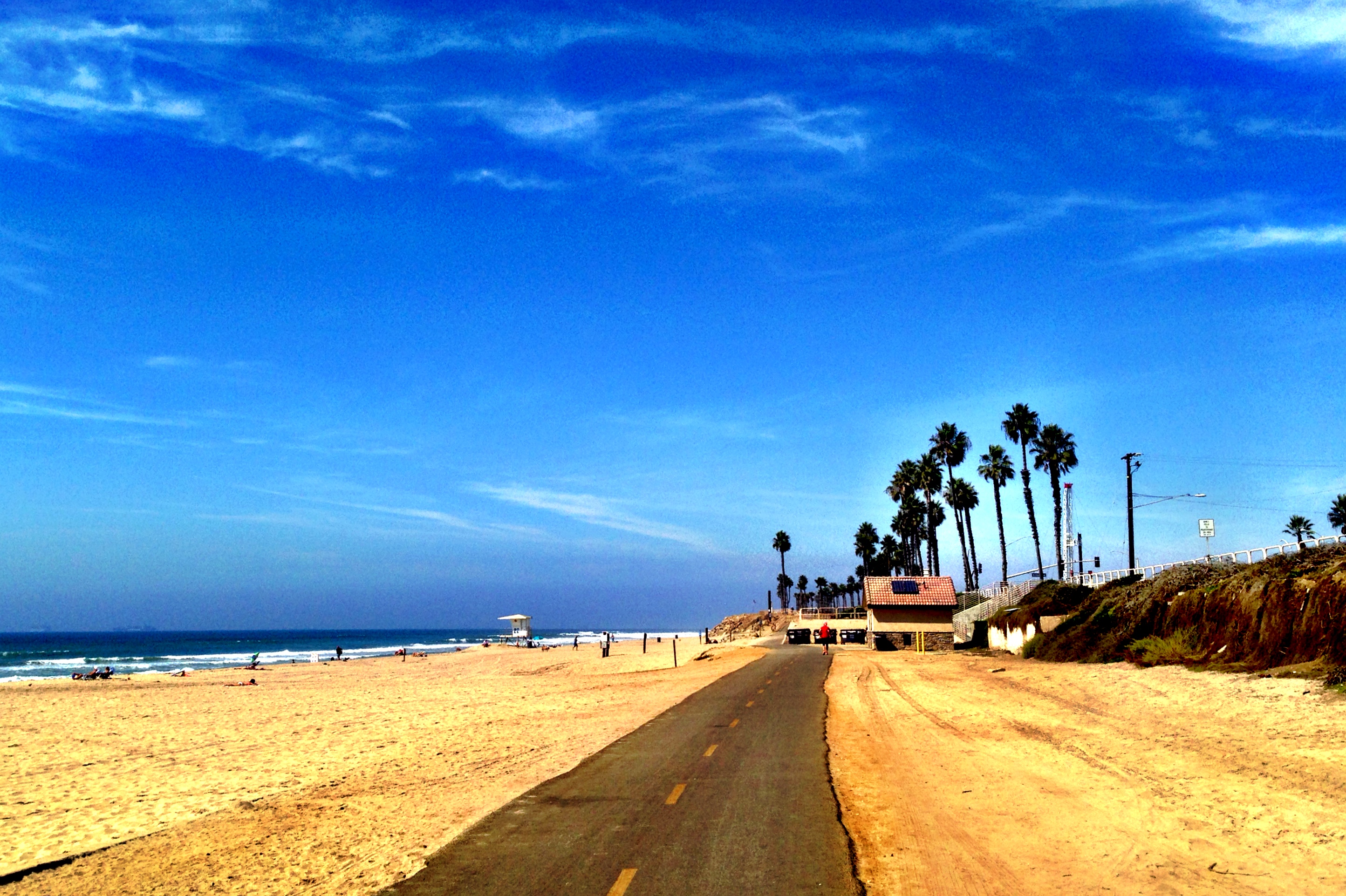
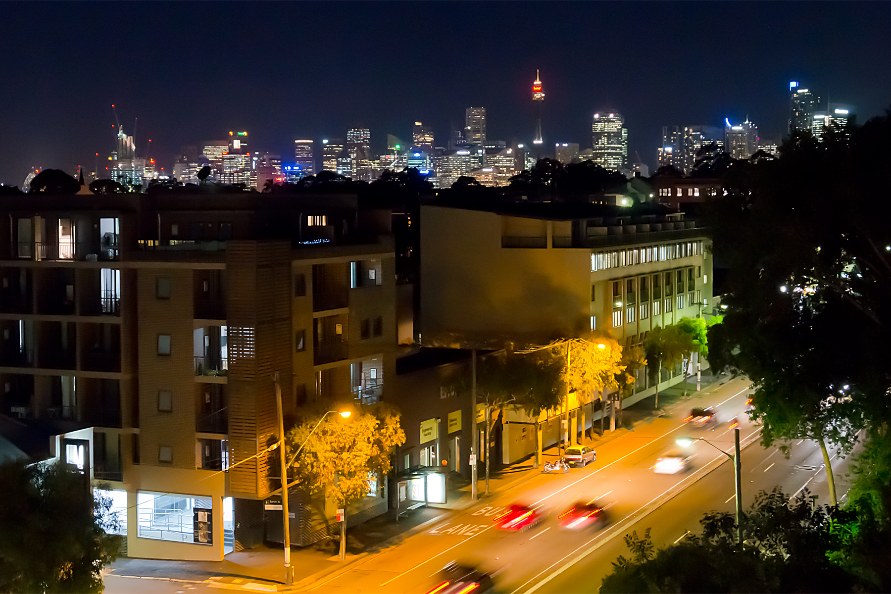
It’s summer again.  After the cool, damp and beautiful interlude of New Zealand, I’ve landed in Sydney.  Back into high 20s – early 30s C (though at least I’ve missed the 40C temperatures of a couple of weeks ago).  Back into humidity.  And back into thunderstorm season.  It feels a bit like a flashback to the American mid-west.  Though it looks a little different.  And just like NZ, there are pies here.

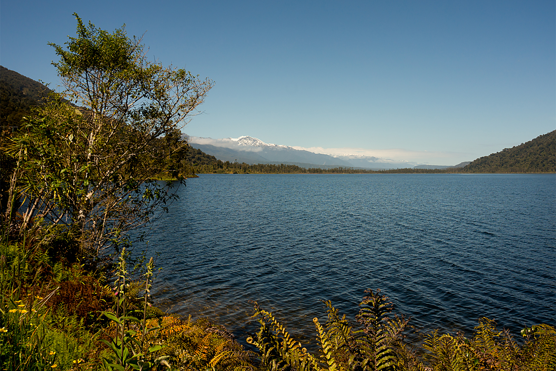
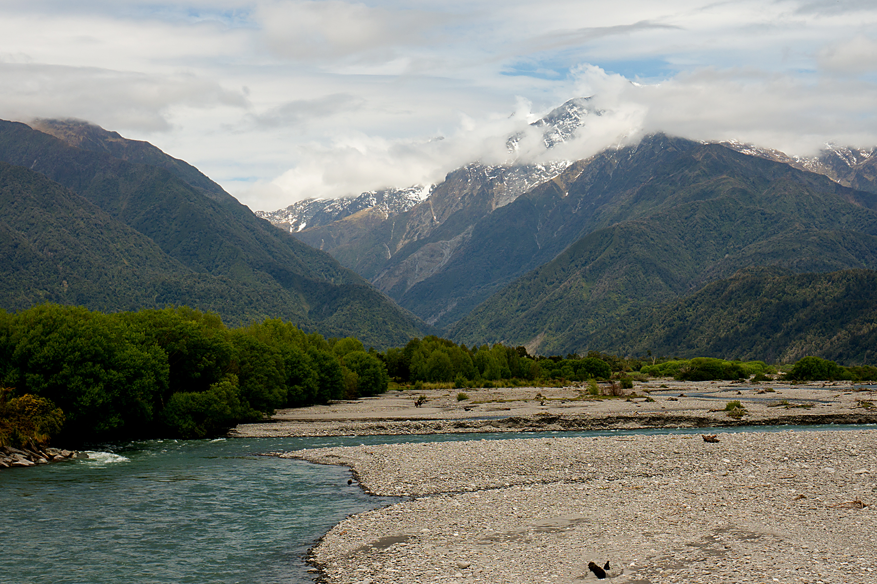
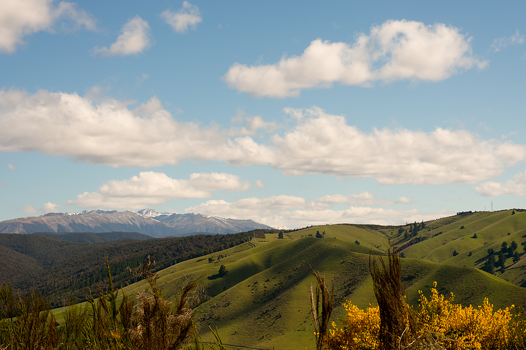
The last few days to Christchurch were fairly uneventful.  I found probably the busiest and flattest road in the country, and ploughed along it for a couple of hundred kms.  Apart from a few raindrops and a few more brushes (not quite literally, thankfully) with NZ drivers, nothing too exciting occurred.

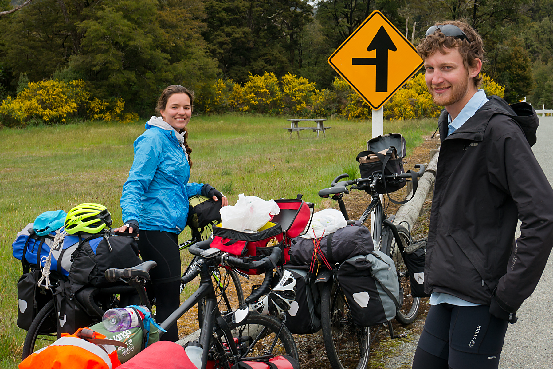
I did meet yet another cyclist who put my trip in perspective; a Frenchman in (I guess) his sixties, who’s been on the road for five years, across four continents.  Pretty remarkable.  More surprising, is that he’s planning to stop in a few months.  I guess that’ll be a difficult transition for him; I worry a bit about what I’m going to do when I finish, so it’s hard to imagine what it’d be like after five-plus years.

20141206RTW_5
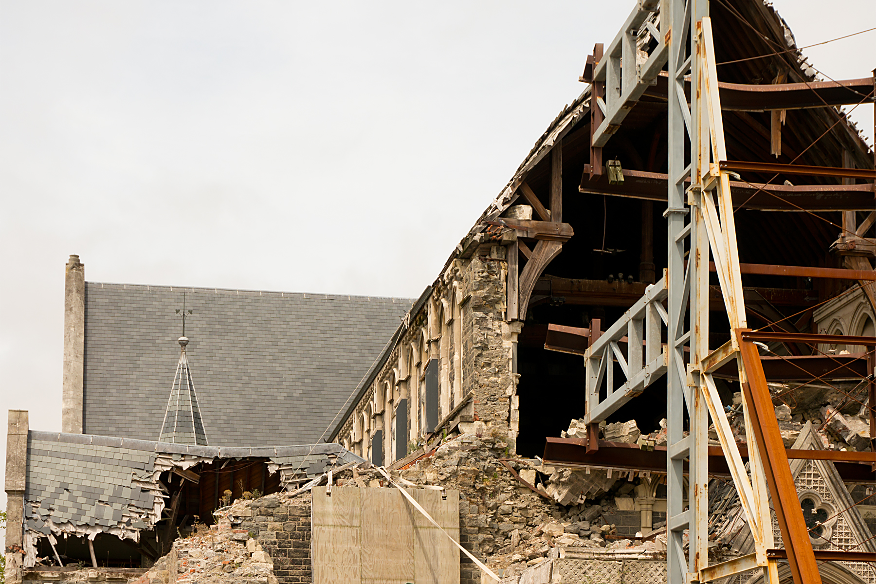
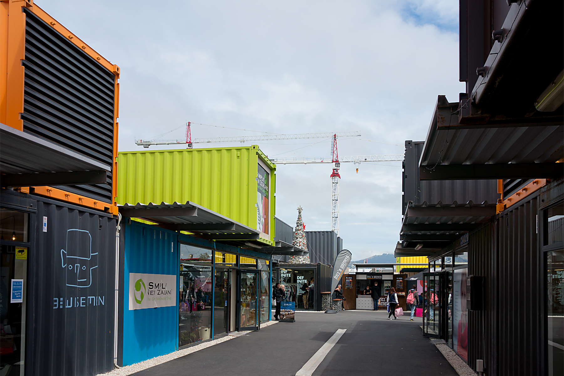
Christchurch is still a city in transition, rebuilding itself after severe earthquake damage.  It feels a bit odd, as the city centre is essentially a massive building site, with the heavily damaged cathedral surrounded by empty lots, diggers and cranes.  A few hundred metres away, there’s a temporary shopping centre built out of shipping containers; an ingenious solution to the devastation caused to the city.

20141206RTW_10
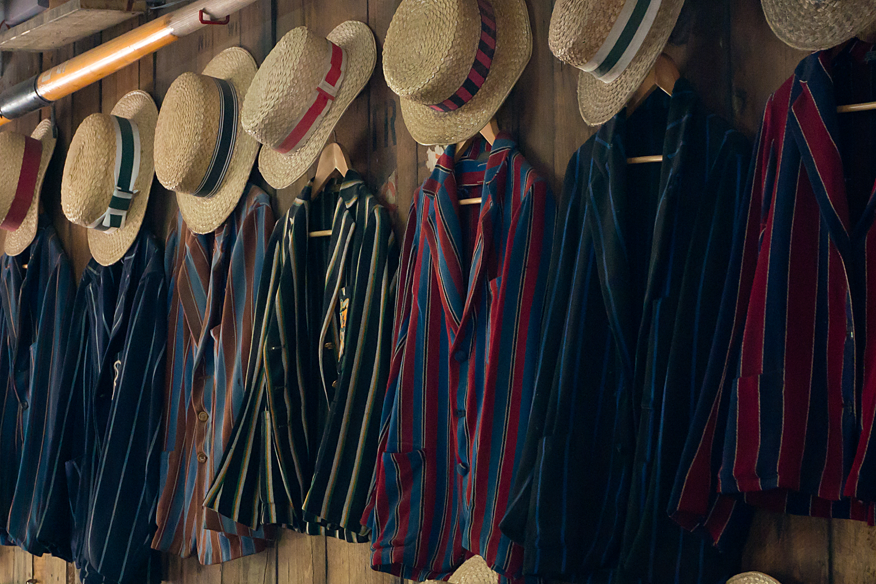
And then another few hundred metres takes you to the older area of town, which looks almost quintessentially English.  There are a bunch of Victorian buildings, which seem to have escaped the earthquake damage almost completely (along with most of the suburbs).  There’s the River Avon running through parkland, and there are punts on the river, just as you see at Oxford or Cambridge.  The contrast with the central district is astonishing.  Hopefully, as time and rebuilding go on, the city will reintegrate itself, but I suspect it’ll be a few years still until it all fits together seamlessly again.

20141206RTW_12
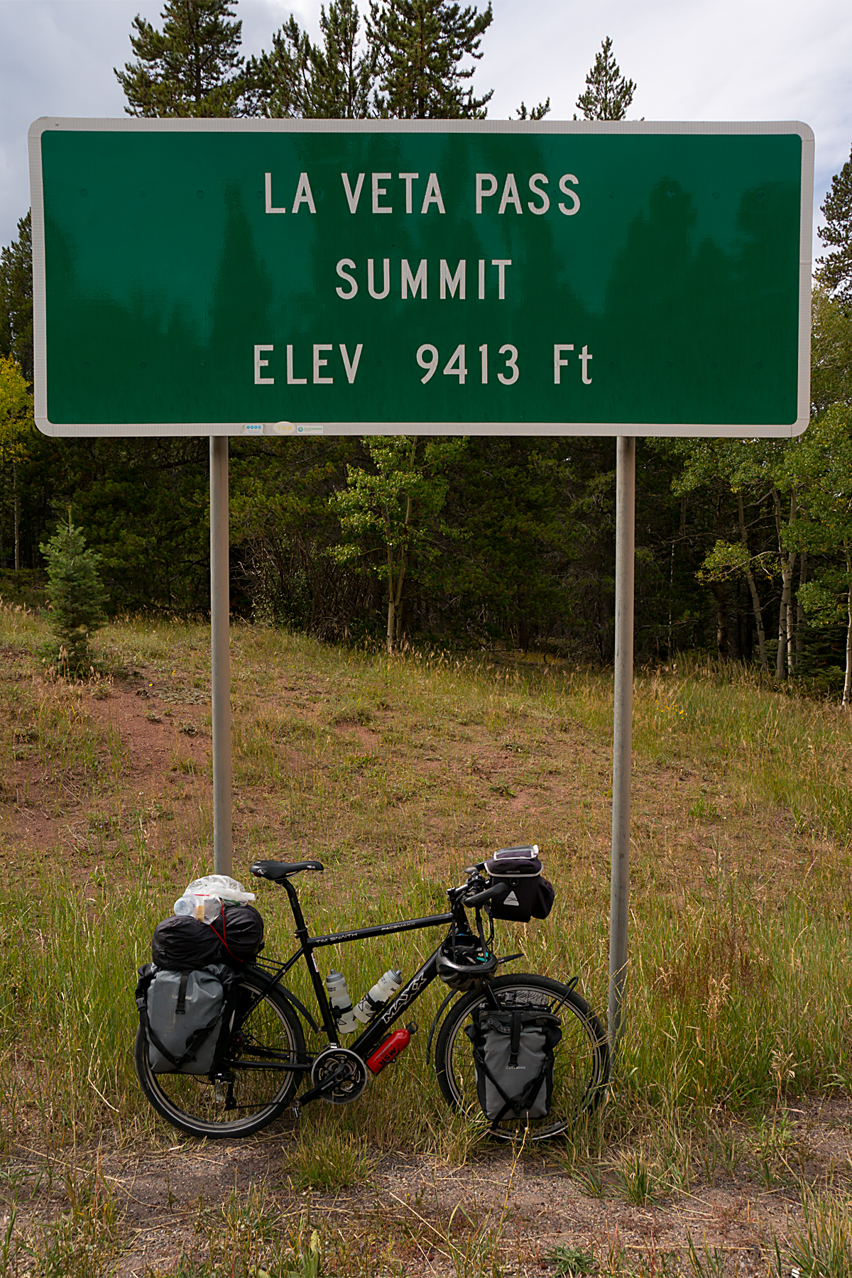
On Sunday, I was outside Christchurch airport trying to pack the Beast into a slightly-too-small box, which was continually trying to blow away in the blustery wind.  Eventually, I managed to squeeze it in, and only had to pay 90% of the cost of my own ticket to get it on the plane.  I wouldn’t necessarily recommend flying with a bike as a stress-free experience.

20141208RTW_11
In the end, the Beast did get on the plane, and the plane performed as expected.  We arrived in Australia on Sunday evening, stepping out of the air-conditioned airport into the muggy summer night.  A day spent rebuilding the bike on Monday, as well as patching a damaged pannier (exploded mosquito repellent, plus Ortlieb pannier, equals chemically-melted plastic – ouch!).

And this morning (Tuesday), I’ll be on the road in country number nine.  Back on with the sunscreen and shorts for a while, though the rain jacket looks like it’ll still be useful, too, on occasions.  More from Oz soon, as I begin the long, long trundle to Darwin…

Lake Country

Four long-ish days to Christchurch, two fairly hilly, two fairly flat.  And a flight to Sydney on Sunday evening.  I did the sums.  It was only Monday morning.  After my escape from the rain on the west coast, I reckoned I deserved a day off at Wanaka.  It was a bit of a risk; if the weather wasn’t better this side of the mountains, I might end up needing a train or a bus to Christchurch.

I might still need a train or bus, as there are still a fair few miles to go from here in Geraldine.  But the weather’s been better.  Mostly.  I’ve ridden along canals in the sky.  And Wanaka’s really pretty in the sunshine.

20141200RTWb
The shortest way to Christchurch was via the lakes, just the other side of Aoraki / Mount Cook from Fox Glacier, where I spent so much time last week.  First, there was the small matter of dragging the Beast and the bags up Lindis Pass, to my highest point in New Zealand at over 900m.  As you can see, the weather remained dire, but I bravely soldiered on.

20141202RTW_3
With Lindis pass behind me, the way to the lakes was open.  First Pukaki (very pretty, despite a name which must imply the opposite in pretty much any language), then Tekapo.  And just before Pukaki, I hit the first of the canals in the sky.

The canals run across many kilometres of the alpine foothills, generating hydro-power from the meltwater lakes, and providing a home for salmon farms.  I don’t know how many canals there are in the world at over 750m altitude, but I’m guessing not that many.  Between the lakes, the road along the canal provides a nice traffic-free route through the hills for pedestrians and cyclists.

I met an English couple on bikes, coming the other way as I skirted Pukaki.  I asked them how the trail was.  “Mainly tarmac, bit of gravel.  Flat as a pancake”, was the gist of the reply.  Apparently, they had both forgotten that they had just plunged down a 200 vertical metre, 10% gradient hill.  Much fruity language was deployed in their (now distant) direction, as I struggled up said hill, just a few minutes later.  Grrr…

IMG_0415
Still, once up on the trail, it was flat (or, at least, so gently uphill that you barely notice), and with a beautiful backdrop of snow-capped mountains.  And no traffic, which made for a drop in stress levels.  Until I arrived in Lake Tekapo village in the drizzle, only to discover that it was pretty much entirely booked out by hordes of Chinese tourists.

Having bravely borne a good, oh, 15 minutes of stress trying to find somewhere to rest my tired head, I finally collapsed into a super-grotty room.  And while wandering out to get some food a little later, I understood why the place is such a busy stop on the tourist trail.  It’s really stunning as the sun goes down.

20141203RTW_22
From Tekapo, it was an easy 90-ish km (55 miles) downhill to Geraldine.  On paper.  The kiwi weather, with its typical capriciousness, decided otherwise, as the wind flipped through a full 180 degrees in the time it took me to drink a coffee.  A decent tailwind, which had finally pushed me through the 40mph (64 kph) barrier just a few minutes earlier (I’ve been ludicrously close to the mark several times on the trip, but a tailwind was clearly the missing ingredient), suddenly became a fairly evil headwind, which made the last half of today’s ride a little tiresome.

Still, I’ve managed three consecutive days on the road without getting more than slightly wet.  That’s a first since I arrived on South Island.  I’ve also charged through the 9000km mark.  And there’s a chance that I might get the tailwind back for the long run to Christchurch tomorrow (Friday).

I’ll believe that when I see it…

The Occasional Alps

This might sound a little familiar.  Sitting in a hostel, gazing forlornly out of the window at astonishing quantities of driving rain.  And much twiddling of thumbs and pacing up and down until the skies (maybe) clear.

I’m sure someone else was doing that yesterday morning (Tuesday).  They may even have experienced a flicker of sympathy for any cyclists plugging away outside.  I, however, was busy multi-tasking.  I was out on the Beast, getting soaked to the skin and climbing hills.

The west coast of New Zealand is proving tricky on a bike.  Towns are spread unevenly and without much between, so you sometimes need to ride a short repositioning day before a longer run.  And the Southern Alps, which are a constant companion to the left of the road, have been getting bigger and bigger, which means the foothills are bigger too.  Oh, and I might have mentioned that the weather is a little bit fickle.  To say the least.

20141124RTW_3
Yes, the Southern Alps are always there, but you only get to see them occasionally.  Usually (at least with me seeming to attract moisture from the air wherever I go in NZ), they’re either hiding their heads in low cloud, or are completely obscured by heavy rain.  They’re always there, but you definitely wouldn’t always know.

20141124RTW_9
When you can see it, the scenery is spectacular.  As I’ve meandered south into glacier country, the sun has sometimes bothered to appear, and the snow-capped peaks, lakes and icy rivers are absolutely beautiful.  And the sun is strong when it comes out.  I’ve actually had to dig out the sunscreen a couple of times, which must be an improvement, mustn’t it?  Until you look at the forecast for the rest of the week…

20141124RTW_11
I got to Franz Josef Glacier on Monday.  This is both true and slightly misleading, as I only got to the town of Franz Josef Glacier.  Not quite to Franz Josef Glacier itself.  Hope that’s all clear enough?  And then I got soaked on the short, but hilly, run to Fox Glacier yesterday (again, that’s Fox Glacier, not Fox Glacier, but then I guess you’ve worked that out already).

This morning (Wednesday), and a now all-too-familiar scene repeated itself.  I was, once again, the one in the hostel, watching the hills disappear and reappear between sheets of torrential rain.  Given that the nearest hill is only half a kilometre away, it takes some fairly serious precipitation to make it vanish.  I was set to push on to Haast today, which is a long day’s ride, and then over the Alps tomorrow to, hopefully, better weather.  But the rain’s not ready to let me go just yet.

That may be just as well.  It would have been a shame to leave glacier country without seeing a glacier.  And as the rain became a little more showery around lunchtime, I commandeered a Swede’s car (OK, OK, he was going anyway, and offered me a lift), and we drove up to have a look.

20141126RTW
The glaciers here come fairly close to sea level, and are surrounded by temperate rainforest.  That’s RAINforest.  Appropriately enough.  Makes a pretty frame for the hills and glaciers, mind you.

So, in theory, I should hit the westernmost end of the Kiwi leg of my trip tomorrow, before cutting over the mountains (sounds easy, right?), and then swinging north toward Christchurch and my flight to Australia.  Don’t be too surprised if nothing of the sort happens, though.

I’m also pretty determined that my next post won’t have anything negative to say about the weather.  Don’t be too surprised if that’s not the case either…

The Toughness Index; Crossing South Island

It’s raining horizontally in Westport this morning.  And while I appreciate the spectacle, I’m not going out on the bike today.  Under any circumstances.  In fact, I’m writing this from my bed, and have very little inclination to even move from here today.

It’s been a really good few days, though, and I’m due a rest.  And there’s a bit to catch up on.

Leaving Nelson a few days ago, I had an ambitious plan (given the ups, downs and twists of South Island roads and weather) to get to the west coast in two days.  The first would be a 130-odd km (80 miles ish) run to Murchison, during which I would tick off both the 8000km and 5000 mile markers for the trip.  And this would be followed by a (relatively) easy 100km / 60 mile ride down to Westport on the coast.  Simple.

As with all my plans, this proved a little optimistic.  Unlike most, this one fell apart within five minutes, as I hit the main drag out of Nelson and felt the full force of a brutal headwind.  It was immediately clear that there was no way I was going to make 130kms, hills or no hills.

I stopped at a shop to fortify myself with cola for a long, miserable day ahead.  And almost immediately, another loaded bike tourer appeared like magic (or, perhaps more accurately, like someone who’d been pushing it a bit against the wind to catch me up).

It was an Aussie called Ben, who was also heading toward Murchison, but who had sensibly split the ride into two more manageable days via St Arnaud.  An extra day, and a few more miles overall, but a complete no-brainer, given the wind.  Off we toddled, sharing the usual riding-in-company benefits of a bit of slipstreaming, and a bit of moaning about the weather and Kiwi driving standards.

20141116RTW_1It was a beautiful ride up into the mountains, but still a hard one at over 90kms and well over 1000 vertical metres of climbing.  And it turned out that (touring bike geeks that we are), we’d both hit on a very similar threshold for what constitutes a tough day on a heavily loaded touring bike.  I’m calling it the Toughness Index.  I’ll spare you the immense mathematical complexities involved, and just say that, when applied to all my days on the bike so far, I can now show semi-scientifically that touring New Zealand is tougher than crossing the Rockies (I already knew it felt that way, but it’s nice to be able to prove it).  Which also explains neatly why I’m not moving as fast as I was in North America.

The next morning, it was downhill all the way from St Arnaud to Murchison.  And just a few miles out of St Arnaud, I finally hit the 5000 mile mark, and had someone there to immortalise the moment in a photo (I’m not sure why I look so grumpy, by the way):

IMG_0384b

The less astute reader may think that Ben looks a bit like a girl.  A more questioning mind may speculate as to who was taking the picture.  It’s possible that some of you may have worked out that we’d met another rider in St Arnaud, and had a small peloton for the day.

Oh, and if you really are stuck on who was taking the picture, it was Ben.  And he’s not a girl.  Obviously.

It’s always interesting to see how different people approach bike touring.  I’ve got the carefully-designed, super-overbuilt Beast to carry my heavy bags relatively slowly around the globe on a trip I prepared for months.  Ben is running a lighter, faster cyclo-cross bike, which probably helps on the hills.  Just as well, as he’s a bit of a climbing junkie, heading for the highest and steepest roads he can find in NZ.  On purpose.  And Sofia (on a gap year from Mexico) basically just bought a hybrid bike and some small panniers in Wellington, tied her backpack on with string, and got on the ferry to explore South Island.

20141117RTW_6Anyway, we had a decent run down to Murchison together, with a very low Toughness Index, and only some properly iffy drivers and a bit of drizzle to contend with.  And yesterday morning (Tuesday), Ben and Sofia headed south for more hills, while I finally had Westport and the coast in my sights.

I essentially followed the Buller River valley / gorge all the way to Westport.  For once, there was very little rain about (I only spent around half-an hour hiding under trees), and it was a really beautiful ride, watching the river get bigger and bigger as it headed towards the sea.

20141118RTW_7So, once this ridiculous rain subsides, I’ll be off down the west coast.  The Toughness Index should drop as I head down the coast, at least for a while.  I just hope that the rain (in the wettest part of NZ) and the wind will ease up for a few days, so I can appreciate it properly.  The weather forecast is dubious, but then it has been every day here so far.  Where is that NZ summer?


The Road to La-La Land

I didn’t intend to head for Los Angeles when I made my half-baked ‘plans’ for this trip.  I didn’t really intend ever to head for LA.  I’m not a celeb-spotter, a wannabe-actor or a psychotic stalker (as far as I know).  And I’m deeply suspicious of anywhere where you can actually see the air you’re breathing (and you can, believe me).

But then my planning wasn’t especially extensive, and I initially intended to fly to New Zealand from Chile.  There are no direct flights from San Diego, so Los Angeles it had to be.  I had to leave the friendly embrace of ‘America’s finest city’ (the locals’ own description, naturally), and head up the coast.  A gentle 120 miles or so in three days, with only the last thirty-ish miles through the sprawling suburbs of southern LA.

I was familiar with the northern Californian coast from a road trip a few years back.  I really liked the meandering coastal highway, with the redwood trees, cliffs, beaches and sleepy little towns.  Southern California is a bit different.

After a first day cruising gently out of San Diego, through its northern suburbs and the seaside towns up the coast, things got a little more exciting on day two.  You need to cross the giant US military base at Camp Pendleton, which appears to be a little schizophrenic about cycling.  For the northern half of the base area (the second section for me), there’s a nice tarmac cycle track along the coast, merging into a state beach area.  This is genuinely nice.

IMG_0346

Unfortunately, the southern half of the base essentially cuts off every road apart from the Interstate, leading to a hairy 12-or-so miles along the glass-strewn hard shoulder, with the traffic doing a minimum of 70 mph next door.  This is nice only in a particularly sarcastic way.

On the plus side, you get to see the US Marines playing with their toys.  I’m not sure whether innocently taking long-lens pictures of military aircraft doing circuits and bumps on the beach gets foreigners into trouble in these paranoid days.  Especially while standing on US military property.  So I found the picture below, which gives a decent impression of what was going on around me (including the huge sand clouds) as I trundled through the base area.

MV22

Having traversed Pendleton, and cleared the sand from your eyes, lungs and crevices, there are a few more miles of seaside towns full of wealthy and semi-wealthy people before you hit the LA suburbs proper (I reckon LA starts a few miles before Long Beach).  I’ve seen more ‘all-too-well-known Seattle-based coffee shops’ in the last three days than in the whole of the rest of the way across the US.  This, I’m assured, is a sign of wealth.

A few more idyllic miles of beach-side cycle path followed, albeit with the dark smudge of LA’s halo of smog darkening the horizon.  This is the bike path along Huntingdon Beach, which is really very pleasant:

IMG_0347

And then an adrenaline-spiked, two-hour rush through southern LA.  I’m not entirely sure what happens to me when you put me on a bike in traffic, but it must be a relic of commuting in London.  Self-preservation requires hyper-awareness, eyes-in-the-back-of-my-head, and fairly (arguably very) aggressive riding between hundreds and hundreds of traffic lights.  The alternative is getting messily squashed.  It’s actually quite fun, in an extreme sport sort of way.  And it’s an absorbing enough game that you don’t notice how tiring it is.

Anyway, I arrived near LAX airport yesterday afternoon (Wednesday), leaving plenty of time to prep the bike for a long, long flight on Saturday evening.  Needless to say, I found a bike box within an hour or so this morning, so have an extra day to kill tomorrow. Not sure that I can find enough to keep me busy out here near the airport.

So maybe I will, despite my best intentions, end up in the centre of Los Angeles.  How unexpected.

Erm, What’s that Big Blue Thing?

Turns out it’s the Pacific Ocean.

Three months and two days after leaving London, I seem to have emulated the Beatles, the Rolling Stones and (inexplicably) One Direction, and ‘broken’ the States.  It’s an odd feeling; with the time-warping properties of bicycle travel, it seems like I’ve been in the US for ever and for five minutes at the same time.  And it hasn’t really sunk in yet that I’m apparently capable of riding a bike across a continent.  Odd…

The day before yesterday, I was still in the desert.  Another blistering drag across a sandy and featureless landscape, with just the coastal mountains getting closer on the horizon to reassure me that I was making progress.  Still close to a hundred in the shade, if there had been any shade.  Thankfully, I had the sense to make it a shortish day after the 90-miler previously, so I didn’t have too many hours of the ‘sunscreen in eyes’ thing to put up with.  I’d have struggled to make it any further in any case, as the long desert run had really taken it out of me, and I was feeling fairly rough.

20141014RTW_1By yesterday, I was feeling much better, but those mountains had become a reality.  There are 30-mile rides and there are 30-mile rides.  This one was 30 miles of uphill.  With over 1100 metres, or 3500ft, of vertical gain, it was also (slightly oddly) the biggest single climb of the trip so far, just because it started near sea-level, rather than from much higher up.  It felt like it too, although at least the temperature dropped to comfortable levels with the increasing elevation.  And that scent of pines, which I’d been fantasising about in the desert, was back for real for the last few miles.

20141014RTW_9

Just before the last major section of climbing, I met Don (“call me Rainbow – everyone else does” – I didn’t even ask…).  He was yet another super-impressive pensioner, who’d just spent five hours thrashing a mountain bike over the same hills I was puffing up.  And who looked as fresh as a daisy.  He was giving out free apples which he’d pinched off someone’s tree further up the hill.  Sixty-four going on fourteen.  It was nice to chat, but I was exhausted in a matter of minutes.

After a rest and junk-fuel lunch at a shop, and recovering slowly from the encounter with Rainbow, I ground on up the hill.  Ten minutes later, I was stopped again, this time after meeting Tim and Laura Moss, a pair of Brits who are on the final leg of their round-the-world ride.  I tried to sound knowledgable and experienced with the cycle touring stuff, but given that they’ve been 14 months on the road, and are just nipping across the US before getting home for Christmas, I didn’t really have much to offer except admiration.

Thankfully, getting to the beautiful little town of Julian at the top of the climb restored my self-worth a wee bit.  I’d nailed the big climb.  My dodgy knee was actually feeling better than it had in the morning, which was good, but peculiar.  And I was only a day away from San Diego.

20141014RTW_12I celebrated (arguably a little prematurely) with a giant spicy burrito.  That’s not some sort of euphemism, by the way.  Just dinner.  I wandered round town for a while, breathing in those pine scents, and marvelling at the change from the arid, super-heated desert just a few miles away.  It’s a completely different world given that it must take less than an hour in a car (even though the roads are small and twisty).  Amazing.

And then today.  Basically just a 60-mile plunge down from the mountains to the sea.  Ignoring a couple of nasty hills which provided a little sting in the tail.  Another completely different climate, with drizzle threatened overnight, and extremely moderate temperatures.  And a couple of entertaining hours on main roads, playing with trucks and buffoons in cars.  I haven’t seen this much traffic since Portugal; such fun!

I was even welcomed into the area by a pair of F15s (I think – they were a little way away), which were circling the big military base at Miramar.  Really nice of them to make the effort to mark my arrival.  Must remember to write them a ‘thank you’ note…

But more important to me than the weather, the military or the traffic was hitting the Pacific at La Jolla Cove at half-past four this afternoon.  I immediately handed my camera to the nearest total stranger to capture the magic moment.  He did OK.  And he gave the camera back.

20141015RTW_1a

And that was it.  Across a continent on a heavy, heavy bicycle.  Job done.

What next?  A rest in San Diego (probably a week or so), and a tedious period of financial calculations to work out quite how badly I’ve obliterated the budget.  Probably some fairly radical surgery to Plan A to compensate.  Certain places may no longer have the future pleasure of a visit from me to look forward to.  If you see what I mean.

But at least I know I can get around the world on a bike now.  Whether I will or not is down to a vast amount of factors, only some of which I can control. I can’t be worrying about stuff all the time.

So, fingers crossed for the next stage; I’ll tell you exactly what that looks like as soon as I know!

Different Strokes

There are different ways of ‘doing’ Route 66.

You can do it end to end, all the way from Chicago to LA.  You can dip in and out, zipping along the interstate between the interesting sections of the old road.  You can do it in a convertible car, or with a pack of like-minded Germans on Harleys or Scandinavians in camper vans.  Or you can do it on a bicycle, which is obviously the best approach.

In the same way, there are different ways of making money from the tourist traffic. In my mind, at least, there are right and wrong ways to do this.

My first impressions were that it was a nice enough road, generally dropping (always good) out of the hills, but spoiled by over-exploitation.  The ‘charms’ of Seligman, which is touted as a quintissential Route 66 town, were entirely hidden by rows of tourist buses.  People from all over  the world waving a thousand cameras kind of spoiled it for me.  As did the double-priced coffee and breakfast surrounded by moaning French pensioners (coffee not good enough, apparently) and squeaking Chinese teens (just generally over-excited).  It was all a bit cheesy and depressing.

20141005RTW_2

Riding away from tourist hell was something of a relief.  I had what turned out to be an over-optimistic plan to ride an 80-odd mile section of the old road to Kingman.  The fact that I didn’t manage to get on the road until half-past ten was not a good sign (getting up early has never been a strength of mine).  The heat that was kicking back in as my elevation decreased didn’t help.  It was quickly apparent that I wouldn’t make Kingman in a day.

I had developed a cunning back-up plan for just such a contingency, involving a motel I’d spotted online, so I was quite happy arriving there in mid-afternoon.  Until the toilets and other porcelain artifacts sitting outside the rooms made it fairly clear that the Frontier Motel was not currently open (apart from the gift shop).  And there was a grand total of zero alternative accommodation between there and Kingman.

Thankfully, it was time for another rescue from generous Americans.  Allen and Stacy bought the Frontier six months ago, and are gradually bringing the motel, cafe and shop back to its former glory.  Most importantly for me, they were happy to let a sweaty, smelly cyclist sleep on the floor of the not-yet reopened cafe.

IMG_0324They are a lovely family, who moved out (kids, dogs and all) with the aim of bringing a Route 66 landmark back to life.  There’s no intention to turn the place into another Seligman; they’re just really nice people working hard to re-build a small business in the middle of nowhere.  The contrast with Seligman’s disneyfied approach couldn’t be starker.  I wish them every success with it.

In the same way that there are different ways to earn tourist dollars, there are different versions of history.

I’m parked up in Lake Havasu City today (Tuesday).  Amazing that I can already see my last US state, California, across the lake.  The city is famous for only one thing: it’s the home of London Bridge.  I’ll be out later today to look at it properly, but this was my first view (sadly with a deeply attractive car park as foreground):

20141007RTW_3

There’s no doubt that it’s a bit weird to find a chunk of London in the Arizona desert, especially when I’ve crossed the replacement London Bridge so many times.  There’s a standard ‘stupid Americans’ story in the UK, which says that the intention was to buy the iconic Tower Bridge, and that they got this one by accident.  But dismantling and rebuilding the bridge stone-by-stone, with the intention of building an entire resort around it, is not the sort of accident that really happens.  Definitely still weird, though.

And ‘Bizarre History Week’ was topped off yesterday morning in Kingman.  I was finishing my coffee outside a well-known fast-food ‘restaurant’ when I was approached by what appeared to be a middle-aged homeless man.

I’m glad that I didn’t blank him, though, as he turned out to work for Howard Hughes’ son, who’s the rightful ‘world emperor’.  My informant had been battling a covert conspiracy by the royal families of Europe to take over the world for some time.  I only had time for one story, but it turned out that, at the age of four, he’d been sent to London to assassinate the King.  He’d succeeded, and escaped with his mother on a Constellation airliner.  The Queen was a bit miffed, and sent fighters to shoot the plane down (“it was like Swiss cheese”), which killed the pilots.  Thankfully, my friend had already been taught to fly by his Dad, and was talked down to a crash-landing in Paris.  The plane was so shot up that the tail fell off on landing, and he was presented with a pilot’s licence by the super-impressed Parisian air-traffic controllers.  A cynic may find this all a bit unlikely.  I’m just not sure where they found enough cushions for a four-year-old to see out of the plane’s cockpit.

In any case, I had hitherto been entirely ignorant of this important historic episode, and will be searching the internet carefully to find out more about it.

Plenty to ponder then, as I head into the last few days of crossing the continent.  I’ve got a tricky bit of hot desert to get across before the more temperate coastal zone, and there’s yet another hurricane dying off Baja California, which is pushing some rain and storms my way.  Should still be less than a week to the seaside, though.

Assuming the Queen doesn’t have me hunted down before I get there, that is…


Across the Great Divide

I might have to revise my comment of a few days ago about there being two types of people in Colorado.  I essentially implied that they were all either paranoid retirees or stoner-bikers.  It’s taken a few days, but I’ve worked out that people here are actually just more independent-minded, more thinking, and considerably less heavy (weight-wise) than those I’ve encountered elsewhere in the USA.

I headed out of Del Norte with a tiny headache on Saturday morning.  Mike and Kim at the Organic Peddler had arranged a party for one of their staff who was leaving the night before, and I’d been invited, which was lovely.  As tends to happen (at least to me), this had resulted in Mike, Mark and me sitting around in the late evening, having a long and rambling conversation about everything from sustainable building to US foreign policy.  I also had an invitation for breakfast at Patti and Gary’s (hoping I’ve spelled Patti’s name correctly) cabin by the Rio Grande.  They are both experienced offroad bike tourers, and it was lovely to eat out in the morning sunshine, overlooking the river, and discussing places we’d both been (like Spain and Portugal) and places I’ll be heading to (the Western US and Peru).  I startled a deer on the lane to the cabin, and saw another crossing the river as I left.  It was almost a shame to have to drag myself back onto the road, and head for the Great Divide.

20140921RTW_7Wolf Creek Pass is the highest pass on my US itinerary.  It was a fairly easy, but long, climb up from the valley, though it steepened up for the last couple of miles, and the combination of thin air and heavy bags meant I was forced to take my time.  Eventually, I pottered up to the top of the pass at 10857ft (3309m).  The pass is also on the Great Divide, meaning that (in theory) rain that falls on one side will drain into the Pacific, while on the other side, it will drain into either the Caribbean or the Atlantic.  Another landmark reached en route to the west coast.

Unfortunately, passing the Great Divide doesn’t mean it’s all downhill from here to California; there are still a few hills in the way.  But the descent off the pass was stunning.  I dropped nearly a thousand metres in half an hour (would have been even quicker if I’d not stopped a couple of times for photos), plunging down a wide, smooth but twisting road to the valley floor.  At an average of over 30mph.  There was a massive smile on my face all the way down; downhills feel even better when they’ve been earned by a big climb.

20140921RTW_8The other side of the pass (I got to Pagosa Springs that evening, and then on to Durango) is tourist country.  There are people from all over the states, and from many other countries, and prices which have risen to reflect the tourism.  It’s stunning countryside, and the riding is fairly easy, with gentle gradients between the hills (my thighs are disagreeing slightly about that last statement, but still…).

And there’s some hope for those wishing me a close encounter with bears (obviously out of a desire for me to have a great experience, not to be eaten or otherwise molested).  I met a biker last night, Nate, who was heading to Texas.  He’d seen a bear by the side of the road on the way in, and had the video to prove it.  So they are about.  Maybe I’ll catch a glimpse before I hit Utah in a couple of days.  But hopefully not from too close.


Two Tales of the Unexpected

First things first; congratulations to Scotland on making the right decision last night.  It would have been extremely odd to have returned to a completely different country to the one I left…

I’m having a day off in the nice little town of Del Norte today.  And pondering some oddities over my huevos rancheros and coffee this morning.

If I’d had to identify before I left home where the flattest day’s ride of the trip would be, the Rockies would not have been high on the list of candidates.  The French coast, maybe.  The plains of Kansas, maybe.  But not the Rockies.

And yet yesterday was the flattest day so far, with less than 100m (300ft) of climbing.  Very bizarre.

I climbed La Veta pass the day before, which took me to a height of 9413ft (just under 3000m), and then dropped into the valley beyond; a lovely 20 mile downhill, which was only slightly marred by being pursued relentlessly by a storm.  It never quite caught me, but meant I had to cut the day short at Fort Garland.  This left the whole of the flat valley bottom for yesterday.

20140918RTW_3

The Holland-like flatness was a nice change of pace.  I seem to be fully adjusted to the altitude now, and the gentle 58-mile roll across the valley was a nice prelude to a day off.  There’s a bigger and steeper pass to come tomorrow, which is supposed to be stunning, so the rest day is well worthwhile.

I rolled into Del Norte and found another cyclists’ hostel.  This one is part of a fantastic little complex called Organic Peddler on the Edge, including a shop and cafe.  It was recommended by Debbie, who I met back in Newton, Kansas, about a hundred years ago.  The hostel has been set up mainly to cater for bikers doing the Great Divide Mountain Bike Route, which runs nearly 2800 miles down the Rockies from Banff in Canada to the Mexican border.  Offroad.  If you think I’m doing a tough ride, think again…

IMG_0279

I settled into the hostel, and was told that another biker would be arriving later.  Nobody seemed sure exactly when, but he was apparently a 70-year-old guy who was riding the Great Divide (again putting me to shame; 2000-odd miles offroad at 70?!?), and had decided to abandon as he couldn’t keep up with the rest of his group.  Some of this was true.

After a pizza and a couple of beers in town, I returned to an empty hostel.  I guessed maybe he hadn’t made it after all.

At about ten-thirty, there was a crunching of gravel outside, followed by a knock at the door.  A guy who looked to be in his late 50s stood in the doorway.  Dressed in a hospital gown, complete with wrist-tag and multiple wound dressings.

Clearly, he’d not had a good day.

It turned out that this was the 70-year-old I’d been waiting for, and that he was abandoning his Great Divide ride.  Not because he couldn’t keep up, but because he’d somehow (and he was no clearer on how than I was; I suspect alcohol may have been involved) managed to fall into his campfire, setting himself alight.  Thankfully, he’d been rescued by one of his companions, but not before sustaining severe burns.  He’d just got back to Del Norte after an air-ambulance trip to Denver.  Hope he’s got decent insurance…

So, the Rockies are being interesting already, and I’ve still got several days more to go.  Big climbs, hot springs, and beautiful scenery are what I’m expecting.  But who knows what other oddness may be on the way too?

IMG_0278

Easing into the High Life

There seem to be two types of people in Colorado so far.

I pulled into Walsenburg on Sunday evening, after 75 miles of barren moors and climbing, with only a few giant wind turbines to keep me awake.

IMG_0269.JPG

I was almost immediately assailed by a bewildering amount of “dude”ing from two guys on mountain bikes. They were excited by my bike, my trip, and because they’d never met anyone from “abroad” before. Once we’d cleared all that, what they really wanted to know was whether marijuana was legal in Europe.

Not that they really cared, as it’s legal here in Colorado, apparently. I didn’t get the impression they were intending to leave the state anytime soon.

And then today, having trundled a few miles up the road to La Veta, I met a lawyer who seemed to be an extremely worried man. My clothes are too blue; the awful drivers here won’t see me and will kill me. And when I get to Mexico, people will see me coming, then lie down in the street with ketchup everywhere, pretending to be hurt. They will then attack me “with machetes”, and steal everything I own. Where they’d get that much ketchup at short notice was never really explained.

I can understand why my lawyer friend moved here to get away from all the world’s perceived dangers. La Veta is a peaceful little town full of galleries and antique shops. Just the place for a nice cup of tea and a lie down in a dark room. And the scenery is already getting beautiful, before I reach the properly big hills. The sort of town where you can try to forget that the whole world is out to get you.

IMG_0271.JPG

I do, by the way, accept that there may well be some perfectly ordinary people around here as well.

I was hoping to be further on today, over the big pass towards Alamosa. I felt good when I woke up this morning to crystal clear blue skies, and felt no effects from the relatively high elevation as I pottered around town for breakfast etc. Then I got on the bike. Suddenly, with the exertion, my legs felt like lead, and I developed a bit of a headache. Not enough to worry about, and there was a fair chunk of climbing involved too. But I took the view that stopping here at the bottom of the big hill would give me a bit more time to acclimatise; I’m already way higher that I’ve been on the trip so far. In fact, I’ve never ridden at these elevations before, let alone over a 3000m (9500-odd feet) pass, so I reckon taking it easy is the way to go.

So, the first big test in the Rockies tomorrow. Just hope the blue clothes don’t ruin it for me…